 Hiking Cassidy Arch
Capitol Reef
Overview
|
Fri 61 | 47 |
Sat 57 | 41 |
Sun 64 | 40 |
Mon 73 | 43 |
Tue 75 | 48 |
| View Full Weather Details | ||||
|
Fri 61 | 47 |
Sat 57 | 41 |
Sun 64 | 40 |
Mon 73 | 43 |
Tue 75 | 48 |
| View Full Weather Details | ||||
Looking back from near the arch.
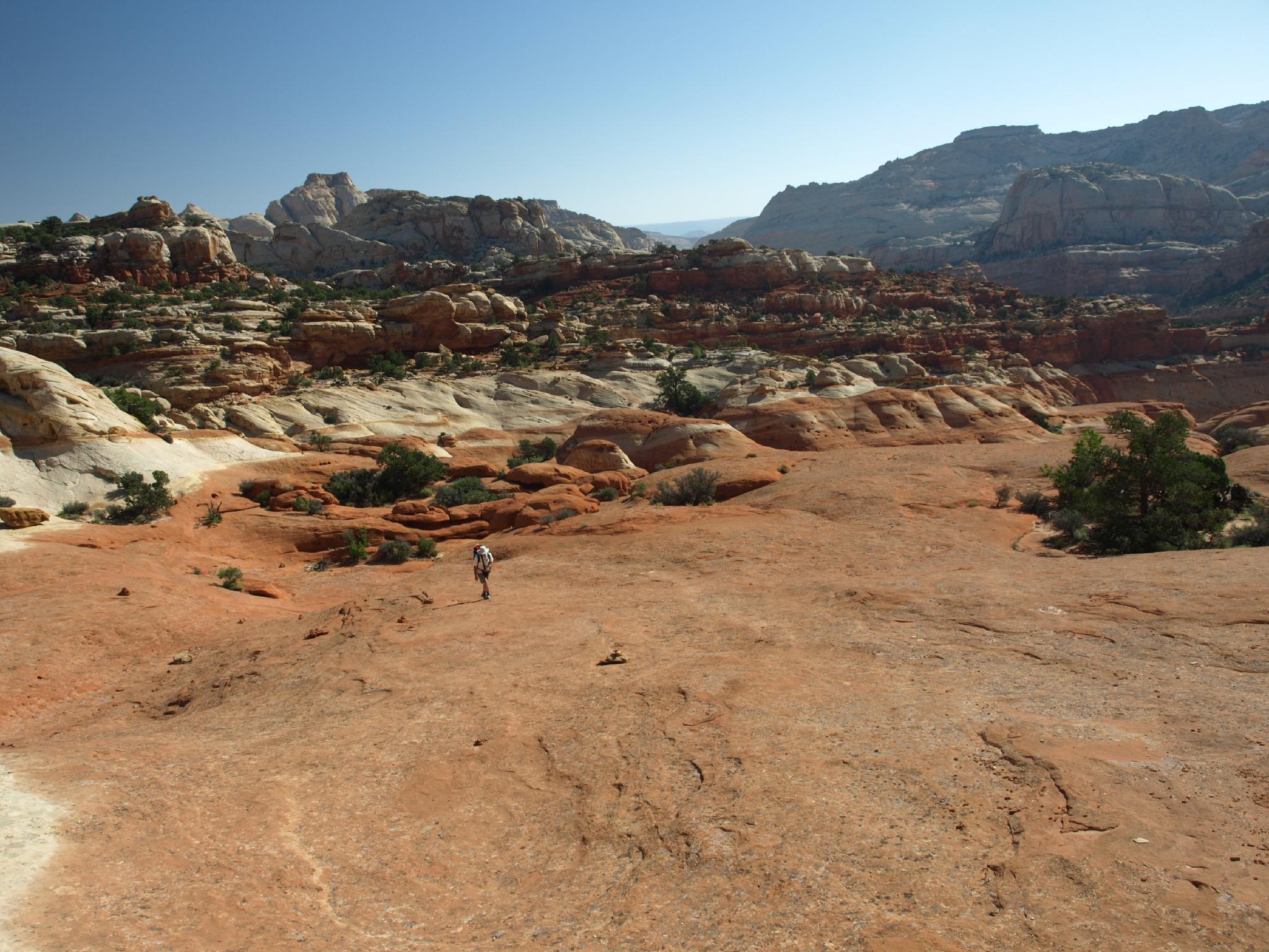
This is one of my favorite hikes in the park, even if just doing it as a hike, and not taking the technical canyoneering route back to the trailhead. The hike is moderate, with about a 670 vertical foot gain from Grand Wash to the arch perched high on the cliffs above Grand Wash. Afternoon seems to offer best lighting for pictures, but start early in the day during the summer to beat the afternoon heat.
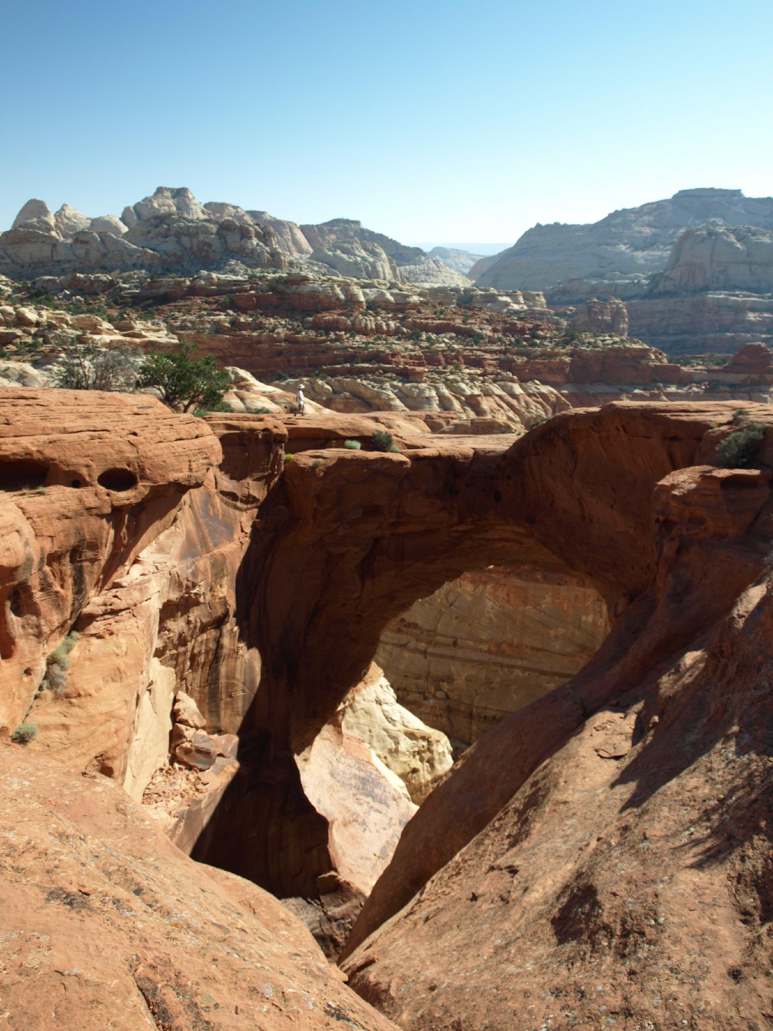
Cassidy Arch
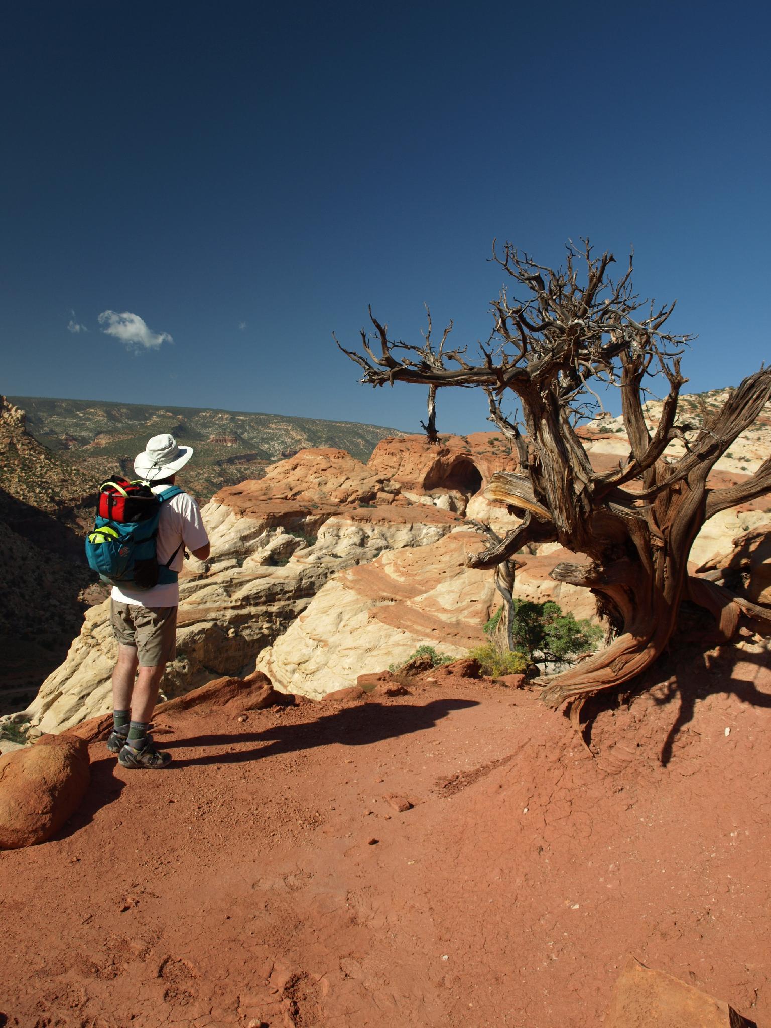
En Route to Cassidy Arch
Getting There
From the visitor center, take the scenic drive. It passes several visitor attractions at 1.0 miles, and the campground at 1.2. At 1.6 miles is a fee station. Currently (2017) the fee is $10 per car, or free with a National Parks pass. Continue to 3.4 miles where Grand Wash is on the left. Follow the Grand Wash road 1.2 miles to it's end. En route down Grand Wash, at 0.75 miles, you will see the Cassidy Arch viewpoint. This is a nice stop to see the arch from below before starting the hike.
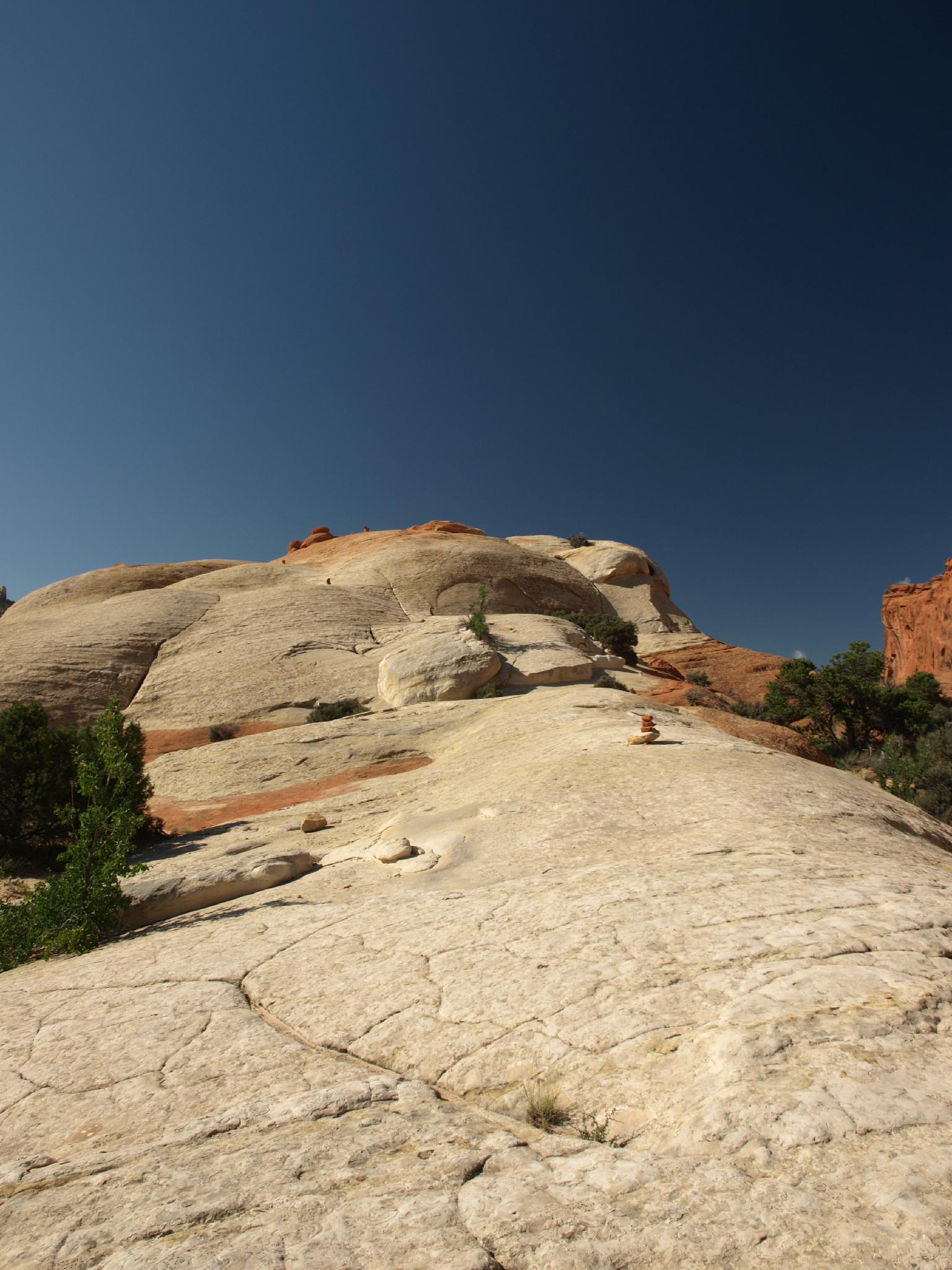
Cairns near the Arch
Route
From the trailhead, follow the well marked Grand Wash trail down stream. In 0.3 miles (5 minutes), the Cassidy Arch trail branches off on the left and begins the steep ascent to the arch. The trail is easy to follow, to where it nears the arch. Here, at the final junction, go left again and follow cairns across slick rock to the top of the arch.
From the arch, Boulder Mountain is to the southwest, with Ferns Nipple prominent on the skyline to the south, and Shinob Canyon as it dumps into Grand Wash.
Return the same way.
Photos
Maps

| TrCassidy Trailhead |
12S 481112mE 4235105mN N38° 15' 50" W111° 12' 57" |
| Junction - Left |
12S 481333mE 4235347mN N38° 15' 57" W111° 12' 48" |
| Junction - Left |
12S 480336mE 4235167mN N38° 15' 52" W111° 13' 29" |
| Cassidy Arch |
12S 480229mE 4234797mN N38° 15' 40" W111° 13' 34" |