 Hiking Old Wagon Loop Trail
Capitol Reef
Overview
|
Fri 68 | 50 |
Sat 68 | 48 |
Sun 71 | 48 |
Mon 72 | 51 |
Tue 73 | 51 |
| View Full Weather Details | ||||
|
Fri 68 | 50 |
Sat 68 | 48 |
Sun 71 | 48 |
Mon 72 | 51 |
Tue 73 | 51 |
| View Full Weather Details | ||||
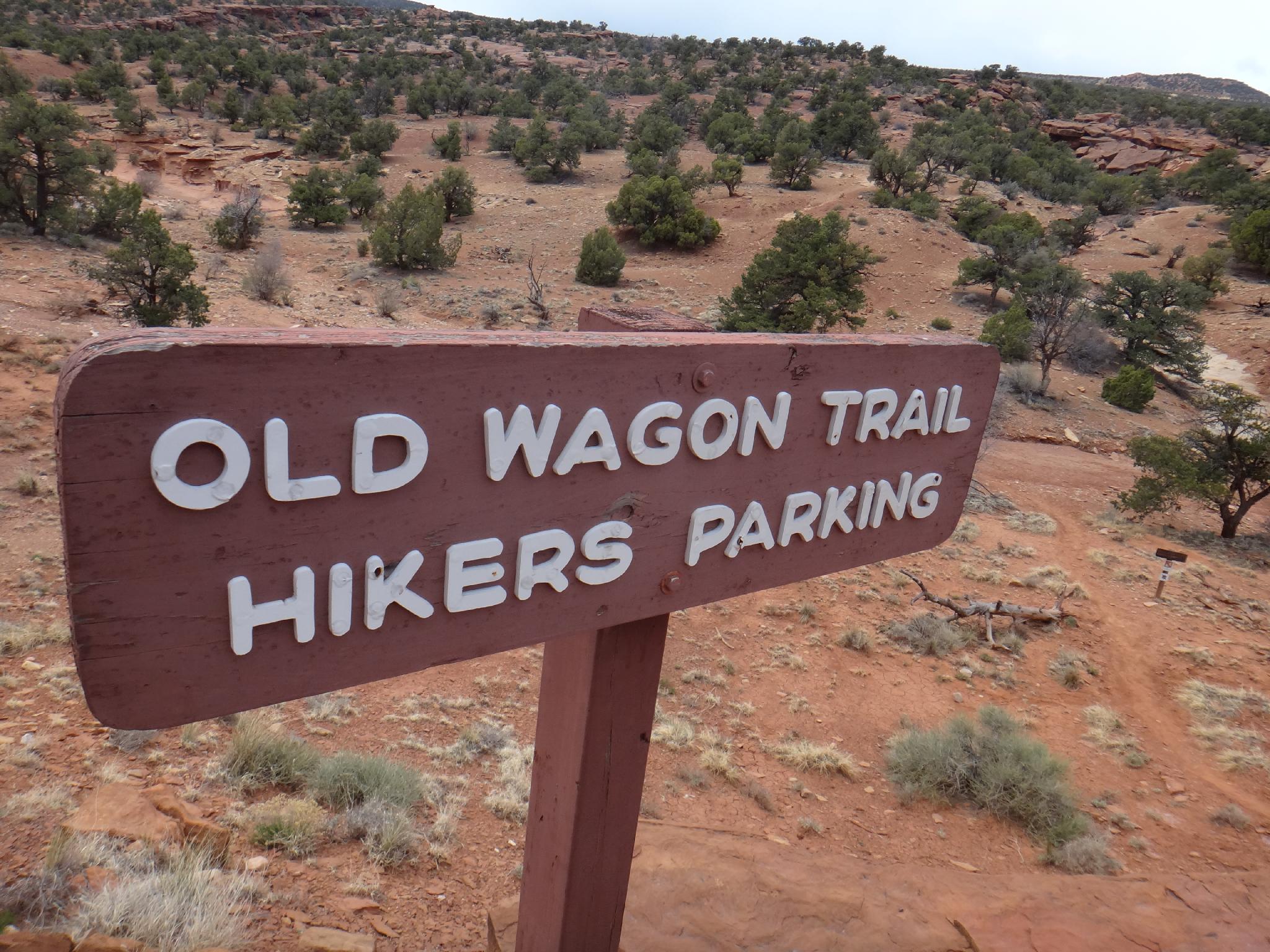
Trailhead sign
The Old Wagon Trail Loop hike is different than many others in the park. It meanders up Miners Mountain along and old wagon road, then loops around back to the trailhead. The main attraction is the historical wagon trail, and the views of the Waterpocket Fold to the east from a distance.
This is not a hike I would highly recommend, though it is interesting and has good views. Though the road was surely in better condition back in its day, it is humbling to think of the difficulties in building and using such a rough trail.
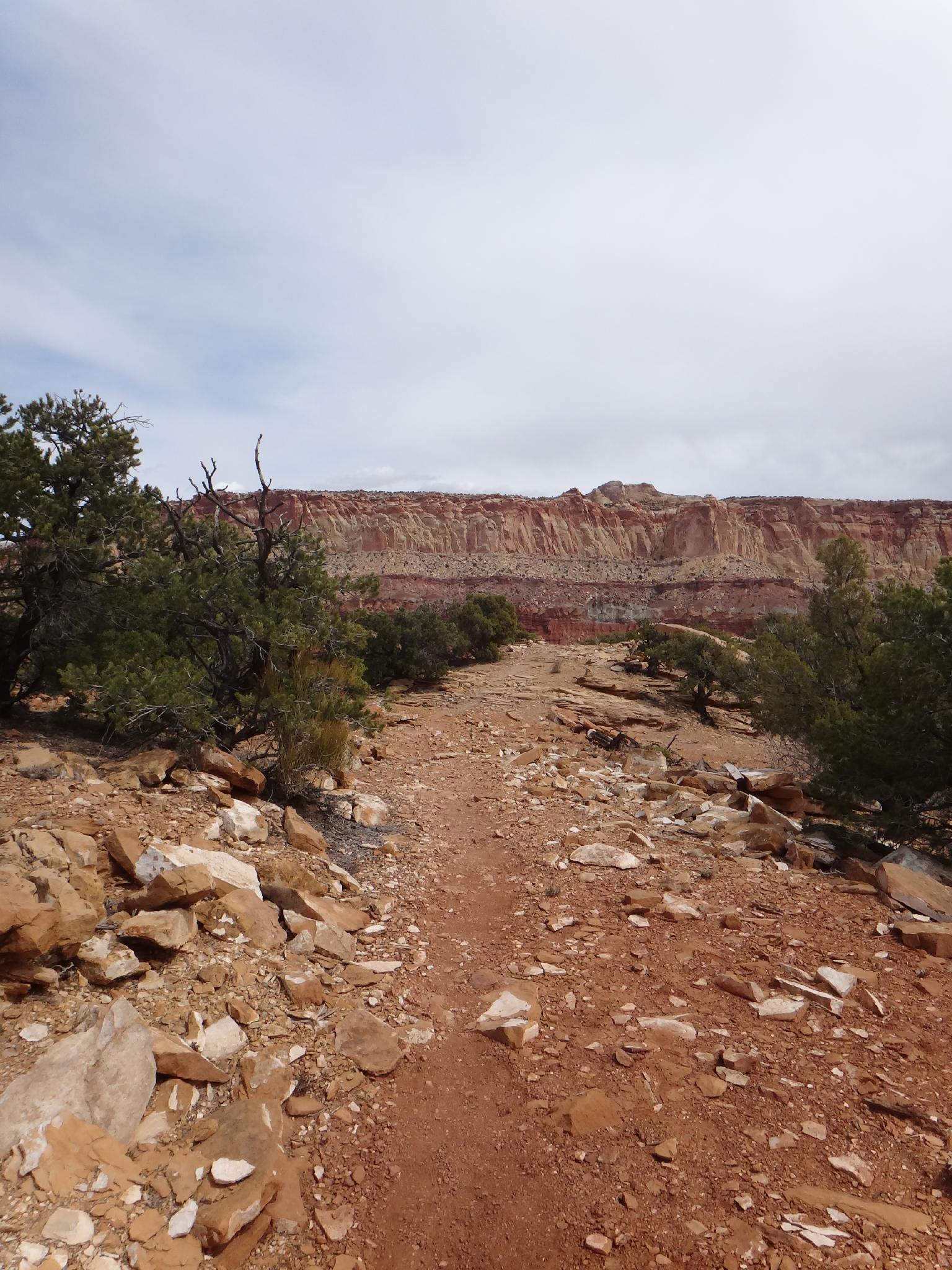
Along the old wagon trail
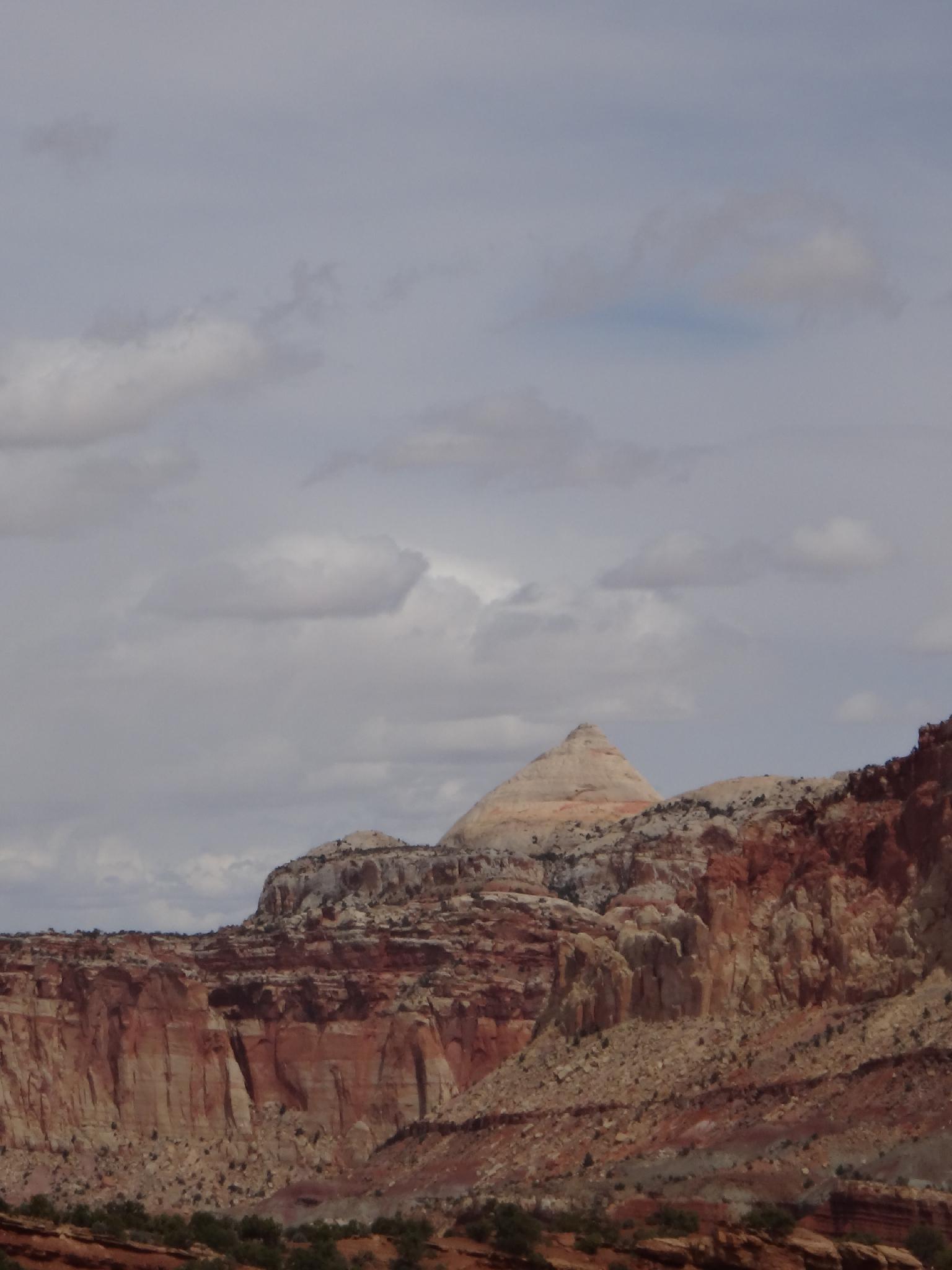
Ferns Nipple from the old wagon trail
Getting There
From the Capitol Reef Visitor Center, follow the Scenic Byway. At about 1.6 miles is the pay booth. At 6.5 miles, a pullout on the right side of the road is the Old Wagon Trail trailhead.
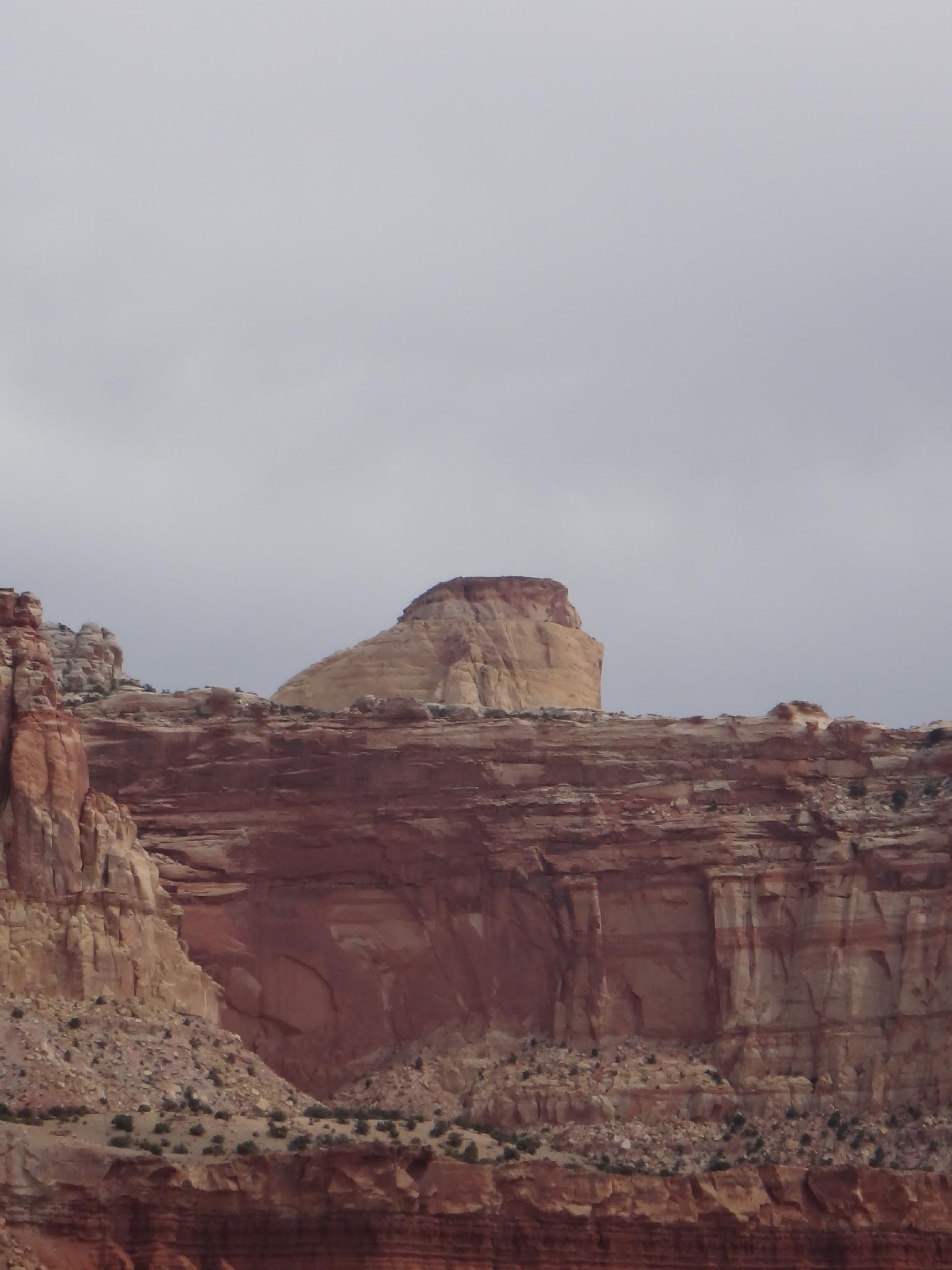
Golden Throne from the trail
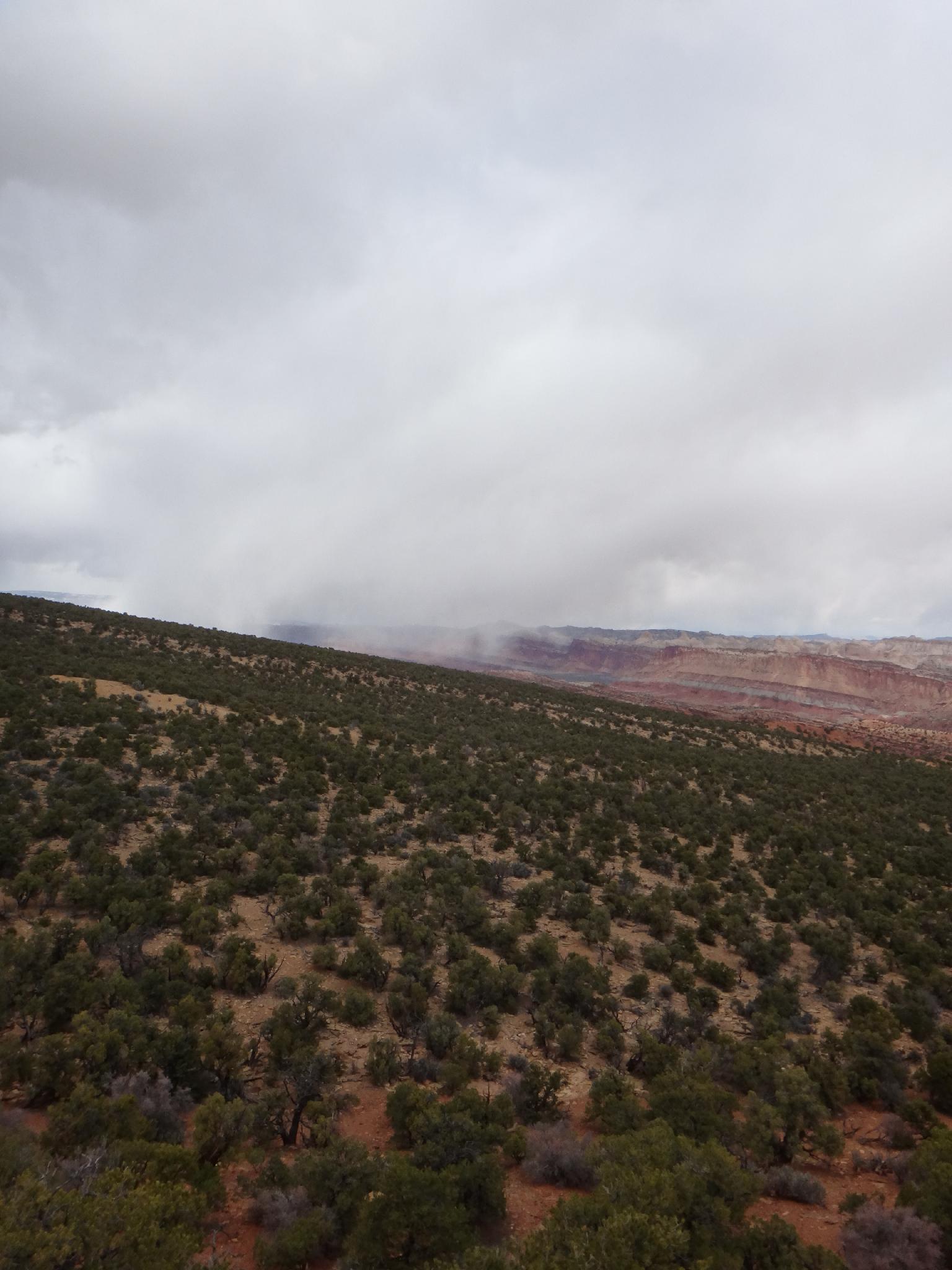
Snow Flurries to the north from the viewpoint
Route
The trail crosses the wash, and heads east up Miners Mountain. The path is easy, and follows a steady pace, reaching the loop junction in about 20-25 minutes (0.75 miles). The recommended loop is clockwise, so go left. The trail soon nears the edge of Capitol Wash, offering great views into the deep wash, then veers north and circles back east.
Not far after heading east, a short trail goes off to a viewpoint. (5 minutes round trip) From the viewpoint, it is 20 or so minutes back to the loop junction, then another 20 minutes back to the trailhead.
Photos
Maps

| Trailhead |
12S 481307mE 4229909mN N38° 13' 01" W111° 12' 49" |
| Loop Junction |
12S 480128mE 4229566mN N38° 12' 50" W111° 13' 37" |
| Viewpoint |
12S 479305mE 4229917mN N38° 13' 01" W111° 14' 11" |