
 Strike Valley Overlook
Burr Trail
Overview
|
Wed 78 | 44 |
Thu 76 | 46 |
Fri 77 | 49 |
Sat 74 | 49 |
Sun 77 | 49 |
| View Full Weather Details | ||||
|
Wed 78 | 44 |
Thu 76 | 46 |
Fri 77 | 49 |
Sat 74 | 49 |
Sun 77 | 49 |
| View Full Weather Details | ||||
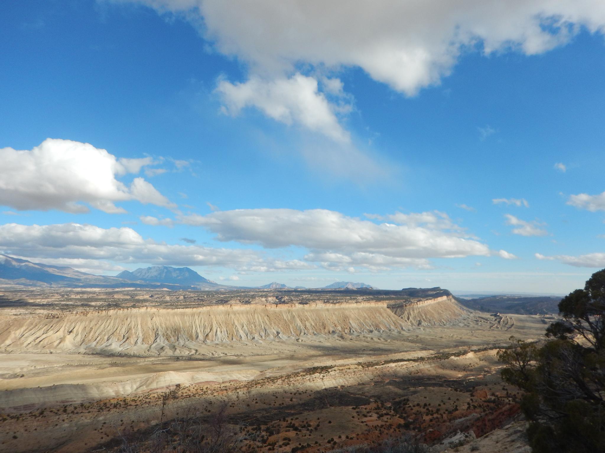
Strike Valley from the overlook.
There are two ways the visit the Strike Valley Overlook. The first, and recommended, is via 4x4 vehicle. With a 4x4, the hike is less than a mile and very casual. The second, less recommended, involves hiking the jeep road and makes for a pleasant enough 7-ish mile hike, but it mostly all along the jeep road.
Strike Valley, contrary to my first thought, is not named because of a mining boom that hike the valley. It is, instead, named for the geological feature where a valley runs parallel to the strike of underlying rocks in the region. From the overlook, you can easily see the almost 100-mile valley and cliffs on each side that make up the valley. (The Waterpocket Fold to the west, and the rugged cliffs to the east that make up the badlands.
With a 4x4 and more ambition, I would recommend the Upper Muley Twist hike over this hike (or in addition to). The Upper Muley Twist hike offers the same or better views of the Strike Valley as it makes a loop along the cliff edge of the Waterpocket Fold.
This description will assume the road is walked.
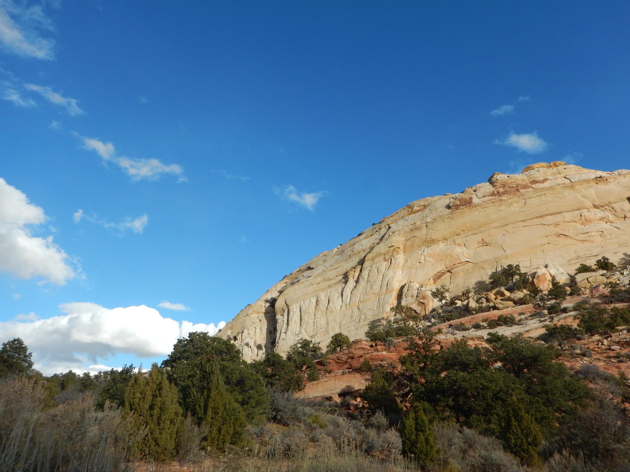
Big cliffs near the Overlook
Getting There
Via Notom
Travel east out of Capitol Reef National Park on Highway 24. Just past the park, 0.25 miles, is the well signed Notom road. Head south on the Notom road. Along the way, at 13.6 miles, is the Sandy Creek Junction. Stay right on the Notom road here. Near 21.2 miles is the Cedar Mesa Campground on the right (west) side of the road. This is a good campground, though has no water and is first-come-first-serve. At 32.6 is a junction and well signed Burr Trail.
Go right on the Burr Trail. It quickly climbs switchbacks behind the reef. Follow it for 3.1 miles to the signed Upper Muley Twist road on the right.
Via Boulder
If coming from Boulder, UT, turn onto the Burr Trail on the south side of town. Follow the Burr Trail road 32.8 miles to a junction with a lesser used side road to the Upper Muley Twist trailhead. If you reach the Lower Muley Twist trailhead or the road drops steeply down switchbacks, you have gone too far.
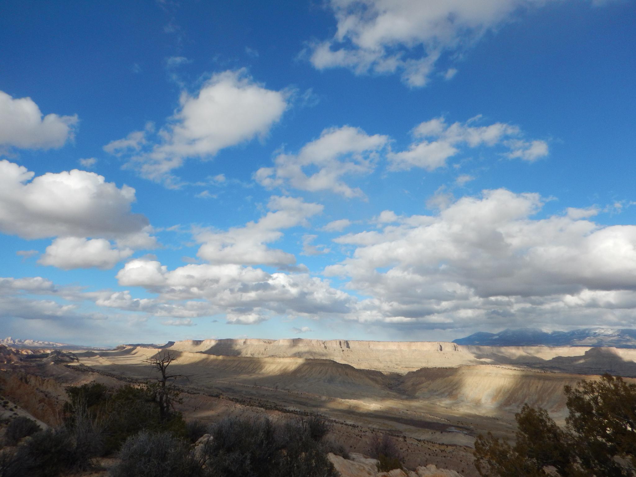
Clouds over the Strike Valley
Route
From the Burr Trail Road, follow the 2-track dirt road north. Immediately to the east on the skyline is Peek-a-boo rock, which has an arch near the top that is visible from certain angles. After about 10 minutes (0.4 miles) a small parking area and trail register are reached. If you are in a 2wd and have gotten this far, this is likely the best place to stop. From here the road descends steeply into the wash and begins following the wash upstream.
After 2.4 miles of wash walking, Double Arch is visible on the left.
Continue to the end of the road at 2.9 miles. There is a small parking area here, and the Strike Valley Overlook trail leaves the parking area heading due east.
From the 4x4 trailhead, the trail meanders east for 0.4 miles to the overlook proper and a large cairn. The views are excellent, with the Henry Mountains visible to the east and Lake Powell area visible to the south and southeast.
Return the same way.
Photos
Maps

| Trailhead (2wd) |
12S 496565mE 4190096mN N37° 51' 30" W111° 02' 21" |
| Trailhead (4wd) |
12S 495894mE 4192676mN N37° 52' 54" W111° 02' 48" |
| Overlook |
12S 496301mE 4192836mN N37° 52' 59" W111° 02' 31" |