 Roadside Attraction Mill Canyon Dinosaur Trail
Moab
Overview
|
Fri 77 | 49 |
Sat 76 | 50 |
Sun 79 | 50 |
Mon 82 | 54 |
Tue 82 | 52 |
| View Full Weather Details | ||||
|
Fri 77 | 49 |
Sat 76 | 50 |
Sun 79 | 50 |
Mon 82 | 54 |
Tue 82 | 52 |
| View Full Weather Details | ||||
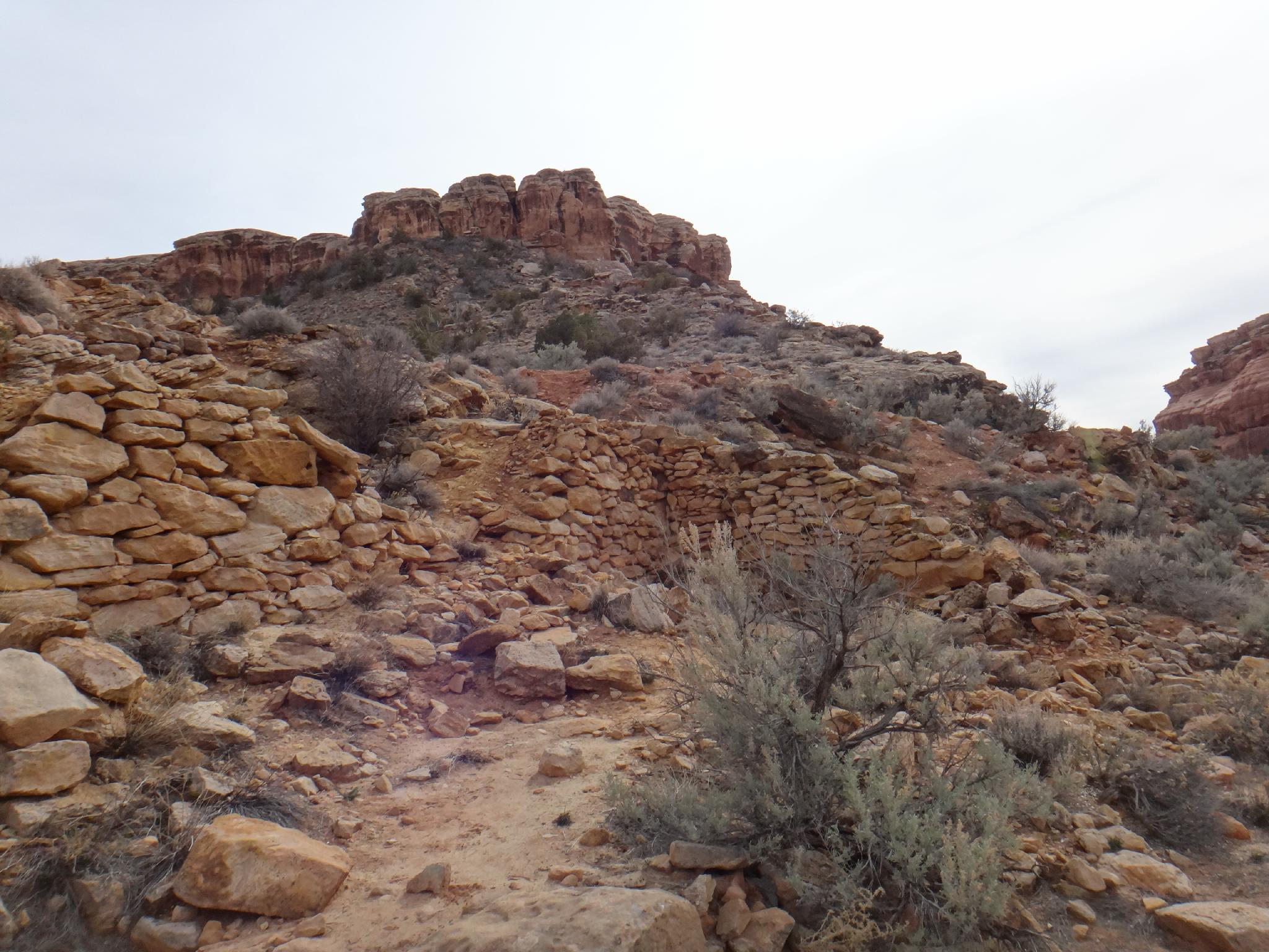
Stone Wall Remnants
An outdoor dinosaur museum near Moab? Yup, though don't expect large bones or tracks. The Mill Canyon Dinosaur Trail is a valley north west of Moab that is home to a large number of dinosaur fossils. The fossils date back 150 million years when the climate was tropical and supported the large animals. The remains of the pre-historic animals were fossilized in the Morrison Formation rock layer, which has become exposed over time.
This is a short roadside attraction that fossil lovers and children will likely enjoy. The fossils are generally small and blend in with the rock. Those not very interested in dinosaurs will probably be disappointed and want to skip this one. From the trailhead, a well signed trail follows a cliff band with 15 points of interest.
In addition, just up the hill from the dinosaur fossils, are the remnants of an old copper mill. Copper was mined in the area in the late 1800's, but due to geography, minimal quantities and fluctuation prices, copper mining never took off in the area and was soon abandoned. Not much remains of the mine, however following the old road up the hill to the actual mine site is worth the short side trip, and the colors and minerals in the rock around the mine are interesting.
This is a very short hike, suitable to most all.
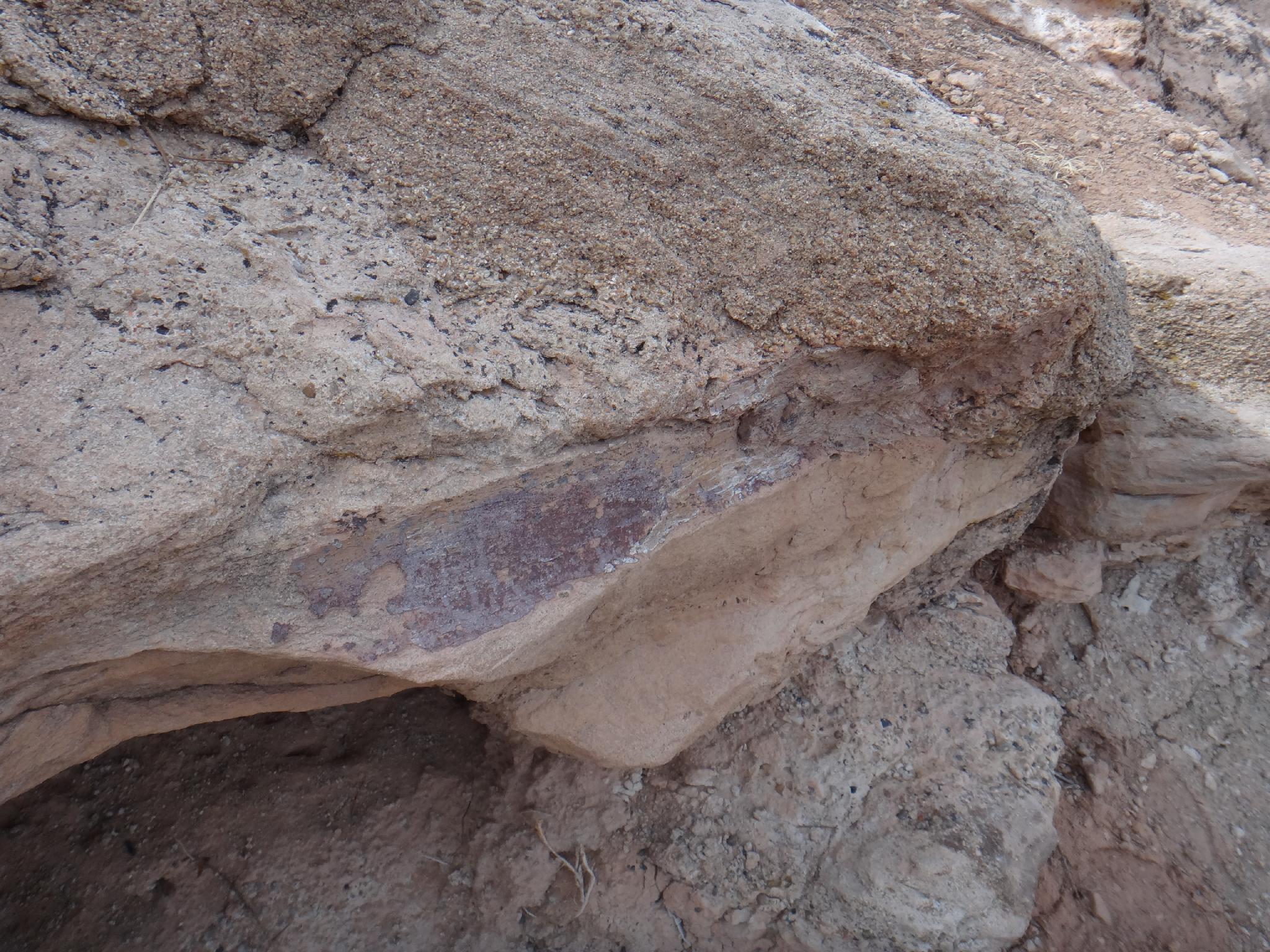
fossilized bone
Getting There
Travel north out of Moab about 17 miles on highway 191 to mile post 141.2 and the signed Mill Canyon road on the left (west) side of the road.
The first part of the road crosses private land. No stopping, or camping. At 0.6 miles, go left, past a large trailhead and decent camping. At 1.1 miles, turn right, and follow the road to its end at 1.9 miles. There are several good designated camp sites along this road, though primitive camping only.
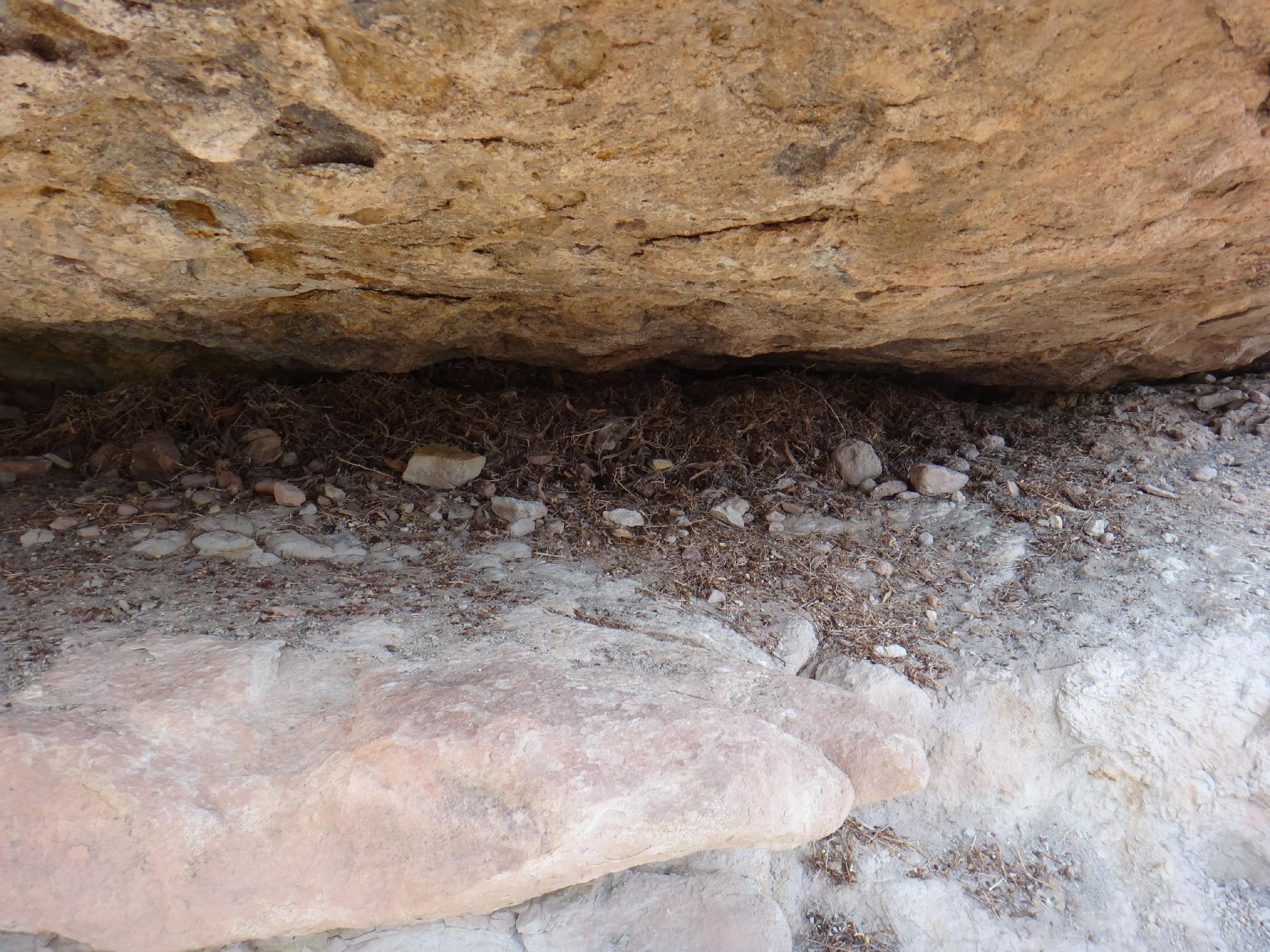
Packrat Nest
Route
From the trailhead, follow the use trail in a counter-clockwise manner. The different sites are marked and have interperative signs. Do not touch, climb on, or otherwise damage the fossils.
At the end of the cliff, the trail cuts back east and crosses the wash. The remnants of the copper mine are here, with the old road cut going up the hill to the mine site proper. 15-20 minutes round trip to the mine and back.
Photos
Maps

| Trailhead |
12S 609575mE 4285604mN N38° 42' 44" W109° 44' 23" |
| Remnant |
12S 609534mE 4285407mN N38° 42' 38" W109° 44' 25" |
| Mine |
12S 609673mE 4285309mN N38° 42' 35" W109° 44' 19" |