 Hiking Moki Mesa
Potash Road
Overview
|
Sat 80 | 50 |
Sun 83 | 49 |
Mon 85 | 54 |
Tue 85 | 52 |
Wed 84 | 54 |
| View Full Weather Details | ||||
SEASON: Any, hot in summer
WATER: None, bring all you need.
FLASHFLOOD: None.
|
Sat 80 | 50 |
Sun 83 | 49 |
Mon 85 | 54 |
Tue 85 | 52 |
Wed 84 | 54 |
| View Full Weather Details | ||||
Chippings
I'd always wondered about Moki Mesa. When driving by, there is a pullout and well used social trail, where did it go? A cloudy spring afternoon I finally had a few hours to check it out. Turns out to be a very unique hike. There are a few petroglyphs, but the real draw to this hike is the unique trail and astounding views. It only takes a couple of hours, and is recommended if your looking to get away from the crowds around Moab. The approach canyon is frequently traveled, but once on the mesa, there were very few signs of visitors.
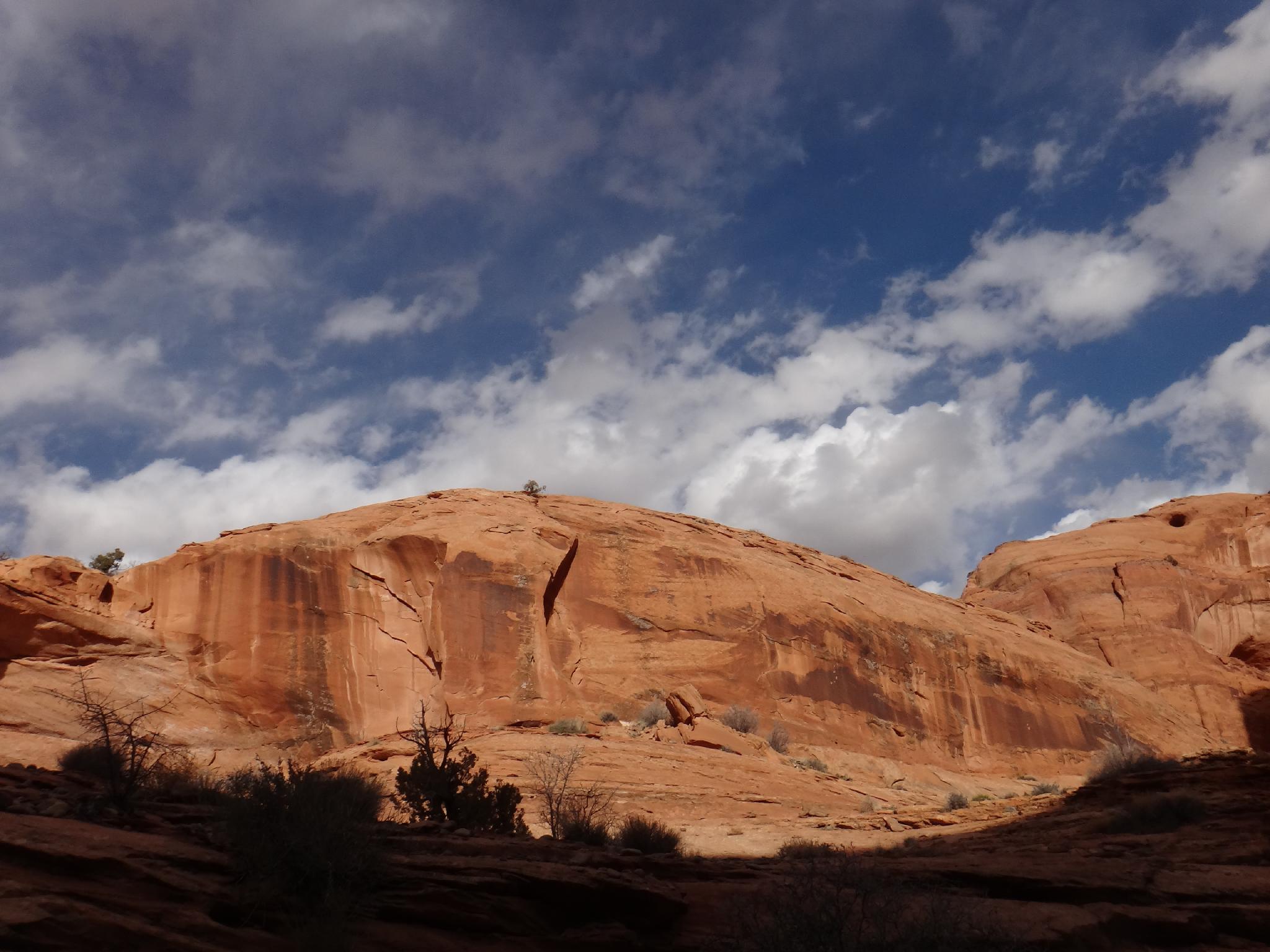
Nice views.
Getting There
To get to Potash Road, go north out of Moab on highway 191 to the Potash Road at milepost 129.8. Reset your odometer here. Follow the Potash Road for 5.9 miles. Moki Canyon/Mesa is on the right here at a fairly large pullout and no camping sign. If you reach the Corona Arch trail, you have gone too far.
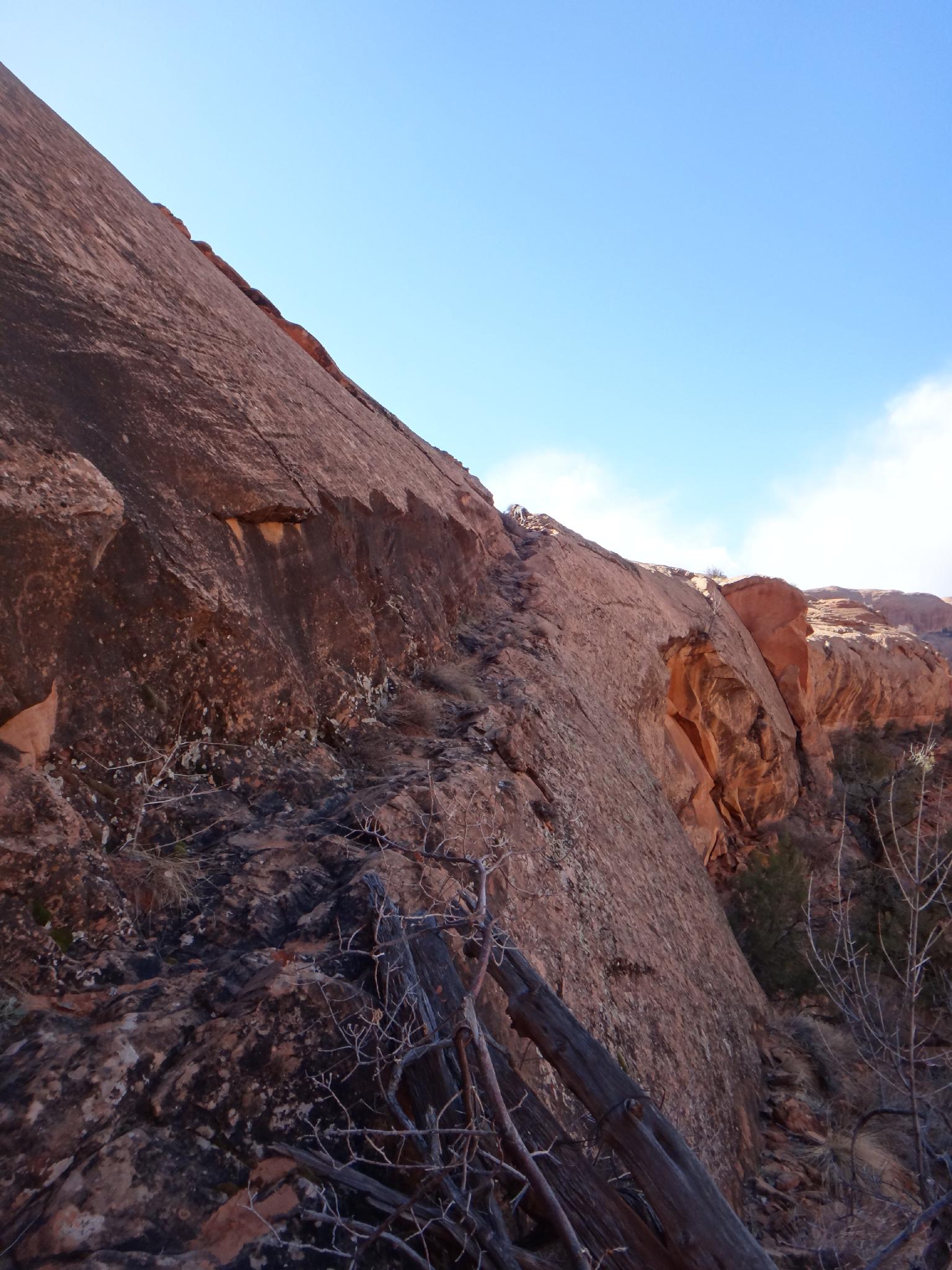
Cattle Trail up to the mesa
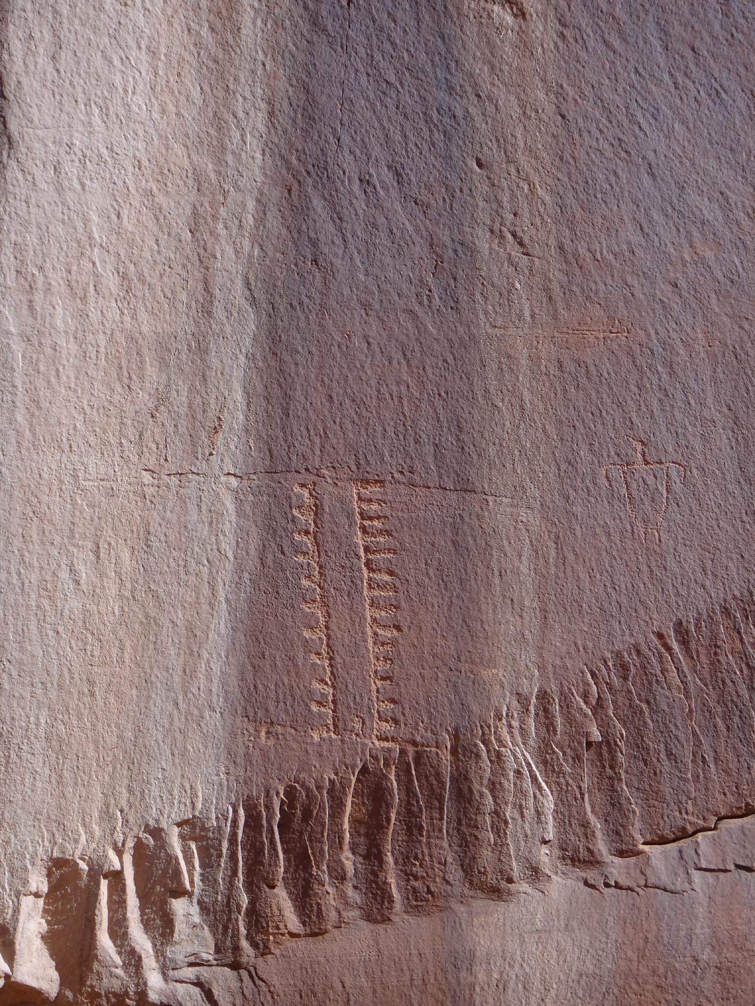
Panel on Moki Mesa
Route
Rock Art and Historic Site Etiquette
Rock art and historic sites are fragile, non-renewable cultural resources that, once damaged, can never be replaced. To ensure they are protected, please:
Rock art and historic sites are fragile, non-renewable cultural resources that, once damaged, can never be replaced. To ensure they are protected, please:
- Avoid Touching the Petroglyphs: Look and observe, BUT DO NOT TOUCH!
- Stay on the Trails: Stay on the most used trails when visiting sites, and don't create new trails or trample vegetation.
- Photography and Sketching is Allowed: Do not introduce any foreign substance to enhance the carved and pecked images for photographic or drawing purposes. Altering, defacing, or damaging the petroglyphs is against the law -- even if the damage is unintentional.
- Pets: Keep pets on a leash and clean up after them.
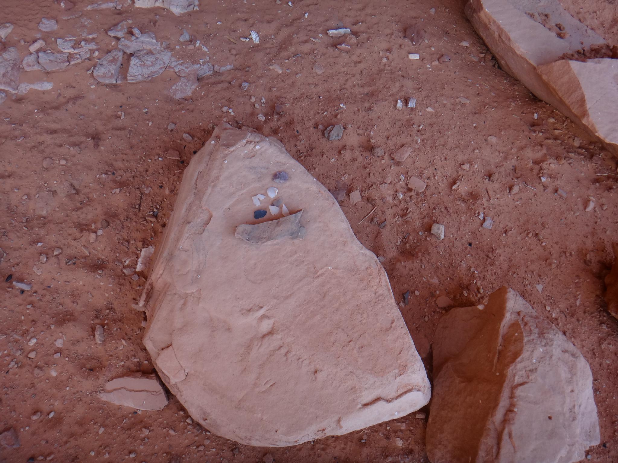
- Artifacts: If you happen to come across sherds (broken pottery) or lithics (flakes of stone tools), leave them where you see them. Once they are moved or removed, a piece of the past is forever lost.
From the trailhead, wander up Moki Canyon. It is a bit brushy at first, but not terrible. In about 15 or so minutes, as the large dryfall of the end of the canyon is in sight, a constructed cow trail goes off on the right. It is quite the sight, blasted at an angle up steep slickrock. The narrow trail must have been an experience for the cows moved up and down it.
Hike up the cow trail to Moki Mesa. Situated above the Potash Road, but below the rim above, it seems an isolated area. Follow the cliff band. There is a panel near a cave, then another more impressive cave just ahead with a panel near it as well. The area here is quite grassy in the spring and seems to hold water from the dryfalls above. This makes a good, short hike and turnaround.
More motivated? Continuing along the cliffband, a great overlook of the Potash road and Colorado river comes up in 30 minutes or so at the end of the mesa. If wander to this viewpoint, be mindful of cryptobiotic soil. Return the way you came.
Note: Just up canyon from the cattle trail is the end of Moki Canyon and am impressive dryfall. There is likely water here year around, and it makes a great hang out spot with lots of sand and water for dogs/kids to play in.
Photos
Maps
Route /
2.98 miles /
Elevation Range 3,961 - 4,370 ft.
Printable Maps:


| Trailhead |
12S 619204mE 4269600mN N38° 34' 01" W109° 37' 54" |
| Trail |
12S 619716mE 4269460mN N38° 33' 56" W109° 37' 33" |
| Art |
12S 619636mE 4269256mN N38° 33' 49" W109° 37' 37" |
| Art |
12S 619620mE 4269117mN N38° 33' 45" W109° 37' 37" |
| Cave |
12S 619612mE 4269046mN N38° 33' 43" W109° 37' 38" |
| Dryfall |
12S 619890mE 4269401mN N38° 33' 54" W109° 37' 26" |