 Hiking Mount Waas
Grand County Highpoint
Overview
|
Fri 44 | 32 |
Sat 43 | 31 |
Sun 45 | 29 |
Mon 46 | 33 |
Tue 49 | 33 |
| View Full Weather Details | ||||
SEASON: Summer, Fall
GEAR: Standard Hiking Gear
WATER: None.
NOTES: Reaching the trailhead requires a high clearance vehicle, 4x4 strongly recommended. On the Moab jeep road scale of 1-10 (1 being easiest), this road rates a 2. There are several steep and very rocky sections. This could be walked if needed, but will add 2-3 hours to the day (adding about 6 miles round trip, and a fair bit of elevation).
|
Fri 44 | 32 |
Sat 43 | 31 |
Sun 45 | 29 |
Mon 46 | 33 |
Tue 49 | 33 |
| View Full Weather Details | ||||
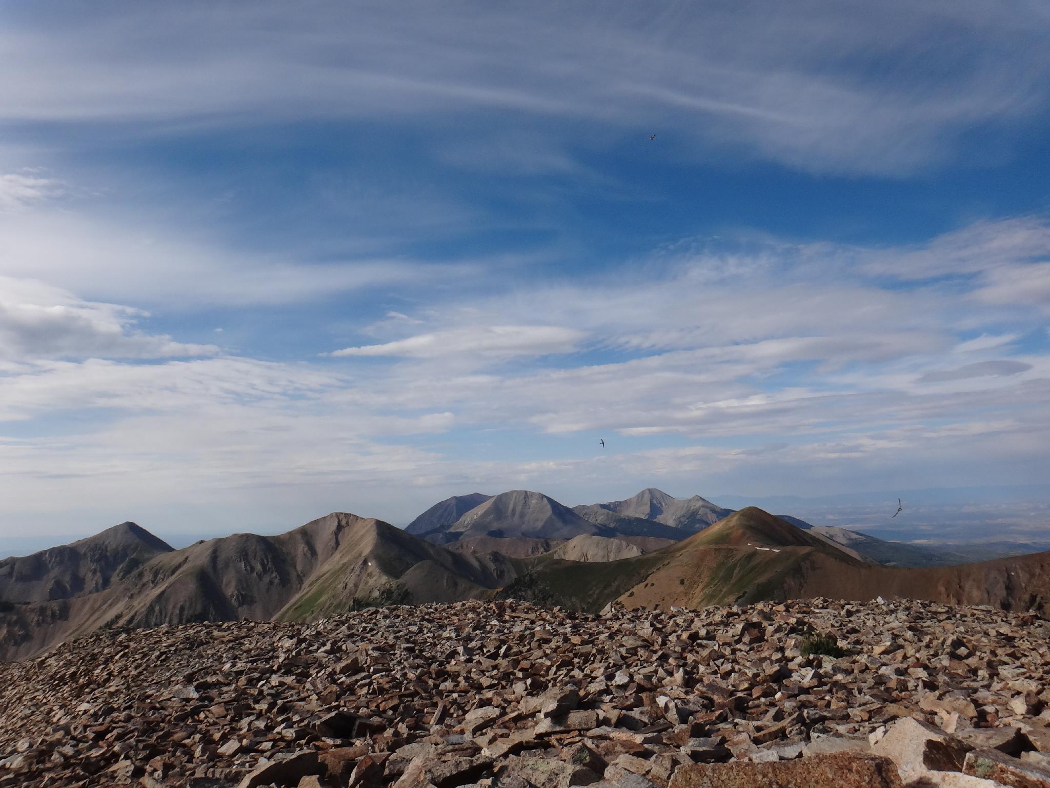
Peale off in the distance from Waas
Between Peale and Waas, the two county high points in the La Sal mountains, Waas is by far my favorite. Good camping at the trailhead, an old mining road that meanders up the majority of the hike to over 12,000', and stunning views make this a winner. The biggest downside to the hike is the approach road that is slow going and a bit difficult.
Miners Basin, where the trailhead is located, has an interesting history. In 1888, copper was discovered in the basin, and in 1898 a mining town was setup. A relatively small number of residents (75-80) called the basin home in the summers until 1908. Copper was simply not profitable enough to keep the town (and mining) in the area going, and the town abandoned. The amount of work that went into carving roads, ferrying supplies, and building a town in such a remote location is astounding.
Note: Some of the basin is private property. A map at the trailhead shows these boundaries.
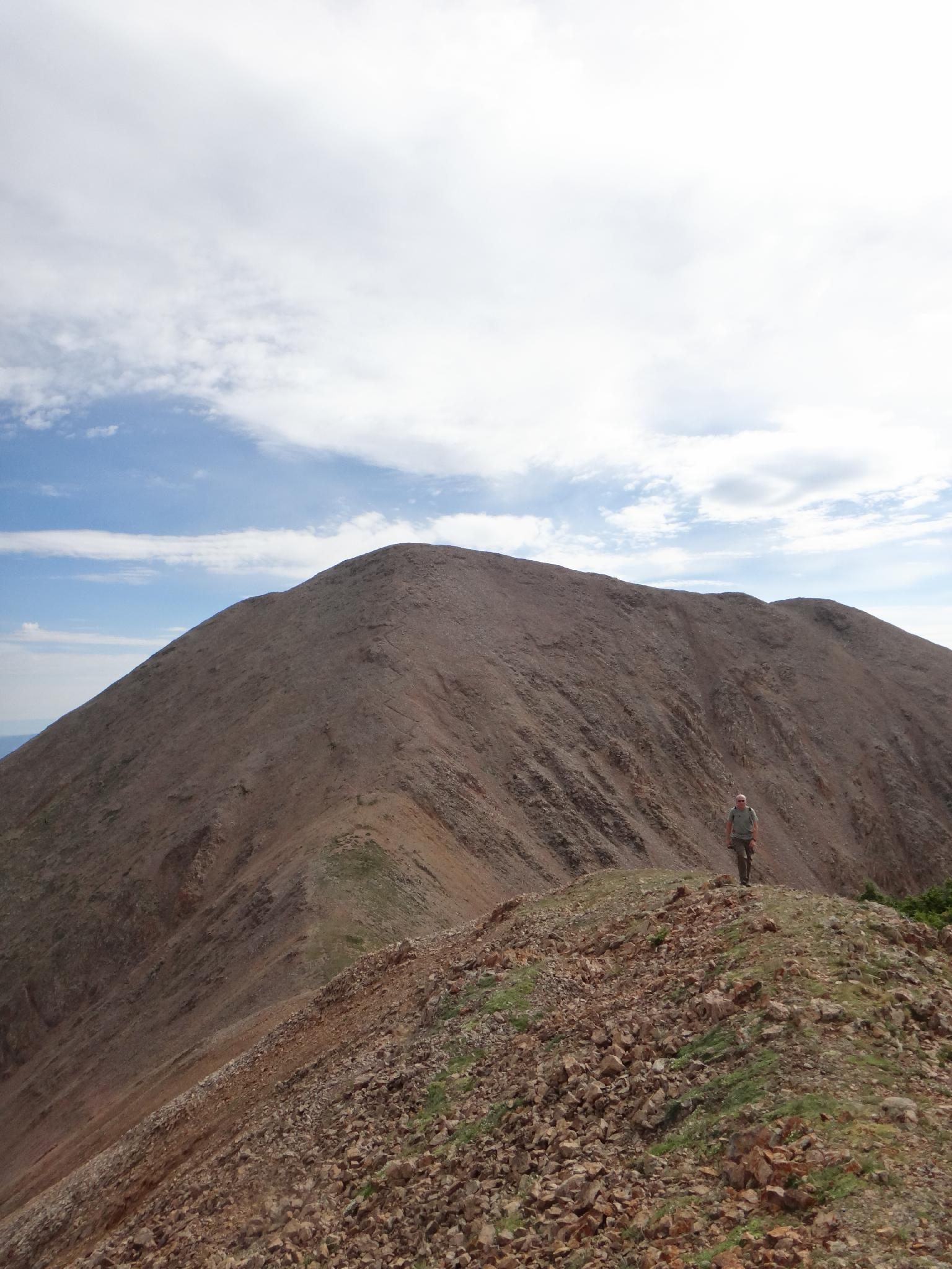
Mount Waas on the way back
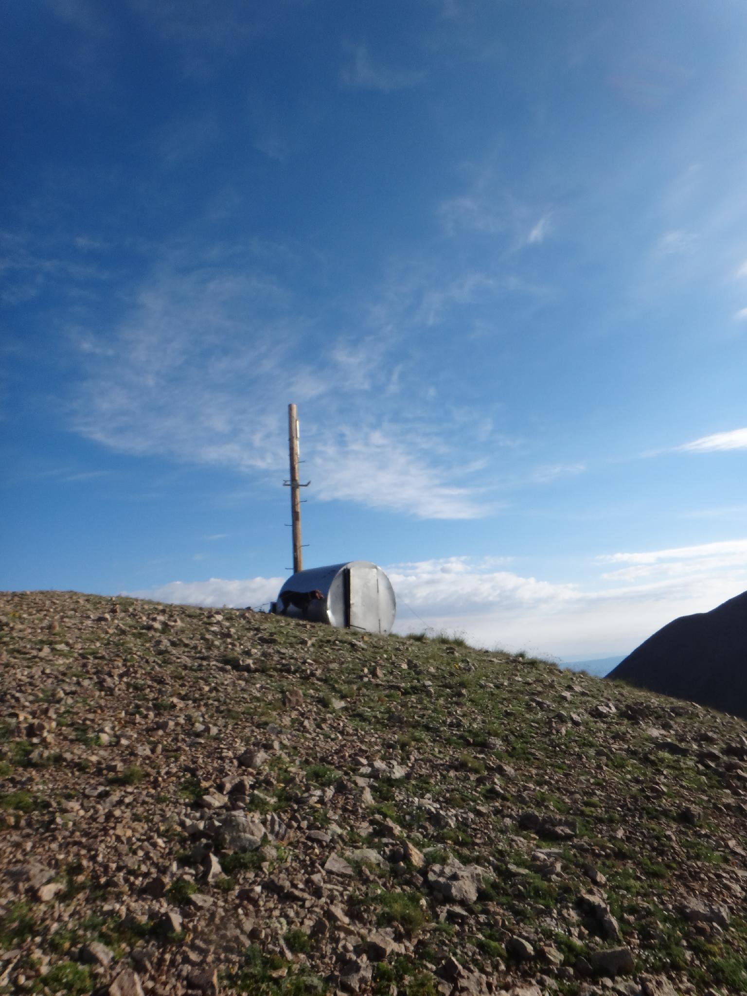
Old weather station.
Getting There
From Moab, go NORTH out of town on US-191. Just outside of town, turn right on UT-128E just before crossing the Colorado River.
Follow UT-128E for 15.5 miles to a turn on the right signed La Sal Loop road or Castle Valley. 10.7 miles from UT-128E is a junction, go right to stay on the Loop Road. At 15.4 miles from UT-128, the Miners Basin is signed and goes off on the south (left) side of the road.
Follow the jeep road to its end in 3.1 miles, keeping your fingers crossed you don't encounter anybody coming down in the narrow sections. There is a parking area and pit toilet at the trailhead, as well as good camping near a small pond. Beware of bears, there had been sightings in the area when we visited.
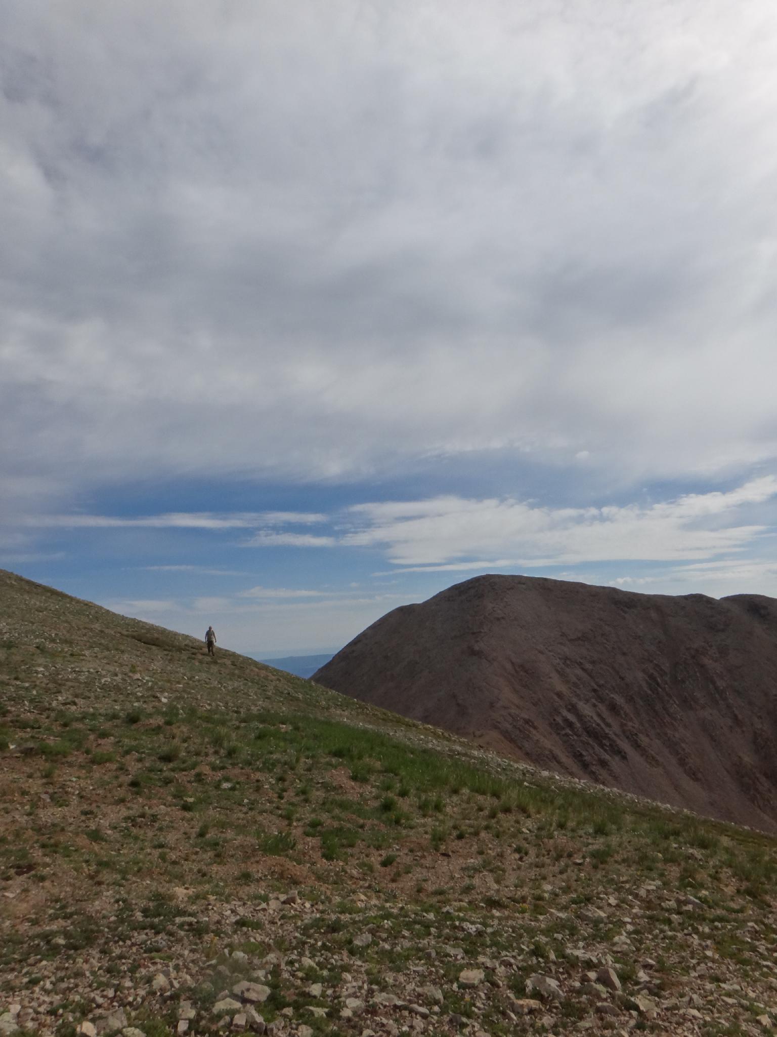
Waas in the distance.
Route
Summit: 3758 m ( 12330 ft. )
Trailhead: 2958 m ( 9705 ft. )
From the east side of the parking area, follow the trail and is meanders south, joins an old mining road and crosses a stream. Continue on the road (Trans La Sal Trail / Miners Basin Trail #040). After a short 20-30 minutes, the road begins making a hard right (west) around a gully. An old mining road takes off just before this curve. Follow it, going left at the first minor junction.
The old mining road climbs steadily before a switchback. Stay right at the second switchback. The old mining road is visible ahead as it switchbacks up to the ridge. Follow it, ignoring the lesser used side roads. Once at the ridge, go left (north) to the summit of unnamed 12,183 and an old weather station.
From the summit of 12,181, the route descends to the saddle, loosing about 300 feet in elevation before many switchbacks lead up the steep, rocky ridge of Waas re-gaining the 300' and an additional 300' of elevation to the summit.
From the summit of Waas, Mt. Peale is just visible to the south west. To the north is Castle Valley, with the prominent skinny tower being Castleton Tower. Return the same way.
Photos
Maps
Route /
7.77 miles /
Elevation Range 9,697 - 12,339 ft.
Printable Maps:


| Trailhead |
12S 651654mE 4267038mN N38° 32' 20" W109° 15' 36" |
| Junction |
12S 652269mE 4266220mN N38° 31' 53" W109° 15' 11" |
| Summit |
12S 654447mE 4267119mN N38° 32' 21" W109° 13' 40" |