 Hiking Frary Peak
Antelope Island
Overview
|
Sat 64 | 42 |
Sun 69 | 48 |
Mon 62 | 46 |
Tue 68 | 45 |
Wed 72 | 51 |
| View Full Weather Details | ||||
|
Sat 64 | 42 |
Sun 69 | 48 |
Mon 62 | 46 |
Tue 68 | 45 |
Wed 72 | 51 |
| View Full Weather Details | ||||
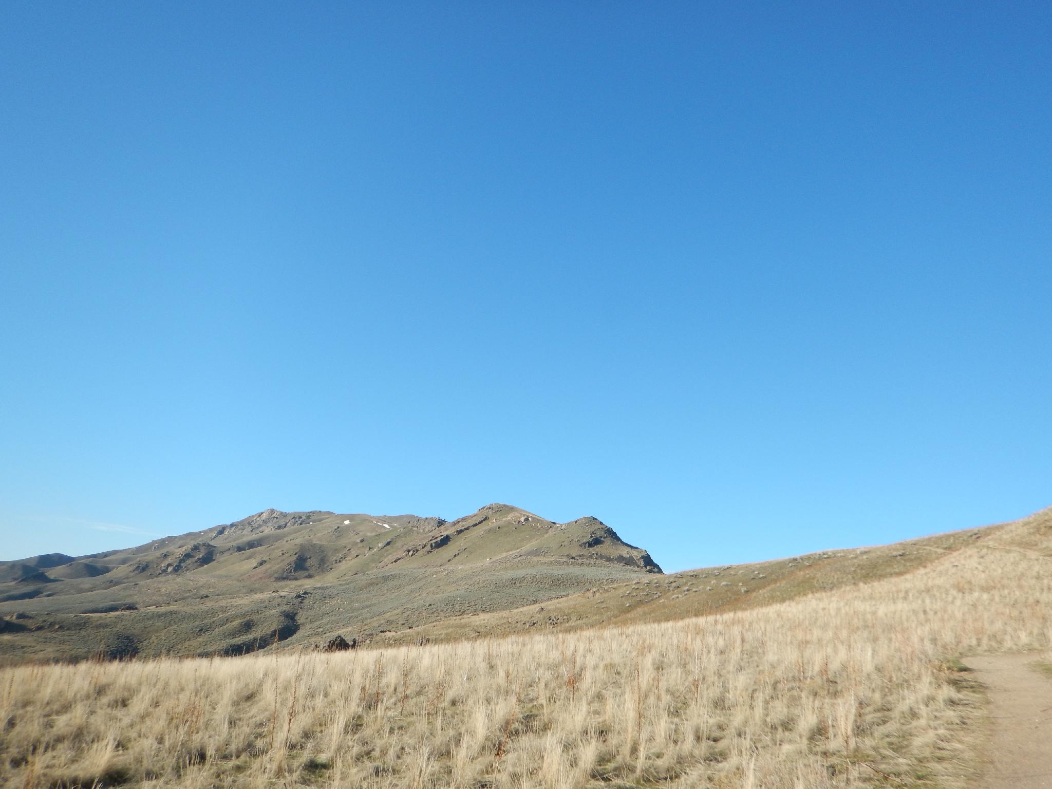
Just getting started. The peak is the highpoint on the left of the picture.
Antelope Island is the largest island in the Great Salt Lake, and home to Frary Peak, the highest peak on the island. The hike is about 3.5 miles one way with just over 2000' of elevation gain. Long enough and steep enough to require a bit of fitness, but accessible to most. The trail along the ridgeline and summit offer excellent views of the Wasatch Front to the east and the West Desert to the west. On a good weather weekend, the trail is very popular.
The island is most famously known for its buffalo herds that wander most of the island. Bison were introduced to the island in 1893 and thrive on the dry grasses that cover the island. It goes without saying, or should go without saying, but bison are wild and powerful creates. You are likely to see them on the island, and possibly along the trail. If you do, give them plenty of space and don't try to approach them! You are also likely to see antelope, bighorn sheep, and even coyotes along the way. Give all creatures that call the island home plenty of space.
Early spring and late fall would be my recommended times to visit. Summer will be brutally hot. Spring and early fall can sometimes be buggy. Winter is a great time to visit as well, but only if there isn't snow on the ground. With snow, the trail would be slippery and no fun.
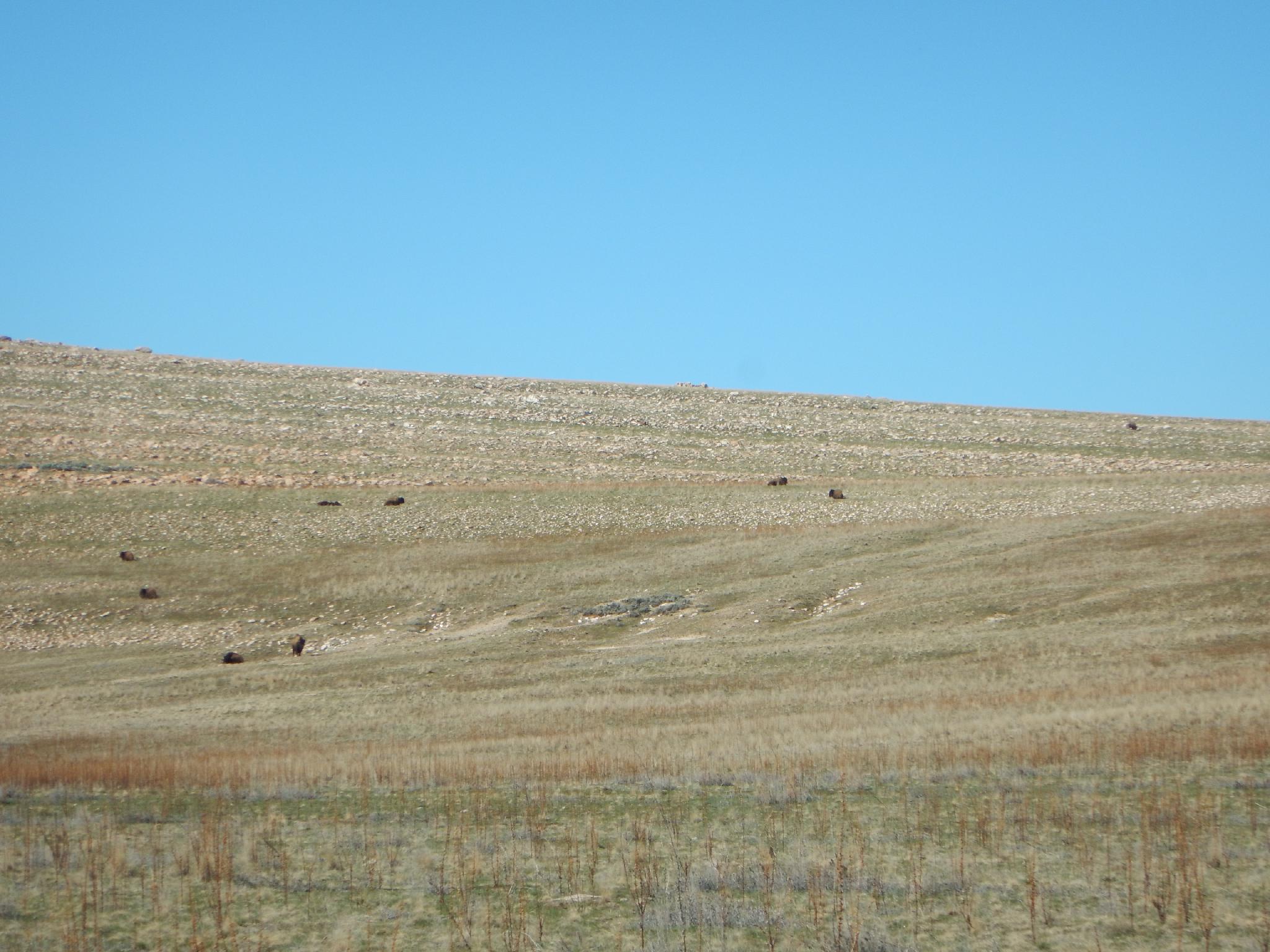
Buffalo hanging out on the slopes not far from the trailhead. Keep your distance!
Getting There
The trailhead is reach by first getting to Antelope Island. This is off I-15, west of Layton. Take exit 332 off I-15, and head west on Antelope Drive. About 7 miles from the freeway is the entrance to the park.
From the entrance to the park, cross the causeway and go left at the first junction after the causeway. Shortly after take the next left, staying on Antelope Road that is signed for Frary Peak. Follow this paved road about 5 miles to the signed Frary Peak road on the right. Drive about 0.5 miles up the steep paved side road to the Frary Peak Trailhead parking area.
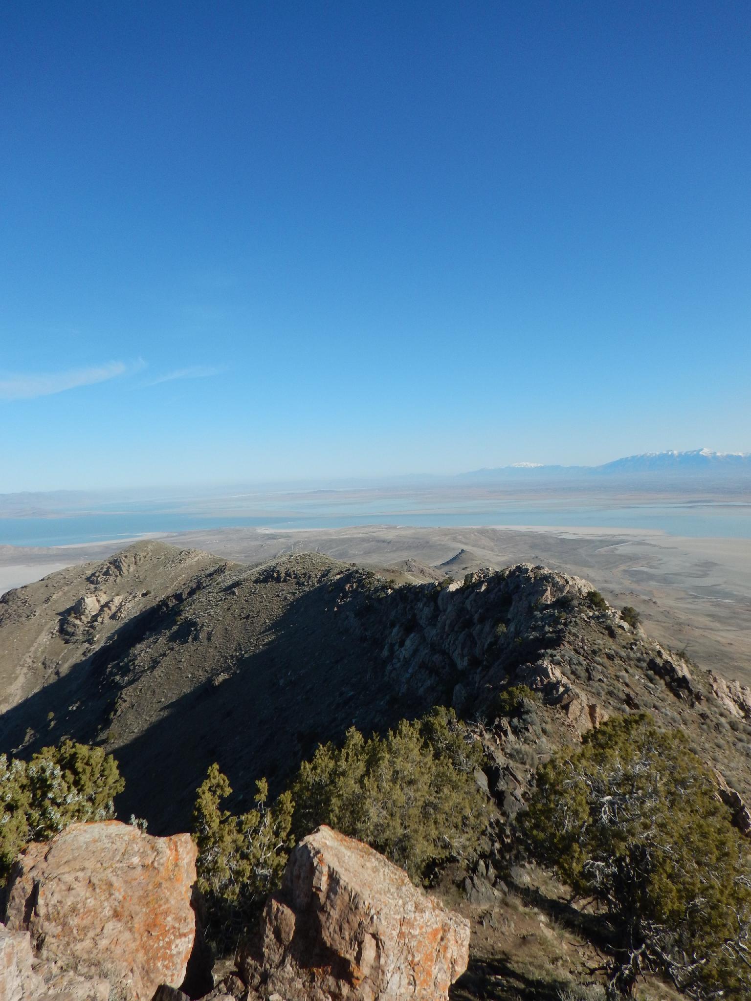
Frary Peak Ridge
Looking from the peak north on the ridge return.
Route
From the trailhead, begin ascending immediately as the trail switchbacks up for 0.55 miles to a junction on the first ridge. This is the Frary Peak / Dooly Knob Junction. Go left toward Frary Peak for a bit of a flat respite before the trail meanders under a couple of boulders and begins climbing steeply to the next ridge. At the top of the next ridge, bigs views of the area come into focus.
The knob is named after John Dooly Senior. John Dooly bought the island in 1884 to raise cattle and sheep. His family owned parts of the island up until 1981 when the land was bought by the State of Utah.
From the second ridge, the trail continues to climb with intermittent steeper sections to a summit with an antenna and solar panel. It is 3 miles from the trailhead to the antenna.
There are a couple of options from the antenna to reach the summit of Frary Peak. Shortly after leaving the antenna, the trail reaches a junction. Right is the recommended route for most people, and the new trail put in recently (2015). This trail loses a bit of elevation, traverses to the southwest ridge of Frary Peak, then climbs switchbacks to the summit. For the more adventurous, it is possible to scramble the ridge directly from the antenna to the summit. Scrambling the ridge isn't terribly hard, but does have a few exposed moves in spots. If inexperienced, or not comfortable with exposure, stick with the new trail.
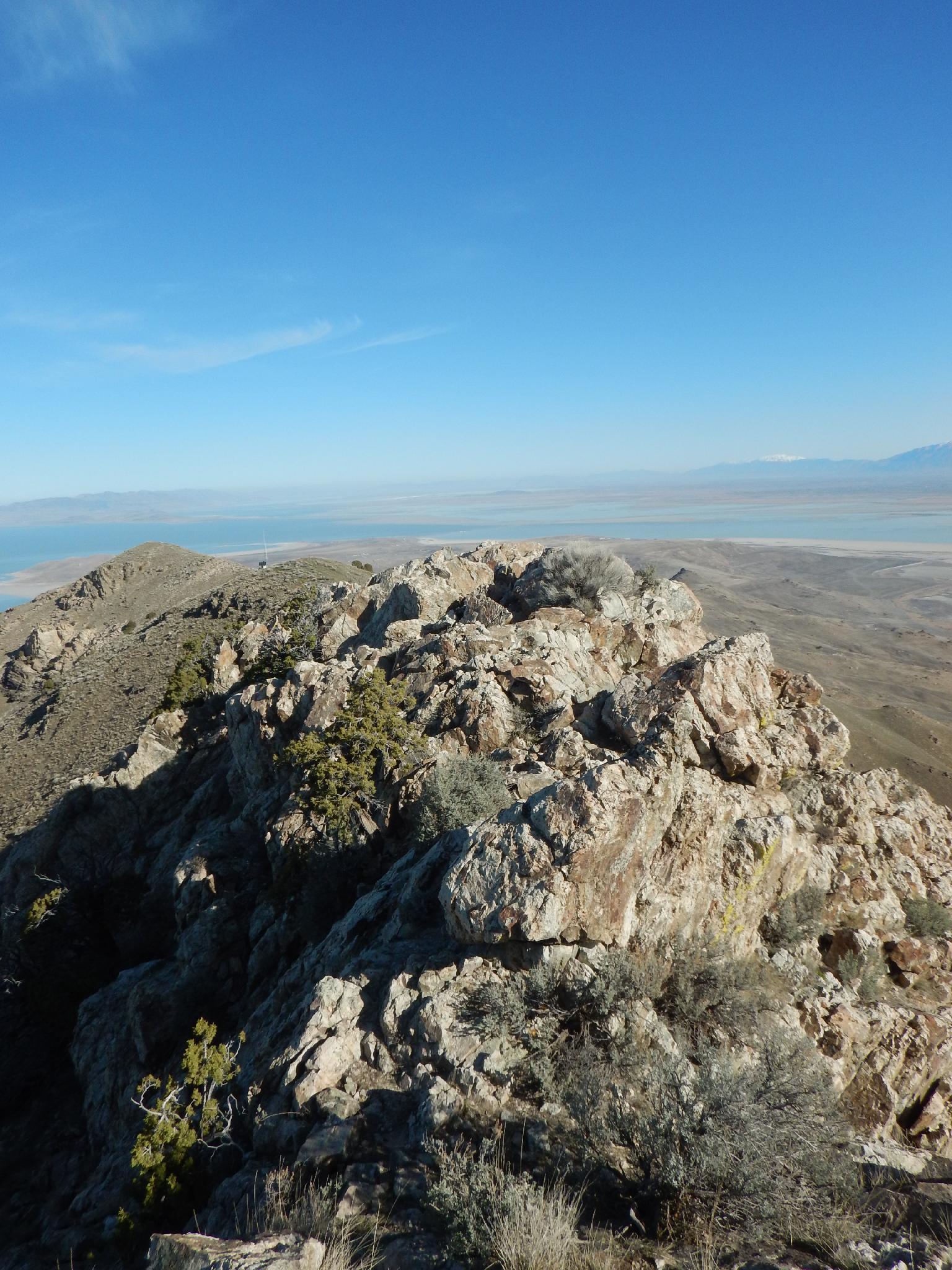
Views from the summit:
- East is the Wasatch Front, including Salt Lake City, Ogden, and foothills and mountains east of them.
- To the north is the raft river mountains in the distance.
- To the west is Stansbury Island and the West Desert beyond.
- To the southwest are the Stansbury Mountains with Deseret Peak being the high point of the range.
- To the south are the Oquirrh Mountains that make up the west side of the Salt Lake Valley.
Return the same way.
Photos
Maps

| Trailhead |
12T 398838mE 4538770mN N40° 59' 38" W112° 12' 10" |
| Junction |
12T 398135mE 4538304mN N40° 59' 22" W112° 12' 40" |
| Dooly Knob |
12T 398207mE 4538886mN N40° 59' 41" W112° 12' 37" |
| Antenna |
12T 397628mE 4535777mN N40° 58' 00" W112° 12' 60" |
| Frary Summit |
12T 397666mE 4535250mN N40° 57' 43" W112° 12' 58" |