 Hiking Pipeline Salt Lake Overlook
Millcreek Canyon
Overview
|
Sat 66 | 43 |
Sun 72 | 48 |
Mon 65 | 45 |
Tue 72 | 45 |
Wed 73 | 51 |
| View Full Weather Details | ||||
|
Sat 66 | 43 |
Sun 72 | 48 |
Mon 65 | 45 |
Tue 72 | 45 |
Wed 73 | 51 |
| View Full Weather Details | ||||
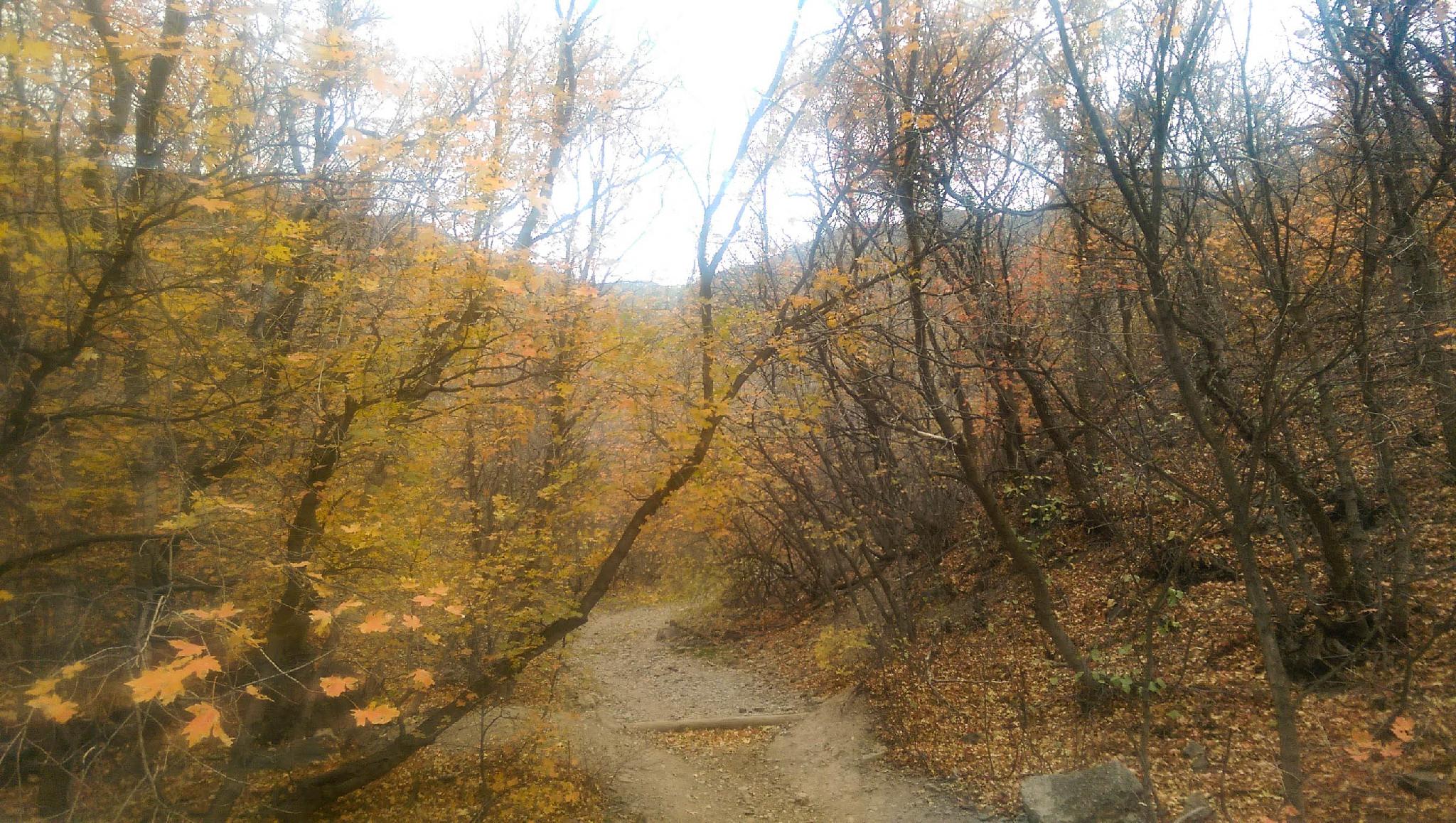
Fall colors along the trail.
The hike along the Pipeline Trail to the Salt Lake City overlook is a popular route enjoyed by bicyclists, runners, dog owners, and hikers. It starts with a steep slog up Rattlesnake Gulch, followed by a pleasant stroll along the Pipeline to the overlook. The hike is a pleasant morning or fall hike and may be a bit hot in summer afternoons

Textured sky along the Overlook Trail
Getting There
Millcreek Canyon is on the east side of the Salt Lake Valley, just south of I-80 and Parleys Canyon. To get there, take I-215 South from I-80 and take exit 4 off of I-215 and go left (east) on 3900 South.
Turn left on Wasatch Blvd just after crossing under the highway, then the next right on Millcreek Canyon Road.
0.7 miles from the junction of Wasatch Blvd and Millcreek Canyon Road is the entrance to Millcreek Canyon and the pay booth.
Mileage below is from the pay booth.
0.7 miles - Pipeline Trailhead on the left (north). This is the trailhead.
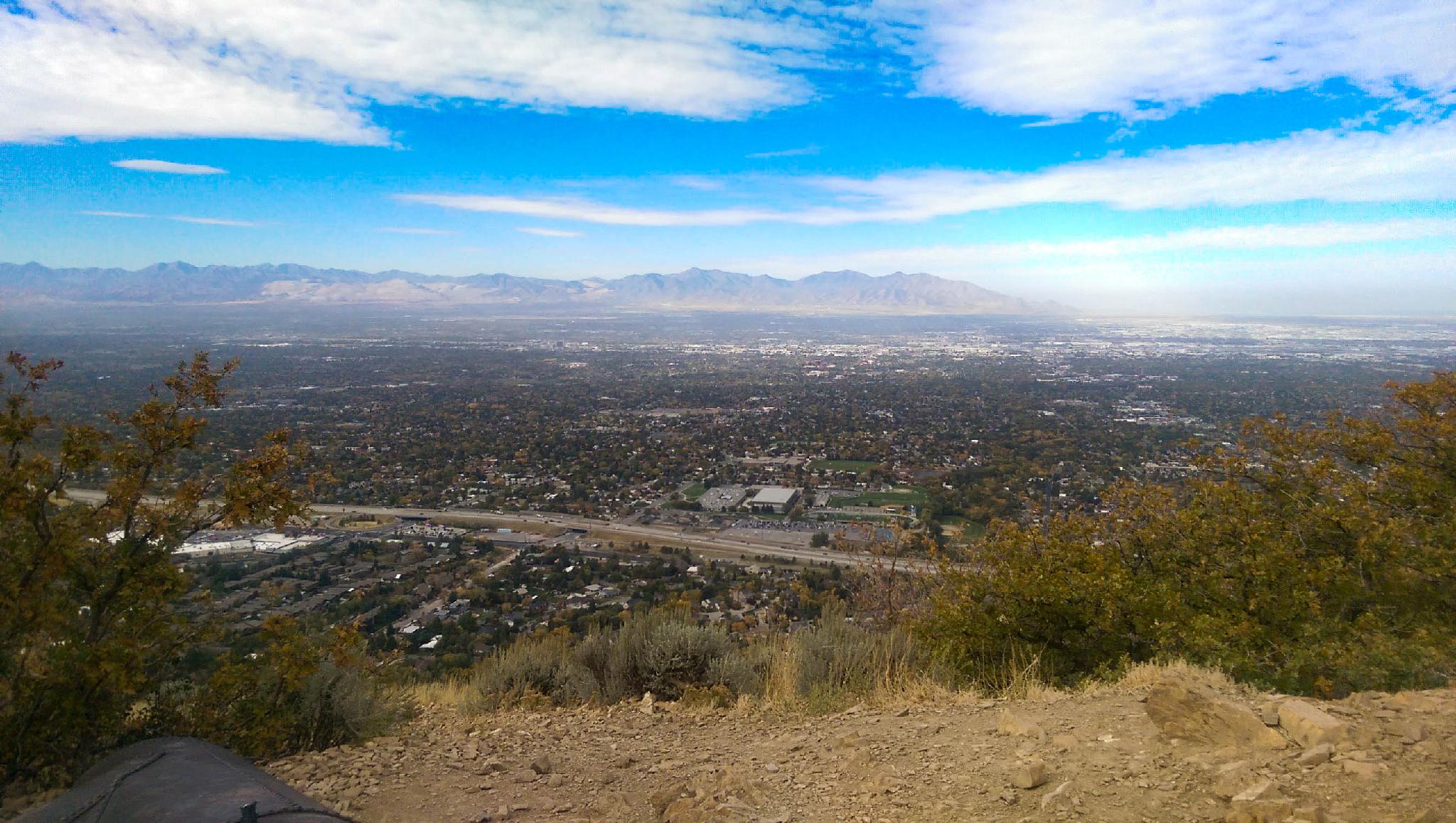
View of the valley from the overlook.
Route
From the parking area, head up the Rattlesnake Gulch Trail, which gains about 600 feet in elevation over about 0.8 miles. The trail is wide and easy to follow, though a false trail does lead off to the right by a large rock (there is a sign pointing the way along the correct trail). The trail ends at the Pipeline Trail, which heads off to the right (east) to Church Fork and the trailhead to Grandeur and to the left (west) to the overlook.
Head to the west. The trail will now be a bitter narrower and almost perfectly flat. Enjoy the easy walking and the views up and down the canyon. The Overlook is a nice place to stop for a few minutes to look out over Salt Lake City, the Oquirrh Mountains, and Great Salt Lake. Return the same way.
Photos
Maps

| Trailhead |
12T 435024mE 4504792mN N40° 41' 29" W111° 46' 08" |
| Pipeline Trail |
12T 435085mE 4505574mN N40° 41' 55" W111° 46' 06" |
| Overlook |
12T 433915mE 4505036mN N40° 41' 37" W111° 46' 56" |