 Hiking South Fork of Taylor Creek
Kolob Canyon Area
Overview
|
Sat 71 | 44 |
Sun 74 | 48 |
Mon 73 | 49 |
Tue 72 | 49 |
Wed 68 | 46 |
| View Full Weather Details | ||||
|
Sat 71 | 44 |
Sun 74 | 48 |
Mon 73 | 49 |
Tue 72 | 49 |
Wed 68 | 46 |
| View Full Weather Details | ||||
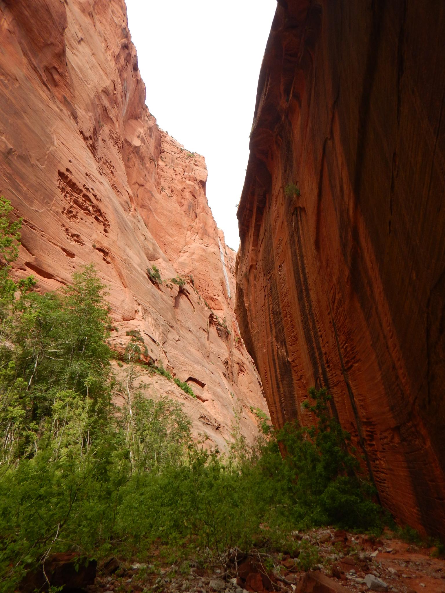
Near the end of the South Fork of Taylor Creek
Evening light near the end of SF Taylor Creek
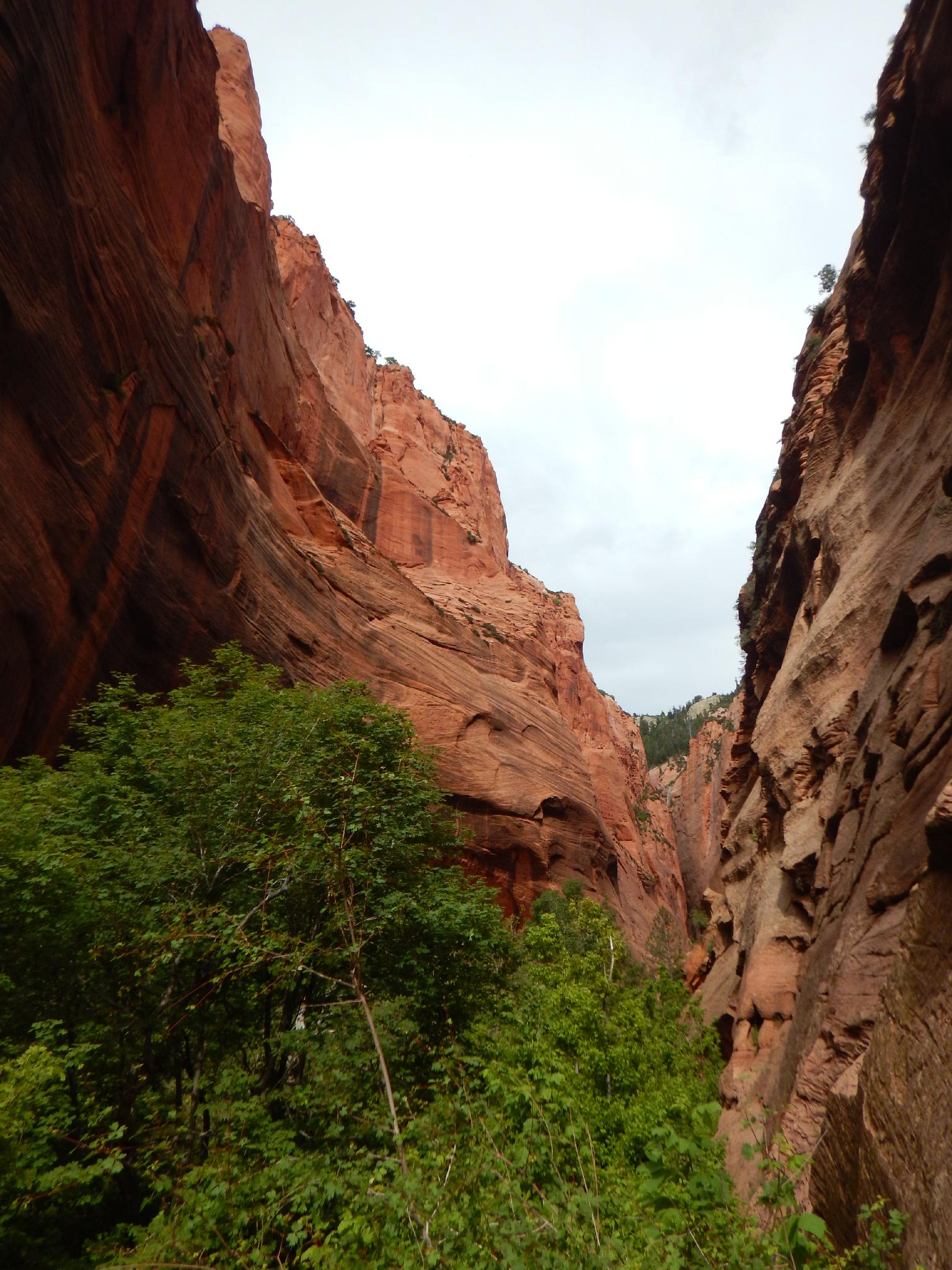
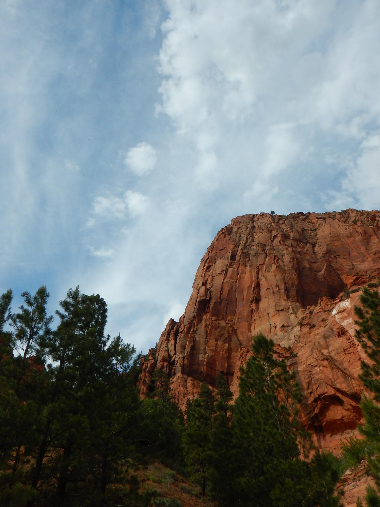
Though not an official hiking trail, this is one that sees a lot of traffic and for good reason. A short jaunt from the parking area lands the intrepid hiker in what feels like the deep Zion backcountry. Towering walls and vibrant colors make this a charming hike that is suitable for most. The colors come out, in particular, during the evening sunset when the walls pop with color and texture. A highly recommended short hike if your in this are of Zion National Park.
varnished and heuco riddled walls

View from the trail.
Getting There
This canyon is in the Kolob Canyons area of Zion National Park, which is just off of exit 40 on I-15. This is about 20 miles south of Cedar City Utah. If coming from the main part of the park, go west on highway 9 about 17 miles to the town of La Verkin, then go north on UT-17 about 5 miles to I-15. Follow I-15 north for 12 miles to exit 40.
From the visitor center just off the highway, go into the park on the scenic drive for 3.2 miles to where the road makes a bend to the right. A parking area right before the bed, or on the shoulder of the outside of the bend marks the trailhead.
Route
From the trailhead, the trail leaves on the outside of the bend, and quickly splits. Go right, descending into the South Fork of Taylor Creek. Likely a sign here indicates the "Not An Official Trail" status of this lovely social trail.
Follow the trail up canyon. It braids, coalesces, and braids again many times into a mess of social trails as it heads up. Stay on the most used trail along the way, they all generally end up in the same place. After 20 or 30 minutes, the trail climbs a slope blocking the canyon and on to what appears to be a flood plain. The lower elevation brush gives way to taller conifers and a flat sandy bottomed canyon with tower walls. Stunning!
Turn around anywhere in here, or continue another 15-20 minutes to the head of the canyon that is blocked by a large falls. Just before the falls, on the right (looking up canyon, south), is a stunning solution pocketed and varnished stained wall. This is a popular destination for rock climbers, and is home to several stunning (and STEEP) climbs.
Return the same way.
Photos
Maps

| Trailhead |
12S 306777mE 4147605mN N37° 27' 19" W113° 11' 04" |