
 Dairy Canyon
Sevier Valley
Overview
|
Mon 68 | 39 |
Tue 66 | 37 |
Wed 58 | 43 |
Thu 56 | 30 |
Fri 67 | 36 |
| View Full Weather Details | ||||
|
Mon 68 | 39 |
Tue 66 | 37 |
Wed 58 | 43 |
Thu 56 | 30 |
Fri 67 | 36 |
| View Full Weather Details | ||||
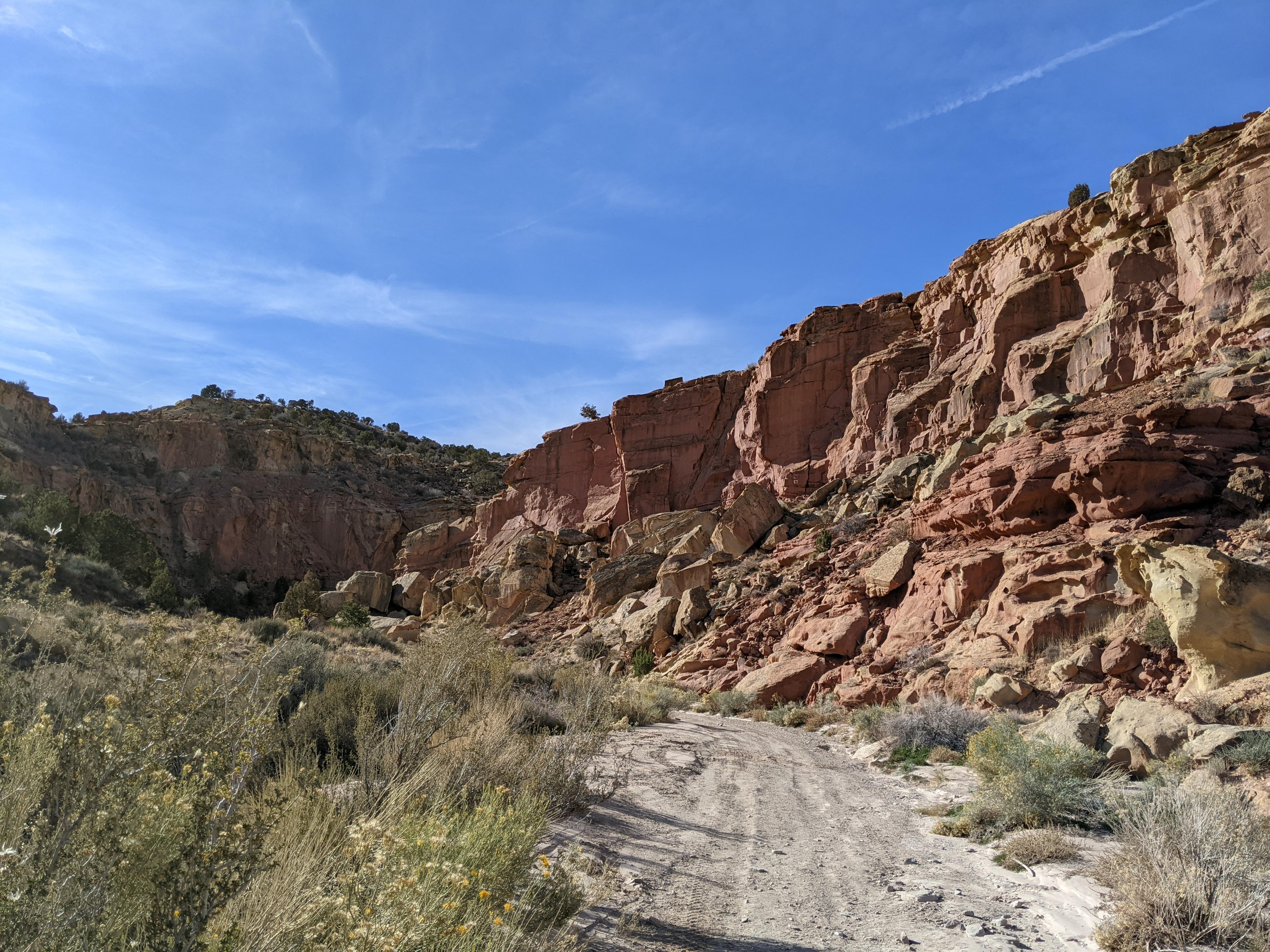
The start of the Dairy Canyon hike.
Dairy Canyon is not a destination canyon, but if you are in the area it makes for a great family friendly outing.
The canyon can be hiked up from the bottom by all in a short hour or so as an out and back to an impassable dry fall. Though short, it visits a lovely section of canyon and is easily accessible from Richfield. Technical canyoneers can follow the rim of the canyon and descend through a short narrows, rappel the dryfall, and amble back to the car in likely an hour or less. The short approach, straightforward rappel, and ease of the canyon make it well suited to beginners.
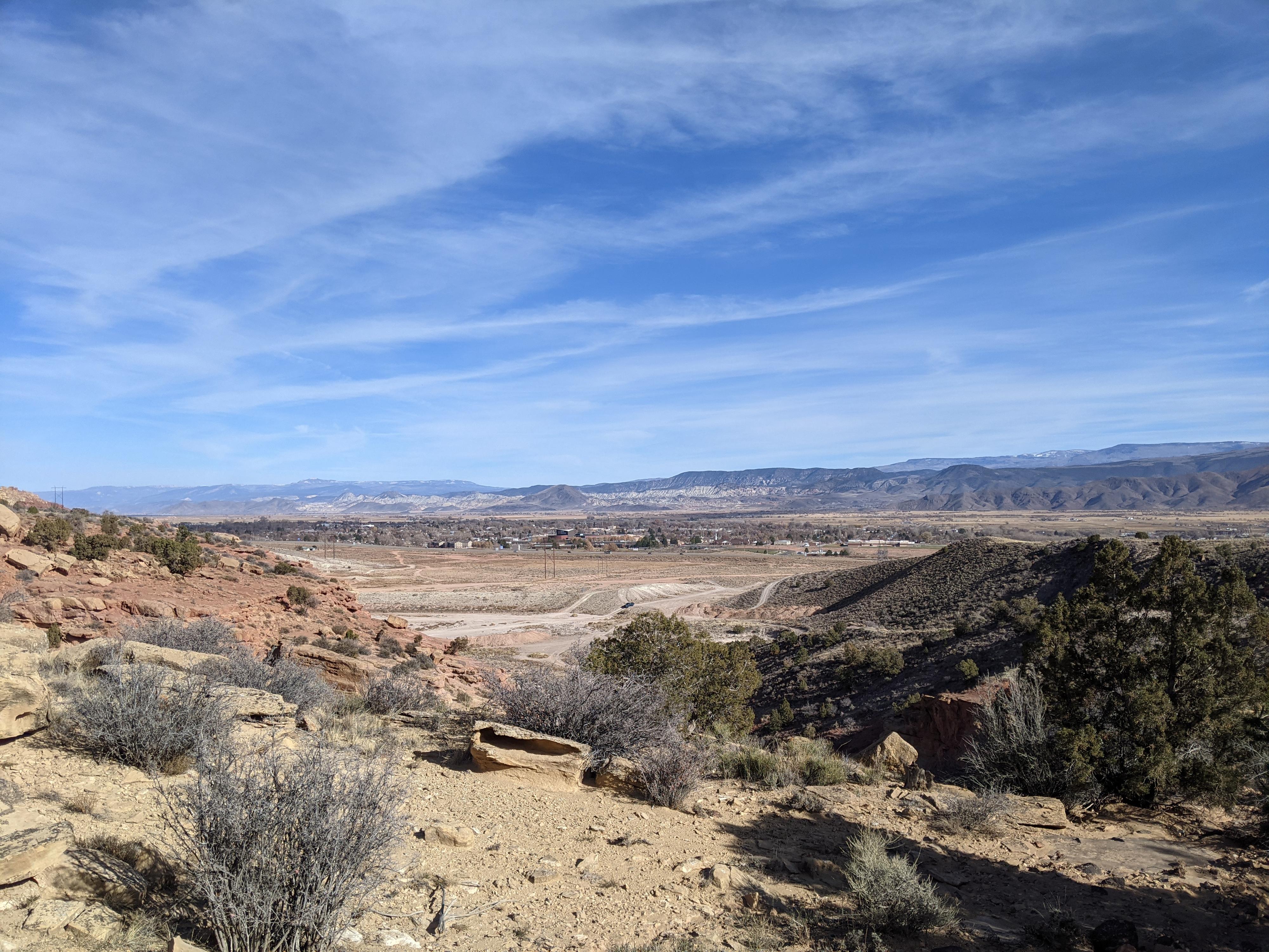
Richfield from the canyoneering approach.
Getting There
The trailhead is on the west side of I-70. From downtown Richfield, head west on 530 South. The road turns to dirt and crosses under the interstate. After crossing the interstate, the area becomes a tangled web of ATV and off-road trails. Using the path of least resistance, head west. There are two canyons in view, Dairy Canyon is the one on the left (south). Use the tangled web of roads to reach the bottom of the canyon. The trailhead is passable by most 2wd vehicles, but high clearance may be required depending on patch chosen. If needed, it is easy to walk from the interstate crossing. Total distance from the interstate crossing to the bottom of the canyon is about a half of mile depending on the path.
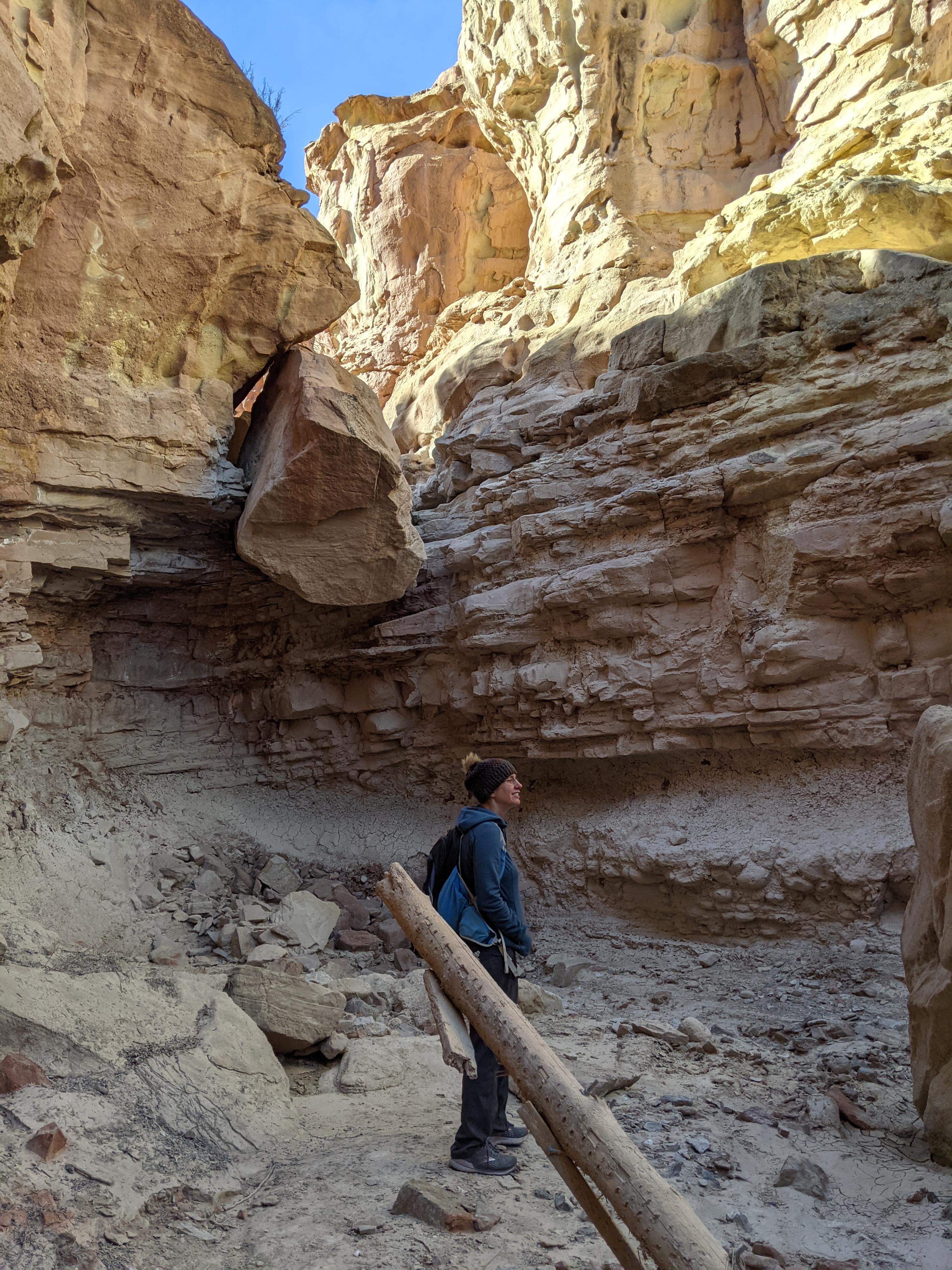
The dryfall in Dairy Canyon
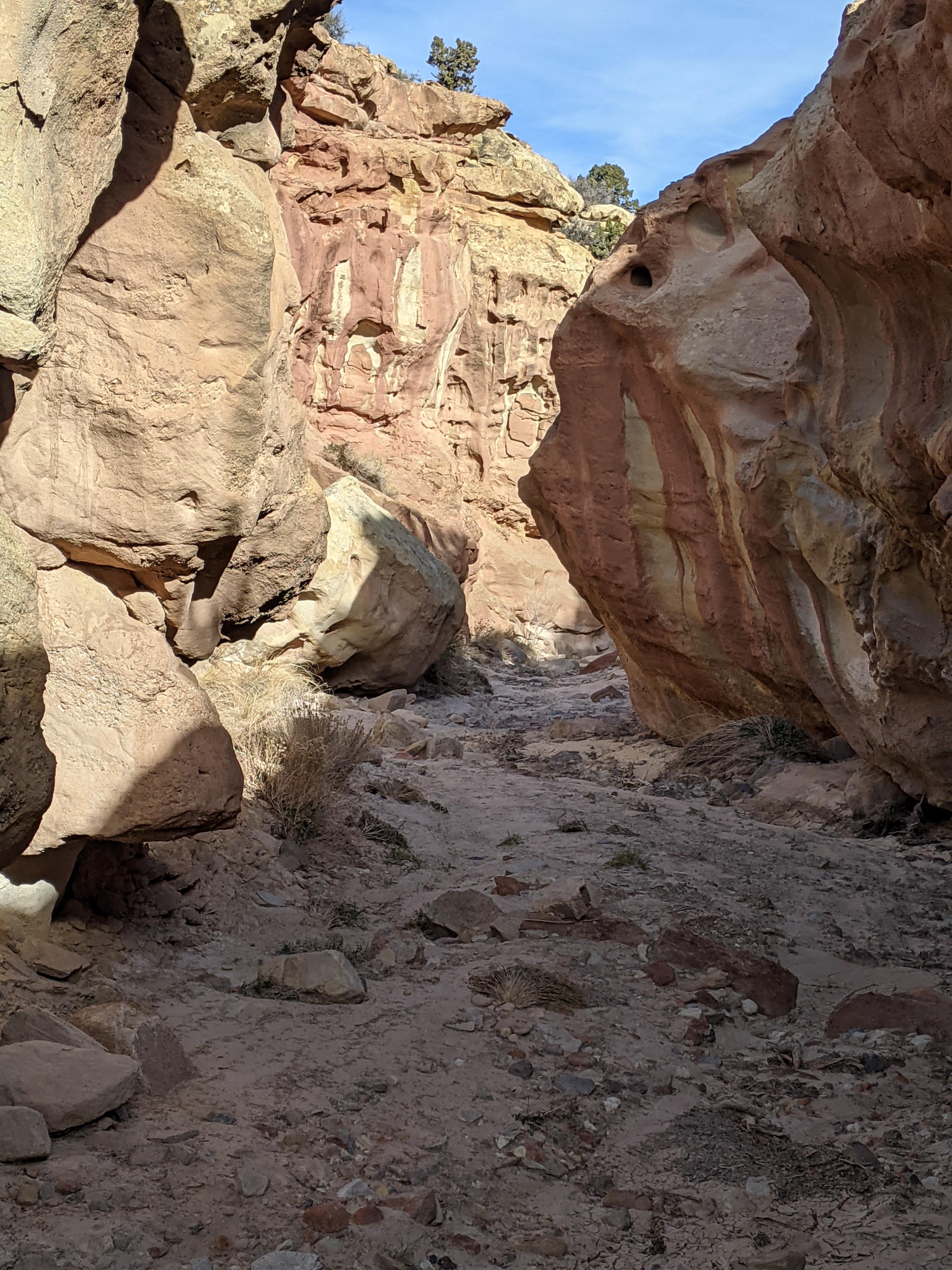
Great colors in Dairy Canyon
Route
Hiking Route:
From the trailhead, simply walk-up the canyon. The lower part is travelled by ATVs, but boulders soon make it a hiking route only. In 2021 there was a memorial here, early in the canyon. Hike up stream, with red and white walls that begin to tower overhead. A few minor obstacles present themselves, but there is always an easy path. At a small bend, the dry fall is reached. Return the same way.
Canyoneering Route:
From the trailhead, head south. You will see a road/ATV trail climbing steeply up the hill. Hike up this trail, staying on the main trail/road as it follows along the south side of the canyon. As the road crests a hill, the view opens, and you can see down into the open upper area of the canyon. Leave the road and work down to the canyon bottom.
Once in the canyon bottom, simply head down the canyon. A very short slickrock narrow section occurs right before the dryfall. At the dryfall, there are numerous good natural anchors for the rappel. The drop is currently about <span class="metersHeight">10 m</span>. Once down the rappel, it is an easy amble back down to the trailhead through a scenic section of canyon.
Photos
Maps

| Trailhead |
12S 403255mE 4291043mN N38° 45' 46" W112° 06' 49" |
| Canyon Bottom |
12S 402733mE 4290921mN N38° 45' 42" W112° 07' 10" |
| Dryfall |
12S 402807mE 4290971mN N38° 45' 44" W112° 07' 07" |