
 Fossil Butte
Southwest Wyoming
Overview
|
Sat 64 | 24 |
Sun 55 | 41 |
Mon 42 | 28 |
Tue 42 | 28 |
Wed 43 | 24 |
| View Full Weather Details | ||||
|
Sat 64 | 24 |
Sun 55 | 41 |
Mon 42 | 28 |
Tue 42 | 28 |
Wed 43 | 24 |
| View Full Weather Details | ||||
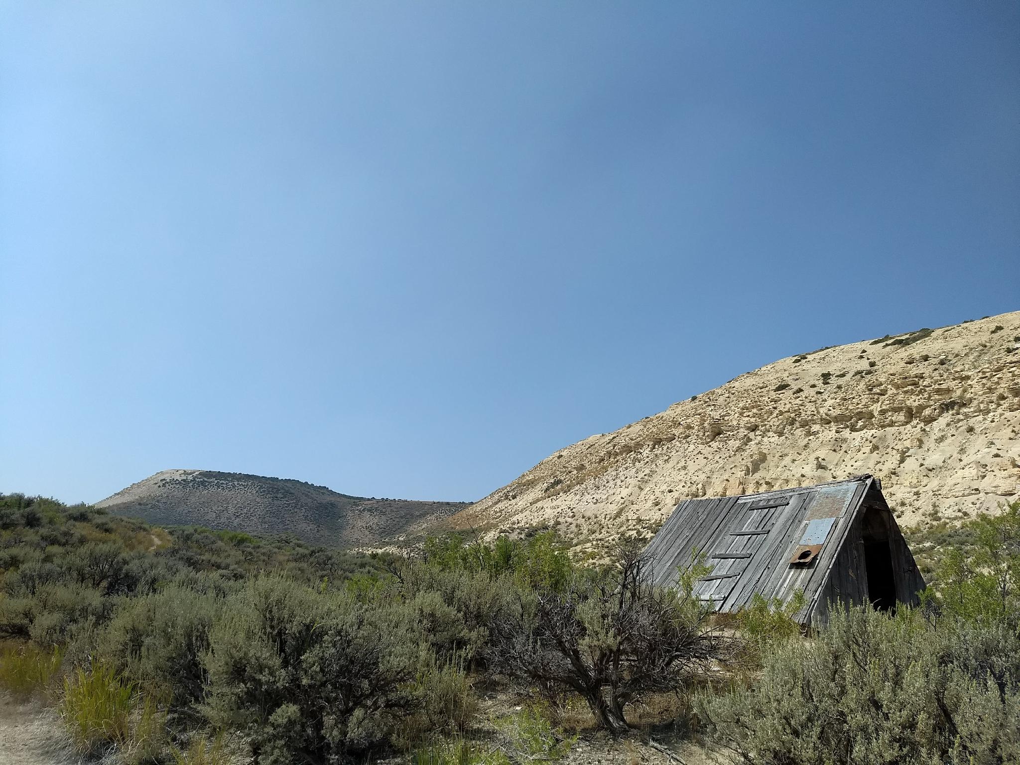
The old cabin and cliff that houses the quarry
Though you would not suspect it today, the high desert of southwestern Wyoming was a sub-tropical ecosystem 33-56 million years ago. During this time, a large lake covered the area near Kemmerer Wyoming and formed what is now referred to as Fossil Lake. The lake and environment created a world-class bed of fossils that was first discovered in the late 1800's.
Since the late 1800's, the area has been mined for fossils by various locals. It is home to many fossilized species of fish, reptiles, mammals, and a few different species of birds and plants. The monument is a destination that fossil hunters from around the world come to visit.
For the casual tourist, the visitor center has an incredible selection of fossils found on site (or nearby) on display. They also, during the summer season, conduct tours of active dig sites. It is a great family-friendly destination.
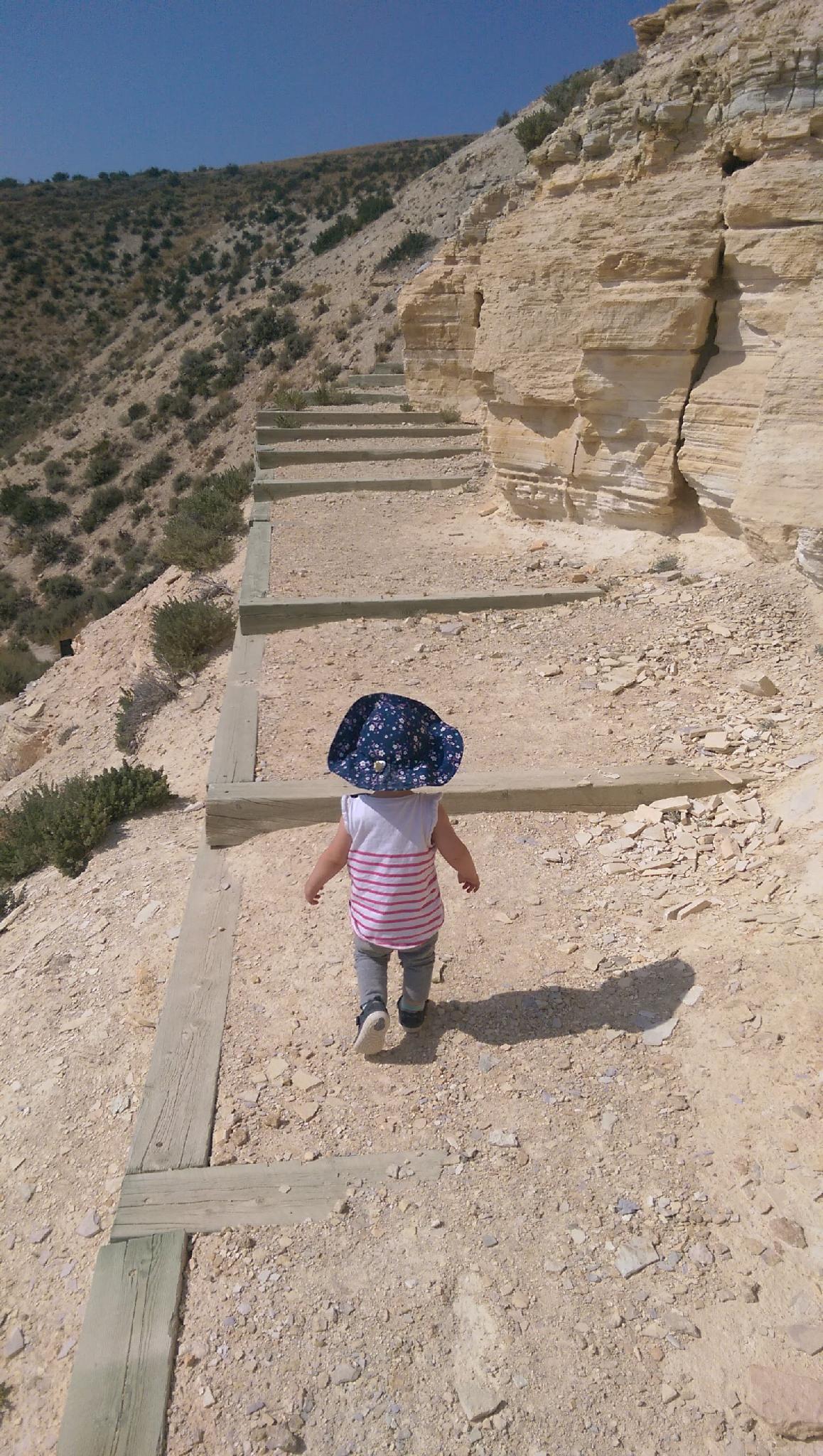
Hiking the quarry trail
Getting There
From Kemmerer, WY, head west on US-30. About 7 miles west of Kemmerer Fossil Butte is signed on the right. Follow the side road. The Quarry trail is on the right about 0.8 miles from US-30. The visitor center is about 3.5 miles from US-30.
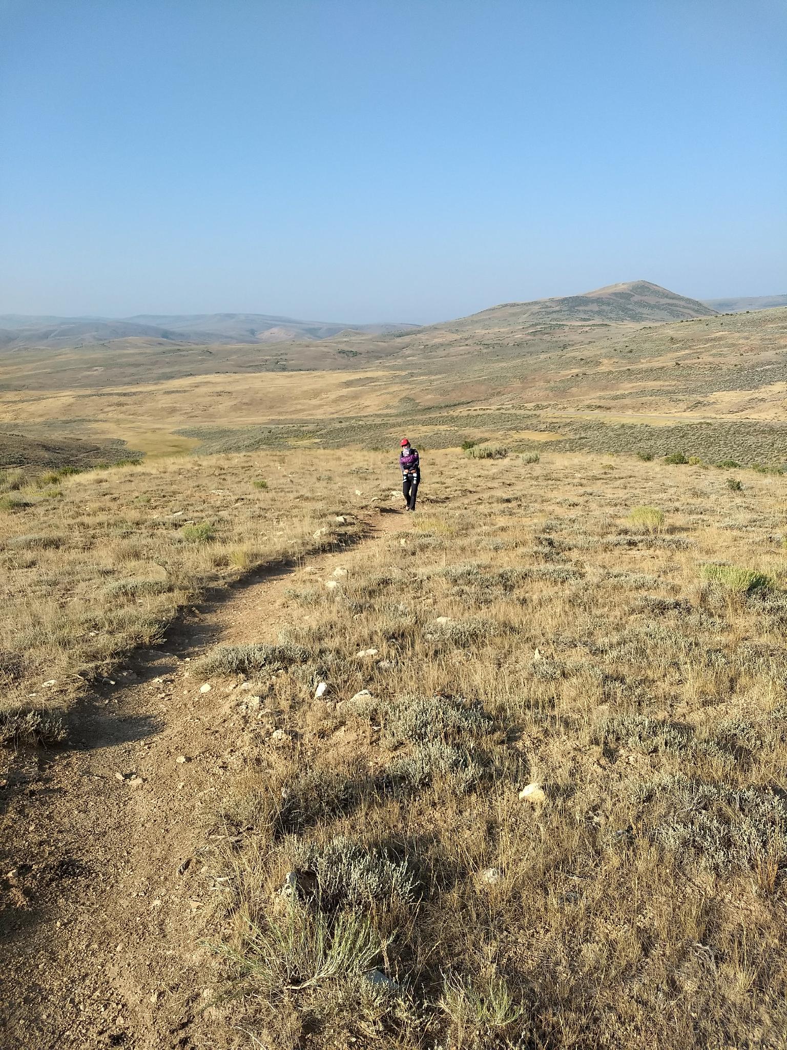
Big views along the nature trail.
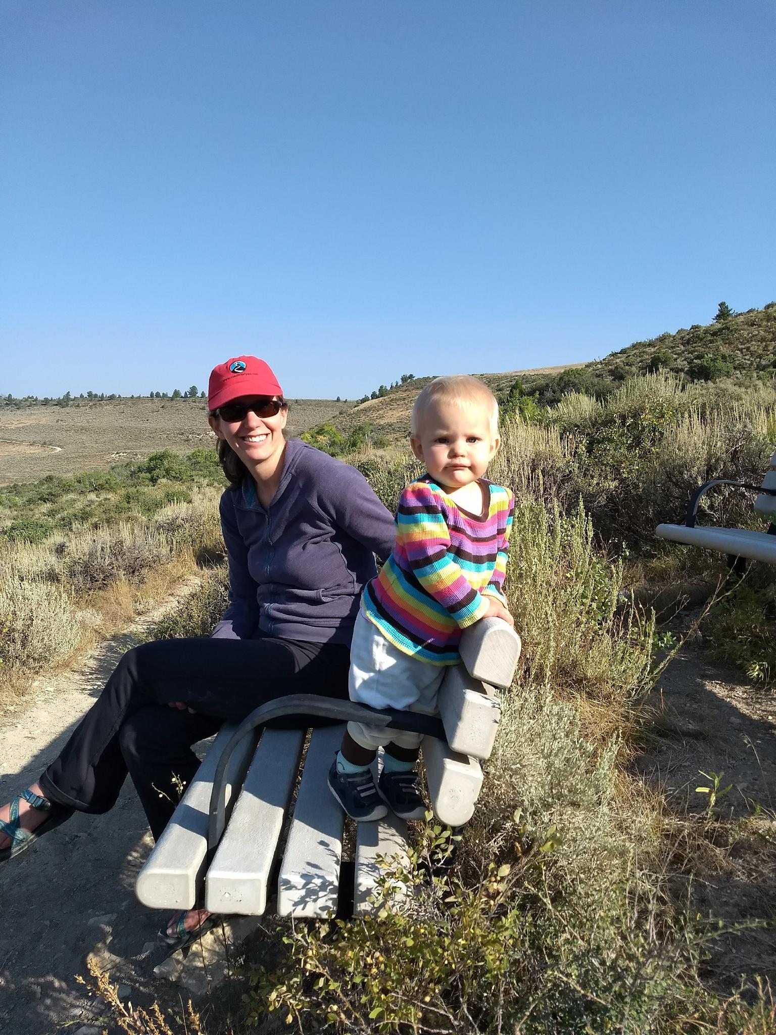
Ruby and Diane taking in the views along the nature trail.
Route
The visitor center is the recommended first stop for getting more information and seeing the impressive displays. Aside from the visitor center, there are two main trails in the park:
The Nature Trail (1.5 miles / 1-2 hours)
This short loop ascends from the parking area through the forest to the active dig site used on tours. If you aren't on a ranger-led tour, you are out of luck and can't visit the dig site, but can still make the loop.
There are many benches along the trail that make great break spots to take in the views.
Quarry Trail (3 miles / 2 hours)
This was my favorite trail that we did while visiting. You can visit the old quarry, or make a loop to visit a historic cabin along the way. My strong recommendation is to make the loop. The cabin is fascinating and fun to see, while the views along the way of the butte above are stark and dramatic.
Photos
Maps


| Visitor Center |
12T 518997mE 4631659mN N41° 50' 12" W110° 46' 16" |
| Trailhead - Nature Trail |
12T 518210mE 4634985mN N41° 51' 60" W110° 46' 50" |
| Trailhead - Quarry Trail |
12T 522003mE 4630182mN N41° 49' 24" W110° 44' 06" |
| Jct 1 |
12T 522126mE 4630427mN N41° 49' 32" W110° 44' 01" |
| Cabin |
12T 521982mE 4631056mN N41° 49' 52" W110° 44' 07" |
| Jct 2 |
12T 521436mE 4631273mN N41° 49' 59" W110° 44' 31" |
| Quarry |
12T 521521mE 4631435mN N41° 50' 04" W110° 44' 27" |