 Hiking Miner's Trail
Emigration Canyon
Overview
|
Sun 51 | 35 |
Mon 57 | 37 |
Tue 57 | 35 |
Wed 57 | 38 |
Thu 63 | 38 |
| View Full Weather Details | ||||
|
Sun 51 | 35 |
Mon 57 | 37 |
Tue 57 | 35 |
Wed 57 | 38 |
Thu 63 | 38 |
| View Full Weather Details | ||||
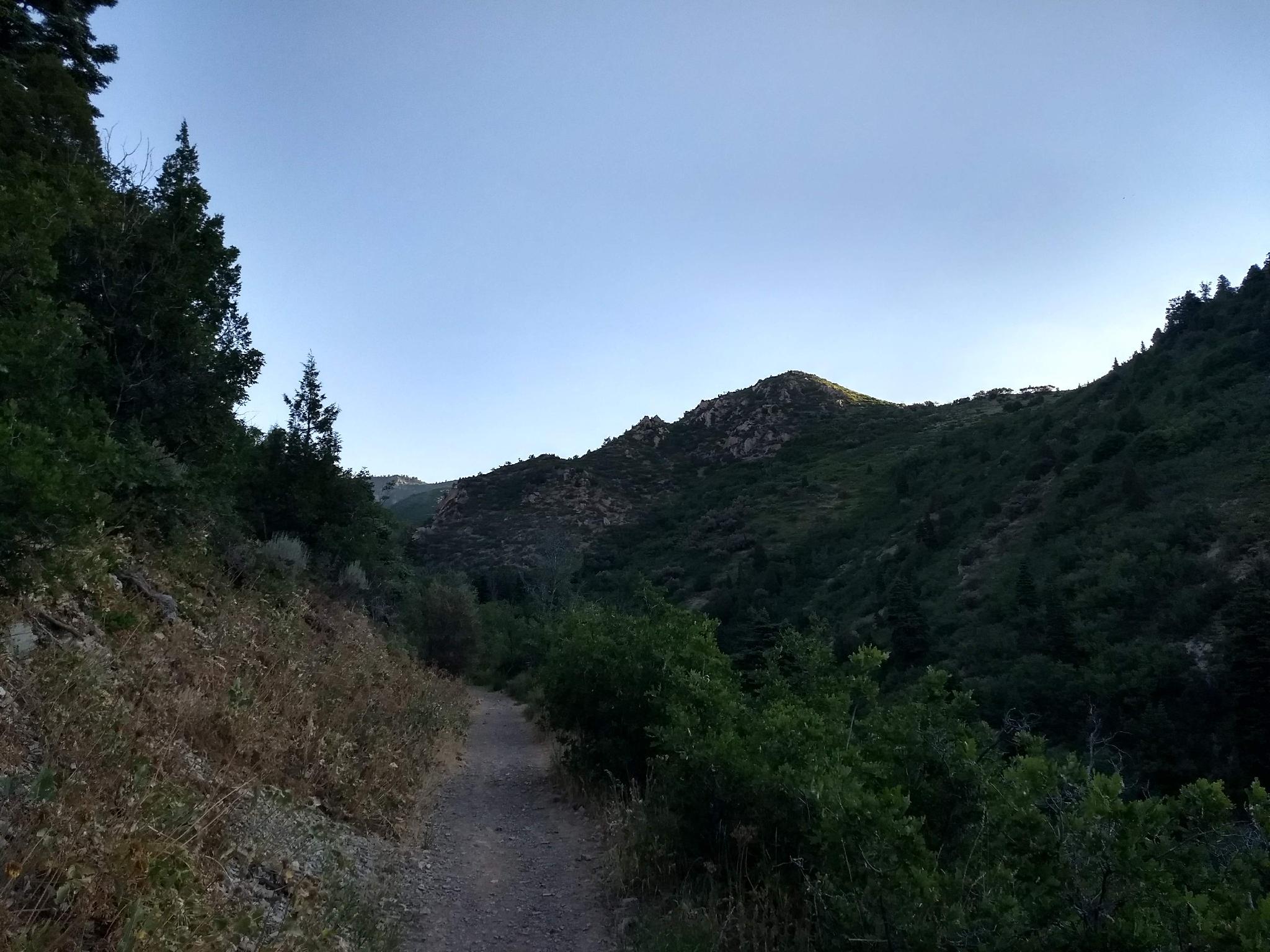
Looking toward the trailhead from the trail.
Beginning in 1846 with the Donner Party and 1847 with the Mormons, Emigration Canyon was the route pioneers used to enter the Salt Lake Valley. Many know this historical fact. The canyon, however, also has a long history as a quarry. In the late 1800's, stone blocks were the only method available for building foundations. As the Salt Lake Valley grew, granite quarries in Little Cottonwood Canyon to the south and, surprisingly to many, sandstone quarries at the top of Emigration Canyon provided the stone for the foundations.
Moving stone by wagon was laborious and challenging, and by the late 1800's, a railway line was in place leading up to near the top of Emigration Canyon. By the early 1900's, the canyon was booming with summer cottages and a lodge in Killyon Canyon, and passengers, as well as stone, were using the rail line.
This hike starts just down canyon from Pinecrest and follows an old miners’ road to incredible views and a bit of history. Known as the miner's trail, the hike visits a shallow and now gated off mine known as the Pinecrest mine. Motivated hikers can continue to the ridge and views of Upper Red Butte Canyon and the Salt Lake Valley beyond.
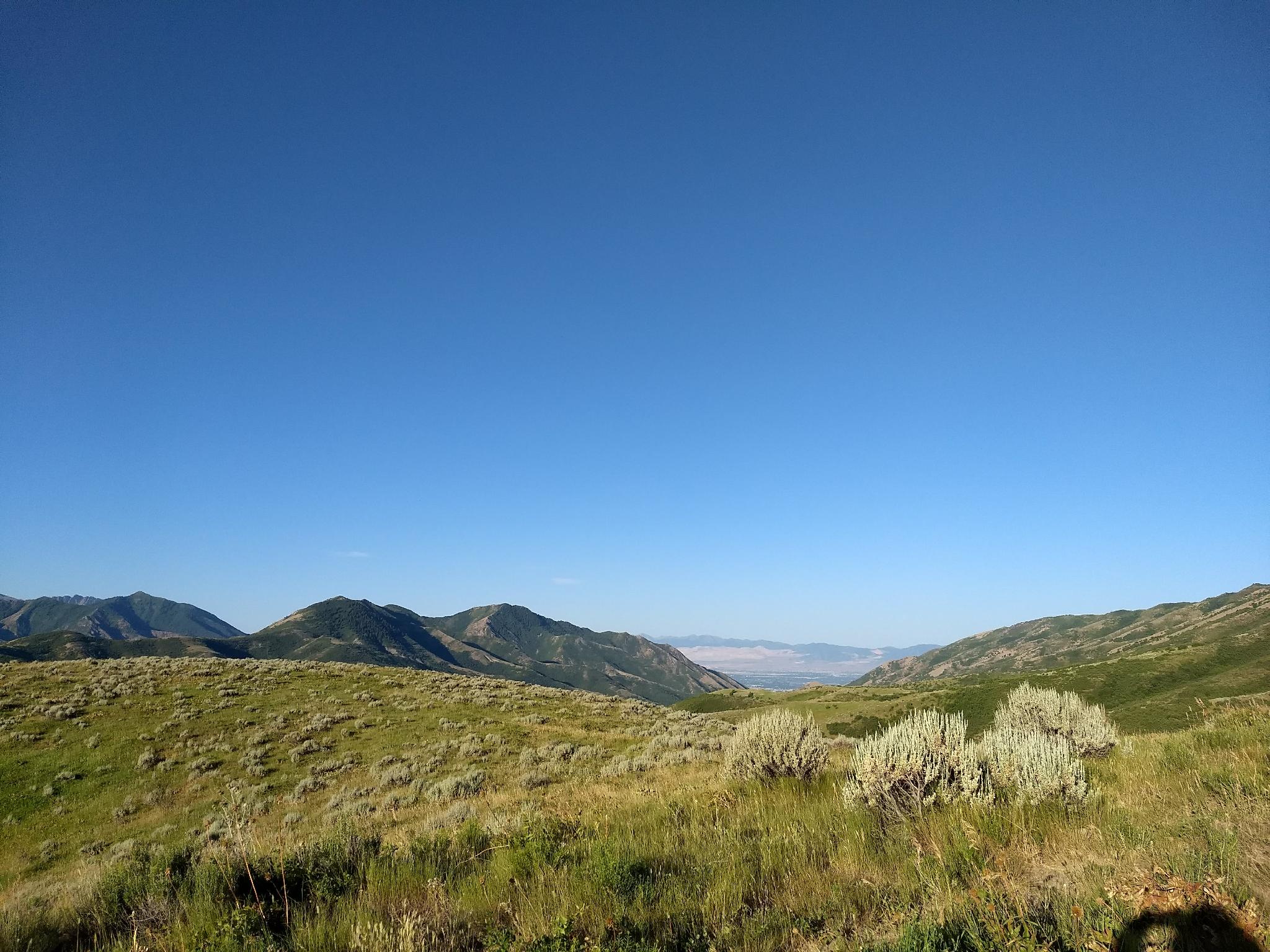
Emigration Canyon and Salt Lake in the distance.
Getting There
The trailhead is up Emigration Canyon on the east side of Salt Lake. From downtown Salt Lake, travel east on 800 S. This becomes Sunnyside Avenue. Follow Sunnyside Avenue which turns into Emigration Canyon Road at the mouth of Emigration Canyon.
From the mouth of Emigration Canyon, continue up the canyon for 6 miles. When the canyon makes a sweeping bend to the right, stay straight on Pinecrest Canyon Road. At 0.4 miles from turning onto Pinecrest Canyon Road, stay left. From this last junction, continue 1.3 miles up the canyon to a small dirt parking are on the left. This parking area has a map and hunter information sign. An old gated dirt road goes off to the south. This is the trailhead with parking for a half dozen cars or so.
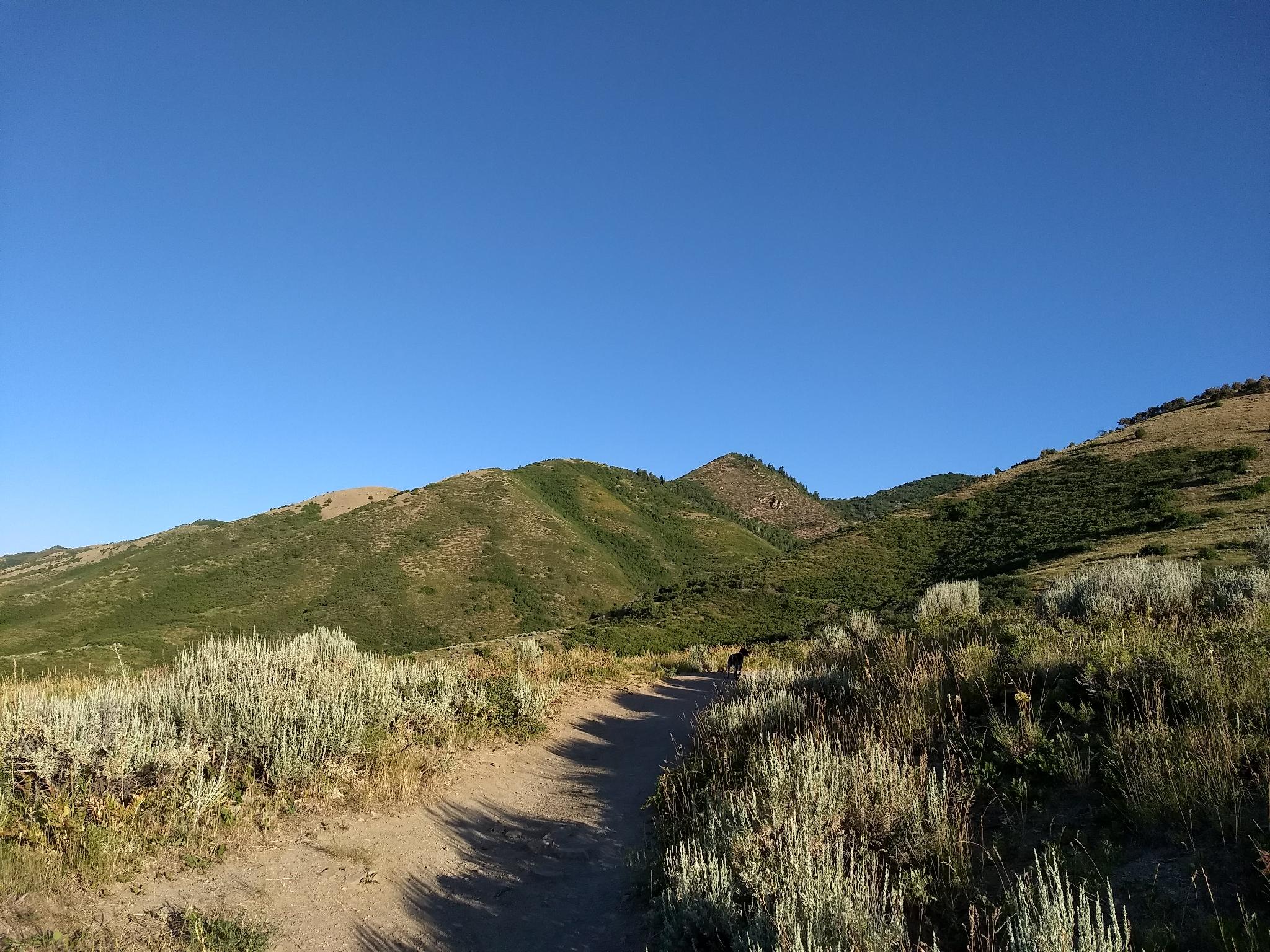
Views as the trail begins to head north.
Route
To The Mine (1 hour / 2 miles)
From the trailhead, follow the old road as it heads south. It is wide and almost luxuriously flat, making for easy hiking. Stay on the main trail, ignoring the several minor side trails. After 15 minutes (0.7 miles) the trail curves north around the end of the hillside. Stay right here at a junction. Left goes to an overlook, then into a neighborhood.
The flat trail continues north into Brigham Fork canyon. At about 1.75 miles (40-45 minutes), the trail narrows and the scenery changes from foothills to montane vegetation.. At almost exactly 2 miles, the trail crosses a small stream. The old mine in directly in front of the path, behind the massive Douglas Fir in a jumble of rocks.
The mine makes a great lunch spot and is my recommended turn around spot.
To the Ridge (0.7 miles one way / 1 hour)
Still motivated? Continue north on the trail, which passes through a couple of luscious meadows, then turns due west and begins a lung-busting climb to the ridge. Though short on distance, the ridge is more than 600 above where you left the mine. The east facing slope is incredibly lush, and did I mention steep?!?!
At the ridge, continue west a minute or two to get unobstructed views down into Red Butte Canyon and of the Salt Lake Valley beyond. Return the same way, watching your step on the way down. The steep dirt sections can be a bit perilous.
Photos
Maps

| Trailhead |
12T 439017mE 4517649mN N40° 48' 27" W111° 43' 23" |
| Right |
12T 439113mE 4516680mN N40° 47' 56" W111° 43' 18" |
| Mine |
12T 438174mE 4517898mN N40° 48' 35" W111° 43' 59" |
| Ridge |
12T 437393mE 4517926mN N40° 48' 36" W111° 44' 32" |