 Hiking Twin Lakes
Big Cottonwood Canyon
Overview
|
Mon 46 | 28 |
Tue 40 | 21 |
Wed 35 | 25 |
Thu 37 | 20 |
Fri 45 | 25 |
| View Full Weather Details | ||||
|
Mon 46 | 28 |
Tue 40 | 21 |
Wed 35 | 25 |
Thu 37 | 20 |
Fri 45 | 25 |
| View Full Weather Details | ||||

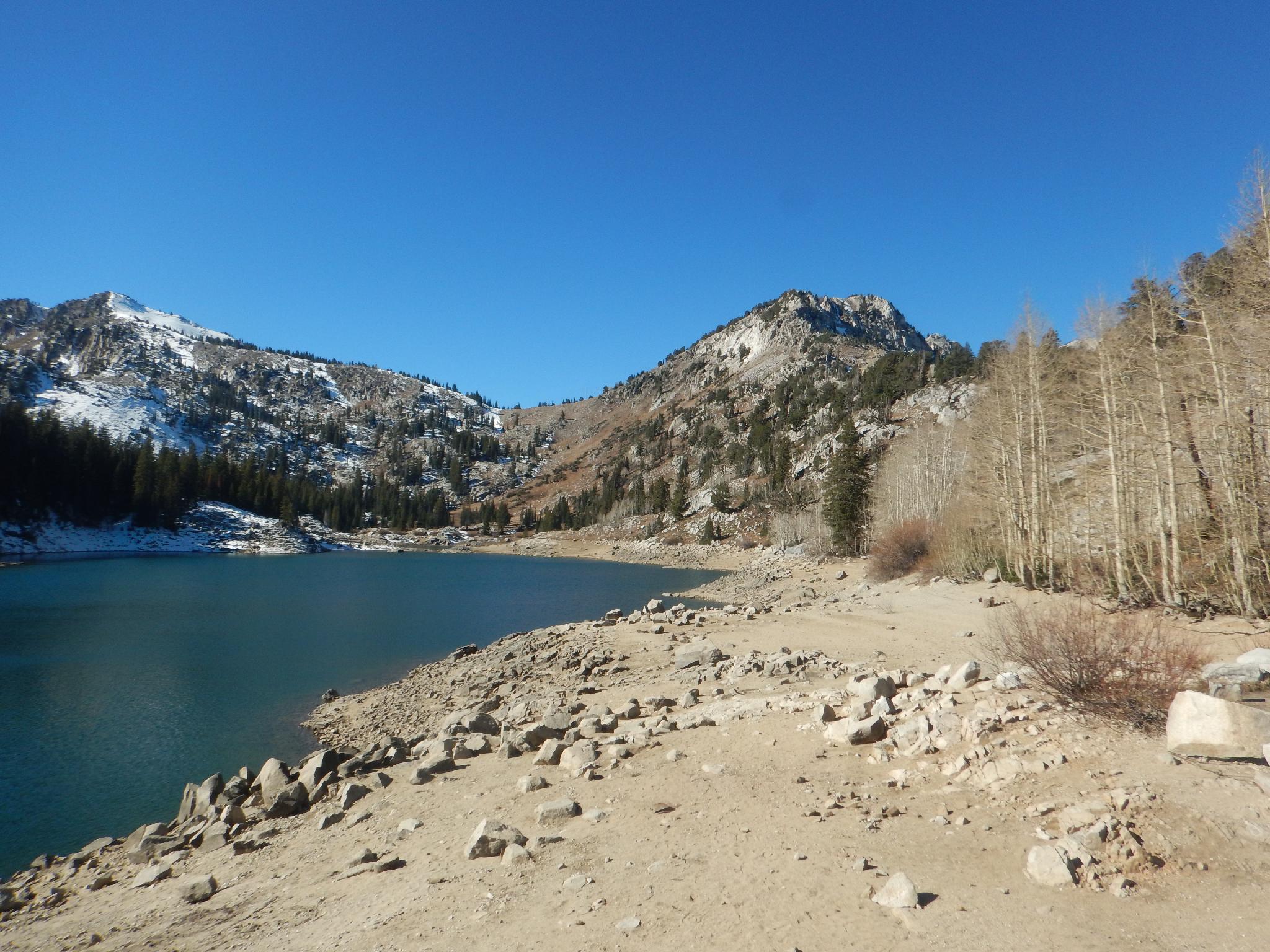
Nearing Twin Lakes
If you are visiting Silver Lake and looking for a bit longer hike, Twin Lakes is the one to do. I highly recommend Twin Lakes. The relatively short hike has great views of the peaks that surround Brighton, and the lake is a beautiful and picturesque destination. This is an excellent summer hike for wildflower peepers, and, in the fall for foliage peepers.
A note to set expectations is probably in order. I really enjoyed this hike and found the scenery stunning, but it is ultimately a hike up a ski resort. The trail mostly follows a ski run, with the accouterments of a ski resort clearly visible throughout the hike. This is not a wilderness adventures or place to find solitude away from the trappings of modern day society.
That being said, this is an excellent family friendly hike that I highly recommend.
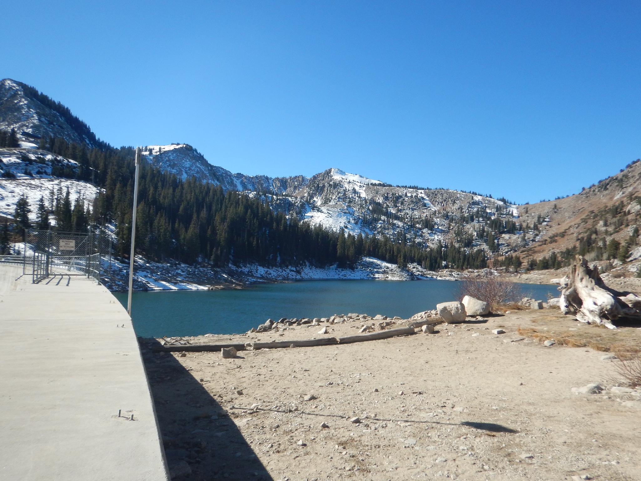
Twin Lakes on a late fall day.
Getting There
Big Cottonwood Canyon is on the east side of the Salt Lake City Valley. Get there by taking I-215 to the east, taking exit 6 off the interstate and heading east.
Follow 6200 South which becomes Wasatch Blvd for 1.8 miles to the stop light and signs for Big Cottonwood Canyon.
Turn left at the light and reset your odometer.
Drive up Big Cottonwood Canyon 14 miles to the small community of Brighton. At the loop, go right, with Silver Lake Visitor Center well signed on the right with a small parking area. If the parking area is full, there is more parking just up the road at the resort.
Twin Lakes
Route
From the Silver Lake Trailhead, follow the Silver Lake trail right (counter-clockwise) around the lake. At the far end of the lake, a major trail junction is reached.
Go right at this well-signed junction toward Twin Lakes and Lake Solitude. A minute or two after this junction is a second junction. Go left here; the trail steepens and join a ski run in a few minutes. At the ski run, go left on the now wide trail. It wanders up, relatively steeply, to Twin Lakes proper. Return the same way.
Alternate Return: Looking for a longer loop? This can be made into a loop that visits Lake Solitude. From the dam, follow the social trail west a couple of minutes to the access road. Go left on the access road and follow it up to the ridge.
From the ridge, go west down the access road. It descends to Lake Solitude.
To return to the trailhead, find the Lake Solitude Trail on the northeast side of the lake. It is well signed and returns to Silver Lake in about 30 minutes.
Photos
Maps

| Trailhead |
12T 450533mE 4494895mN N40° 36' 12" W111° 35' 05" |
| Jct - Right |
12T 450217mE 4495113mN N40° 36' 19" W111° 35' 18" |
| Left To Twin Lakes |
12T 450144mE 4495193mN N40° 36' 22" W111° 35' 21" |
| Left On Road |
12T 449863mE 4494942mN N40° 36' 14" W111° 35' 33" |
| Twin Lakes |
12T 449550mE 4494443mN N40° 35' 57" W111° 35' 47" |