
 Golden Spike National Monument
Promontory Point
Overview
|
Wed 52 | 37 |
Thu 57 | 33 |
Fri 61 | 39 |
Sat 70 | 40 |
Sun 68 | 48 |
| View Full Weather Details | ||||
|
Wed 52 | 37 |
Thu 57 | 33 |
Fri 61 | 39 |
Sat 70 | 40 |
Sun 68 | 48 |
| View Full Weather Details | ||||
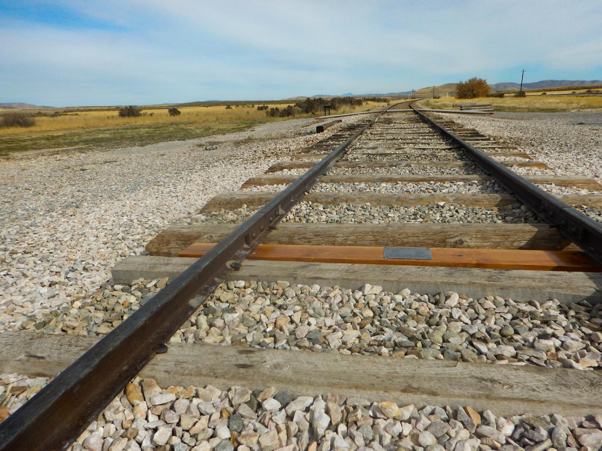
The spot where the two railroads joined.
Though lacking the stunning vistas and loads of activities found at most of Utah’s park and monuments, the Golden Spike National Monument is a good place to spend a half-day for history buffs, train enthusiasts, and anyone looking for a different kind of adventure. The Monument is a bit of out of the way from most places, but makes a good full day outing when combined with a visit to the Spiral Jetty or the Bear River Migratory Bird Refuge. Bring a picnic lunch; there are no services at the Monument.
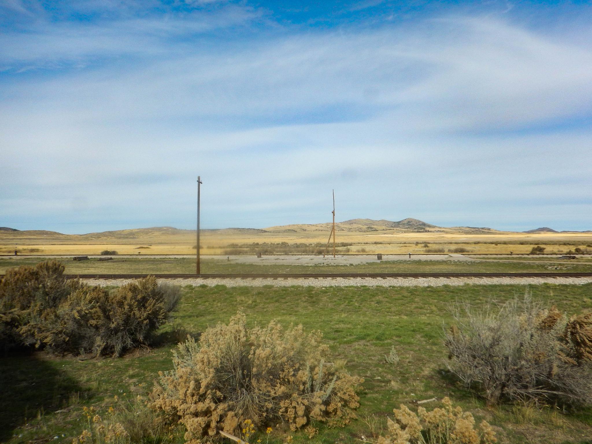
View from the monument.
Getting There
From the wasatch front, head north on I-15 to exit 365 (just north of Brigham City). Go west under the highway and follow SR-13 At 2.8 miles, stay on the well signed SR-83 that continues to Golden Spike. After 17.4 miles on SR-83, go left on the signed 7200 North road that leads into the park.
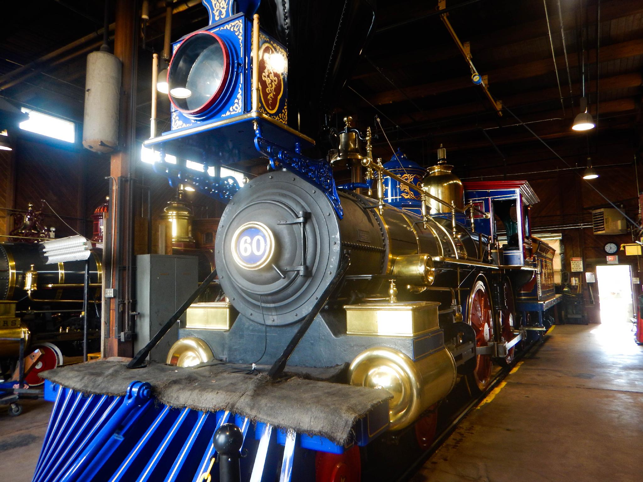
A replica of the original train.
Route
The best place to start a visit to the Monument is at the Visitor’s Center. Here there are small, but well put-together displays on the history of the railroad and the "Hells on Wheels" towns that sprung up alongside the track as it was laid, as well as several movies you can watch. The location where the tracks from the east and west met up is just outside the visitor’s center. The site itself isn’t that impressive, but there are interesting informational signs placed all around. Reenactments of the driving of the Golden Spike take place on Saturdays and holidays between May 1 through Columbus Day weekend (check the park for times and to confirm the schedule) involving two locomotives that are exact replicas of the original. If visiting during the off-season, definitely take a tour of the engine house to see the locomotives and hear about their interesting history.
There are a couple of options for extending your stay. Get out and stretch your legs on the 1.5 mile walking loop along parallel track laid by competing railroad companies. Or drive along the railroad grades on one of the auto tours, including the 14 mile West Auto Tour (closed in winter) or the 2 mile East Auto Tour (both not approved for RVs or vehicles towing trailers). All these excursions provide ample opportunity to view cuts and fills and contemplate the work that it took to create the railroad. The East Auto Tour also has an interesting natural arch created by the wave action of Lake Bonneville.
Photos
Maps

| Golden Spike Utah |
12T 370805mE 4608430mN N41° 37' 02" W112° 33' 03" |
| Big Fill Trailhead |
12T 375764mE 4610571mN N41° 38' 14" W112° 29' 30" |
| Chinese Arch |
12T 375742mE 4609584mN N41° 37' 42" W112° 29' 30" |