
 Kings Crown Panel
Western San Rafael Swell
Overview
|
Sun 61 | 36 |
Mon 69 | 35 |
Tue 70 | 39 |
Wed 64 | 40 |
Thu 62 | 33 |
| View Full Weather Details | ||||
|
Sun 61 | 36 |
Mon 69 | 35 |
Tue 70 | 39 |
Wed 64 | 40 |
Thu 62 | 33 |
| View Full Weather Details | ||||
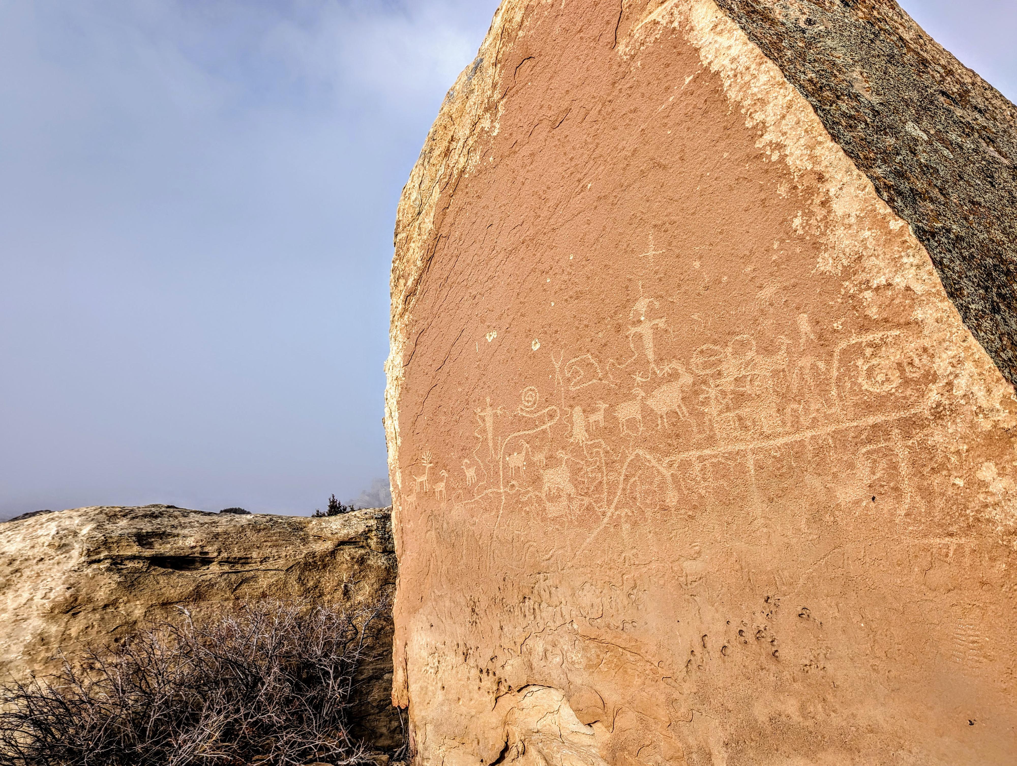
King's Crown Panel in the San Rafael Swell
King's Crown, to me, is one of the more interesting rock art sites to visit on the western side of the San Rafael Swell. My first attempt to find the panel took a bit of hunting around, as King's Crown is marked in a different place on the USGS topographic map than the actual panel. The panel itself is on a giant boulder that is surrounded by other boulders and overhangs. One of my visits happened to be on a chilly, foggy winter day. Walking around King's Crown in the fog, it was easy to imagine native peoples using the boulders and overhangs for shelter while hunting the open slopes of the area. It is a fascinating place to visit.
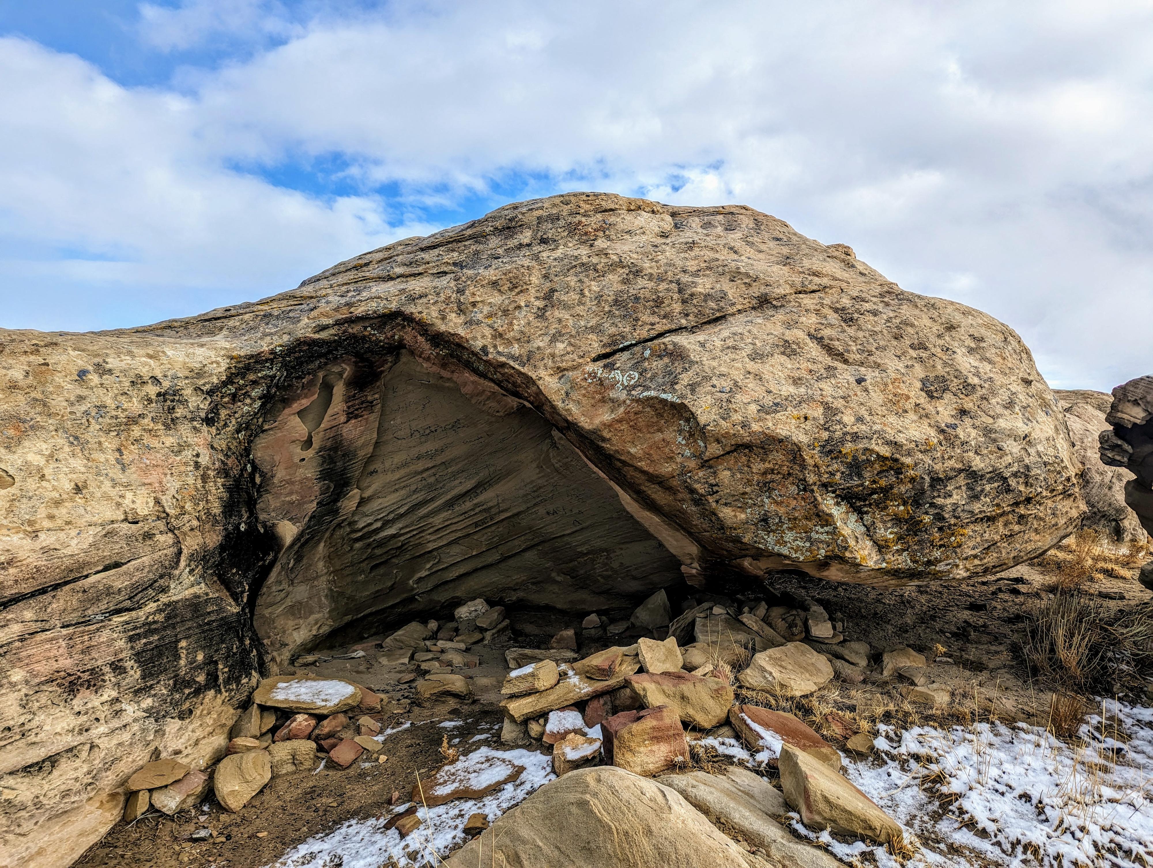
One of the sheltered overhangs at the base of King's Crown.
Full Details
Login For Full Details!
- OR if you are not yet registered -
Register
(It is free and easy.)