 Hiking White Mountain Petroglyphs
Red Desert
Overview
|
Sun 56 | 34 |
Mon 58 | 32 |
Tue 59 | 31 |
Wed 58 | 33 |
Thu 64 | 32 |
| View Full Weather Details | ||||
|
Sun 56 | 34 |
Mon 58 | 32 |
Tue 59 | 31 |
Wed 58 | 33 |
Thu 64 | 32 |
| View Full Weather Details | ||||
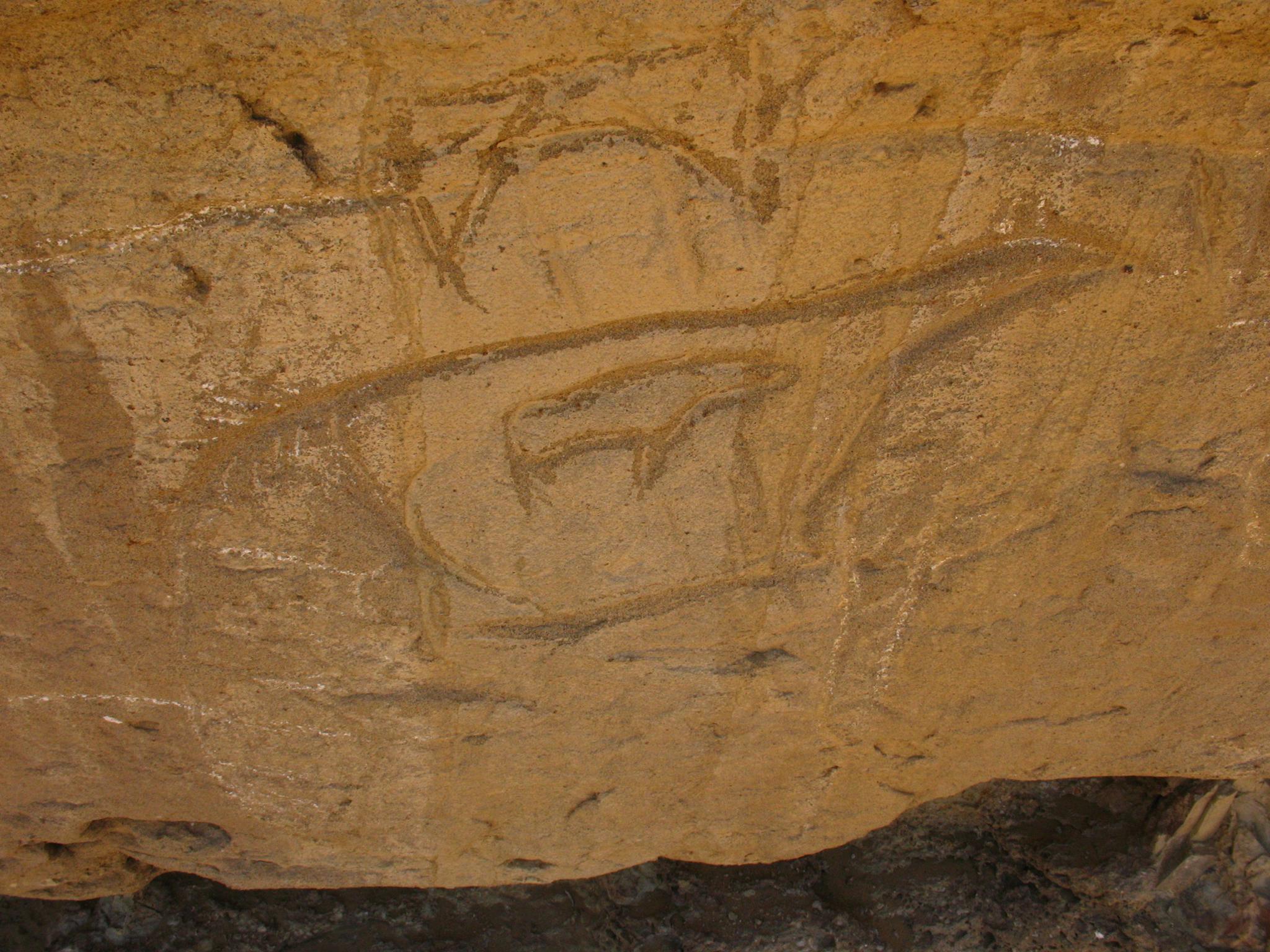
Fascinating rock art!
The Red Desert region in Wyoming was inhabited by Shoshone Indians long before the first Europeans ventured into this wild area. White Mountain must have been a gathering place for early peoples. They carved hundreds of petroglyph figures in dozens of panels into the soft sandstone of White Mountain. Though impossible to accurately date the figures, it is estimated they were drawn between 200 and 1000 years ago.
Many of the figured depict animals and hunting, while some also depict horses. It was not until the late 1600's that horses were introduced to the area by Spanish explorers, making those figures carved after about 1700.
To me, the most interesting panels are the ones that show an animal within an animal. I have not seen those in other places. There are also small hand and feet carvings, which are amazing to see.
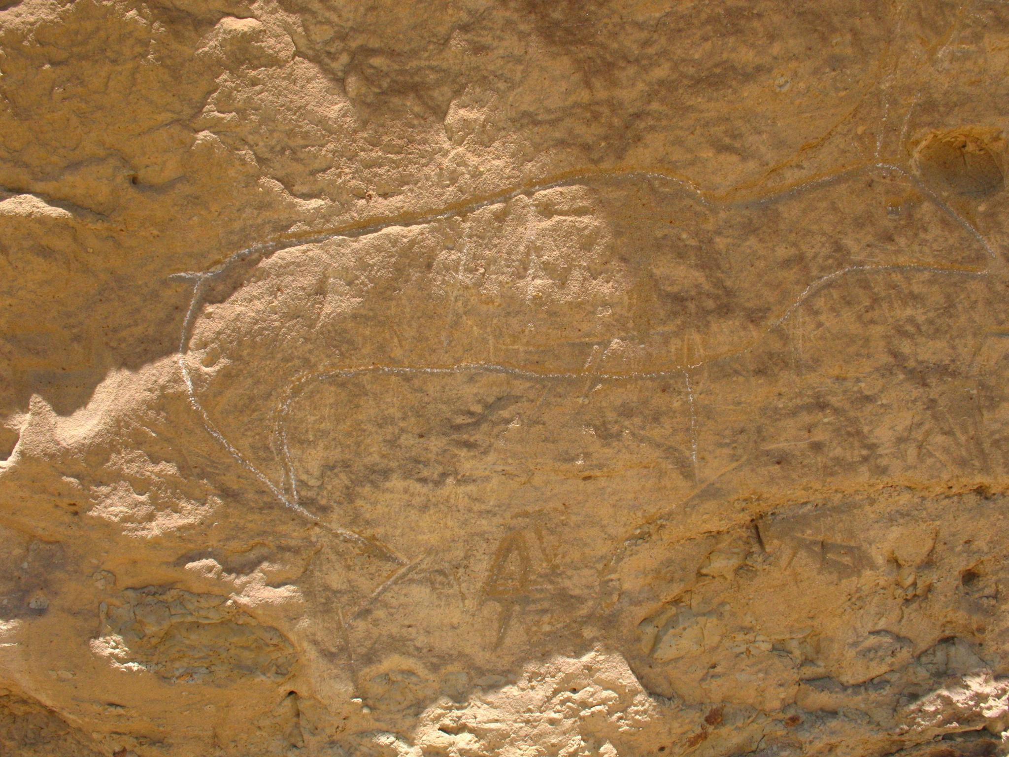
More of the rock art.
Getting There
Take exit 104 off of I-80. This exit is on the east side of Rock Springs. Once off the highway, travel north on US-191 for about 8.4 miles to Chilton Rd/Tri Territory Rd on the right.
- Reset your odometer as you turn onto Chilton Rd/Tri Territory Rd. Stay on the main dirt road from here, ignoring the many lesser side roads. ( 12T 643554mE 4620897mN / N41° 43' 37" W109° 16' 26" )
- 13.6 miles - Good dirt road on the left. Take it. ( 12T 648738mE 4639187mN / N41° 53' 26" W109° 12' 26" )
- 16.5 miles - Trailhead ( 12T 644373mE 4638977mN / N41° 53' 22" W109° 15' 35" )
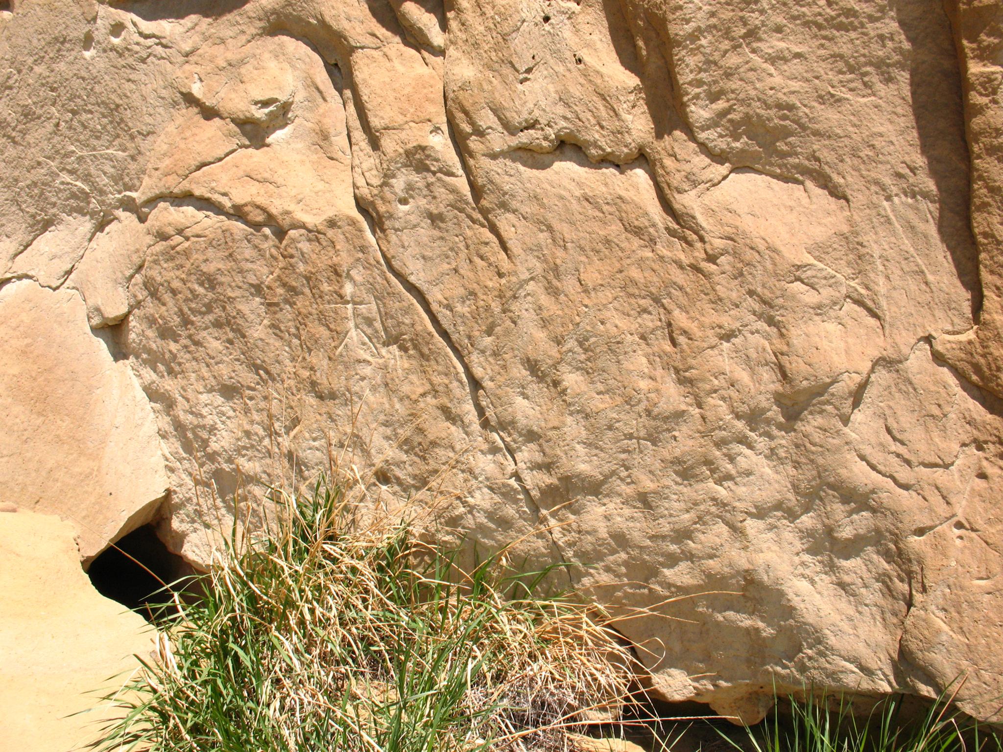
Faint figures.
Route
Rock art and historic sites are fragile, non-renewable cultural resources that, once damaged, can never be replaced. To ensure they are protected, please:
- Avoid Touching the Petroglyphs: Look and observe, BUT DO NOT TOUCH!
- Stay on the Trails: Stay on the most used trails when visiting sites, and don't create new trails or trample vegetation.
- Photography and Sketching is Allowed: Do not introduce any foreign substance to enhance the carved and pecked images for photographic or drawing purposes. Altering, defacing, or damaging the petroglyphs is against the law -- even if the damage is unintentional.
- Pets: Keep pets on a leash and clean up after them.
- Artifacts: If you happen to come across sherds (broken pottery) or lithics (flakes of stone tools), leave them where you see them. Once they are moved or removed, a piece of the past is forever lost.
From the trailhead, follow the dirt road west. After about 0.3 miles (5 minutes), a fenced area marks the base of White Mountain. Cross through the fence at the gate and follow the trail to the bottom of the cliffs. The panels are along the cliff base.
Photos
Maps

| Trailhead |
12T 644373mE 4638977mN N41° 53' 22" W109° 15' 35" |
| Fence |
12T 643941mE 4639044mN N41° 53' 25" W109° 15' 54" |
| White Mountain |
12T 643919mE 4639142mN N41° 53' 28" W109° 15' 55" |