 Roadside Attraction
Delamar Ghost Town
Roadside Attraction
Delamar Ghost Town
Caliente
Overview
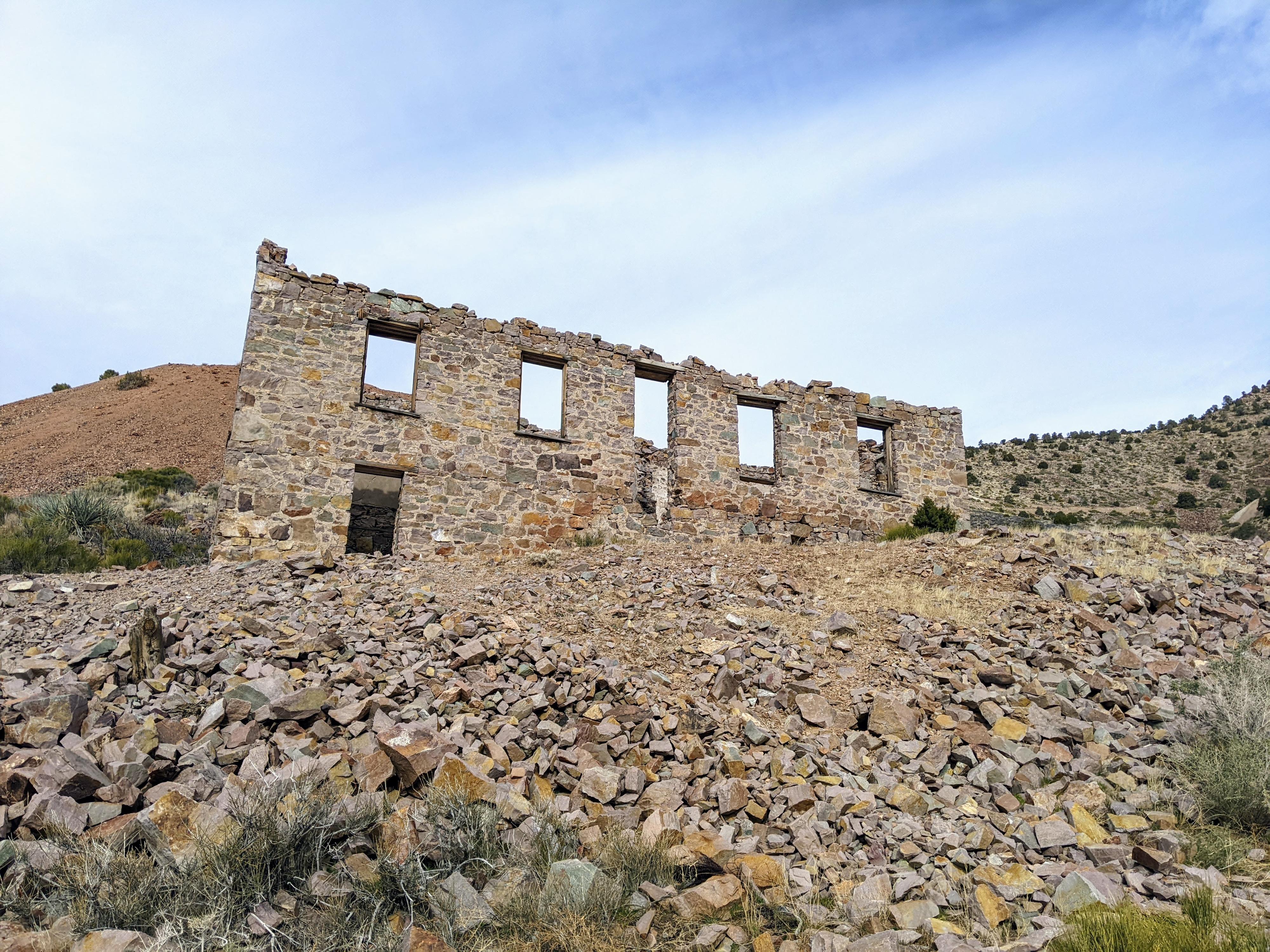
Delamar, also known as “The Widowmaker”, is a ghost town in eastern Nevada. The town is expansive, and thanks to its mostly masonry construction, still has quite a few walls and partial buildings to visit. This is probably the most interesting ghost town I have visited. You could easily spend a couple of days exploring the area.
History: Farmers from the Pahranagat Valley discovered gold in the late 1800s. Soon after, Captain John Delamar came to the valley and purchased mining claims in the area for $150,000 in 1893. Camp Delamar soon became town Delamar as the boom began!
The town had many stores, saloons, and a theater by the 1890s. This is remarkable to think of since water had to be pumped a fair distance from the valley below. Supplies were brought in via a long mule journey from Milford Utah about 150 miles away.
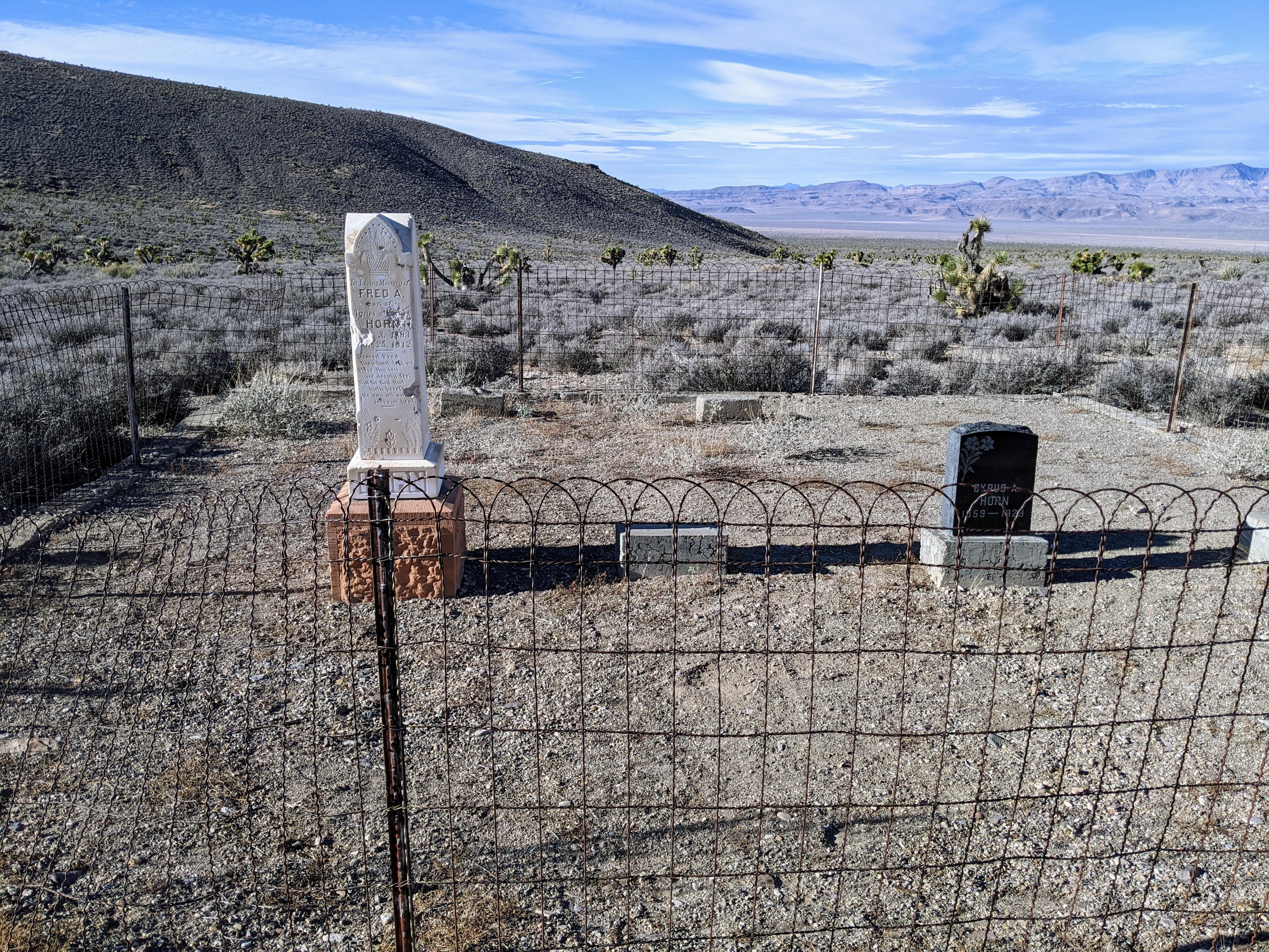
Unfortunately, however, the rock the miners were tunneling into in search of gold contained silica. The mining released silica dust into the air, which when inhaled over time causes silicosis, a hardening and scaring of the lungs. This led to the town becoming known as the Widowmaker. Recent investigations show the mines may have also had high levels of radon, which likely worsened miners’ health as well.
After a fire in 1900, Delamar sold his shares and moved on. The mines had produced about $8.5 million in gold. Mining continued after the sale until about 1910. The area had a brief resurgence in the 1920s, however, the boom times were over. Since the 1920s, the town has slowly deteriorated into the ghost town it is today.
Getting There
The town is south of US-93 that connects the town of Caliente on the east side to Crystal Wash/Alamo on its west side. From Caliente, drive west on US-93 for about 17 miles to mile marker NY 76.3. There is a large pullout here, and a side road heading south signed for Delamar.
Route Description
The parking spot marks what I assume must have been more or less the main downtown area of Delamar. The former main road runs east and west, with a large building and many additional walls lining the street to the west.
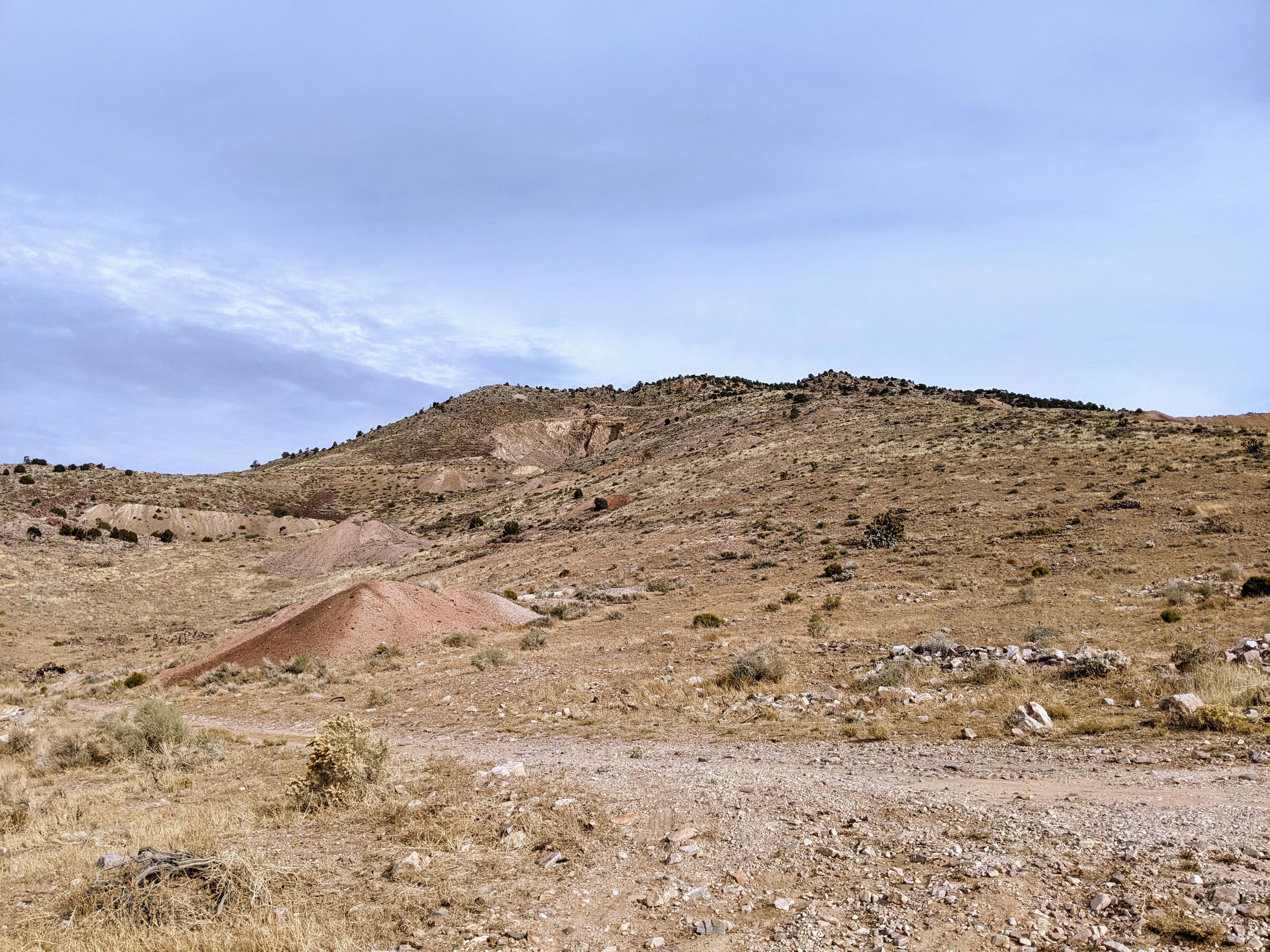
From this spot, be sure to hike (or drive the very rough road) east. It climbs up toward the mines, passing more buildings on the right side of the road, before reaching a fairly well preserved and impressive two story building on the left. Continuing up the road heads into the actual mine areas. Use caution around the mine entrances.
Be sure to keep an eye out on the hillsides as well. On our visit, several wild horses were roaming above the mines and nervously keeping an eye on us.
Photos
Maps

11S 696313E 4149717N
37°28'25"N 114°46'48"W
11S 696910E 4148112N
37°27'32"N 114°46'25"W
11S 697258E 4147909N
37°27'25"N 114°46'11"W
11S 697644E 4148120N
37°27'32"N 114°45'55"W
11S 697153E 4147845N
37°27'23"N 114°46'15"W