Sky Forest Trail (ADA) | Great Basin National Park

Hiking Sky Forest Trail (ADA) - Great Basin National Park Hiking Sky Forest Trail (ADA)

Great Basin National Park

Overview

Wed Isolated rain showers before 11am, then showers and thunderstorms between 11am and 5pm, then scattered showers and thunderstorms. Mostly cloudy, with a high near 63. West northwest wind around 5 mph. Chance of precipitation is 80%. New rainfall amounts between a quarter and half of an inch possible.
63° | 48°
Thu Mostly sunny, with a high near 66.
66° | 47°
Fri Isolated showers and thunderstorms after 11am. Mostly sunny, with a high near 69.
69° | 51°
Sat Isolated showers and thunderstorms between 11am and 5pm, then scattered showers and thunderstorms. Mostly sunny, with a high near 69. Chance of precipitation is 30%.
69° | 52°
Sun Isolated showers and thunderstorms after 5pm. Mostly sunny, with a high near 71.
71° | 51°
RATING: Easy Hike
SEASON: Summer, Fall
GEAR: Standard Hiking Gear
WATER: None, bring all you need.
Wed Isolated rain showers before 11am, then showers and thunderstorms between 11am and 5pm, then scattered showers and thunderstorms. Mostly cloudy, with a high near 63. West northwest wind around 5 mph. Chance of precipitation is 80%. New rainfall amounts between a quarter and half of an inch possible.
63° | 48°
Thu Mostly sunny, with a high near 66.
66° | 47°
Fri Isolated showers and thunderstorms after 11am. Mostly sunny, with a high near 69.
69° | 51°
Sat Isolated showers and thunderstorms between 11am and 5pm, then scattered showers and thunderstorms. Mostly sunny, with a high near 69. Chance of precipitation is 30%.
69° | 52°
Sun Isolated showers and thunderstorms after 5pm. Mostly sunny, with a high near 71.
71° | 51°
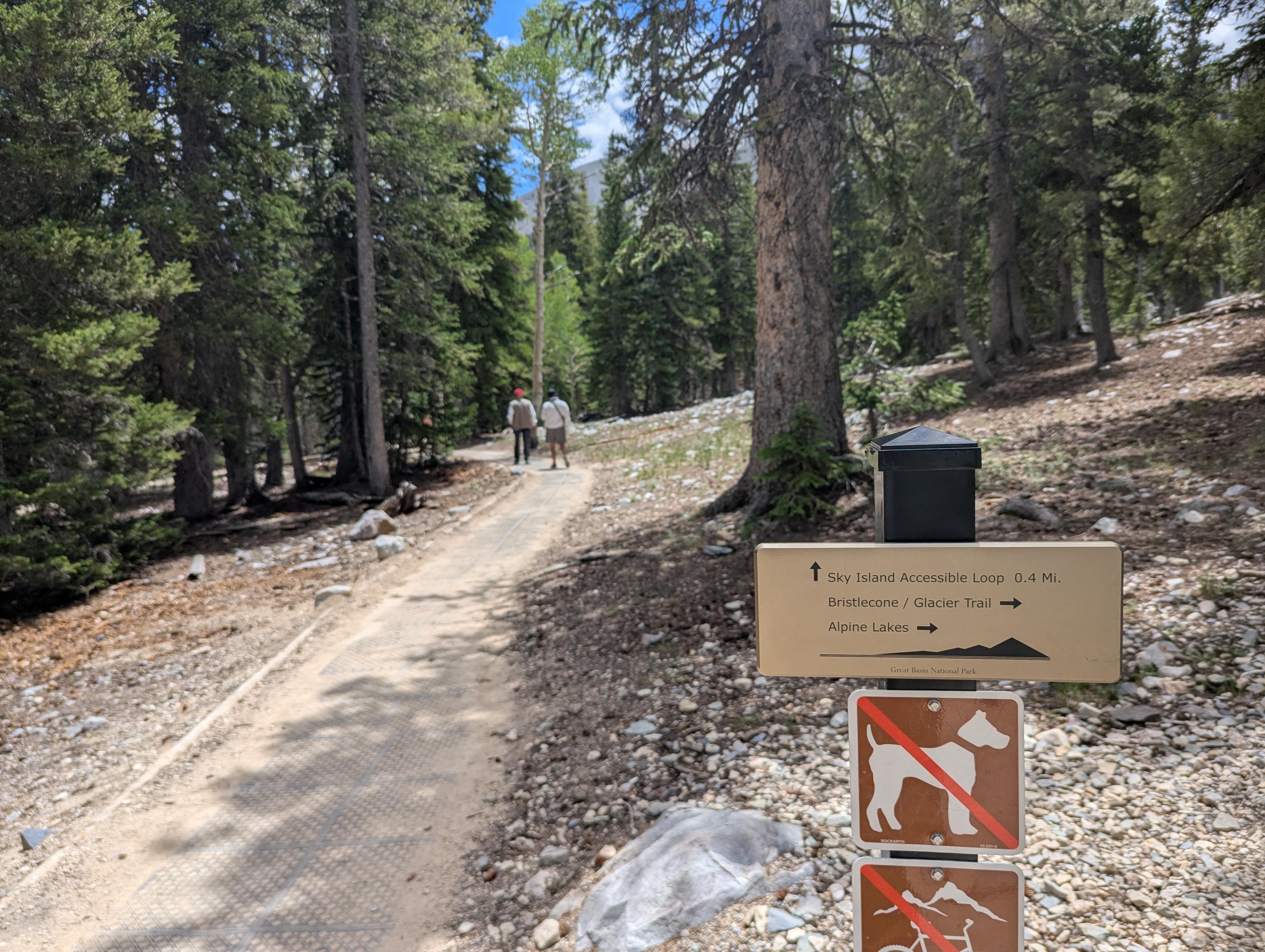
The junction to head to the loop.

Located right at the end of the paved Wheeler Peak Scenic Drive (around 10,000 feet in elevation), the Sky Island Forest Trail is one of the most accessible and peaceful ways to experience the high alpine country.

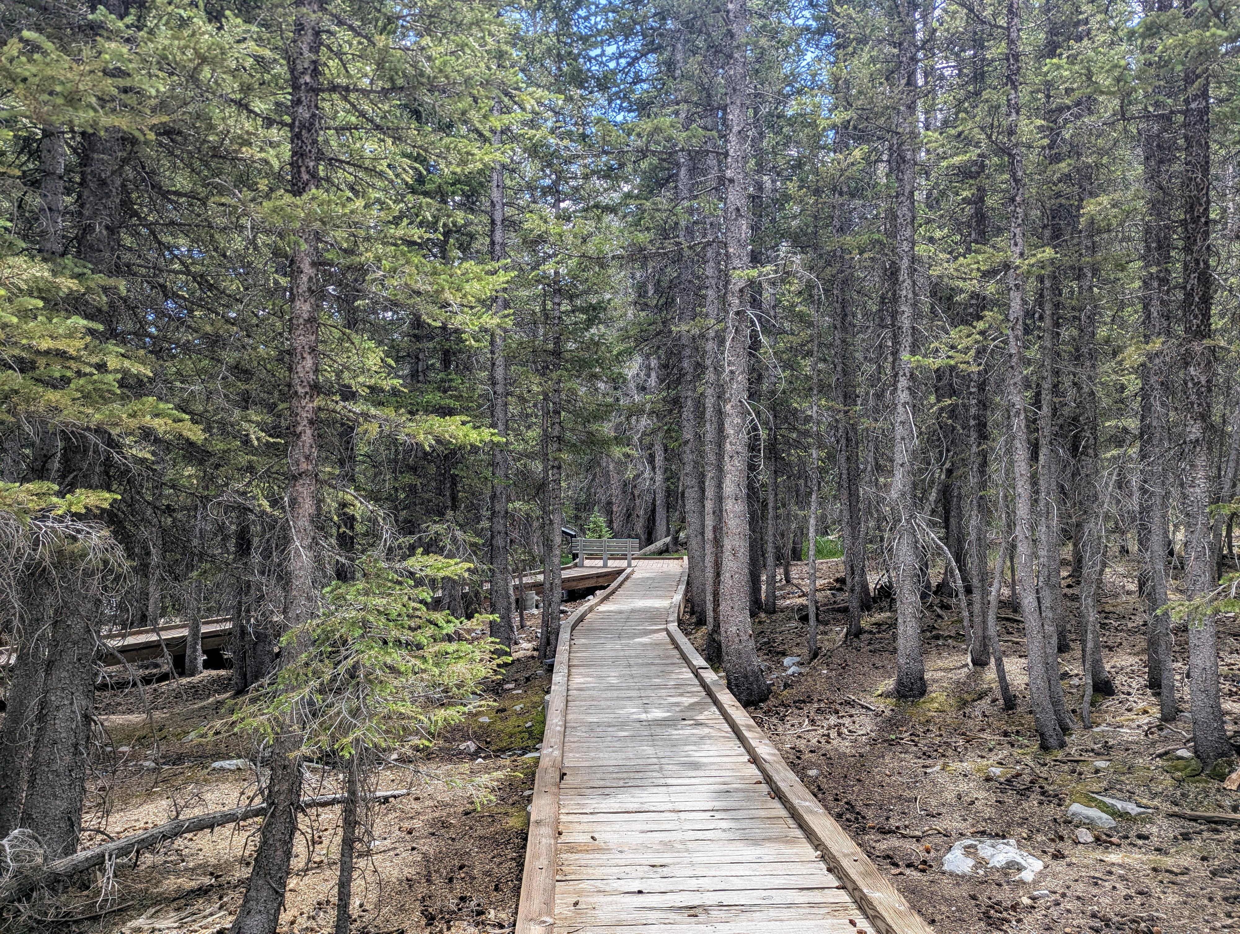
This 0.4-mile loop weaves through a dense subalpine forest of limber pine, white fir, and quaking aspens. Because it uses a combination of smooth, heavy-duty rubber matting and raised wooden boardwalks over trickling streams, the trail is fully ADA-accessible with virtually zero elevation gain—making it ideal for wheelchairs, strollers, or anyone needing an easy walk at high altitude.

Along the path, interpretive signs break down what makes a "Sky Island"- an isolated mountain refuge surrounded by an ocean of desert below - and point out peak views through the trees, alpine wildflowers, and the unique ecology of the Snake Range.
Note on Hiking at Elevation: This is a great choice for those looking for an easy, short hike, but also for those just coming to the area from lower elevations to get a sense of what hiking is like at over 10,000'. Hiking at high elevation can, literally, take your breath away! Take it slow, pack extra water, and keep an eye out for sudden afternoon mountain thunderstorms.
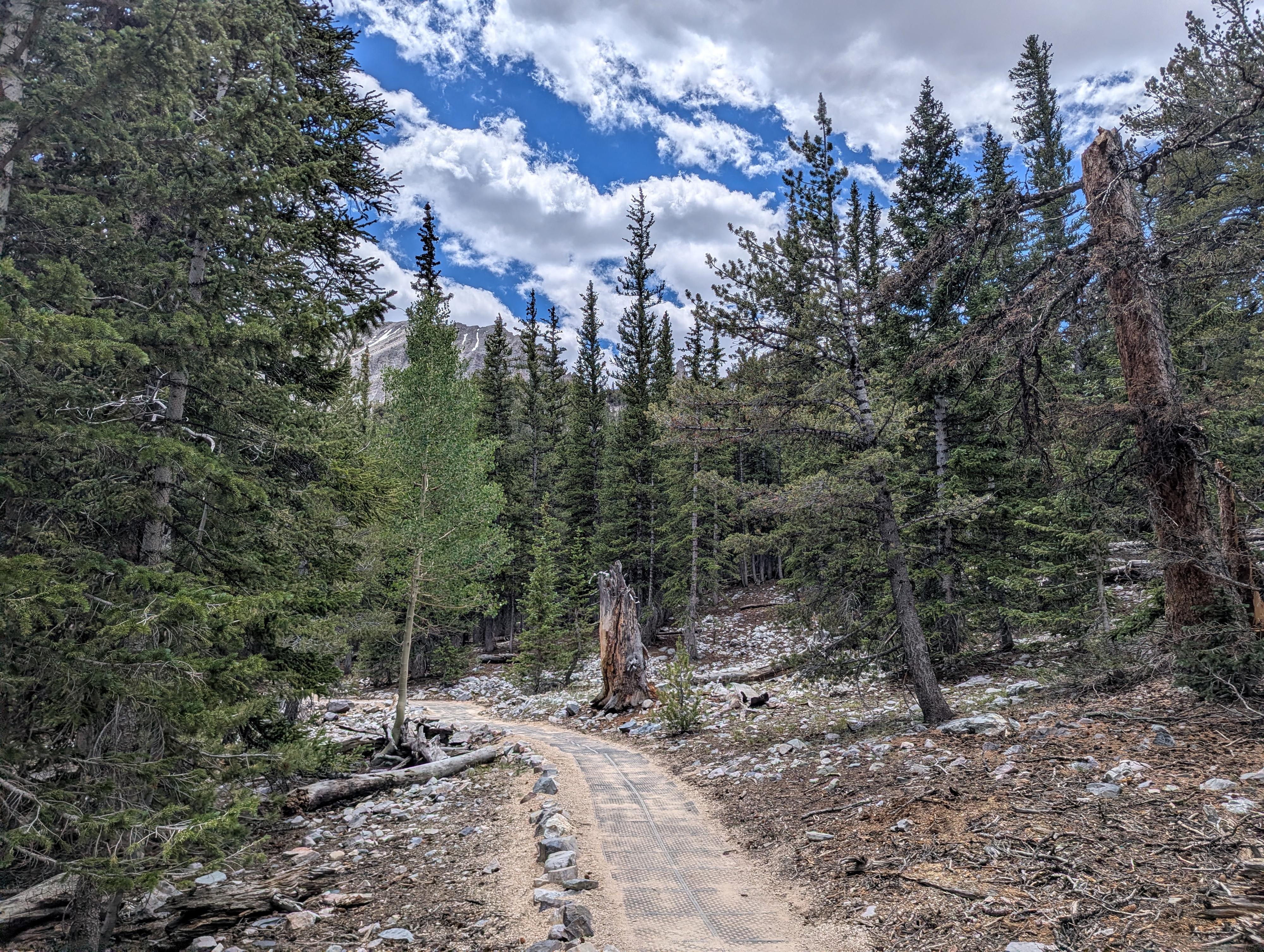
Wheeler Peak just poking above the trees.

Getting There

The trailhead is the Bristlecone Trailhead at the end of the Scenic Drive in Great Basin National Park. To get there, from downtown Baker, Nevada, head west on Lehman Cave Road (signed for Great Basin National Park) for about 4.8 miles, where you will turn right to follow the Scenic Drive up past the Lehman Creek campgrounds. This junction is right after entering Great Basin National Park.

Follow the scenic drive to its end in about 12 miles. Just before the Wheeler Peak Campground, there is a large parking area on the left that is the trailhead.
Parking Note: The trailhead is the start of several trails and also in a very scenic spot. It gets BUSY and can fill up early in the day. I would recommend an early start if visiting on a weekend or holiday.
Seasonal Note: The road to the trailhead is closed in the winter just above Upper Lehman Creek Campground. It is open to vehicles typically from late May or early June through late October depending on snowfall. Some people ski or snowshoe the road in the winter.
Love forest walking on the Sky Forest Trail

Route Description

From the parking area, cross the scenic drive to the trailhead across the road. It has a large sign and is just before entering the campground.

Follow the trail just a few minutes to a junction. Go left at the junction as the path goes a short distance and splits for a loop. Either direction for the loop works, and then it is a short walk back on the approach trail to the trailhead.


Photos

Maps
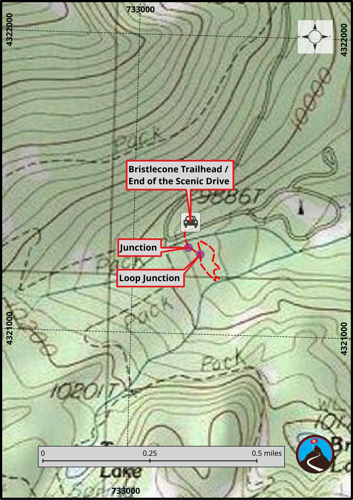
Route / 0.37 miles / Elevation Range 9,930 - 9,958 ft.
Printable Maps:

Bristlecone Trailhead / End of the Scenic Drive
11S 733190E 4321374N 39°00'37"N 114°18'25"W
Junction
11S 733185E 4321288N 39°00'34"N 114°18'25"W
Loop Junction
11S 733226E 4321266N 39°00'34"N 114°18'23"W

Comments