
 Pyramid Lake
Jasper Canada
Overview
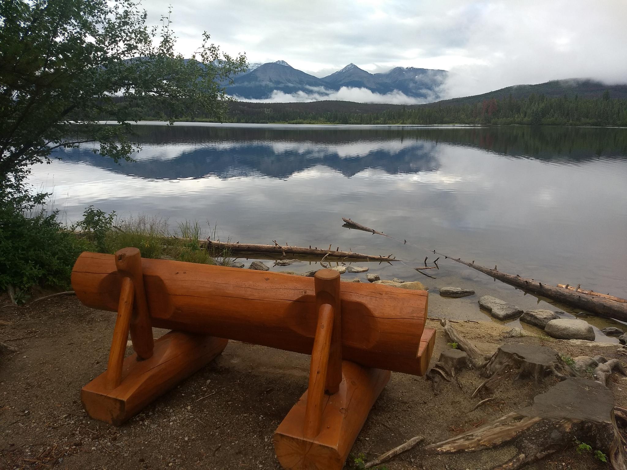
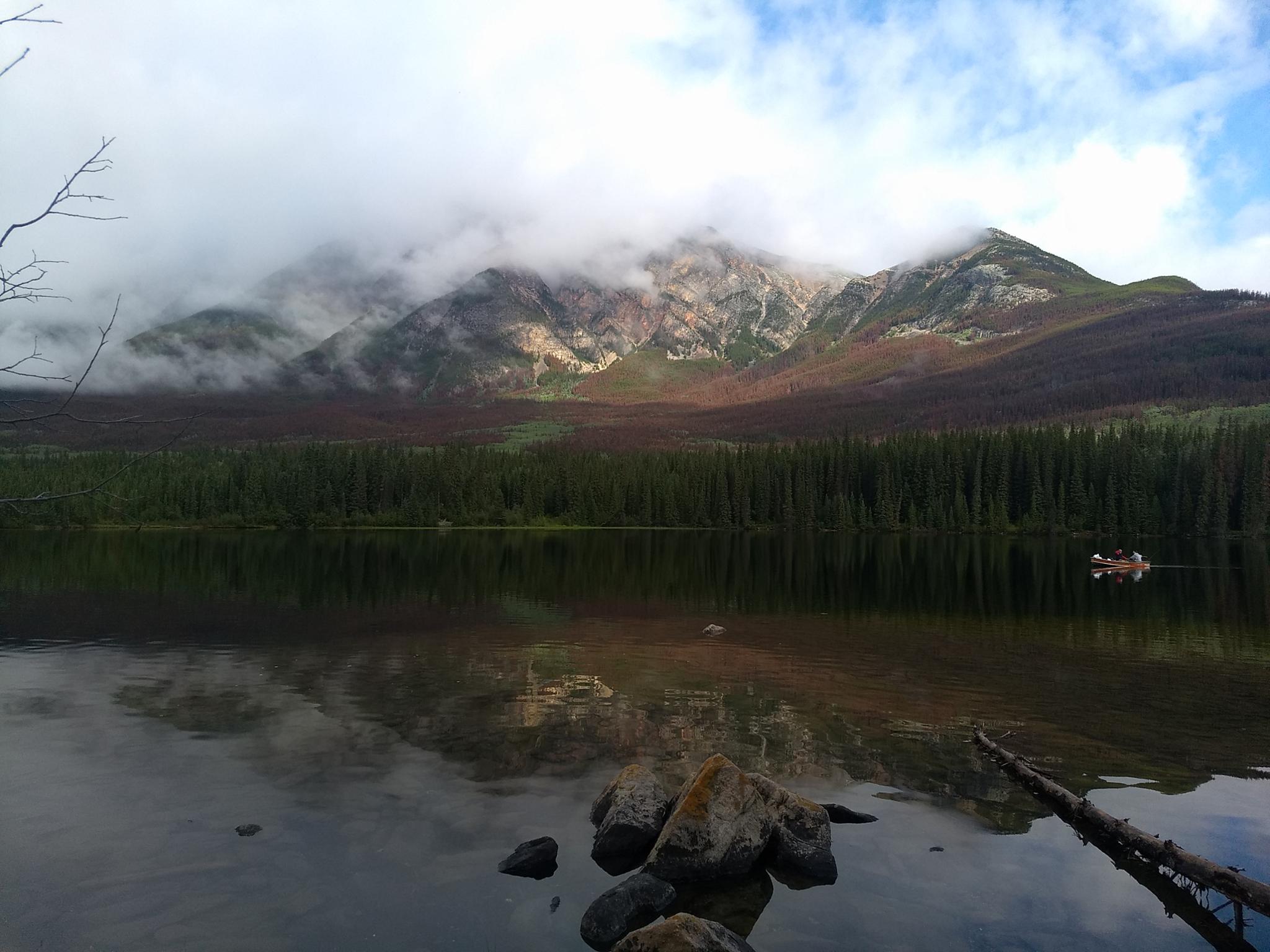
One of the many stunning lakes near Jasper, Pyramid Lake is stunning during the daytime. The lake is also the site to visit to see the stars. Its location provides an excellent dark sky that you can drive to just a few minutes from downtown Jasper.
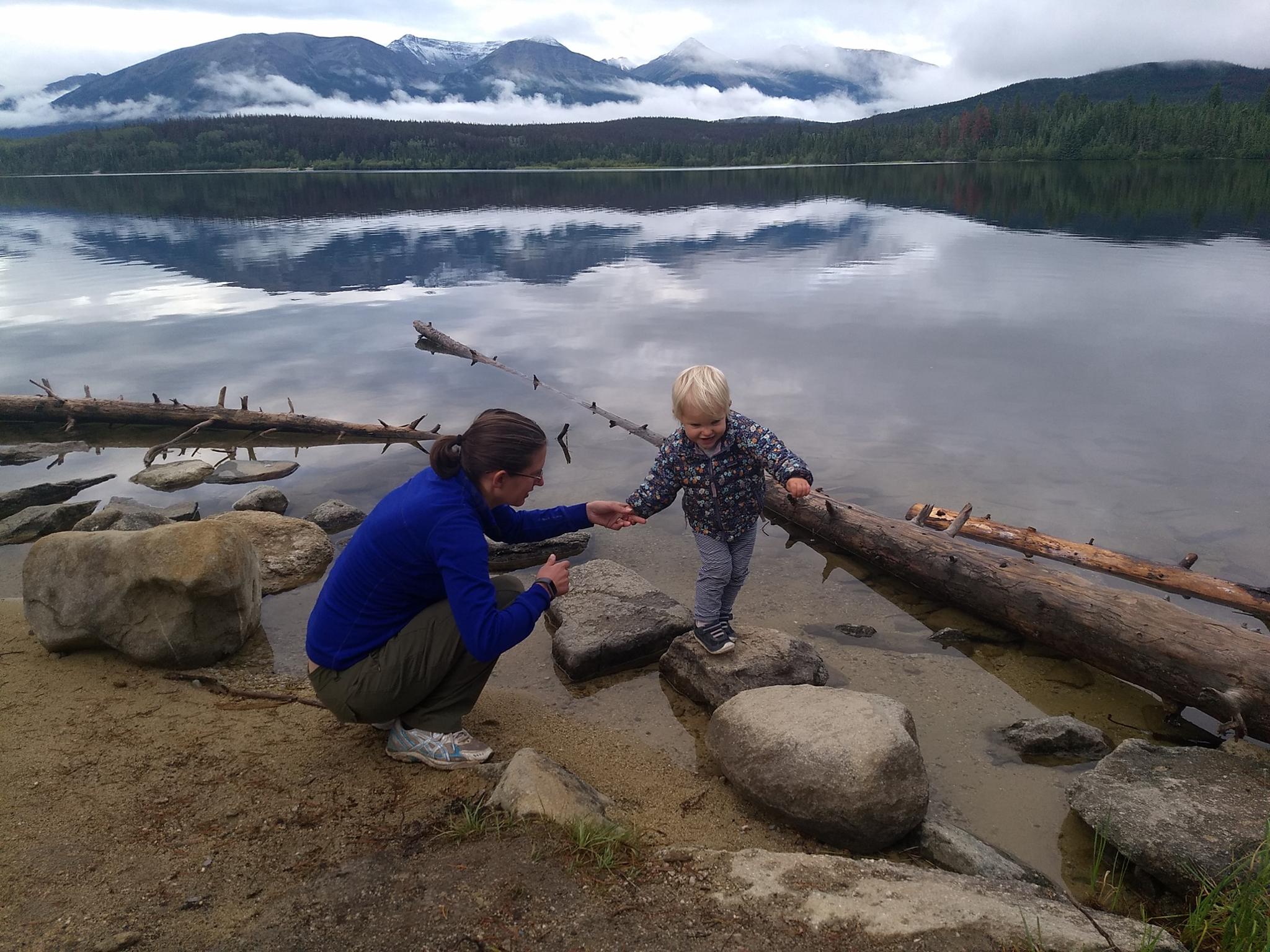
Pyramid Lake is one of the family-friendly sites near Jasper we enjoyed most. The beach provided hours of entertainment for our toddler, even though the water is quite frigid. The views and short hike to the island provided us with enjoyment.
Getting There
From downtown Jasper, head toward the north side of town, and turn left onto Pyramid Lake Road. Follow this 6 km to a junction. Left here are the beaches. Continue straight another 1.4 km to the parking area for the island trail.
Route Description
The beach is on the south side of the lake. When first reaching the lake, turn left. Several small beaches are available, or the end of the road has the largest and seemingly most used beach area.
As you continue past the side road to the beaches, there is a boat rental and resort. Not far past the resort is the island parking area. The trail to the island is short enough for most, and a stunning place to take in the views. The island is one of the favorite places for stargazing.
Need a longer hike? Continue to the end of the road. Beyond the paved road, an old dirt road continues up to an old fire lookup area and the high shoulder of Pyramid Peak. BEWARE, BEARS FREQUENT THE AREA! BEAR SPRAY AND KNOWLEDGE RECOMMENDED.
Maps

11U 425982E 5863494N
52°54'58"N 118°06'03"W
11U 426365E 5863290N
52°54'51"N 118°05'42"W
11U 426359E 5864364N
52°55'26"N 118°05'43"W