 Hiking
Lofty Lake Loop
Hiking
Lofty Lake Loop
Western Uintas
Overview
One of the things I love about the Uintas is how high many of the trailheads start. It is often not far to reach treeline and big views. Lofty Lake Loop lives up to its name and with a trailhead that starts at 10,148 feet, the hike is very approachable with great scenery in a 1/2 or 3/4 day hike. Though there are a couple of somewhat steep sections, total elevation gain is under 1000'.
The hike meanders through the forest before climbing near treeline with big views and rocky terrain as it ascends a ridge. The trail then passes Lofty Lake, climbs a small ridge, and descends back to the trailhead in a wonderful 4-mile loop. This is a highly recommended hike. Given the number of fishermen we saw at Kamas and Lofty Lake, fishing must be good or at least enticing.
Getting There
The trailhead is the Pass Lake Trailhead off the Mirror Lake highway. This is at mile post 32.1, which is 32.1 miles from Kamas Utah on highway 150, or about 45 miles south of Evanston Wyoming on highway 150. The trail will likely be very snowy until late June in most years.
The trailhead has a pit toilet and a large parking area a short distance off the Mirror Lake Highway. If full, there is overflow parking along the highway.
Route Description
From the trailhead, be sure to follow the trail on the south end of the parking lot, signed Cuberant Lake. Within a short distance, two spur trails leave on the left to go to the highway. Stay right at these minor junction. At 0.3 miles (5-10 minutes from the trailhead) a junction is reached with the left going to Holiday Park. Stay right toward Cuberant Lake. The trail meanders through Reids Meadow with Bald Peak visible to the south on the left and Reids Peak on the right.
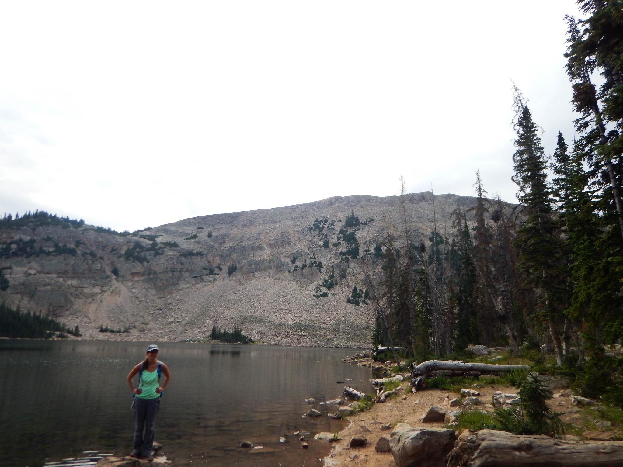
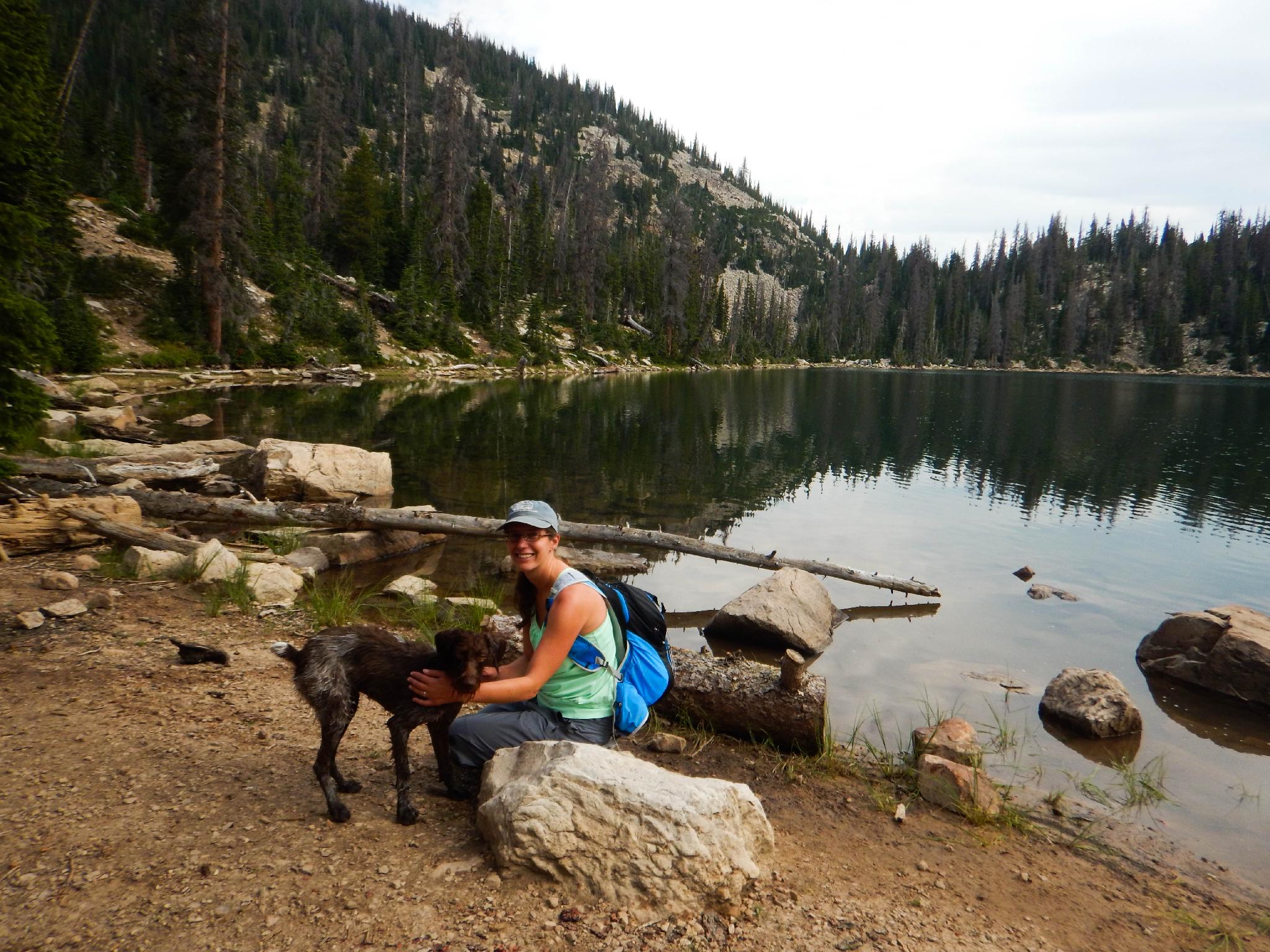
The trail then heads north and begins climbing modestly to the Cuberant Lake junction. Stay right here, reaching Kamas Lake 0.4 miles after the Cuberant Junction(15 minutes). Tucked at about treeline, Kamas Lake is cliff-walled and has several excellent campsites on the south and west shores.
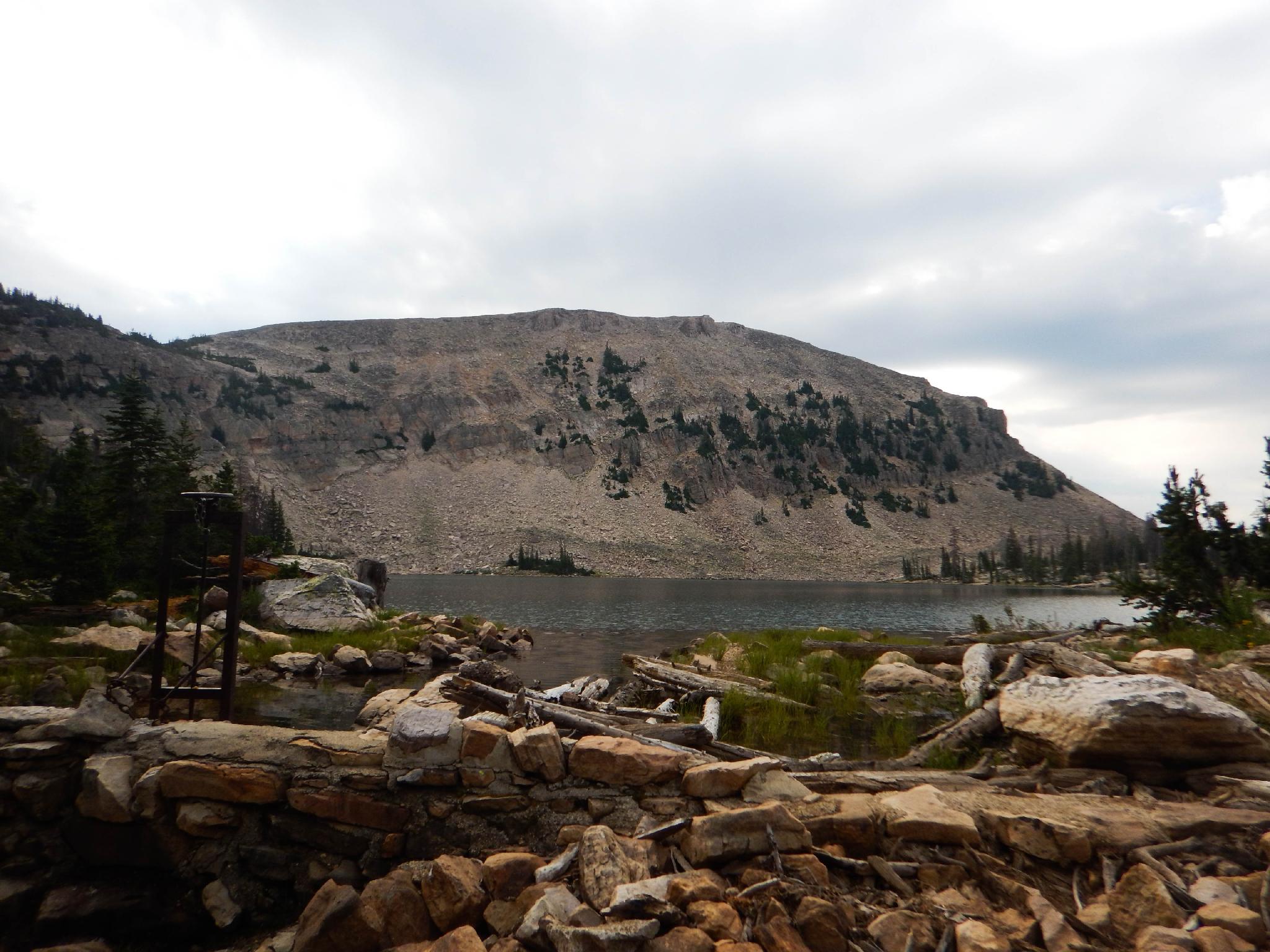
From Kamas Lake, the trail continues climbing to the ridge with views down into Cutthroat Lake, and the North Slope of the Uintas. An overlook here makes for a great lunch spot, before continuing up to Lofty Lake.
A short climb from Lofty Lake on the trail reaches the ridge and the start of the descent back to the trailhead. The trail reaches one final junction at Scout Lake. Go right. The trail crosses a dirt road, then begins descending back to the trailhead.
Maps

12T 509022E 4507011N
40°42'50"N 110°53'35"W
12T 508913E 4506933N
40°42'48"N 110°53'40"W
12T 508750E 4506886N
40°42'46"N 110°53'47"W
12T 508516E 4506868N
40°42'46"N 110°53'57"W
12T 507680E 4508098N
40°43'26"N 110°54'33"W
12T 508256E 4508456N
40°43'37"N 110°54'08"W
12T 508851E 4508714N
40°43'46"N 110°53'43"W
12T 509497E 4507855N
40°43'18"N 110°53'15"W
12T 509077E 4507032N
40°42'51"N 110°53'33"W