 Climbing
Tomsich Butte
Climbing
Tomsich Butte
San Rafael Swell
Overview
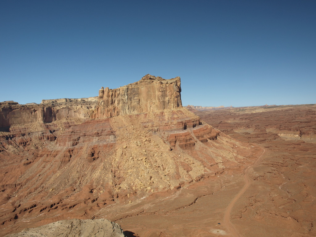
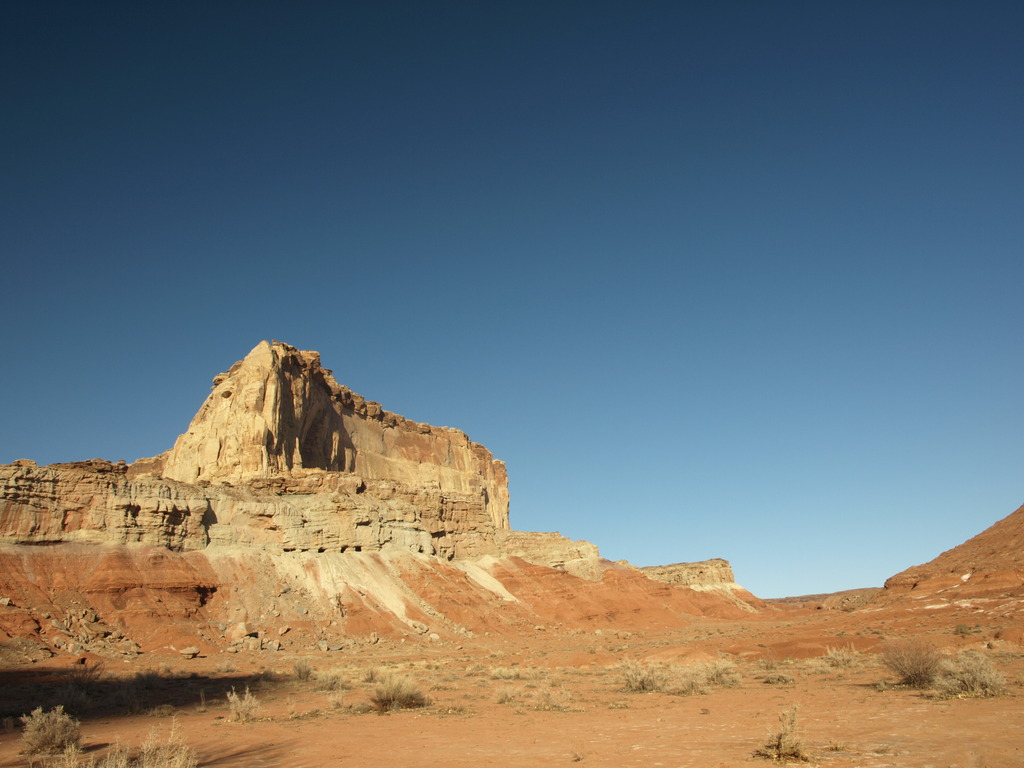
The Tomsich Butte area mines were started by John Tomsich in 1951 and are steeped in history. The area is a plethora of mining ruins, old cars, and even a lonely cabin. Mining commenced in the area during the 50's, ending in the late 50's or early 60's. Towering over Muddy Creek, Tomsich Butte proper, is a seldom visited summit with a surprisingly moderate route. The top provides outstanding views of Hondoo Arch, Muddy Creek, and the area of the Swell south of I-70.
The technical climbing is short (5 m ( 17 ft. )), but be warned, the climbing has a fair bit of loose rock. Helmets and caution are advised. The route is normally down climbed, but can be rappelled if needed. To rappel, however, you will need a 60 m ( 197 ft. ) rope, and 15 m ( 50 ft. ) of webbing. Be careful when choosing an anchor, many of the large blocks are loose.
Getting There
The easiest way to reach the trailhead is from I-70 between Green River and Salina.
Route Description
From the trailhead, and the old truck, follow the fading mining road west as it climbs. Shortly after passing a mine (10 minutes), the road splits after a large rockslide has fallen on it. Right goes down, traversing along Tomsich Butte. Go left instead, up the ever worsening mining road. At the end of the mining road, the route is directly in front of you on the hill, just right of a huge boulder. It is the only reasonable looking route.
Start by scrambling (4th class) about 5 meters to a small boulder and start of the steep section of crack. The crack protects well with a few cams from 0.5 to 1.5 inches. Once above the technical climbing, beware of knocking loose rocks down. Belay wherever is convenient, likely by a large boulder on the left.
The technical climbing is done, scramble 4th class up the loose slope to the cliff band. Once at the cliff band, go right (west) on a ledge around the corner. There is a large detached boulder that allows relatively easy access to the summit (lower 5th class). Another option is to continue on the ledge to the west side, were a slightly easier, yet very exposed path leads to the summit.
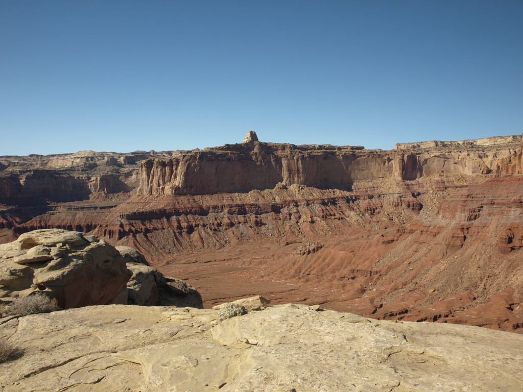
From the top, amazing views of the Swell in all directions are available.
Reverse your route.
Maps

12S 501355E 4282386N
38°41'24"N 110°59'04"W