 Hiking
Willow Springs
Hiking
Willow Springs
Red Rock Canyon Conservation Area
Overview
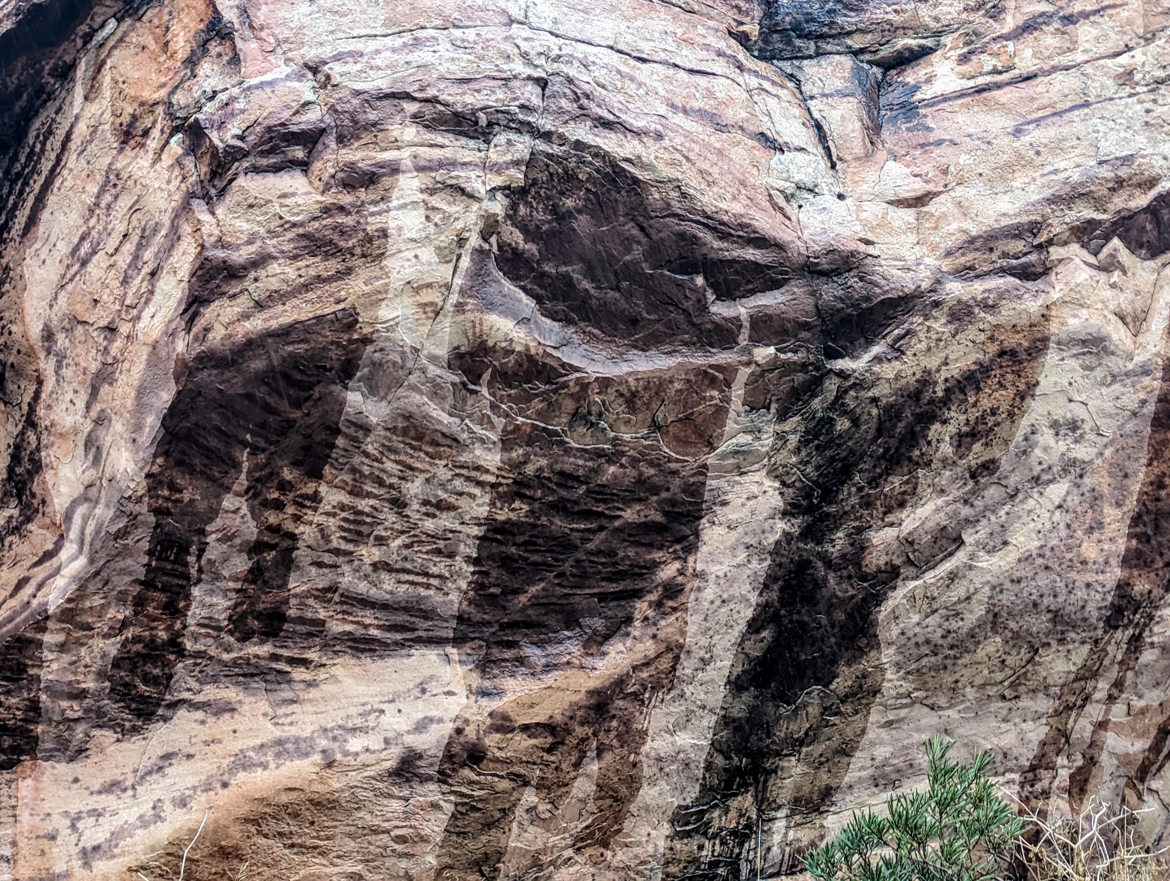
Willow Springs in Red Rocks Conservation Area is a stunning natural oasis, nestled within the rugged Red Rocks landscape. Willow Springs is a picturesque desert oasis, where a scattering of willow trees thrives among the springs, creating a verdant contrast to the surrounding arid environment. This is a place that ancient peoples used, and left pictographs.
Today, several short trails traverse the area, as well as a large parking area, picnic tables and restrooms. This is an excellent spot to have a picnic and do some short hikes.
Timed entry reservations can be made at Recreation.gov by visiting https://www.recreation.gov/timed-entry/10075177, or by calling (877) 444-6777.
Getting There
From the Red Rock Canyon fee booth, follow the scenic drive 7.2 miles to where the Rocky Gap/Willow Springs road leaves on the right. Follow the road 0.6 miles to the large Willow Springs picnic area and trailhead parking.
Route Description
Rock art and historic sites are fragile, non-renewable cultural resources that, once damaged, can never be replaced. To ensure they are protected, please:
- Avoid Touching the Petroglyphs: Look and observe, BUT DO NOT TOUCH!
- Stay on the Trails: Stay on the most used trails when visiting sites, and don't create new trails or trample vegetation.
- Photography and Sketching is Allowed: Do not introduce any foreign substance to enhance the carved and pecked images for photographic or drawing purposes. Altering, defacing, or damaging the petroglyphs is against the law -- even if the damage is unintentional.
- Pets: Keep pets on a leash and clean up after them.
- Artifacts: If you happen to come across sherds (broken pottery) or lithics (flakes of stone tools), leave them where you see them. Once they are moved or removed, a piece of the past is forever lost.
Petroglyph Wall Trail (about 0.3 of a mile round-trip)
From the north end of the parking area, where the road turns to dirt, follow the signed Petroglyph Wall trail. It heads west, crosses the wide wash, and reaches the cliff wall and a petroglyph panel in just a few short minutes. The area is fenced to protect the rock art. Though tempting, please don't go beyond the fence.
Willow Springs Loop Trail (about 1.5 miles with the dry fall side trip)
Across from the picnic area, the Willow Springs Loop trail leaves on the west side of the road. Follow the trail as it crosses the wash and contours along the base of the cliffs. The Discover Trail joins from the left, stay right soon Lost Creek where it comes in on the right. There is a pictograph panel here on the right where the trail contours around into Lost Creek. This is a minute or so before the trail descends into Lost Creek and reaches a junction.
Dry fall side trip
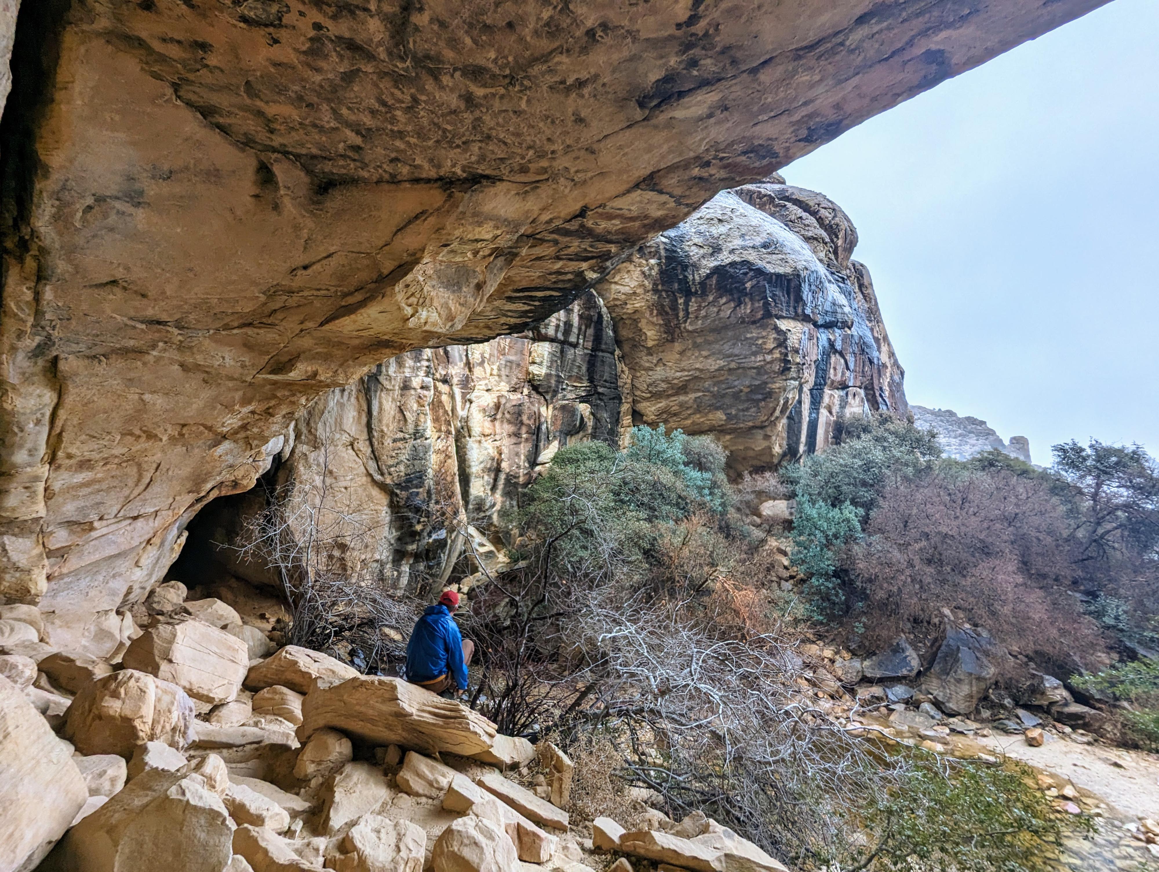
From the junction, it is worthwhile to go right, hiking up the bottom of Lost Creek. Just a few minutes up, the canyon is blocked by a dry fall with overhanging cliffs. A lovely spot that, depending on the time of year and recent storms, may actually be a flowing waterfall.
Willow Springs Loop Continue
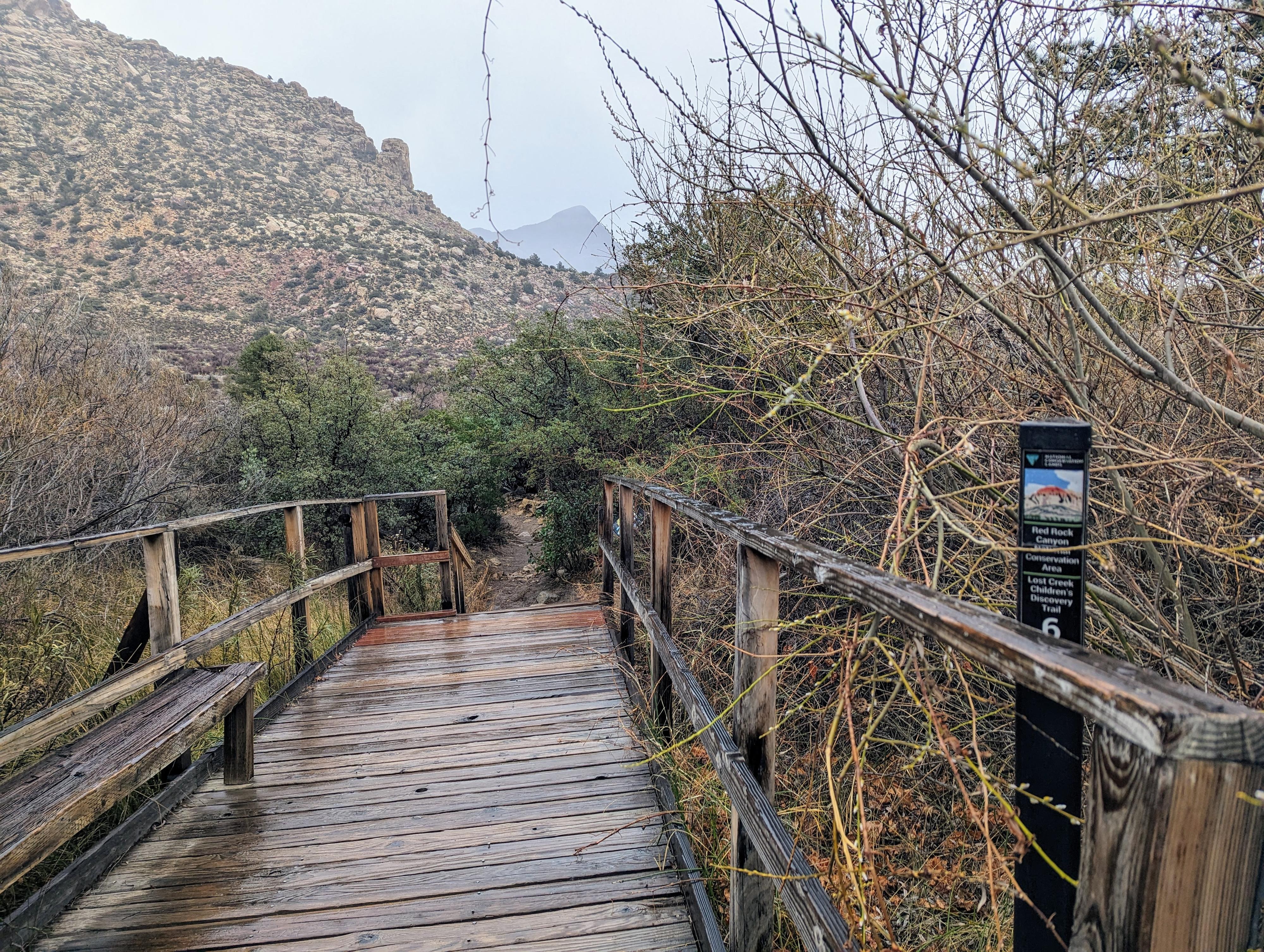
Go left to continue on the Willow Springs Loop when you reach the Lost Creek junction. The trail crosses, via a boardwalk, a riparian area before passing the SMYC trail that leaves on the right and reaching the main road and alternate trailhead.
Cross the road and pickup the Willow Springs Loop trail on the other side. It begins heading north. Ignore the White Rock Loop trail that leaves on the right. Just about the time you reach the picnic area and trailhead, a pictograph panel on the right. The panel, which consists of handprints, is behind a fence, and just right of a crack between two sandstone formations. It may take a minute or two to spot.
The trailhead is just beyond the panel.
Photos
Maps

11S 635036E 4002843N
36°09'39"N 115°29'55"W
11S 634851E 4002846N
36°09'40"N 115°30'03"W
11S 635102E 4002282N
36°09'21"N 115°29'53"W
11S 635158E 4002456N
36°09'27"N 115°29'51"W
11S 635214E 4002378N
36°09'24"N 115°29'49"W
11S 635199E 4002322N
36°09'22"N 115°29'49"W
11S 635417E 4002432N
36°09'26"N 115°29'40"W
11S 635483E 4002464N
36°09'27"N 115°29'38"W
11S 635502E 4002549N
36°09'30"N 115°29'37"W
11S 635155E 4002771N
36°09'37"N 115°29'51"W