
 Armstrong Redwood Preserve
Northern California
Overview
Tucked between the coast to the west and wine country to the east, Armstrong Redwoods is a beautiful preserve. The preserve was the idea of Colonel James Armstrong in the 1870's when he became aware of the vast scale of redwood logging that was occurring. His vision was continued by his family with Sonoma County purchasing the land to set aside for preservation in 1917. The state now owns and manages the preserve.
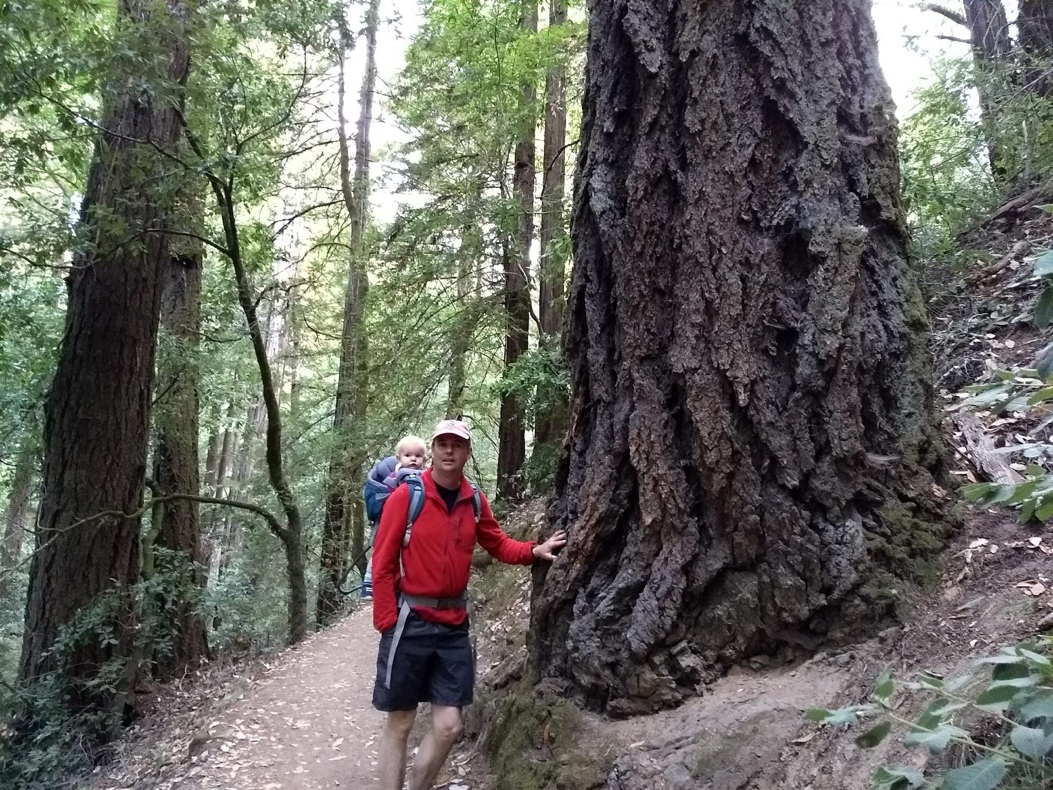
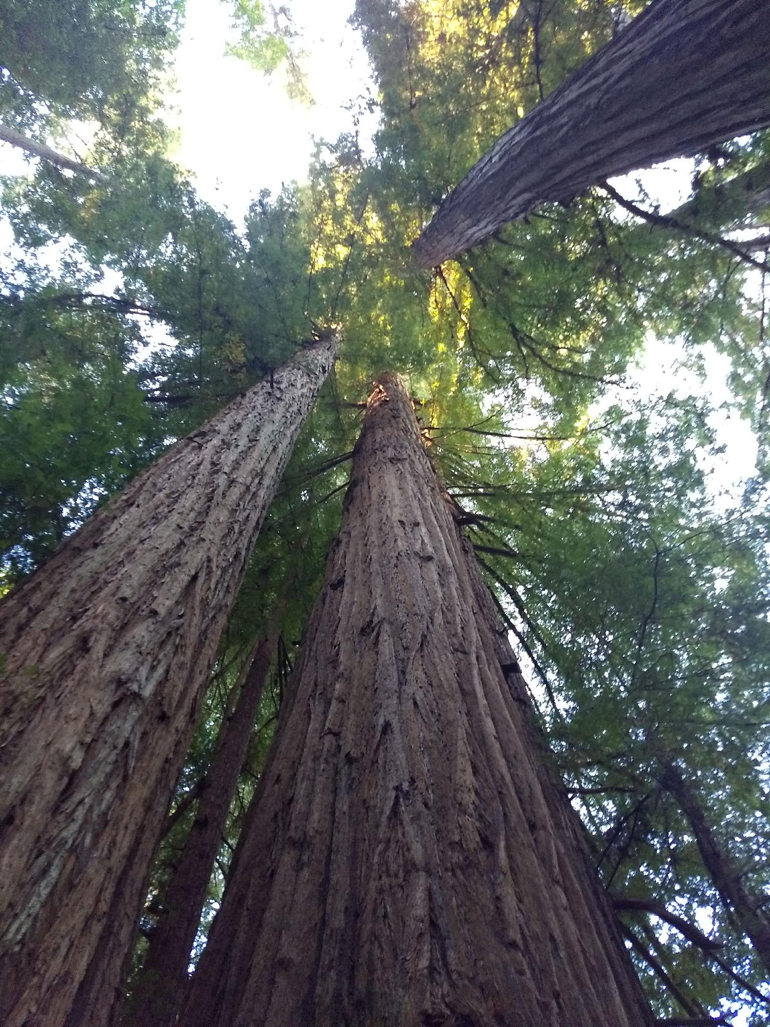
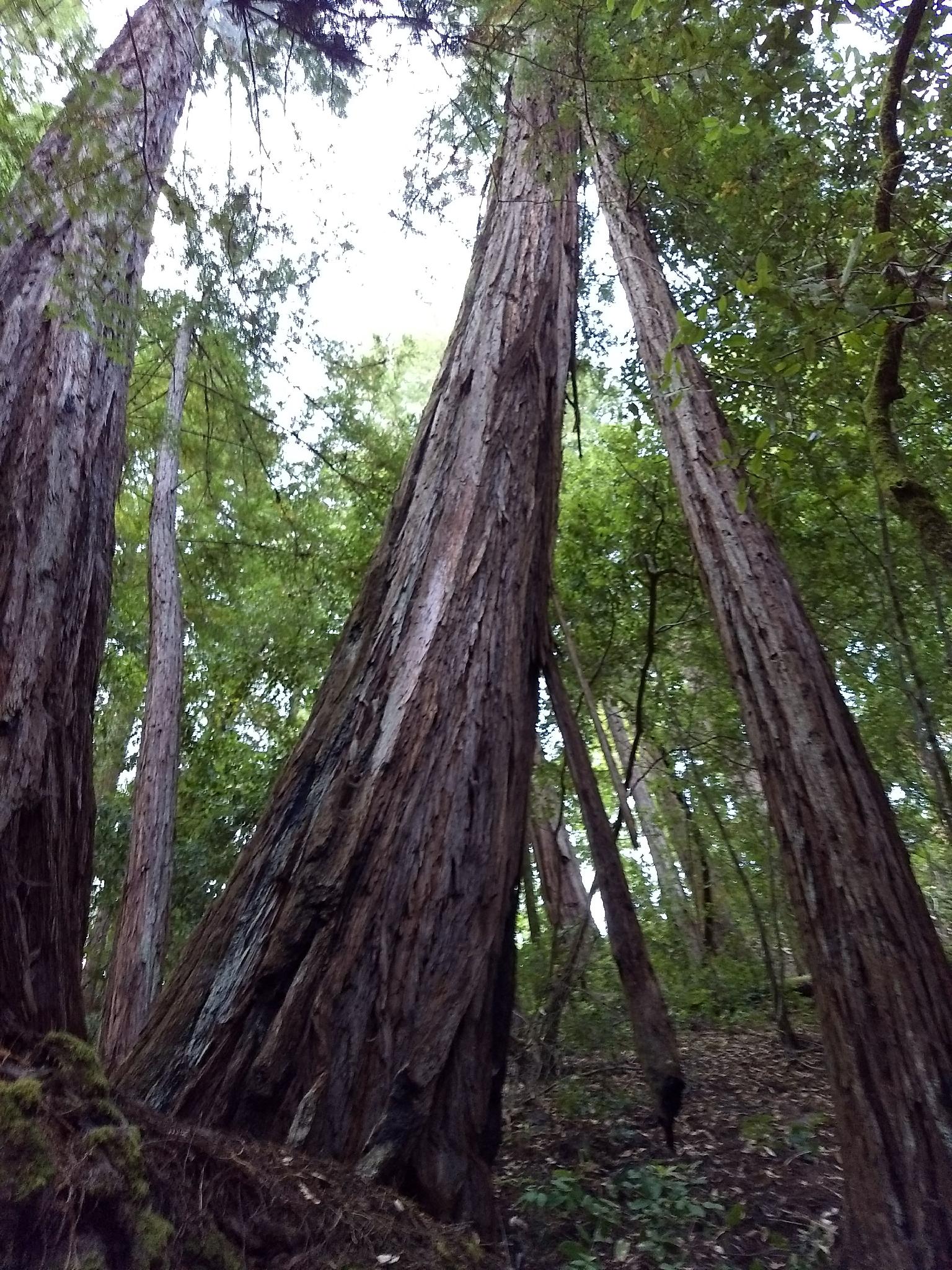
The preserve contains trees as old as 1400 years and as tall as 310'. It is a stunning place to visit with trails for all abilities. The beauty of the preserve initially struck me, but also the incredible silence and solitude found away from the central park roads.
Getting There
The preserve is about 30 minutes northwest of Santa Rosa CA or about an hour and a half from San Francisco. Reach the small town of Guernville, along the Russian River, then head north on Armstrong Woods Rd a few minutes to the entrance of the park.
There is no camping in the preserve, but several paid camping area near Guernville, along the Russian River.
Route Description
The park contains trails for all abilities. The loop shown on the map is my recommendation. It ventures away from the park roads on the East Ridge Trail, then meanders down through the park proper visiting the most significant and oldest trees along the way.
From the park entrance, follow the East Ridge Trail. This trail starts with a steep climb to the ridge. Once on the ridge, the trail meanders north to a junction with the Waterfall Trail. Be sure to head left here, as the trail quickly descends to a waterfall on Fife Creek that may not be flowing in drier seasons.
Below the falls, the trail reaches the picnic area and restrooms. From the picnic area, head south and pick up the Pioneer Nature Trail. At the Icicle Tree, I recommend going right on the Armstrong Nature Trail. This will take you to Colonel Armstrong Redwood, the tallest redwood in the park.
From Colonel Armstrong Redwood, follow the Discovery Trail back to the Pioneer Nature Trail, then right on the Pioneer Nature Trail back to the visitor center parking lot.
Maps

10S 499754E 4264898N
38°31'57"N 123°00'10"W
10S 500083E 4266132N
38°32'37"N 122°59'57"W
10S 499937E 4266232N
38°32'40"N 123°00'03"W
10S 499604E 4265565N
38°32'19"N 123°00'16"W
10S 499583E 4265557N
38°32'18"N 123°00'17"W
10S 499373E 4265419N
38°32'14"N 123°00'26"W
10S 499607E 4265315N
38°32'11"N 123°00'16"W
10S 499654E 4265062N
38°32'02"N 123°00'14"W