
 Hiking
Auger Falls
Hiking
Auger Falls
Twin Falls
Overview

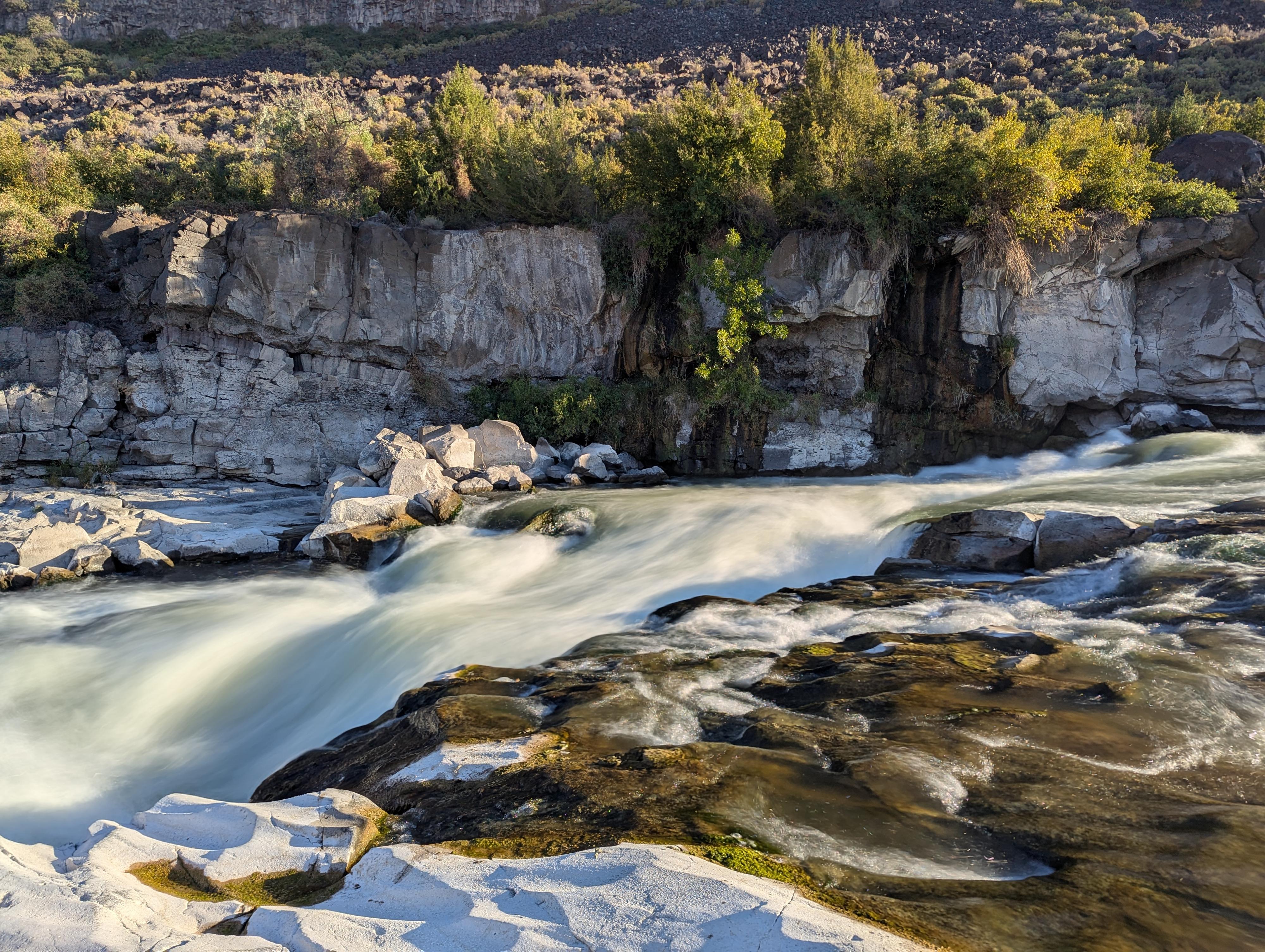
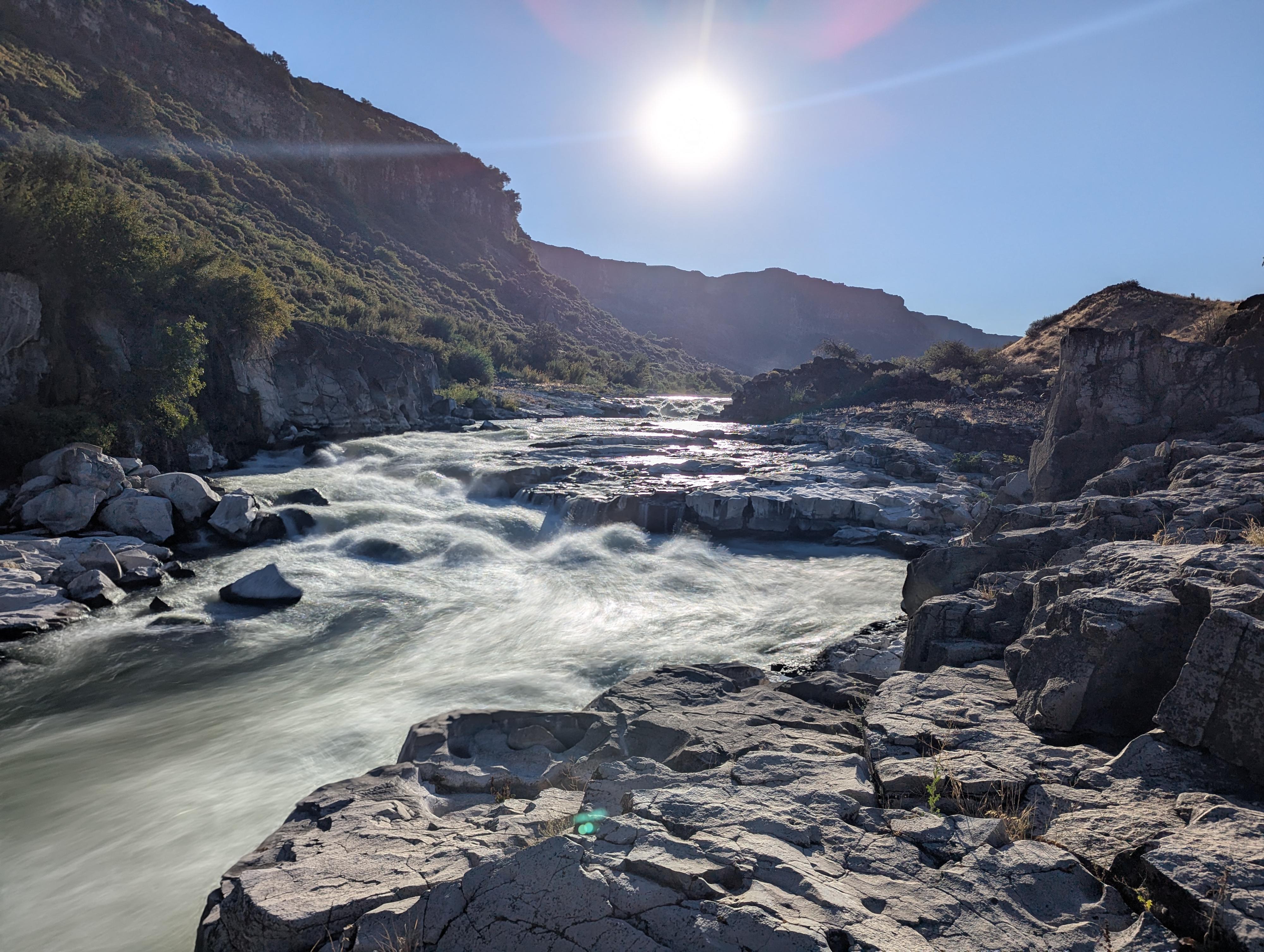
Auger Falls, in contrast to many of the other falls in the area, isn't a single tall waterfall. Instead, it is a set of falls in the river course where the river loses elevation quickly in a series of short steps. We were looking for a morning hike, and this was recommended. The falls are pretty, but not nearly as dramatic to my eye as many other falls in the area.
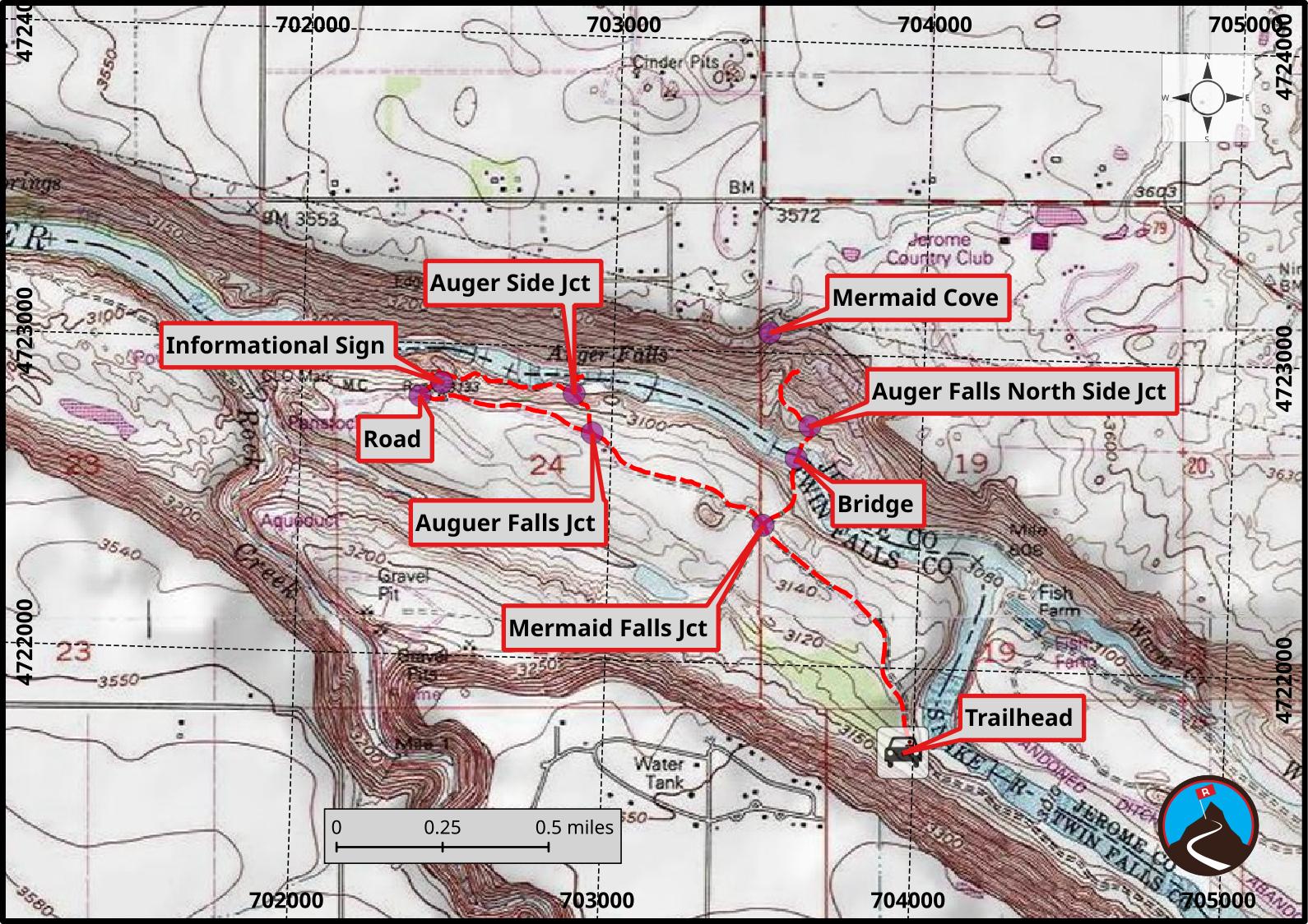
The falls are part of Auger Falls Heritage Park, a 680-acre natural recreation area along the Snake River downstream a few miles from Centennial Waterfront Park. The park has a fairly extensive set of mountain biking and hiking trails. On our visit we saw about a 50/50 mix of hikers and bikers. The area has had many uses over the years before becoming a park in 2014. The trails criss-cross the area, and there are many options for loops or more miles depending on your motivation. Described here was our 4-mile outing to the falls and to Mermaid Cove, mostly using the old dirt roads.
Getting There
The put-in is at Centennial Waterfront Park. When coming into Twin Falls from US-93, cross the Perrine Bridge.
About 1/2 mile after the bridge, turn right onto Canyon Springs Road. This is on a bend, BEFORE US-93 turns due south.
Follow Canyon Springs road for about 4 miles to its end. It heads north, then west and then descends down ito the canyon. At about the bottom of the canyon, continue on it. It turns to a good dirt road for the last 1.8 miles where it ends at the trailhead.
Route Description
From the trailhead, follow the gated dirt road that continues past the trailhead. Follow this dirt road for about 0.6 miles to where it comes to a 4-way intersection.
Mermaid Cove Side Trip
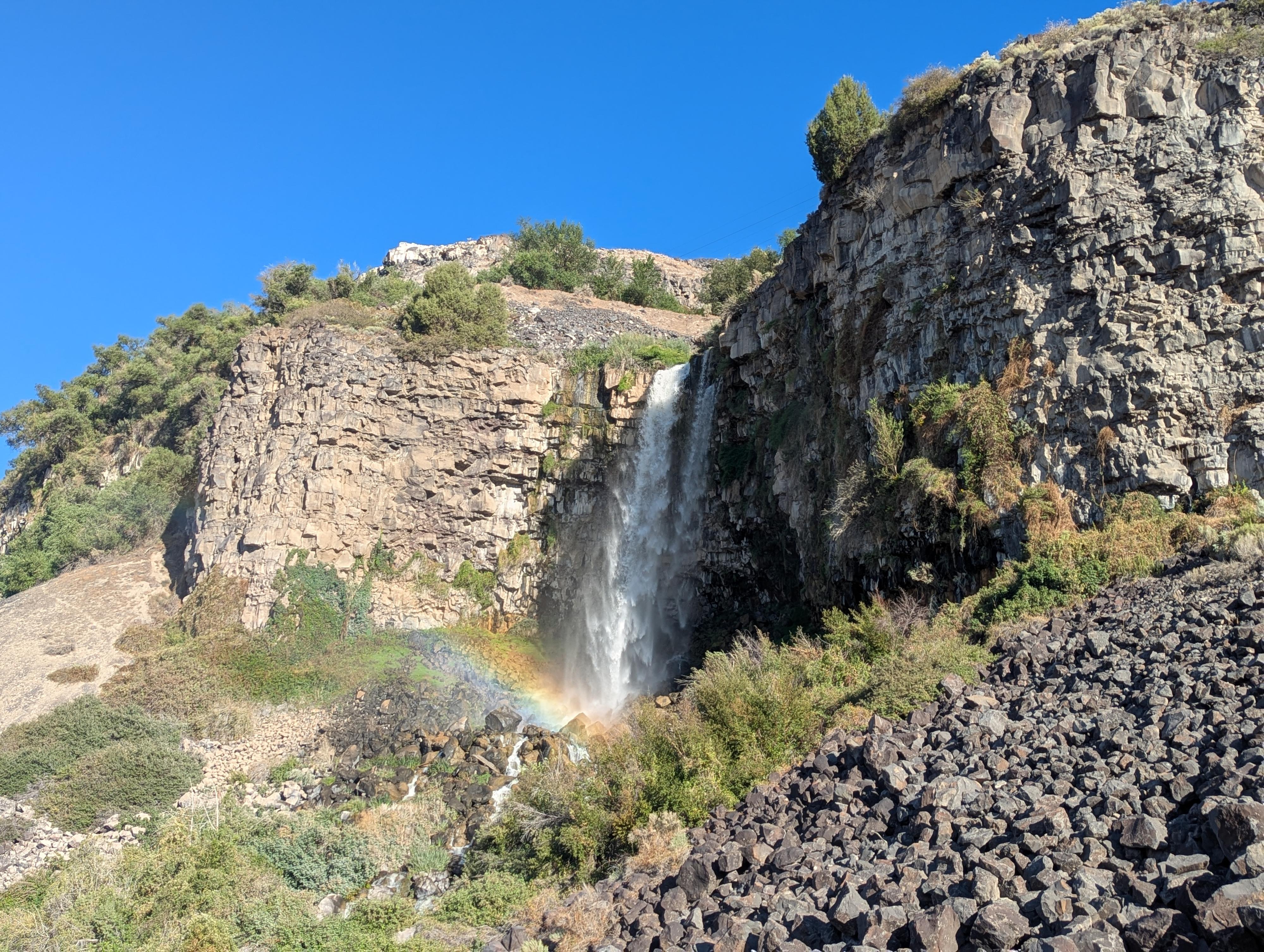
If you go right at this 4-way intersection, a road goes down to and crosses the Snake River here via a bridge. This can be impassable in high water but an easy path in low water. On the north side of the river here is the waterfall known as Mermaids Cove. A social trail climbs up the right (east) side of the falls and up to the rim. We had heard you could hike up to and behind the Mermaids Cove Waterfall, but the social trails we tried from the east side all ended in very dense vegetation.
Note: Once across the bridge, on the north side of the river, if you head west (downstream) on the most used trail, it follows the river and ends up on the north side of Auger Falls at a bench and overlook.
Auger Falls via the South Side
From the 4-way junction, stay straight on the dirt road. In about 1/4 of a mile, the dirt road splits. Go right here, then keep an eye out for a single track that leaves on the right.
Follow the single track down, heading toward the river at each junction, to reach Auger Falls.
We continued downstream on the trail nearest the river, then circled up back to the road, or you can just return the way you came.
Photos
Maps
11T 703967E 4721728N
42°37'16"N 114°30'46"W
11T 703497E 4722445N
42°37'39"N 114°31'06"W
11T 703596E 4722663N
42°37'46"N 114°31'01"W
11T 702938E 4722725N
42°37'49"N 114°31'30"W
11T 702876E 4722850N
42°37'53"N 114°31'33"W
11T 702449E 4722873N
42°37'54"N 114°31'51"W
11T 702380E 4722829N
42°37'53"N 114°31'55"W
11T 703500E 4723064N
42°37'59"N 114°31'05"W
11T 703637E 4722767N
42°37'50"N 114°30'60"W