
 Canyon Pintado
Rangely Colorado
Overview
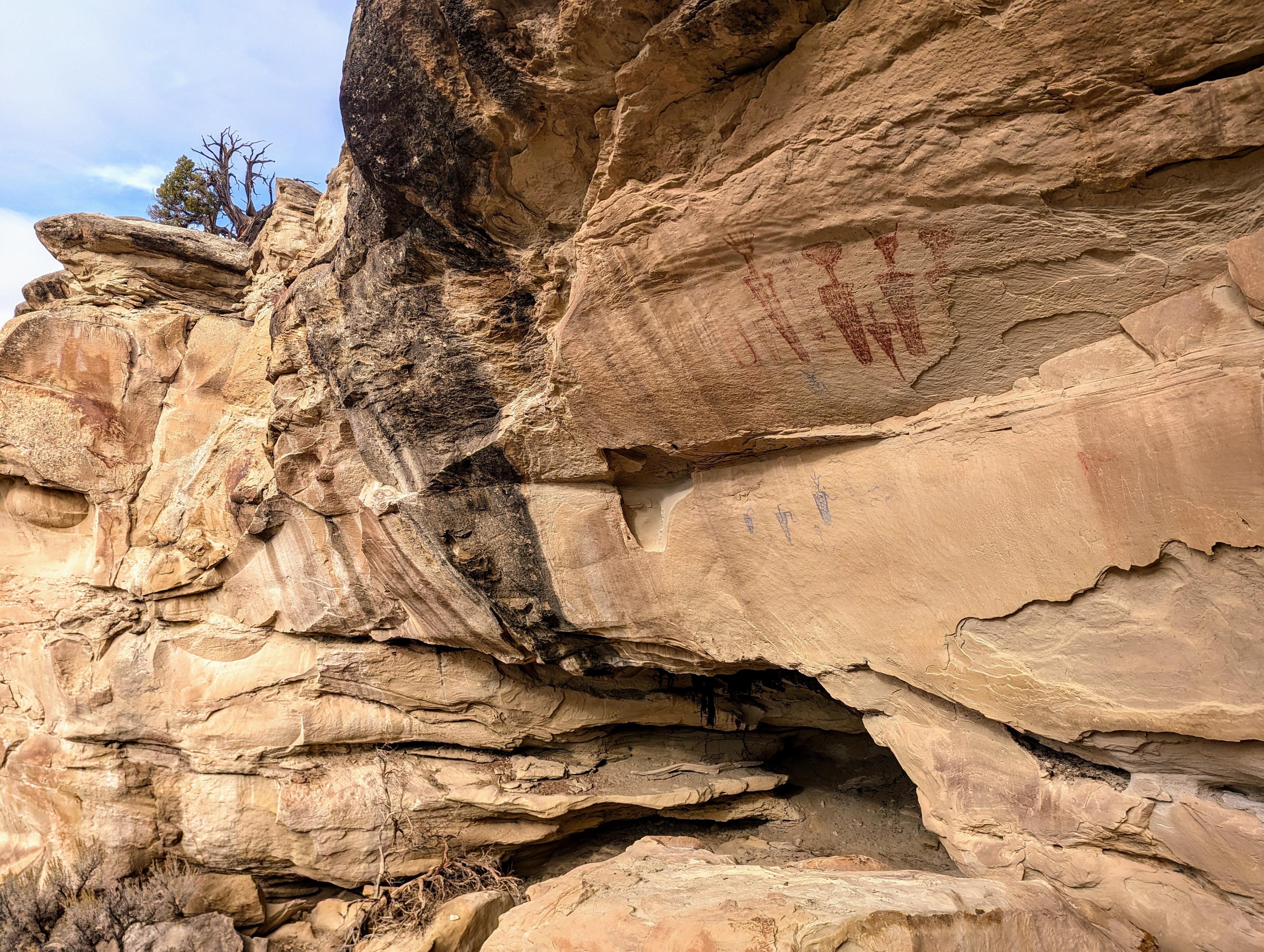
Canyon Pintado, located in the northwestern part of Colorado near the town of Rangely, is a historic and archaeological area filled with rock art and cultural remnants. Named "Painted Canyon" for its abundance of rock art, the area is home to thousands of petroglyphs and pictographs left by the Fremont and Ute peoples, dating back over a thousand years. These intricate and symbolic drawings offer insight into the lives, beliefs, and stories of the Indigenous people who once inhabited the region. Canyon Pintado lies within an expanse of sandstone cliffs, mesas, and valleys that constitutes the protected Canyon Pintado National Historic District.
Most of the sites require very short hikes to visit, and it is possibly to visit all the sites in a half-to-full day. Those interested in spending some time at the sites might want to budget a couple of days. We spent an afternoon visiting some sites, camped in Rangely, and visited more sites the next day. I thought breaking it up was a nice way to visit.
"Halfway down this canyon toward the south, there is a very high cliff on which we saw crudely painted three shields or chimales and the blade of a lance. Farther down on the north side we saw another painting which crudely represented two men fighting. For this reason we called this valley Cañon Pintado."
-Fray Escalante
Getting There
See the description below for driving directions. The trip assumes starting in Rangely Colorado.
Route Description
Rock art and historic sites are fragile, non-renewable cultural resources that, once damaged, can never be replaced. To ensure they are protected, please:
- Avoid Touching the Petroglyphs: Look and observe, BUT DO NOT TOUCH!
- Stay on the Trails: Stay on the most used trails when visiting sites, and don't create new trails or trample vegetation.
- Photography and Sketching is Allowed: Do not introduce any foreign substance to enhance the carved and pecked images for photographic or drawing purposes. Altering, defacing, or damaging the petroglyphs is against the law -- even if the damage is unintentional.
- Pets: Keep pets on a leash and clean up after them.
- Artifacts: If you happen to come across sherds (broken pottery) or lithics (flakes of stone tools), leave them where you see them. Once they are moved or removed, a piece of the past is forever lost.
Camel Ridge Site
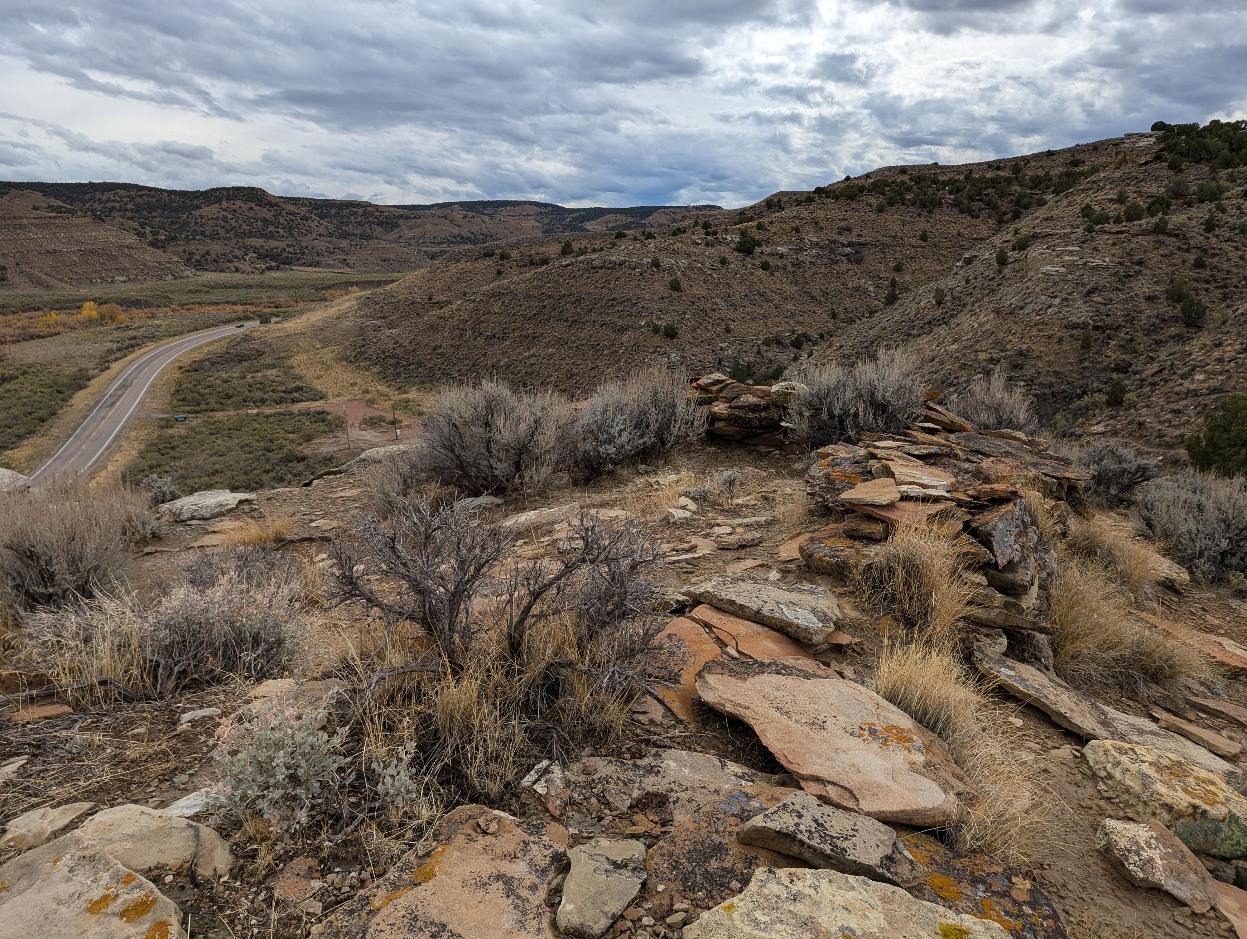
View from Lookout Point
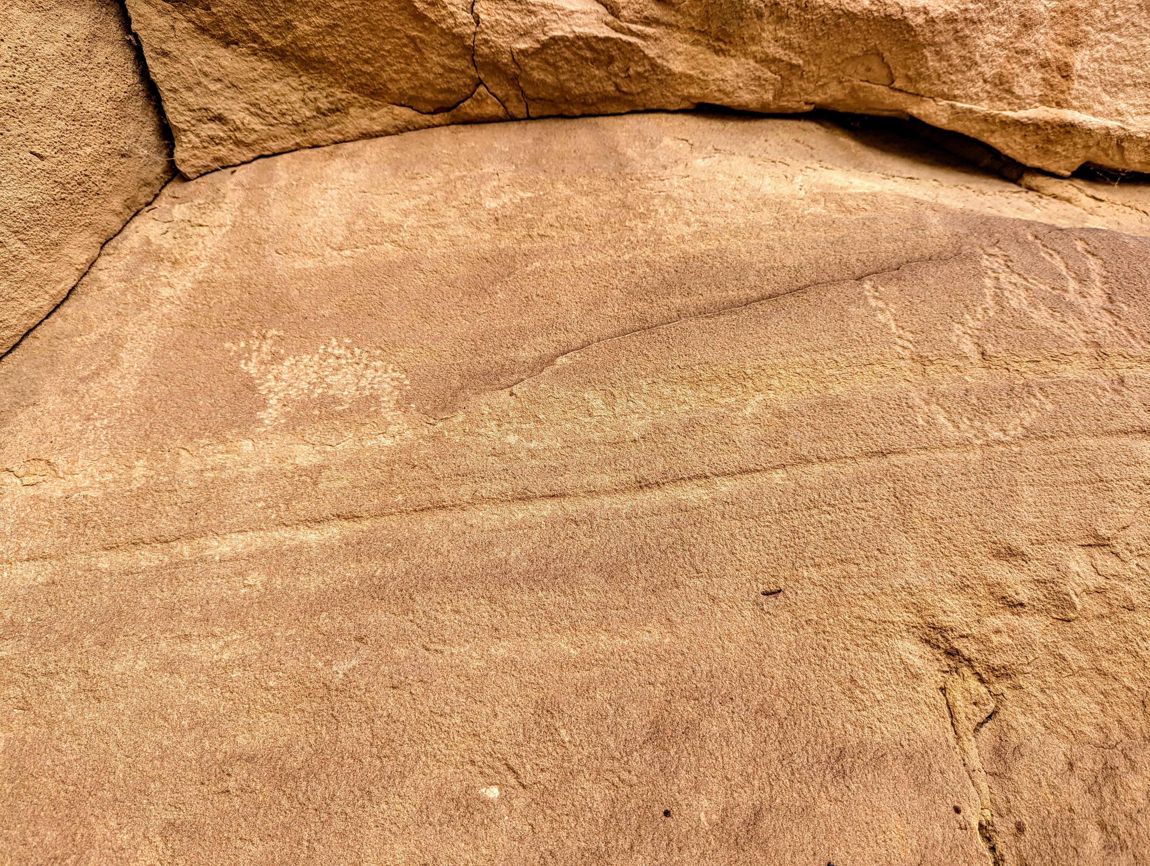
Rock art at the Hoodoo Site.
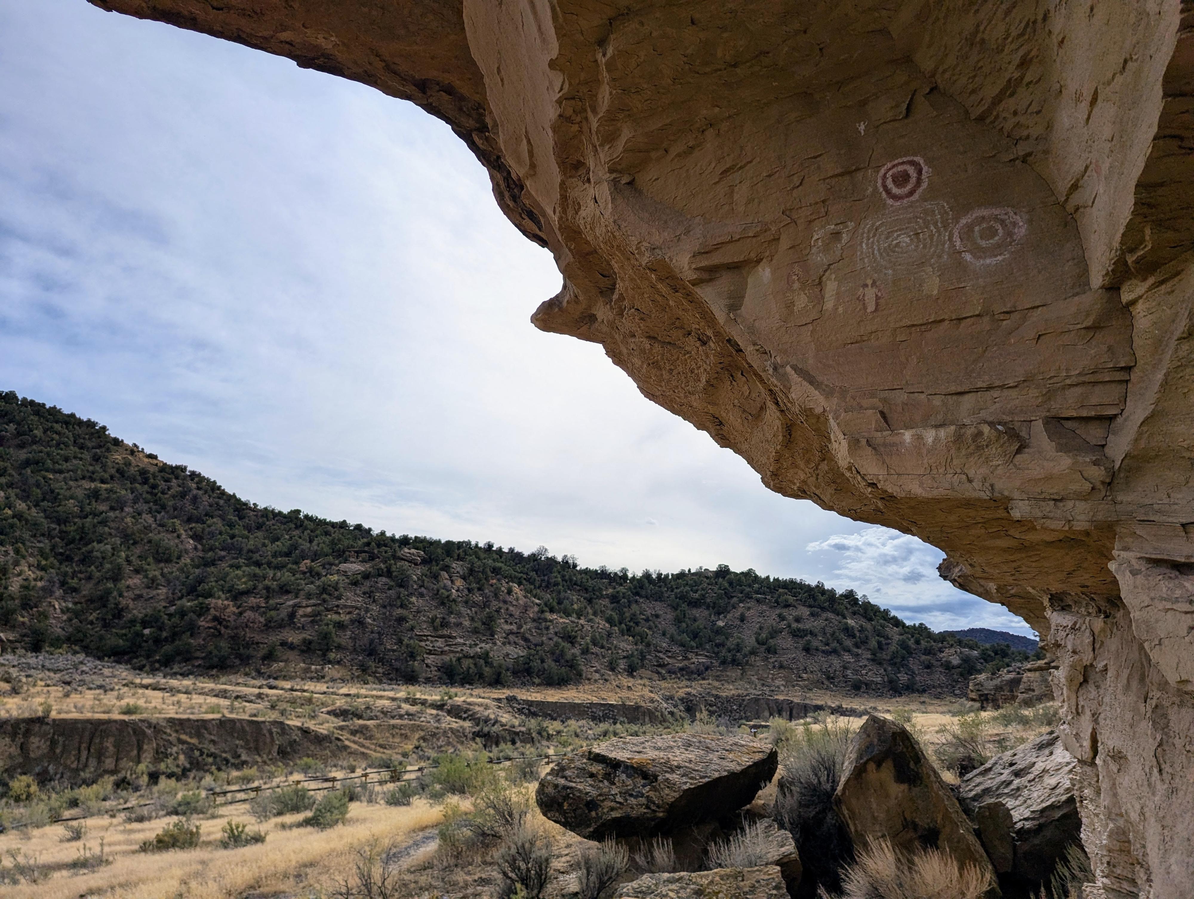
Sun Dagger
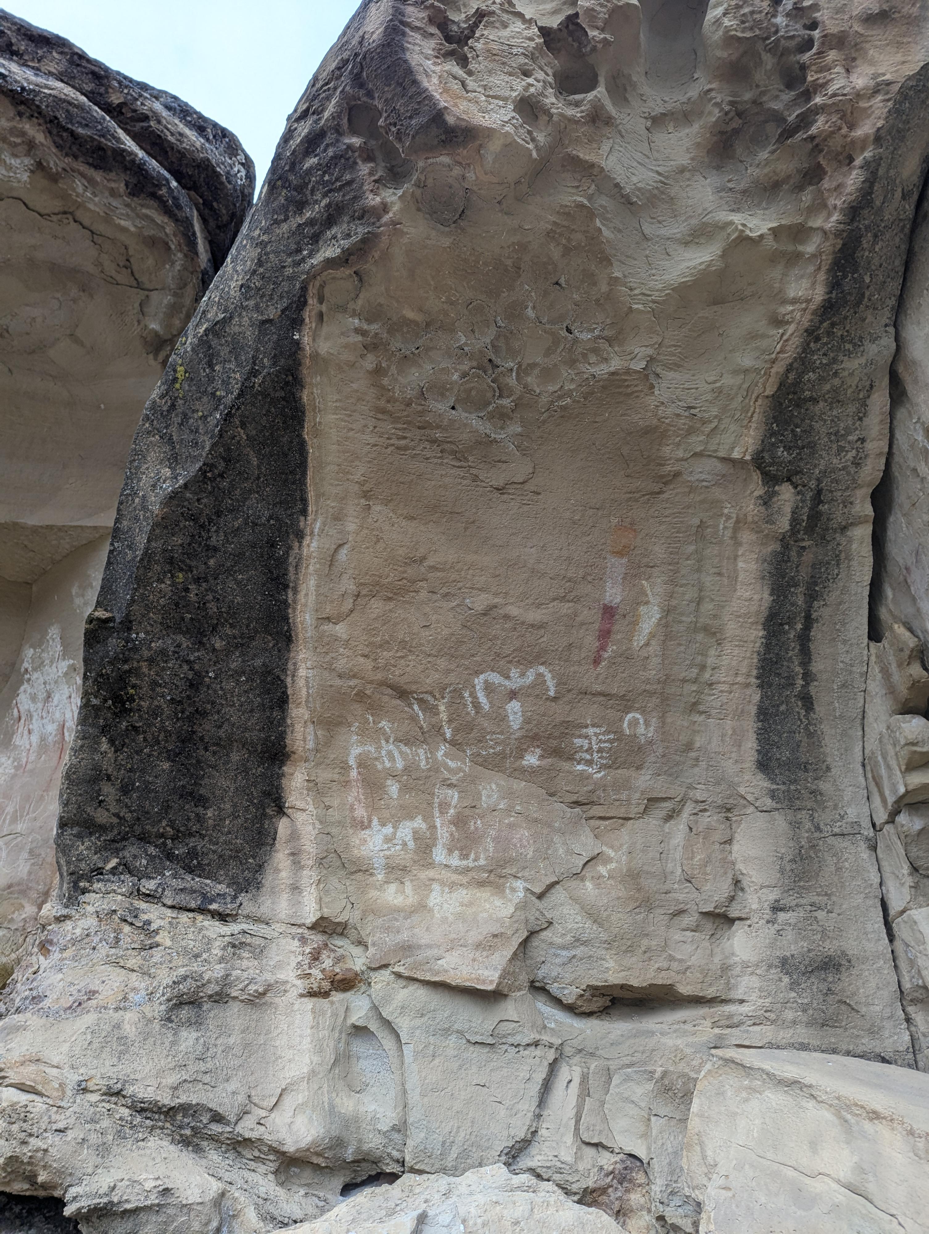
The small State Bridge Site
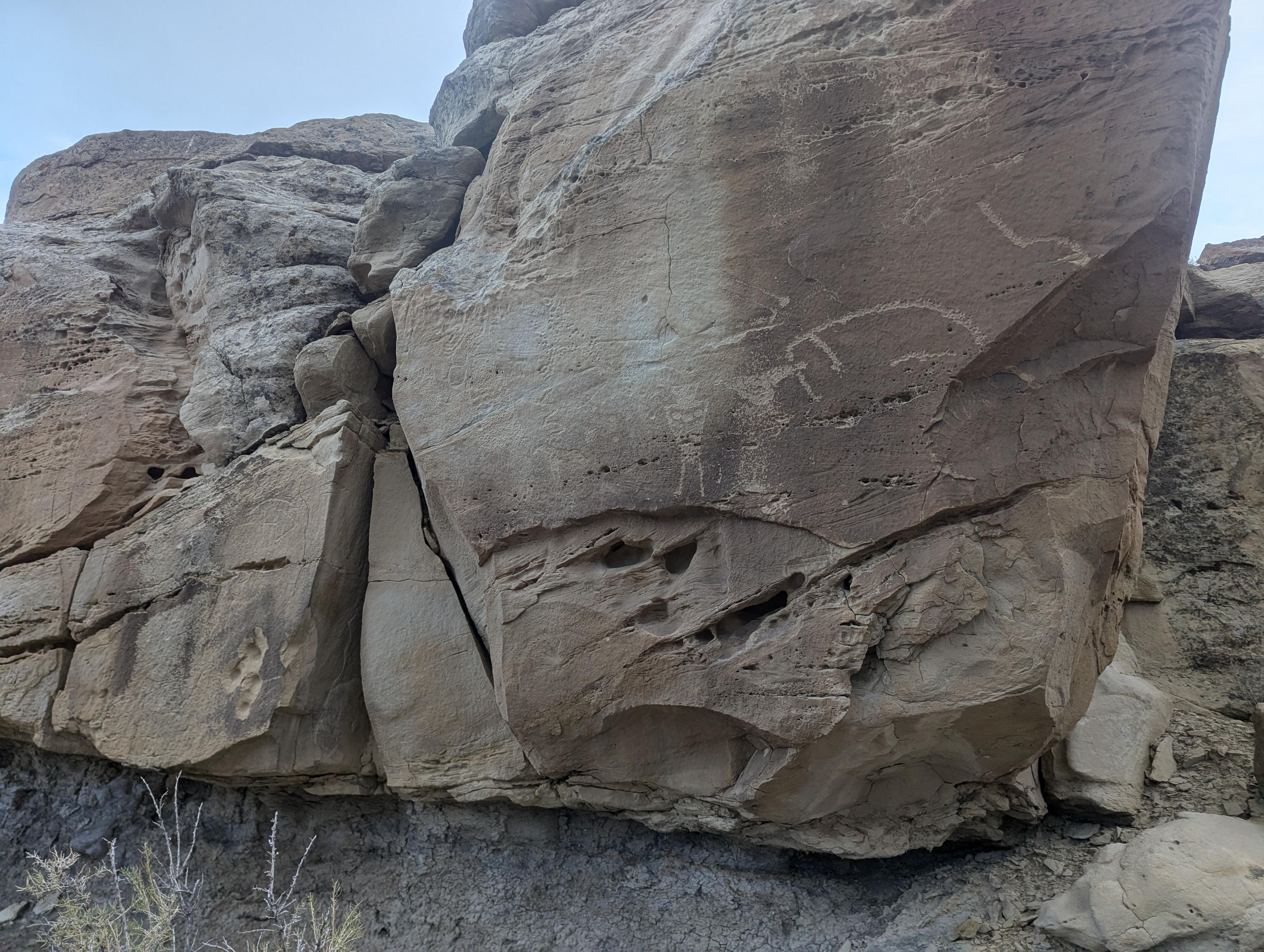
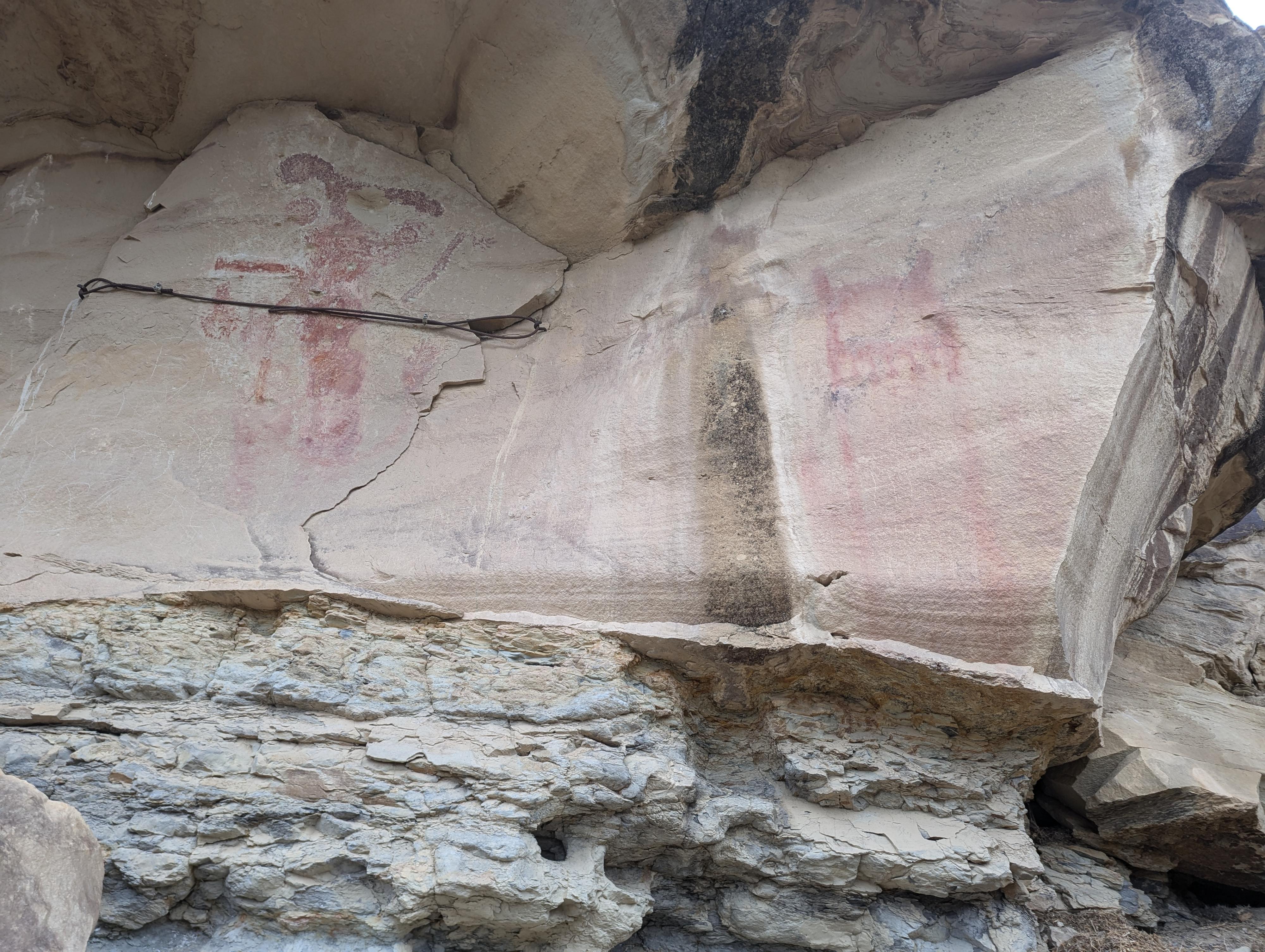
Cow Canyon Site - Canyon Pintado - Rangely Colorado
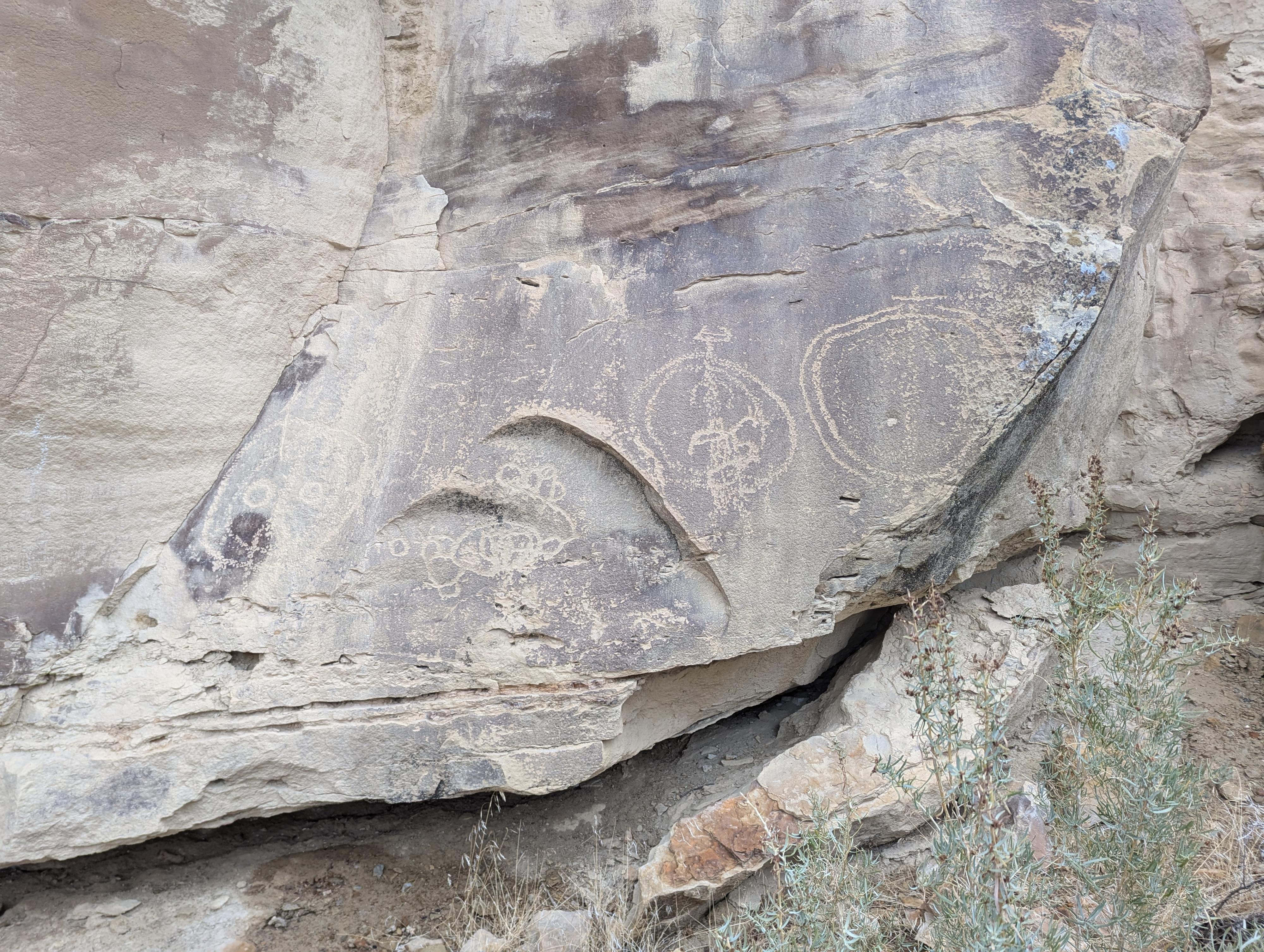
White Birds Site - Canyon Pintado
Part of the White Bird Site
Kokopelli Site
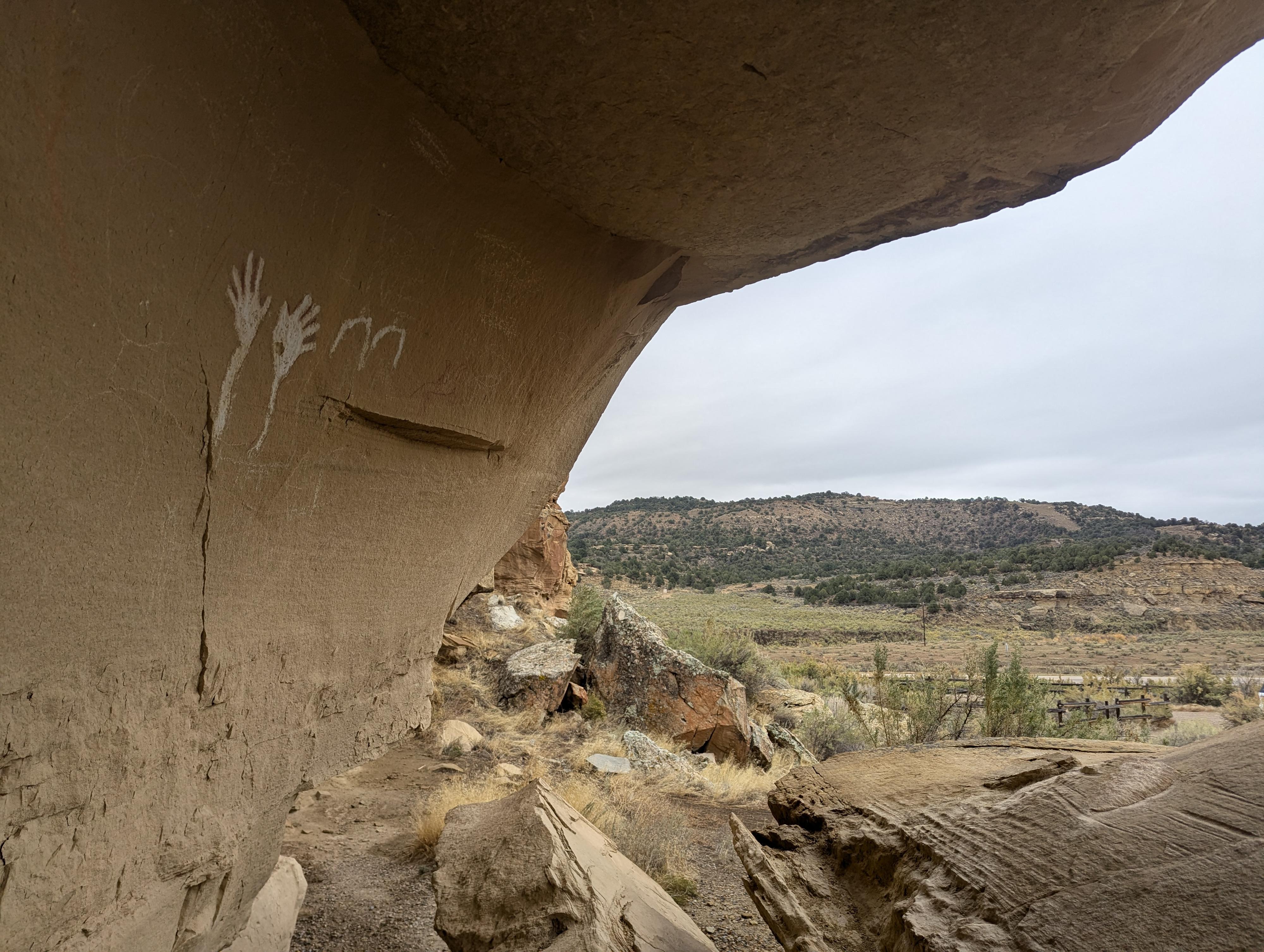
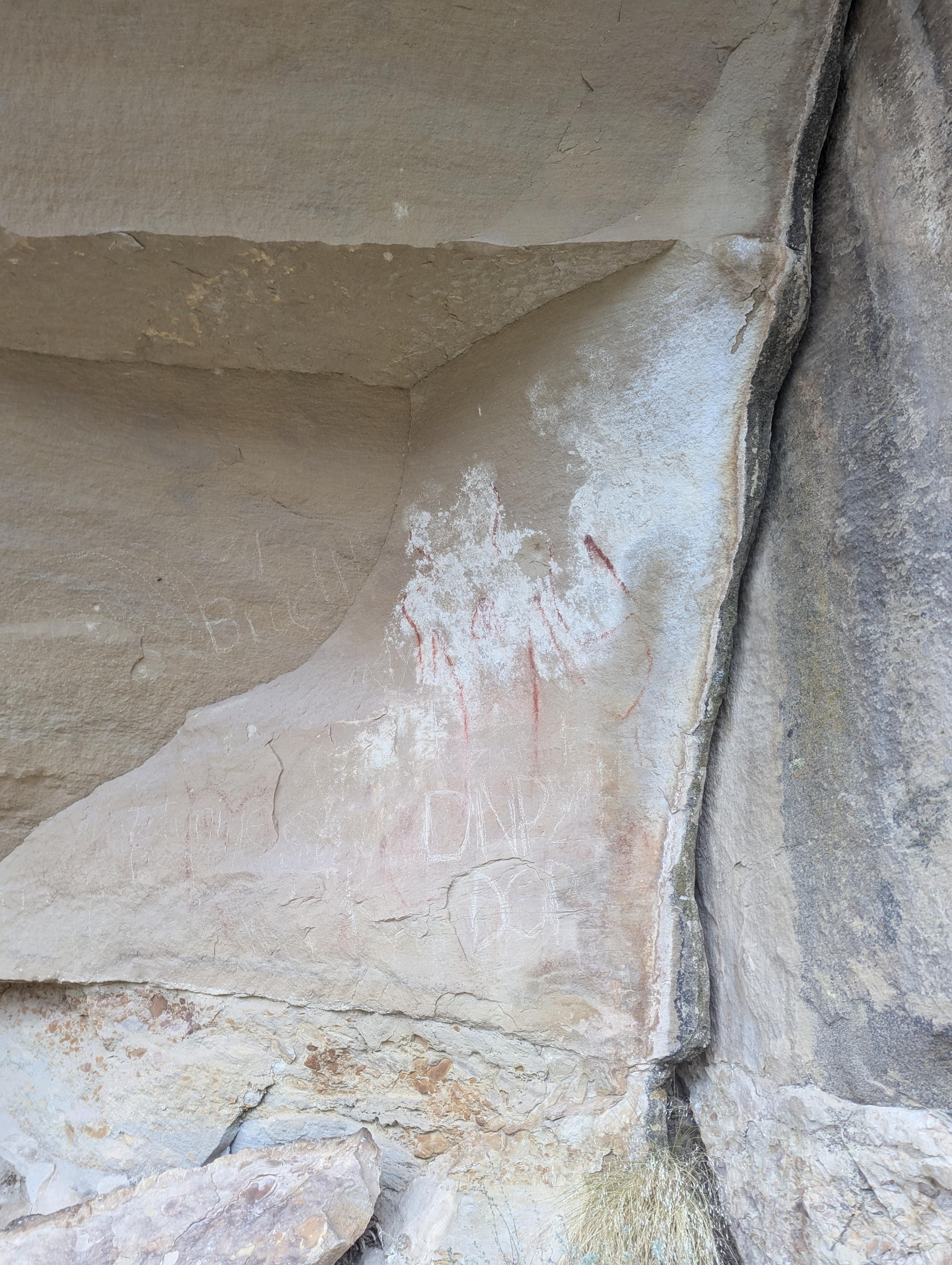
Wavy Hands in context.
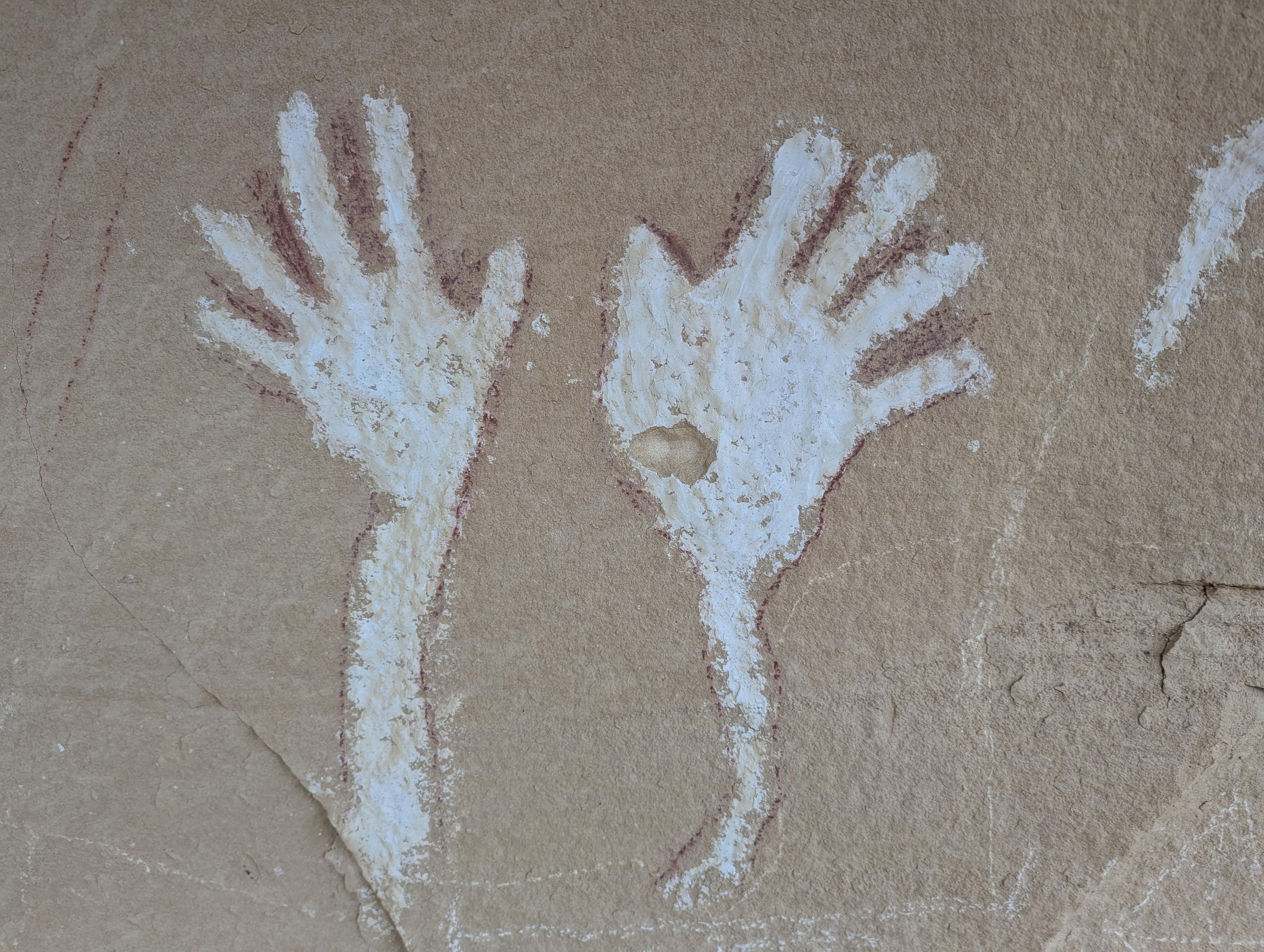
Close-up of Wavy Hands in Canyon Pintado
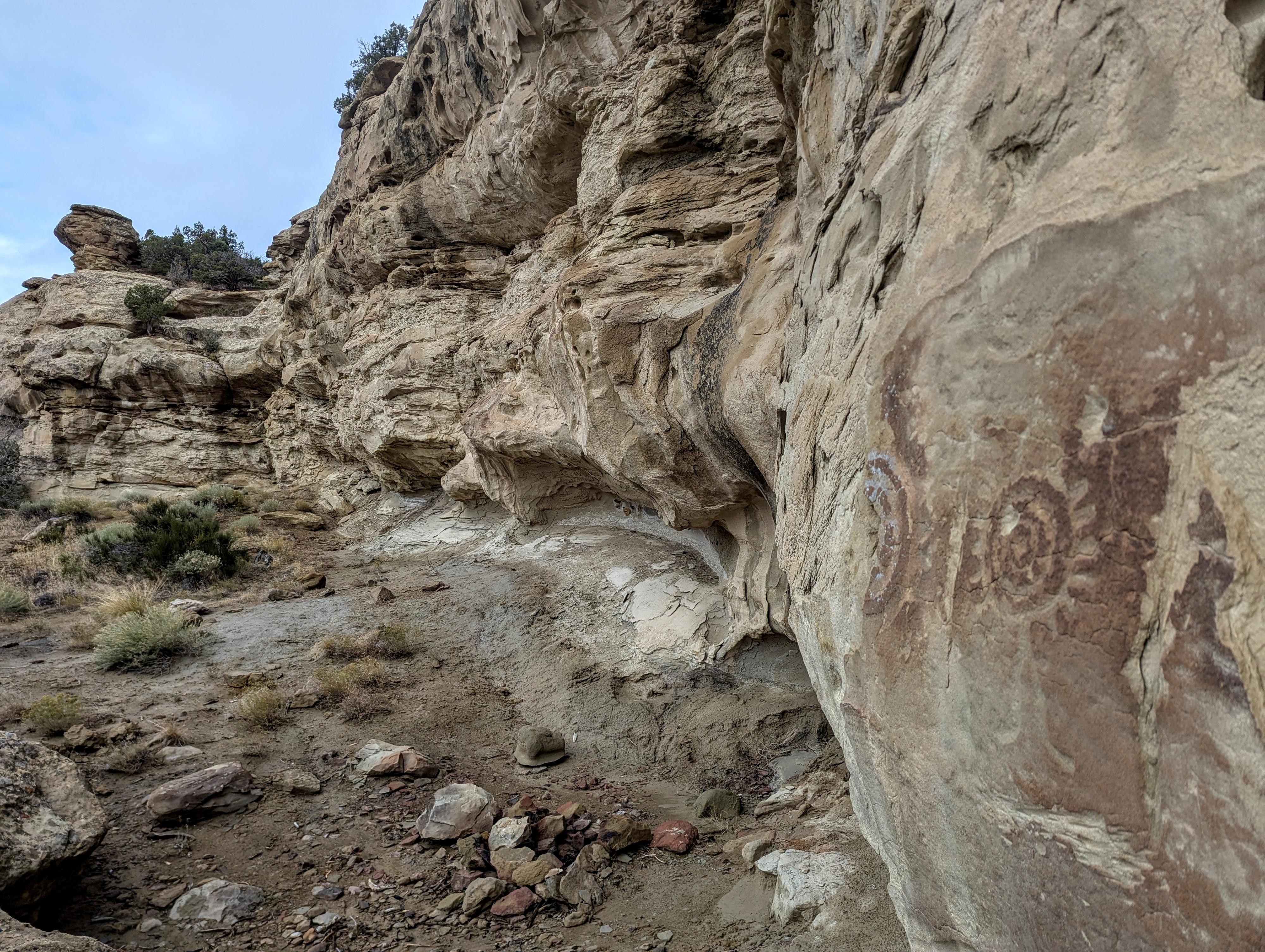
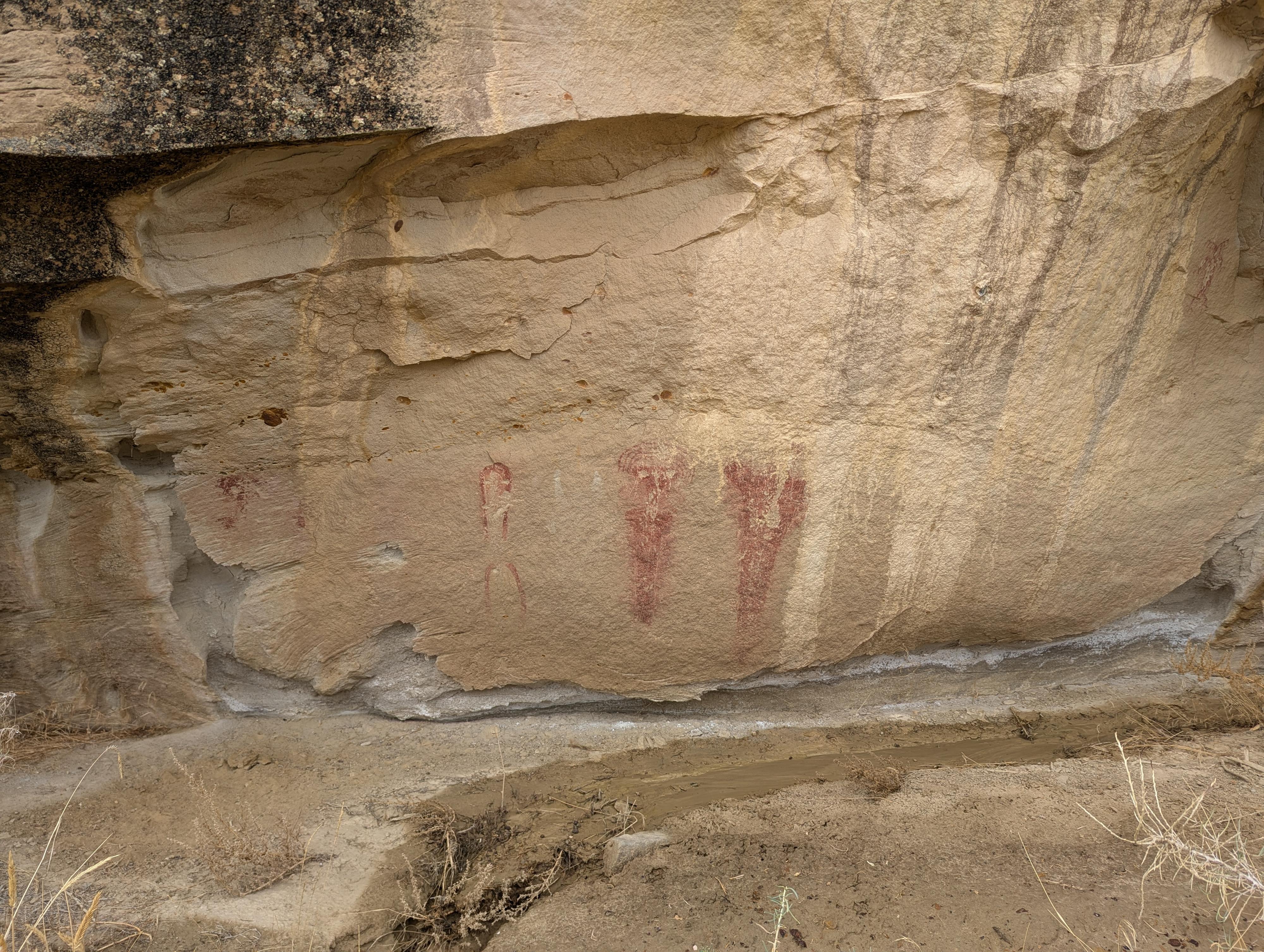
Shield Site - Canyon Pintado
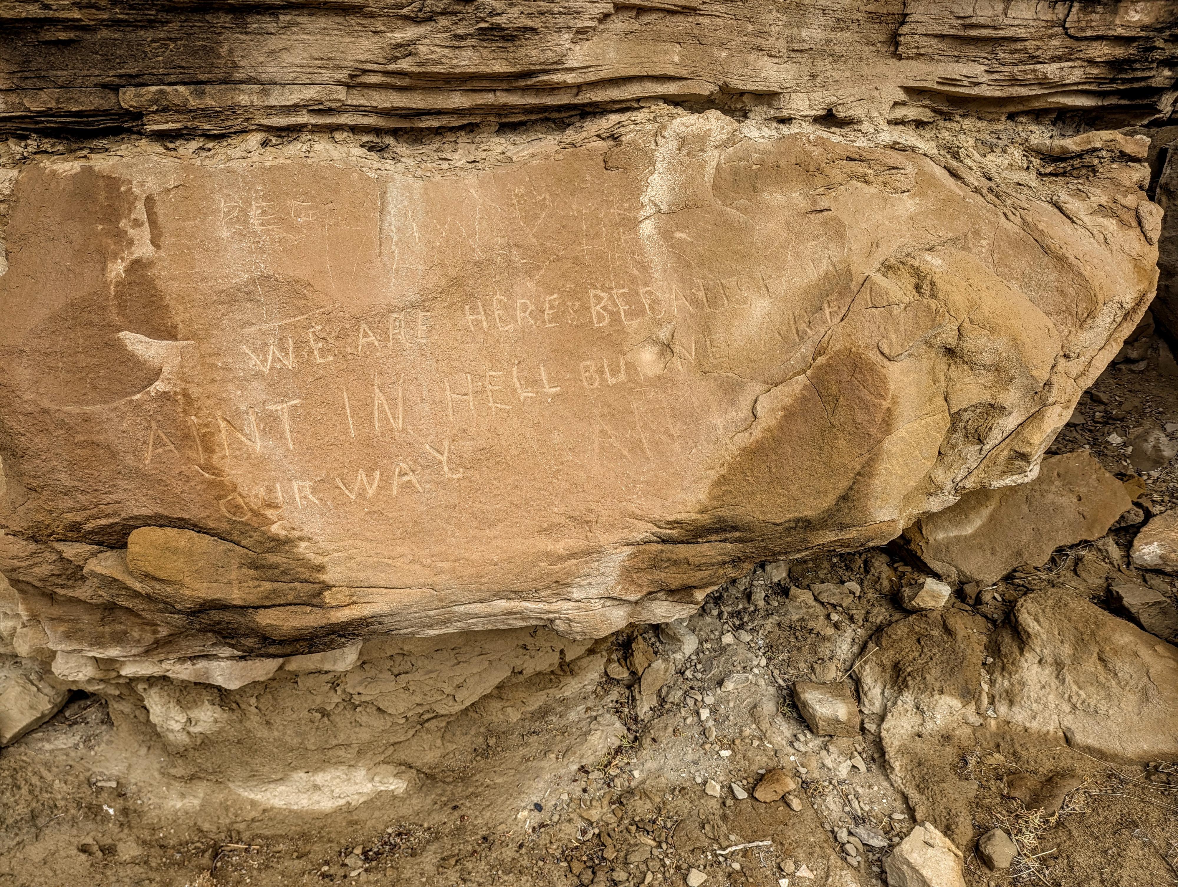
"WE ARE HERE BECAUSE WE AINT IN HELL BUT WE ARE ON OUR WAY"
Carrot Men site in Canyon Pintado
Photos
Maps


12T 690029E 4437703N
40°04'05"N 108°46'18"W
12T 689997E 4437616N
40°04'03"N 108°46'19"W
12T 690085E 4433487N
40°01'49"N 108°46'20"W
12T 690024E 4433639N
40°01'54"N 108°46'22"W
12S 690023E 4426672N
39°58'08"N 108°46'30"W
12S 689990E 4426590N
39°58'05"N 108°46'31"W
12S 691506E 4424003N
39°56'40"N 108°45'30"W
12S 691884E 4424266N
39°56'48"N 108°45'14"W
12S 691681E 4424181N
39°56'46"N 108°45'23"W
12S 691598E 4424259N
39°56'48"N 108°45'26"W
12S 691487E 4424173N
39°56'46"N 108°45'31"W
12S 691520E 4424193N
39°56'46"N 108°45'29"W
12S 691642E 4424210N
39°56'47"N 108°45'24"W
12S 692820E 4421823N
39°55'28"N 108°44'37"W
12S 692899E 4421773N
39°55'27"N 108°44'34"W
12S 694230E 4417829N
39°53'18"N 108°43'42"W
12S 694217E 4417858N
39°53'19"N 108°43'43"W
12S 693924E 4417092N
39°52'54"N 108°43'56"W
12S 693875E 4417131N
39°52'56"N 108°43'58"W
12S 693959E 4416230N
39°52'26"N 108°43'55"W
12S 693904E 4416254N
39°52'27"N 108°43'58"W
12S 693436E 4412545N
39°50'27"N 108°44'21"W
12S 693410E 4412578N
39°50'28"N 108°44'22"W
12S 693459E 4412590N
39°50'29"N 108°44'20"W
12T 686358E 4431092N
40°00'34"N 108°48'60"W
12T 686205E 4431083N
40°00'34"N 108°49'06"W
12S 684496E 4425668N
39°57'40"N 108°50'24"W
12S 684582E 4425771N
39°57'43"N 108°50'20"W
12S 681602E 4426451N
39°58'07"N 108°52'25"W
12S 680247E 4424036N
39°56'50"N 108°53'24"W
12S 680188E 4423976N
39°56'48"N 108°53'27"W