
 Bryce Canyon
Bryce
Overview
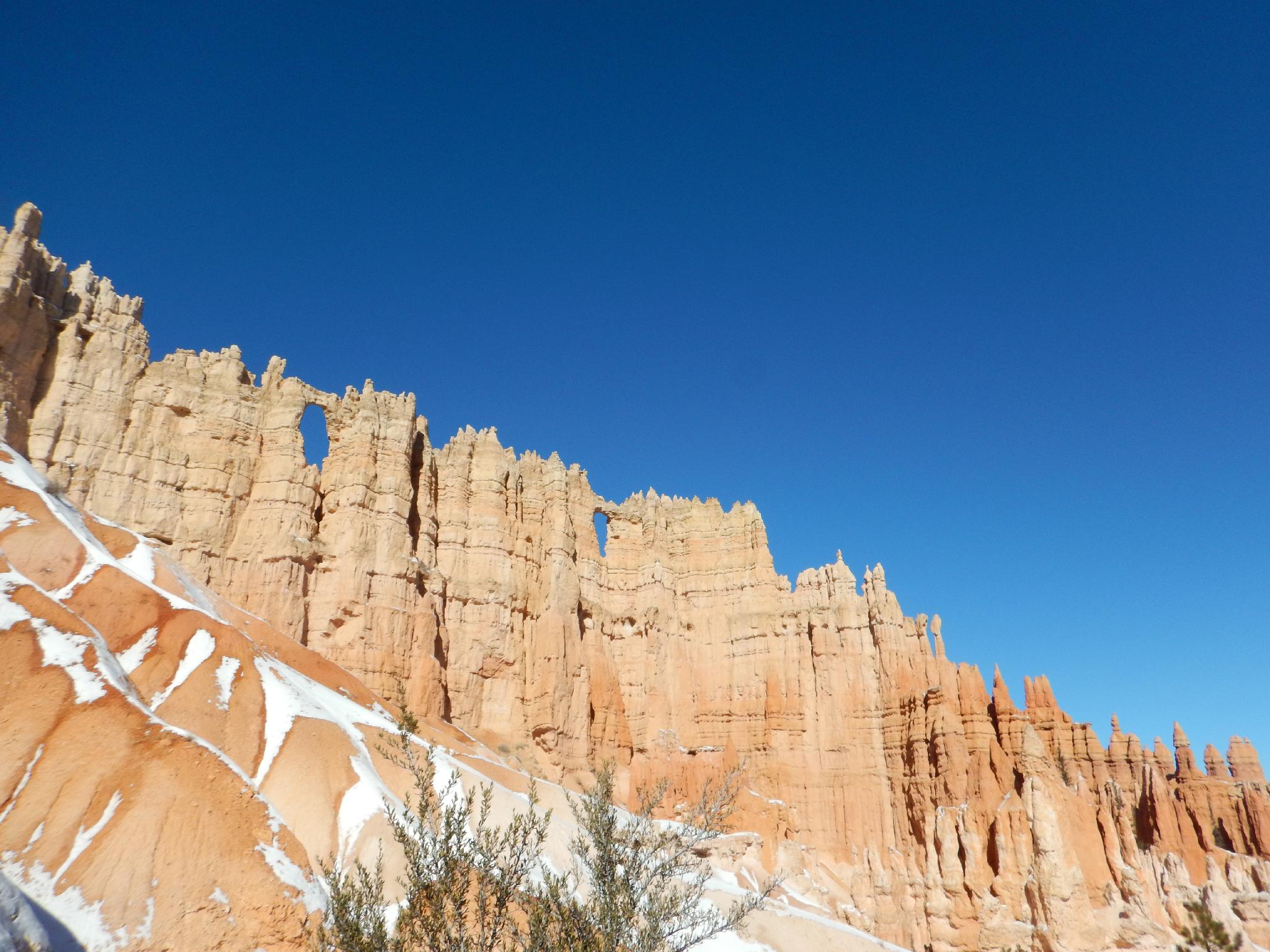
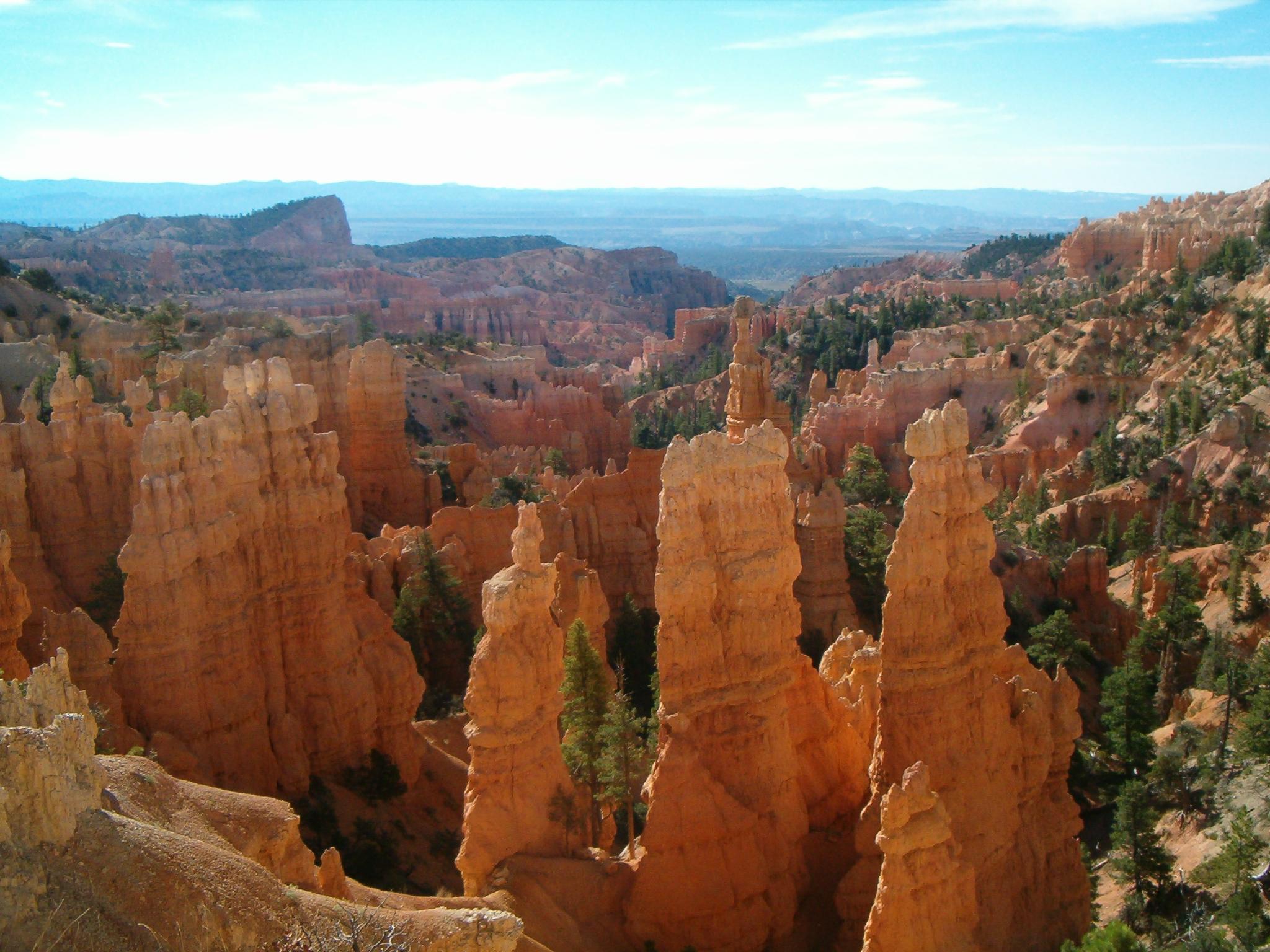
Named after Ebenezer Bryce in 1874, Bryce Canyon is part of the Grand Circle that includes Zion National Park and Grand Canyon National Park. Unlike Zion or the Grand Canyon, Bryce Canyon is not nearly as heavily visited as Zion and the Grand Canyon, and has a smaller feel, but with equally splendid scenery. The park overlooks and encompasses an amphitheater-like area full of towers, hoodoos, windows, and passages. This is unique scenery!
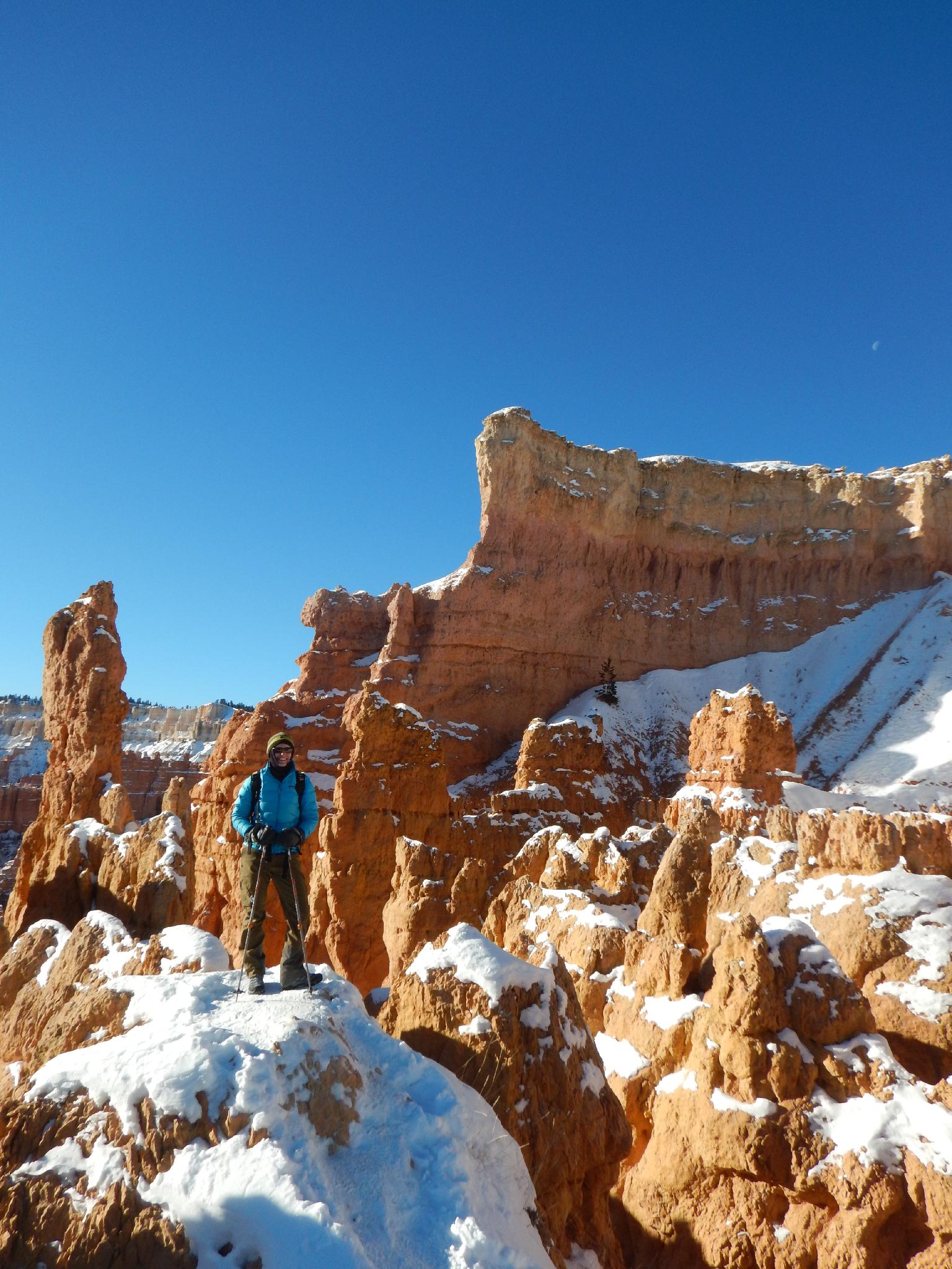
Though visitation peaks in the summer, I would recommend visiting in the winter. The red and orange colors that make up the cliffs and hoodoos are even more dramatic with a fresh white backdrop of snow.
Getting There
The park is south of UT-12, about 25 miles south-east of Panguitch, or 50 miles west of Escalante.
Route Description
Recommendations:
It is hard to go wrong hiking in Bryce. Here are a few of my recommendations based on motivation and fitness levels:
Short and Family Friendly (1 mile): The rim trail is the easiest trail in the park and offers easy access to a family friendly hike suitable to all. At the very least, hiking between Sunrise and Sunset Points is a good introduction. To be fair, you can't really experience the canyon without hiking down off the rim though.
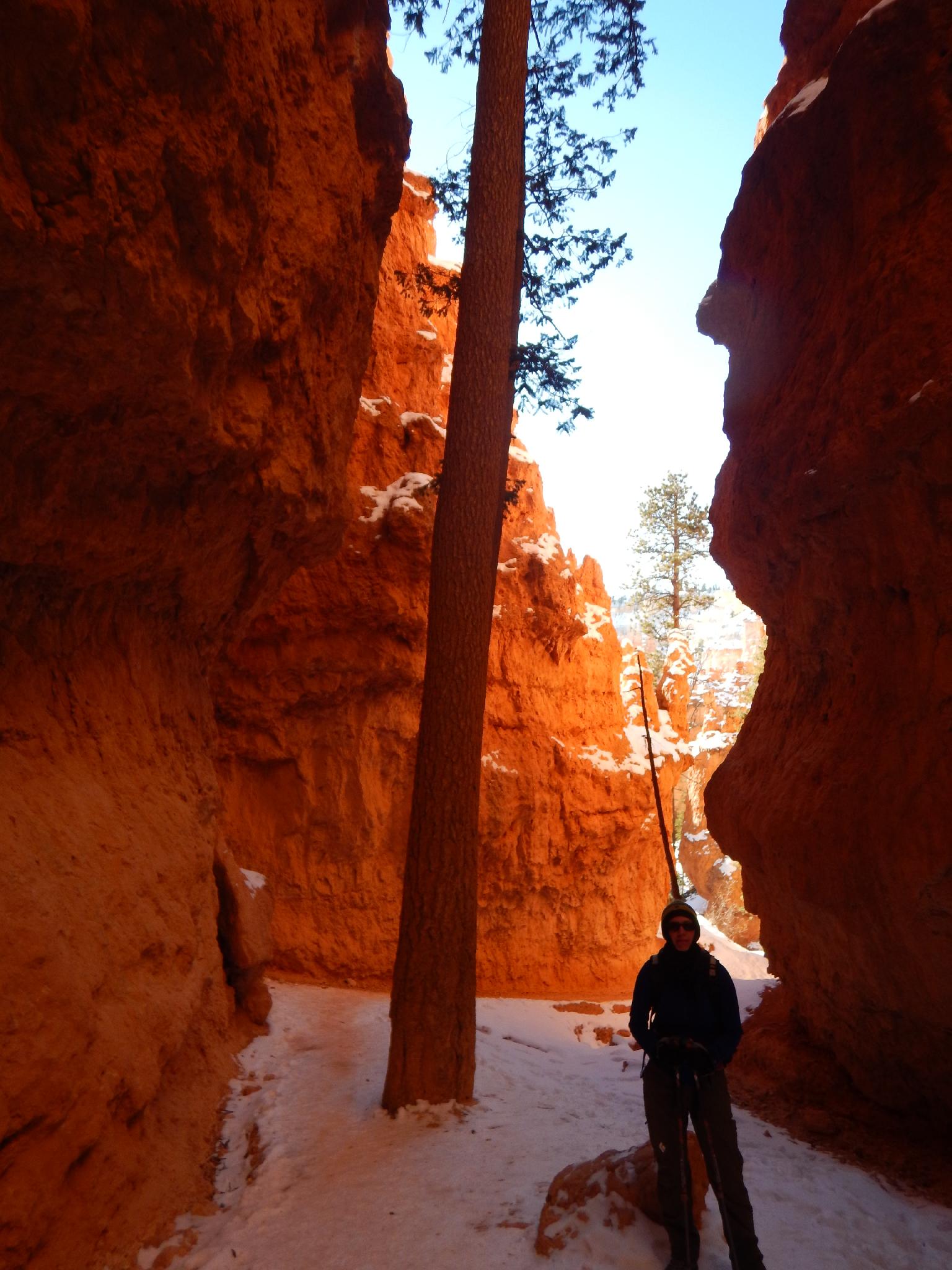
A Bit More Adventurous Family (1.3 miles): The Navajo Loop trail is THE hike to do in Bryce. At about 1.3 miles and 550 feet of elevation loss/gain this one is also suitable for most and very highly recommended. It descends off Sunset Point down through a deep and narrow canyon before looping back. You see pictures from this hike everywhere, from calendars to books. If you can only do one hike, this is the one I would recommend.
Good Hike (3.0 miles): For a bit more adventure, going down the Navajo Loop Trail (south loop) and circling back via the Queens Garden Trail offers a bigger hike with a bit more varied terrain.
Longer Day Hike: Descend Queens Garden to Navajo Loop Trail. Go up the south side of Navajo Loop to the narrow section, return and continue south to Peekaboo. Go on the west side of the Peekaboo Loop trail, then up to Bryce Point. Some times of the year you can take the park shuttle from here (6-ish miles total). Other times you will need to follow the rim trail back to your vehicle. (9-ish total miles)
The Fairyland Loop was my first hike in Bryce. It is about 8 miles, and good, but in my opinion, not as dramatic as the Queens/Navajo/Peekaboo loop suggest above. It receives less traffic than the Navajo/Queens loop area, so if getting away from crowds is your goal, it is a good place to look.
Maps


12S 397389E 4165200N
37°37'42"N 112°09'46"W
12S 397103E 4164594N
37°37'22"N 112°09'58"W
12S 396835E 4163574N
37°36'49"N 112°10'08"W
12S 397787E 4162710N
37°36'21"N 112°09'29"W
12S 398783E 4167505N
37°38'57"N 112°08'51"W
12S 397778E 4164052N
37°37'04"N 112°09'30"W
12S 397740E 4164901N
37°37'32"N 112°09'32"W
12S 397774E 4164017N
37°37'03"N 112°09'30"W
12S 397705E 4162906N
37°36'27"N 112°09'32"W
12S 397408E 4165611N
37°37'55"N 112°09'46"W