 Hiking
Cavell Pond and Meadows
Hiking
Cavell Pond and Meadows
Jasper National Park
Overview
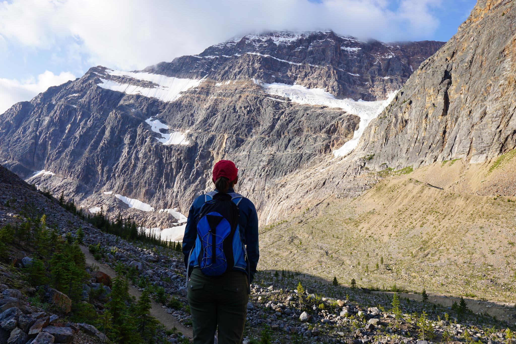
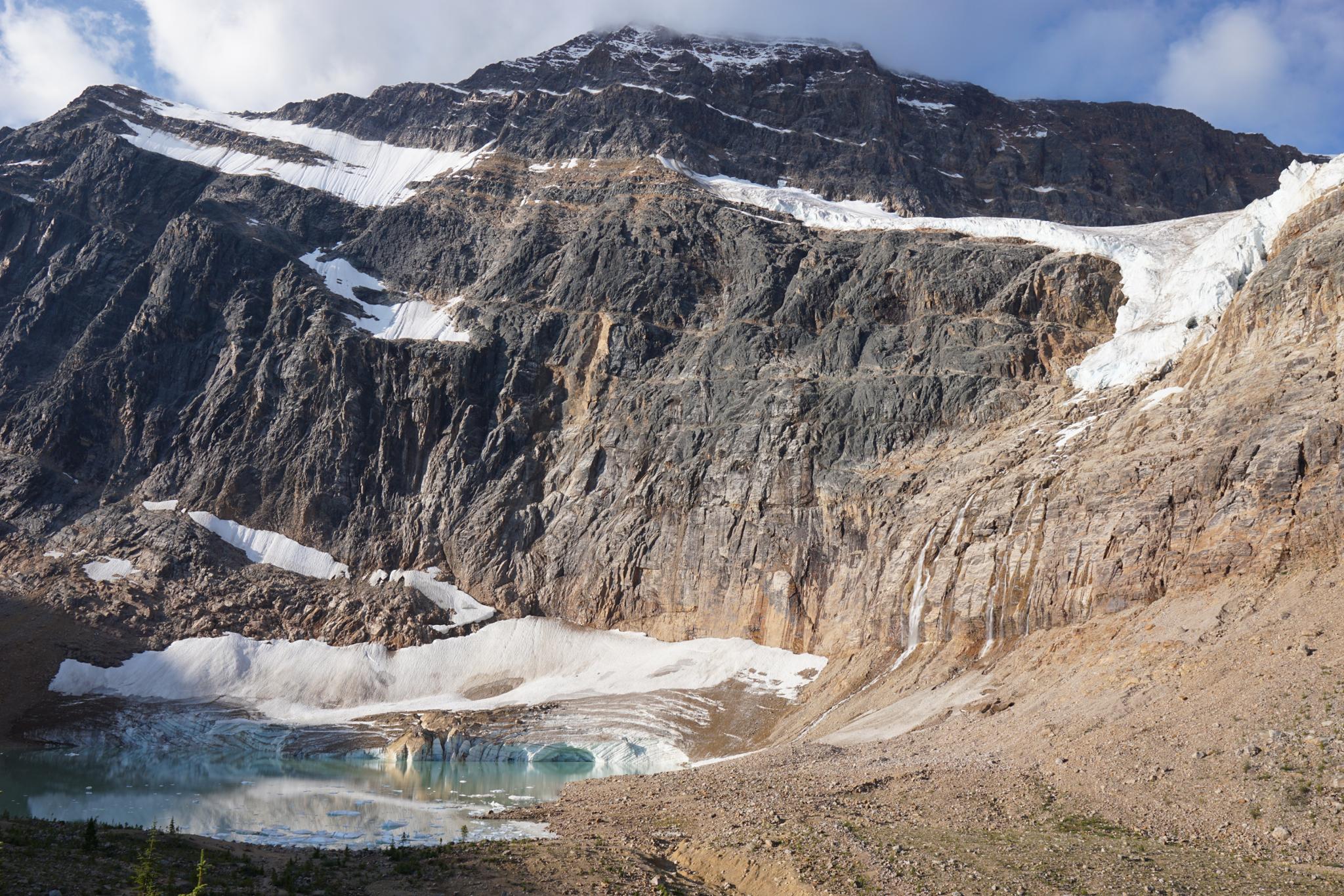
Cavell Pond is tucked at the base of Mt Edith Cavell. The turquoise waters flanked by Mountain Edith Carvell and Angel Glacier make for a stunning spot to visit. Visiting the pond is a place where you feel like the magnitude of the Canadian Rockies envelopes you. The hike to the pond is on an easy trail, suitable for most, though with some elevation gain.
For the more energetic, the trail continues from the pond high up into Cavell Meadows and offers even more dramatic views of the surroundings and Angel Glacier. The wildflowers in the meadow, on our mid-August visit, were spectacular.
Getting There
From Jasper, head south on AB-93 for about 7 km, then turn right onto AB-93A, Follow AB-93A for 5.7 kilometers, then turn right onto the signed road for Edith Cavell Trailhead. Follow this road 14 km to its end at the trailhead.
Route Description
Cavell Pond (700 meters)
From the trailhead, follow the well-marked trail as it climbs the valley. At the meadows junction, stay right. The end of the trail overlooking Cavell Pond is a couple of minutes from the junction. The end of the trail offers spectacular views both of Cavell Pond and the Angel Glacier. The glacier is flowing down the mountain toward the pond.
Cavell Meadows
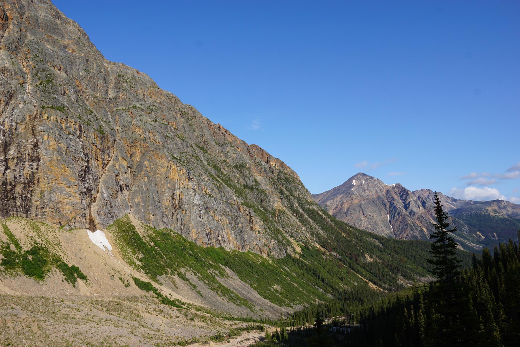
Go back to the meadows junction. The meadows trail climbs steeply over the moraine, then follows the backside of the rock debris pile. It rises, via switchbacks, up to a loop junction.
If making the full loop, I recommend going left. The trail climbs to the highpoint of the route first this way, then meanders back down, visiting a couple of other viewpoints en route back to the loop junction.
If you don't plan on visiting the entire loop, go right. The trail is less steep going right, and quickly visits a couple of great viewpoints and offers some of the best views down onto the pond and Angel Glacier.
Photos
Maps

11U 428672E 5838004N
52°41'14"N 118°03'19"W
11U 428957E 5837609N
52°41'02"N 118°03'03"W
11U 429032E 5837463N
52°40'57"N 118°02'59"W
11U 429666E 5837365N
52°40'54"N 118°02'25"W
11U 430650E 5837285N
52°40'52"N 118°01'33"W
11U 430179E 5836741N
52°40'34"N 118°01'58"W