 Hiking
Little Finland
Hiking
Little Finland
Gold Butte National Monument
Overview
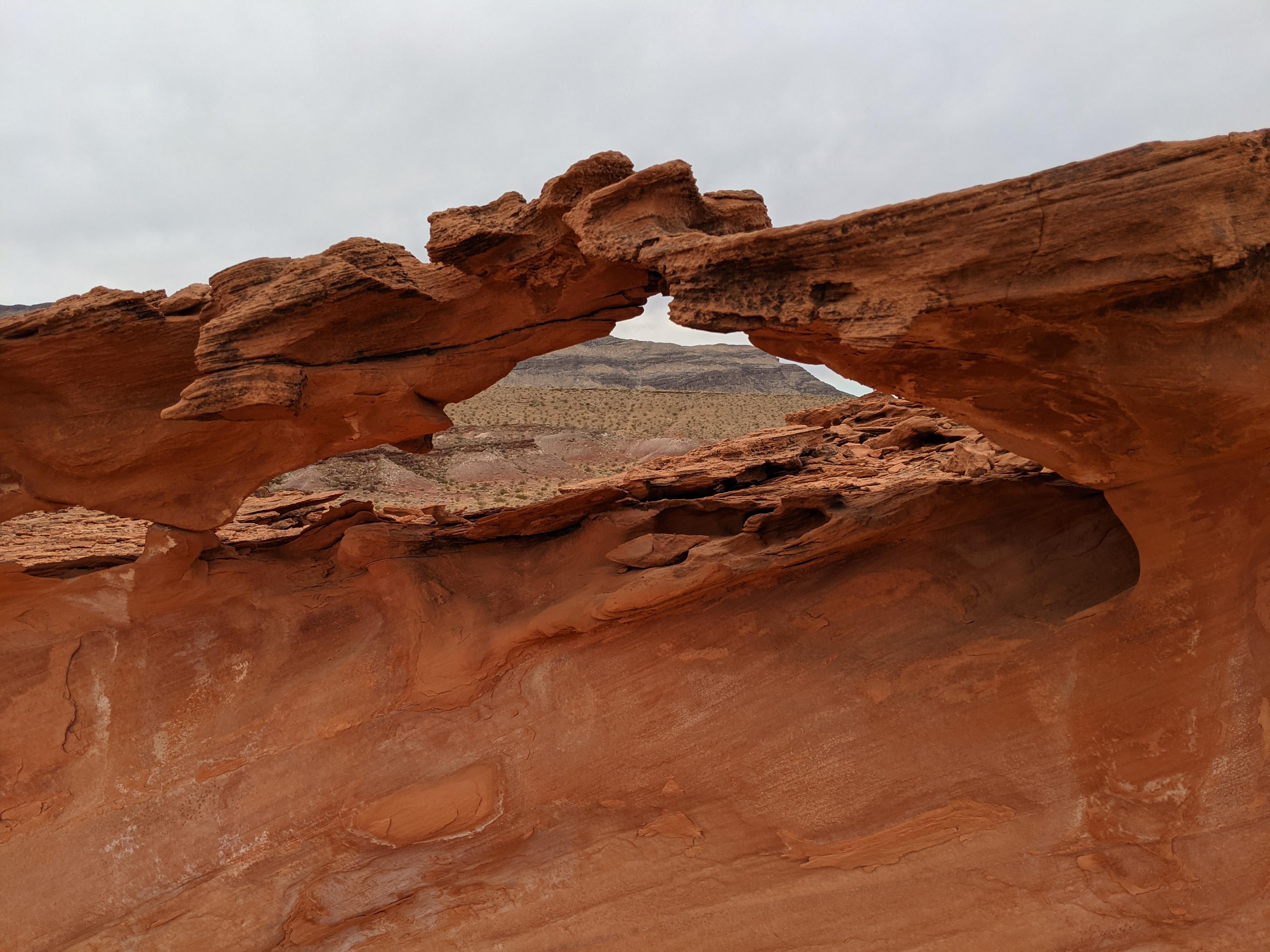
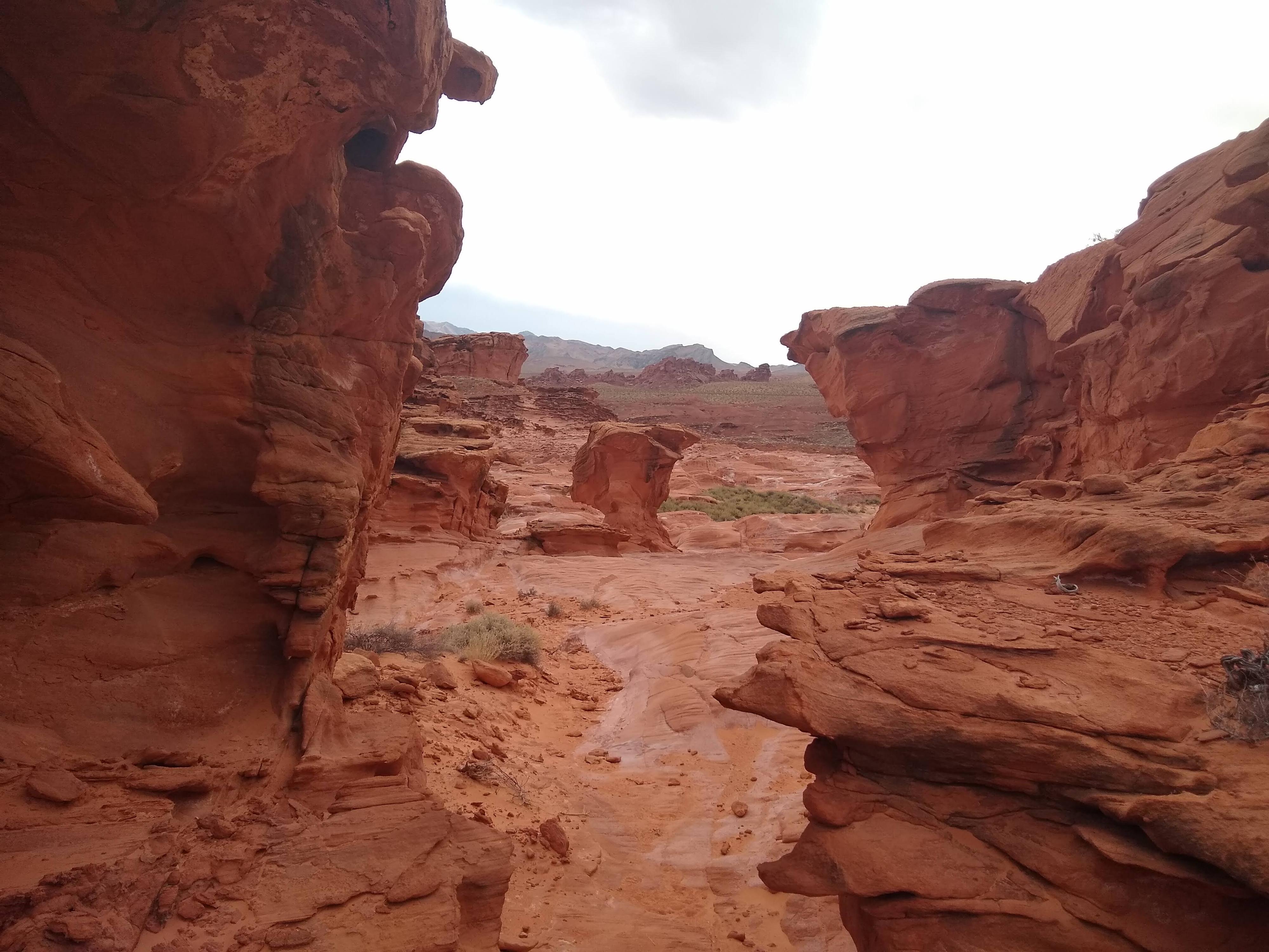
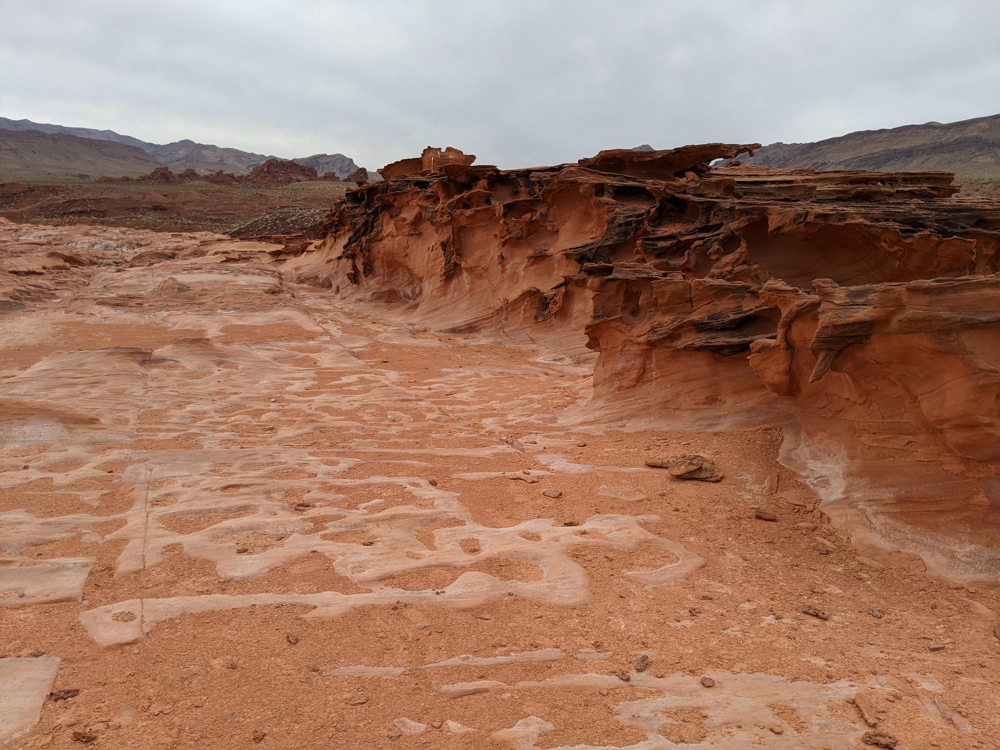
One of the more popular places to visit in Gold Butte National Monument is Little Finland. This is an area where the reddish Aztec Sandstone layer is exposed and has eroded into fantastic fins and interesting shapes. Little Finland is at the edge of the sandstone layer, and the base of the layer is punctuated by an oasis created by small seeps where the water that has flowed between rock layers reaches the surface. West of Little Finland are sand hills and open county.
This is a fun place to wander and take in the unique sights. We visited on a cloudy day, and I don’t feel my pictures do the place justice. It is quite pretty.
Getting There
Reaching Gold Butte starts by taking exit 112 off Interstate 15. This is about 70 miles east of Las Vegas, or 10 miles west of Mesquite Nevada. From exit 112, head south for 3.1 miles on NV-170 toward Riverside. Just after the road crosses the Virgin River, turn right onto Gold Butte Road.
Route Description
Rock art and historic sites are fragile, non-renewable cultural resources that, once damaged, can never be replaced. To ensure they are protected, please:
- Avoid Touching the Petroglyphs: Look and observe, BUT DO NOT TOUCH!
- Stay on the Trails: Stay on the most used trails when visiting sites, and don't create new trails or trample vegetation.
- Photography and Sketching is Allowed: Do not introduce any foreign substance to enhance the carved and pecked images for photographic or drawing purposes. Altering, defacing, or damaging the petroglyphs is against the law -- even if the damage is unintentional.
- Pets: Keep pets on a leash and clean up after them.
- Artifacts: If you happen to come across sherds (broken pottery) or lithics (flakes of stone tools), leave them where you see them. Once they are moved or removed, a piece of the past is forever lost.
As you approach Little Finland, there are two options. Several roads leave on the left (north) and go to the north end of the formation. This is the easiest way to get onto the sandstone layer. The second approach is to stay on the road in the wash bottom. The road ends at a lovely oasis area and fence below a small ledge. This second option is my preference. From the oasis trailhead, cross through the fence, and look for a low angle ramp climbing up behind the oasis to the middle part of Little Finland. This ramp is easy forth class but may be intimidating to some. If too intimidating, go back to the north end of the formation.
Once up the ramp, you are in the middle of the Little Finland formations! Keep an eye out, there are several petroglyph panels near the top of this ramp on the flat sandstone. Wandering along the flats and taking in the formations is the fun of the outing. We spent a couple of hours wandering both north and south. All areas are quite stunning. The area to the east has a few small, short side joints/canyons that are fun to explore as well.
Photos
Maps

11S 749610E 4037295N
36°26'54"N 114°12'54"W
11S 749787E 4037496N
36°27'01"N 114°12'46"W
11S 749680E 4037335N
36°26'56"N 114°12'51"W
11S 749554E 4037847N
36°27'12"N 114°12'55"W
11S 749811E 4037497N
36°27'01"N 114°12'46"W
11S 749661E 4037309N
36°26'55"N 114°12'52"W