 Hiking
Deseret Peak
Hiking
Deseret Peak
Tooele County Highpoint
Overview
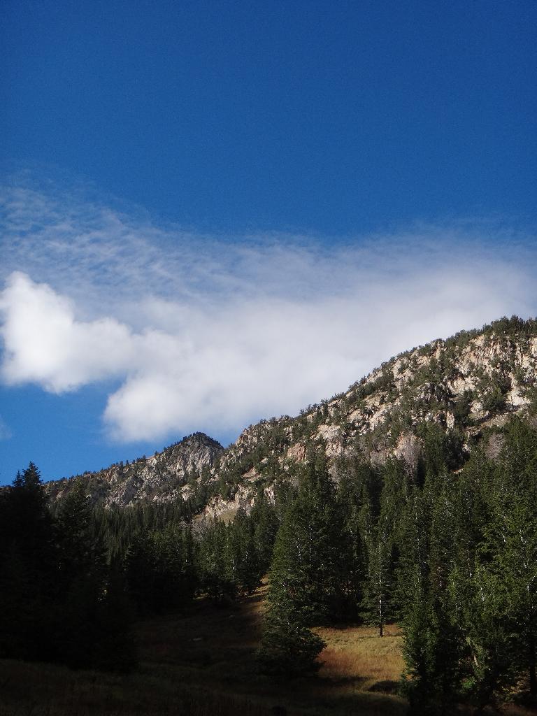
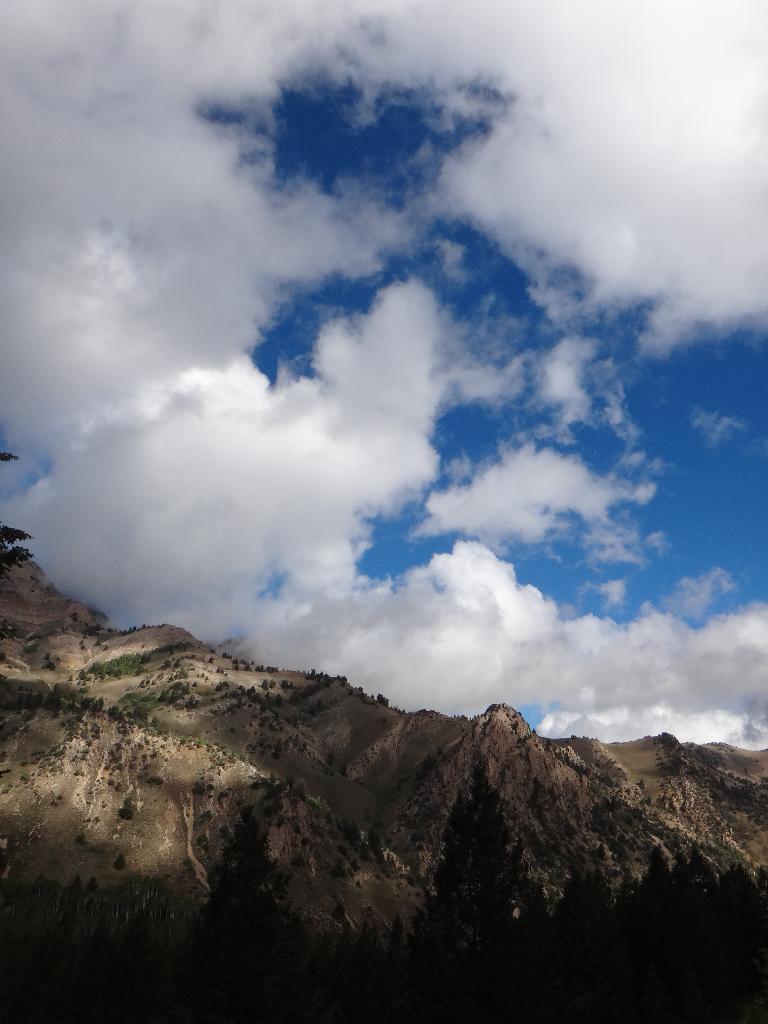
Tucked in the Stansbury Mountains, not an hour away from Salt Lake, Deseret Peak is the Tooele County highpoint. Unlike most areas directly along the Wasatch Front, the Stansbury Mountains are much less crowded and have a more open and remote feel. If I'm hiking near Salt Lake for a quick day trip, the Stansbury Mountains are at the top of my list. You're likely to see people, but not the hordes you'll find in Big Cottonwood or Little Cottonwood Canyons. There are a couple of small springs/stream en route, but bring all the water you will need, including extra for dogs if you are bringing them.
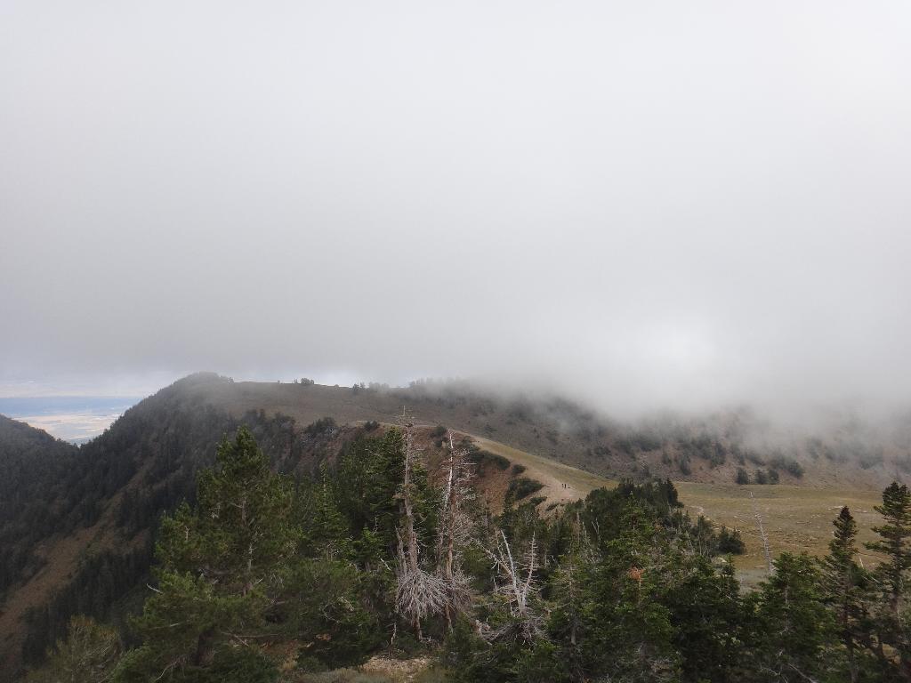
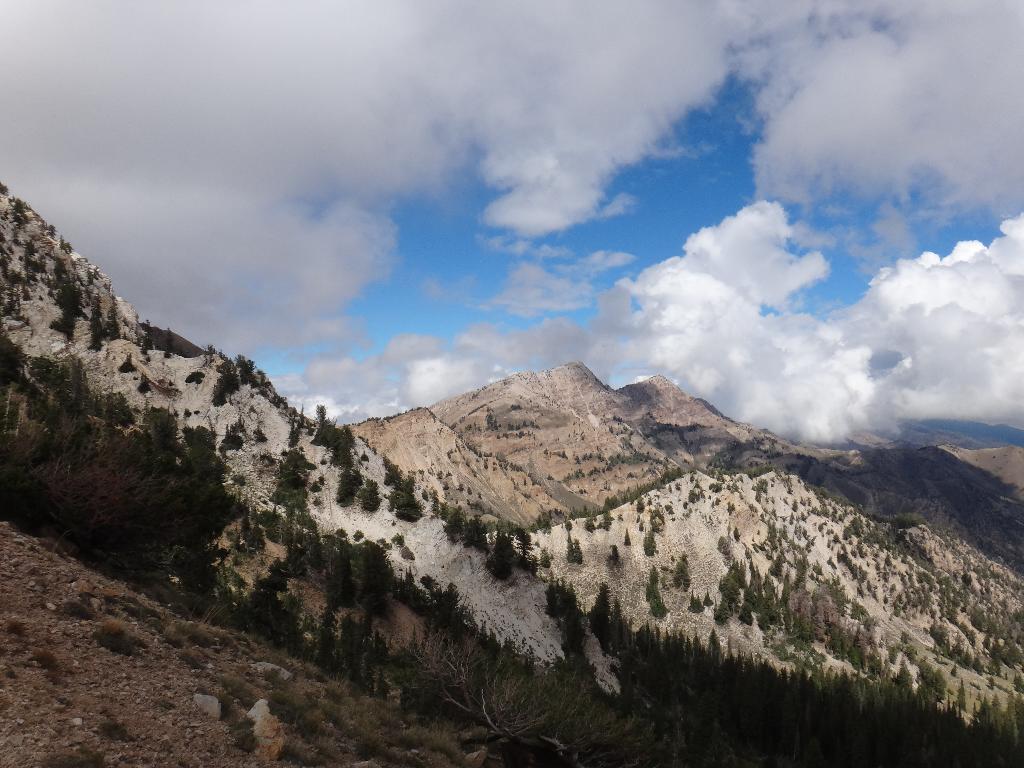
At 11,031, the peak is still in the range of many of the more popular Wasatch front peaks and is quite rugged. The upper areas are alpine, with fantastic open ridges and rocky slopes. For the hardcore, it is of note that Deseret Peak is one of only 57 in the lower 48 that have greater than 5000' prominence. Like all peaks, afternoon thunderstorms are a real danger, especially on the exposed upper ridges. My pictures are from a late fall trip where a storm passed through mid-morning blanketing the area in clouds.
Why the name Deseret Peak? Before becoming the state of Utah, the Mormon state was called Deseret. The term Deseret comes from the Book of Mormon, where it means "honeybee". This name was chosen to represent the symbol of industry, and the productive and self-sufficient nature the Mormons were to posses in the new state.
Getting There
From Salt Lake City, travel west on I-80 toward Wendover.
- Take exit 99 (Grantsville/Tooele).
- Drive 3.0 miles to the junction with Utah Highway 138.
- Go right toward Grantsville.
- 9.8 miles from the junction, in the town of Grantsville, go left on the signed Wasatch National Forest road. (West St, which becomes Mormon Trail on the outskirts of town.)
- 5.1 miles after turning on the National Forest road, turn right onto the signed road to South Willow Canyon
- 3.0 miles after turning up S. Willow Canyon, the road turns to dirt. Keep going for 4.1 more miles to the roads end and trailhead.
Note: There is a campground at the trailhead, but it does not have water. There are also several campgrounds lower in South Willow Canyon.
Route Description
Summit: 3362 m ( 11031 ft. )
Trailhead: 2260 m ( 7415 ft. )
Follow the trail west as it works gradually uphill. In 10-15 minutes, it crosses a stream to an important junction. Just after the stream crossing, stay left at the junction, and contour around on the trail to where it turns west again. From here, follow the trail as it works its way west up Mill Fork, then very steeply switchbacks up to the ridge. Phew! The hard part is over.
At the top of the ridge is a four-way junction. Go right (north) following the trail up the ridgeline to the summit.
Return the same way, or, alternatively, continue following the ridge line/trail north/west. It circles around two gullies, then descends to a junction in Pockets Fork. Go right, descending to the stream crossing and junction you passed on the way up.
Maps

12T 363821E 4482615N
40°28'59"N 112°36'24"W
12T 363230E 4481935N
40°28'37"N 112°36'49"W
12T 362113E 4480034N
40°27'34"N 112°37'35"W