 Hiking
Clayton Peak
Hiking
Clayton Peak
Big Cottonwood Canyon
Overview
High on the ridge east of Brighton, Clayton Peak is an excellent hike. The views from the ridge and summit are spectacularly scenic. The trail meanders through Brighton Ski Resort and is a mix of forest and open ski runs. Though the route goes go up the ski resort, I found it still very scenic.
Clayton Peak is a good choice if looking for an outing from Brighton that is not as busy and crowded as the more popular lakes. Once you leave Dog Lake, you are unlikely to run into many other groups!
Getting There
Big Cottonwood Canyon is on the east side of the Salt Lake City Valley. Get there by taking I-215 to the east, taking exit 6 off the interstate and heading east.
Follow 6200 South which becomes Wasatch Blvd for 1.8 miles to the stop light and signs for Big Cottonwood Canyon.
Turn left at the light and reset your odometer.
Drive up Big Cottonwood Canyon 14 miles to the small community of Brighton. At the loop, go right, with Brighton Ski resort just ahead. Parking in the large parking lot near the main Brighton Ski Resort Building.
Route Description
To Dog Lake (0.85 miles)
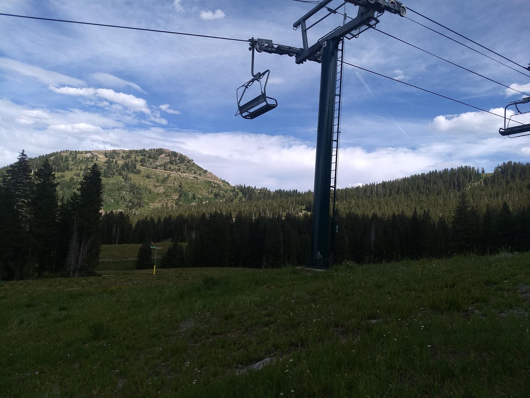
From the Brighton parking lot, go just right (south) of the main Brighton building. A path leads up the slope, then heads right and passes between large logs to become a single narrower track. The single track switchbacks up the hillside, crossing under the ski lifts, before heading more south after a short steep section. The junction to Dog Lake is reached, go left here, then almost immediately left again on the signed Clayton Peak Trail.
To The Ridge (1.55 miles from Dog Lake)
The trail begins ascending through the dense forest. This shaded section of trail climbs then crosses under a ski lift. After this first crossing under the ski lift, the ski resort is ever-present, as the trail meanders across the slopes and climbs alongside a ski resort maintenance road. Continue up to the ridge, where the trail joins the summer maintenance road.
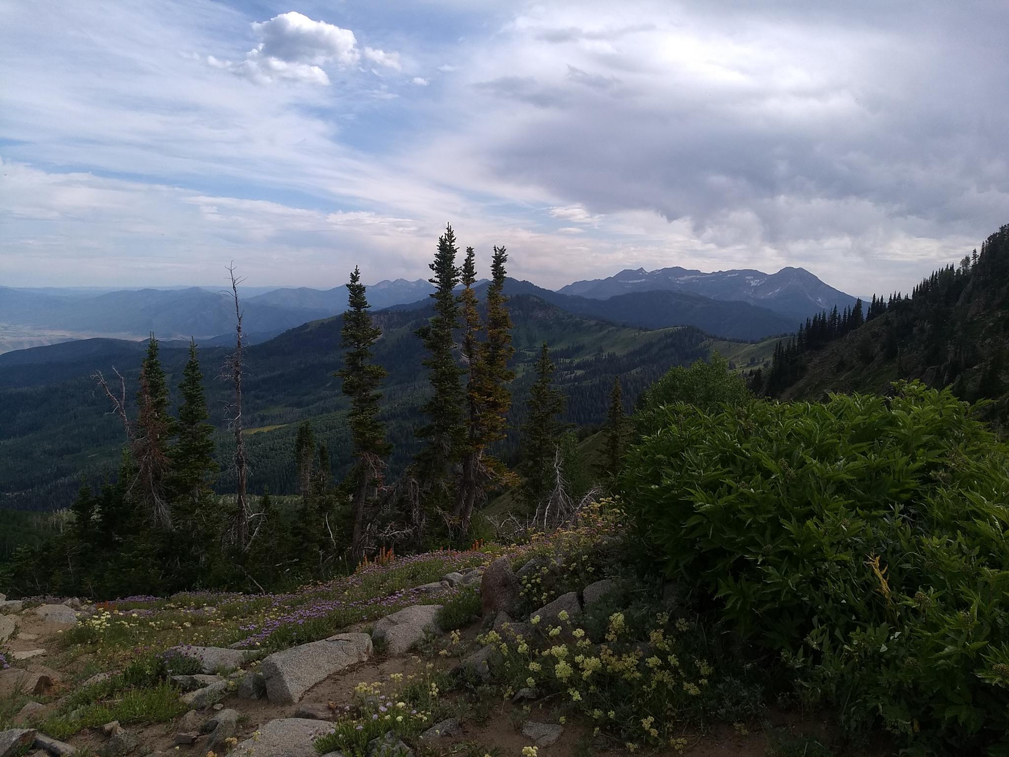
From the pass, Mount Timpanogos is visible to the south, as are views to the east of the Heber Valley.
To Clayton Peak (0.75 miles from the Ridge)
Follow the maintenance road north as it goes along the ridge. Within just a few minutes, as the road begins cutting across the hillside, take the side trail that leaves the road and heads toward the summit Clayton Peak.
After a few small switchbacks, the trail crosses to the east side of the ridge. Be sure, if you lose the trail in boulders, to re-find it! On my trip up, I lost the trail and boulder hopped directly up the ridge. On the way down, the trail proved much easier!
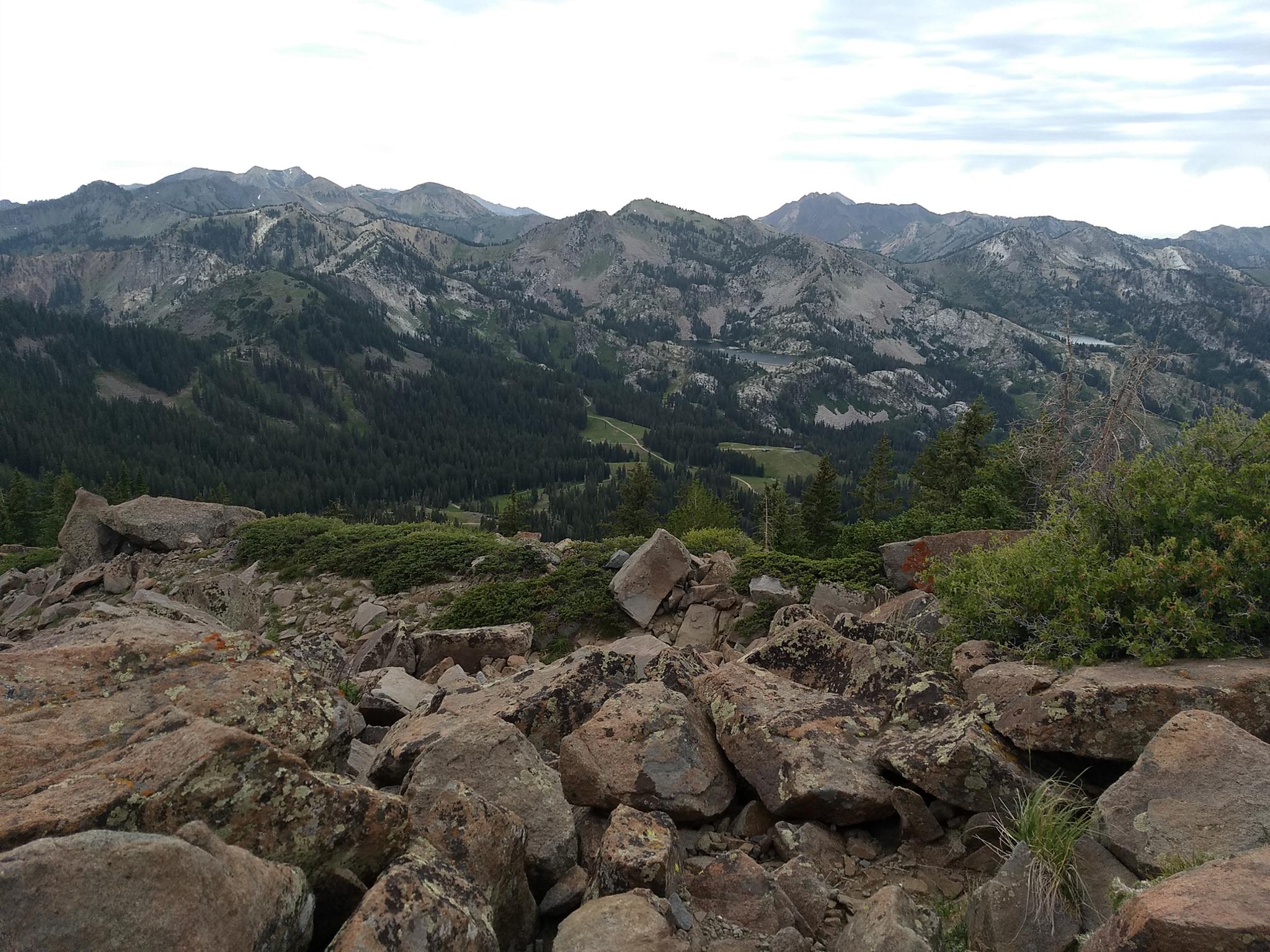
Once on the summit, Lackawaxen Lake is the lake directly below the peak. Heber Valley is to the east and the dramatic Big Cottonwood Canyon to the west. Return the same way.
Photos
Maps

12T 450565E 4494340N
40°35'54"N 111°35'03"W
12T 450661E 4494222N
40°35'50"N 111°34'59"W
12T 450580E 4493357N
40°35'22"N 111°35'02"W
12T 450574E 4493333N
40°35'22"N 111°35'03"W
12T 452411E 4493234N
40°35'19"N 111°33'44"W
12T 452029E 4492811N
40°35'05"N 111°34'01"W
12T 452613E 4493476N
40°35'27"N 111°33'36"W