 Hiking
Middleberg Waterfall
Hiking
Middleberg Waterfall
Cederberg South Africa
Overview
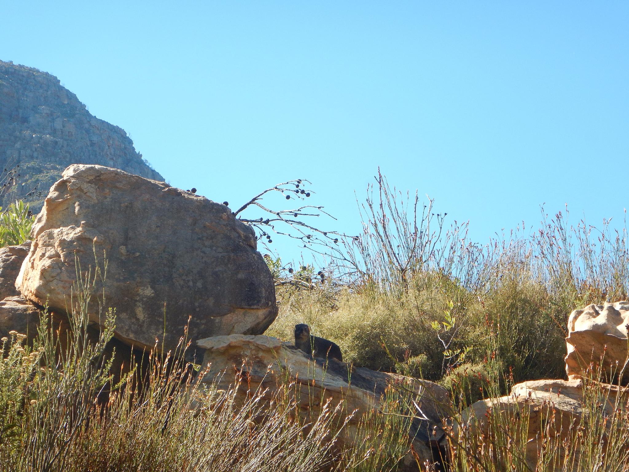
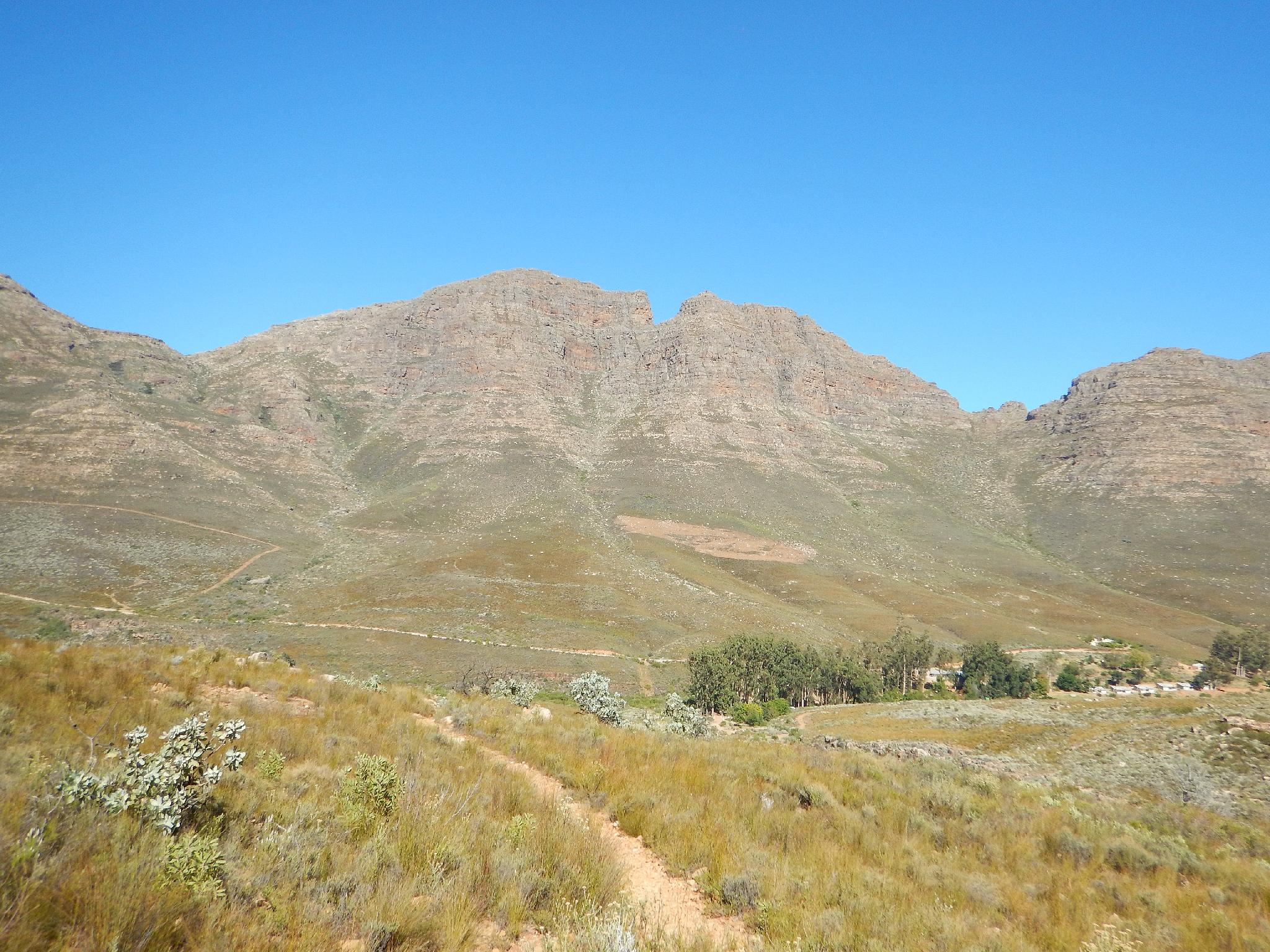
Middleberg Waterfall was my introduction to hiking in the Cederberg area and I think makes a good intro to the area. The hiking is steep and hot in summer months, but the waterfall destination makes a great cooling off spot. If visiting in the summer, start early! The views and waterfall make this a prime destination and good family hike if everyone can make the steep hike.
The trail starts from Algeria Campground and visitor center. This is an excellent campground, and a good spot to start your visit in the Cederberg area and get information on current conditions.
Getting There
Reaching Algeria Campsite starts from the N7. From Clanwilliam go west to the N7 and travel south about 25 km. Turn left onto the road signed for Algeria and follow it about 18 km to the Algeria Campsite and Visitor Center.
Route Description
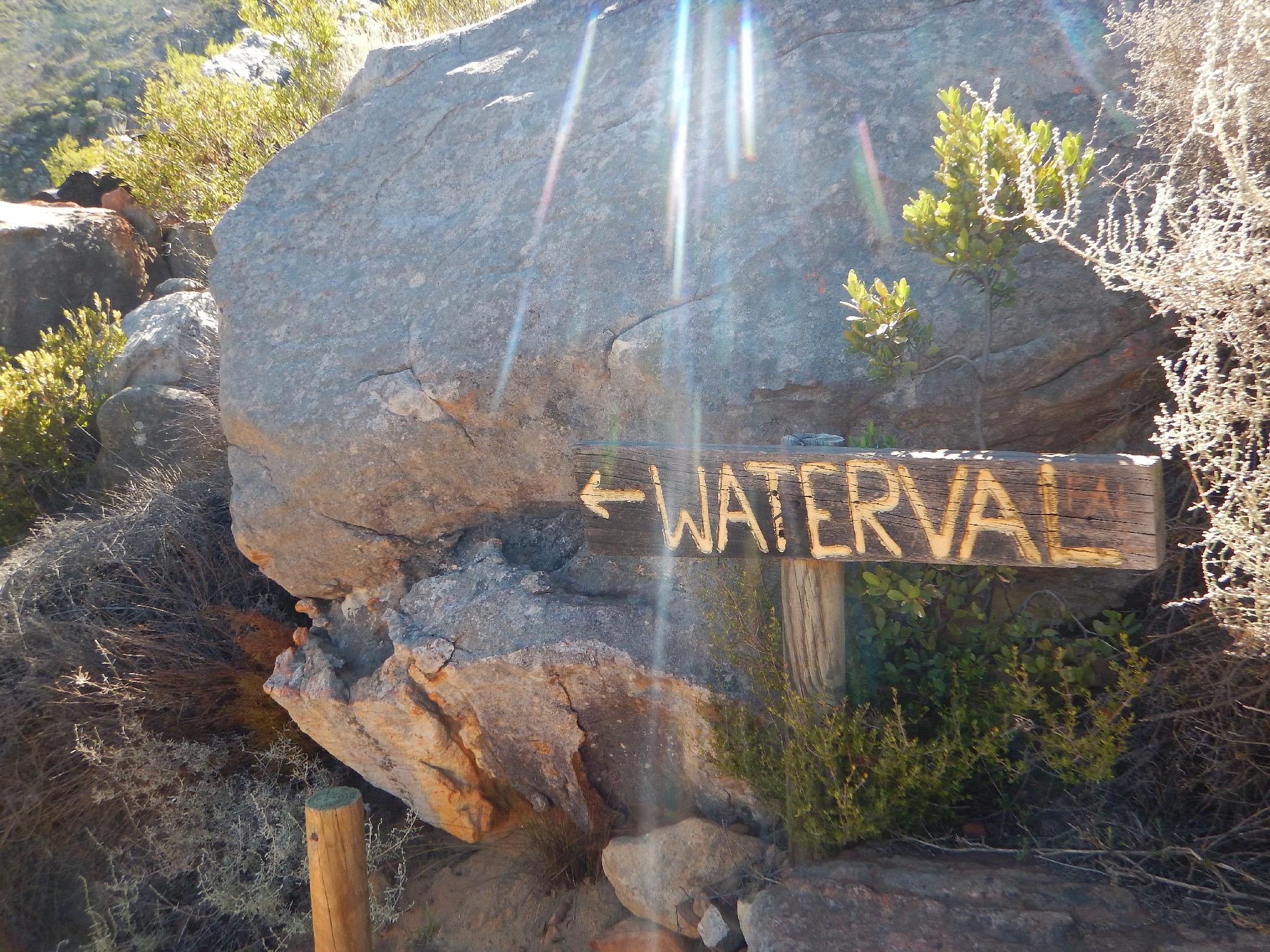
From the campground follow the road (crossing the stream) to the highest campsite where the road is closed and the trail begins. Just after leaving the campground, the road splits. Go right, crossing a small stream on some concrete pipes. Right after this crossing, the trail reaches a signed junction. Go left here toward Middleberg Falls.
The trail begins a long gradual ascent up the hillside. About 30-40 minutes from the trailhead another junction is reached. Go right here. Left goes down to the stream. The trail begins a series of steep zig-zags before reaching a final signed junction. Go left a short distance down to the falls proper.
Return the same way, or go right at the junction that is at the bottom of the zig-zags. That trail crosses the stream, then descends back to the campground on the other side of the drainage from the approach trail.
Maps

34H 317544E 6416425N
32°22'27"S 19°03'38"E
34H 317843E 6416452N
32°22'27"S 19°03'50"E
34H 317894E 6416510N
32°22'25"S 19°03'52"E
34H 317922E 6416492N
32°22'25"S 19°03'53"E
34H 318411E 6417454N
32°21'54"S 19°04'12"E
34H 318604E 6417630N
32°21'49"S 19°04'19"E
34H 318600E 6417834N
32°21'42"S 19°04'19"E