
 Sea of Slickrock
Western Henry Mountains
Overview
The Henry Mountains are geologically unique for their laccolithic origins. This means they were created by a mass of igneous rock that intruded between layers of sedimentary rocks. This is why you can see sandstone layers surrounding much of the bases of the range. The geology makes the mountain range a fascinating place for geology students but also a spectacular place for hikers and sightseers.
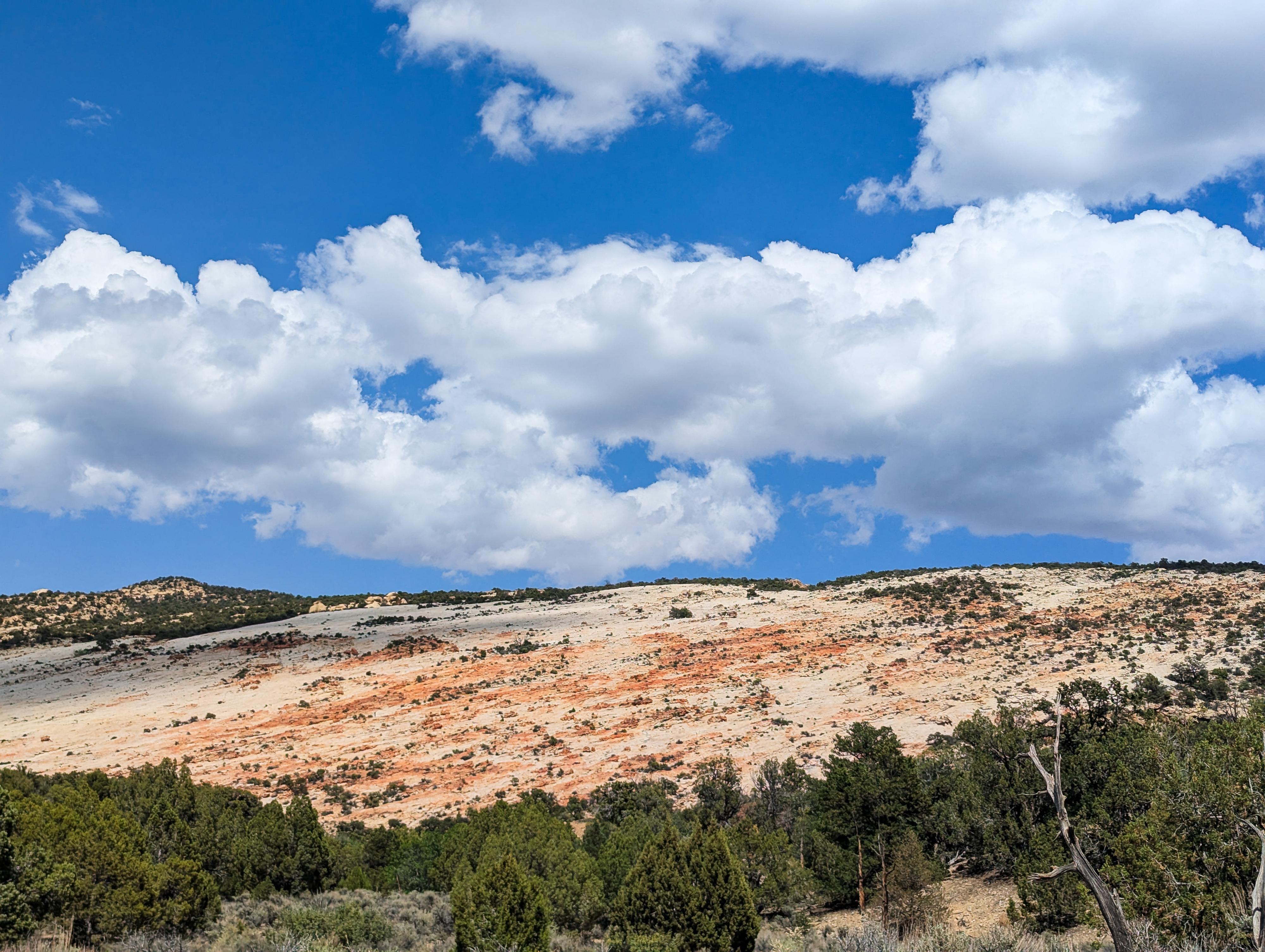
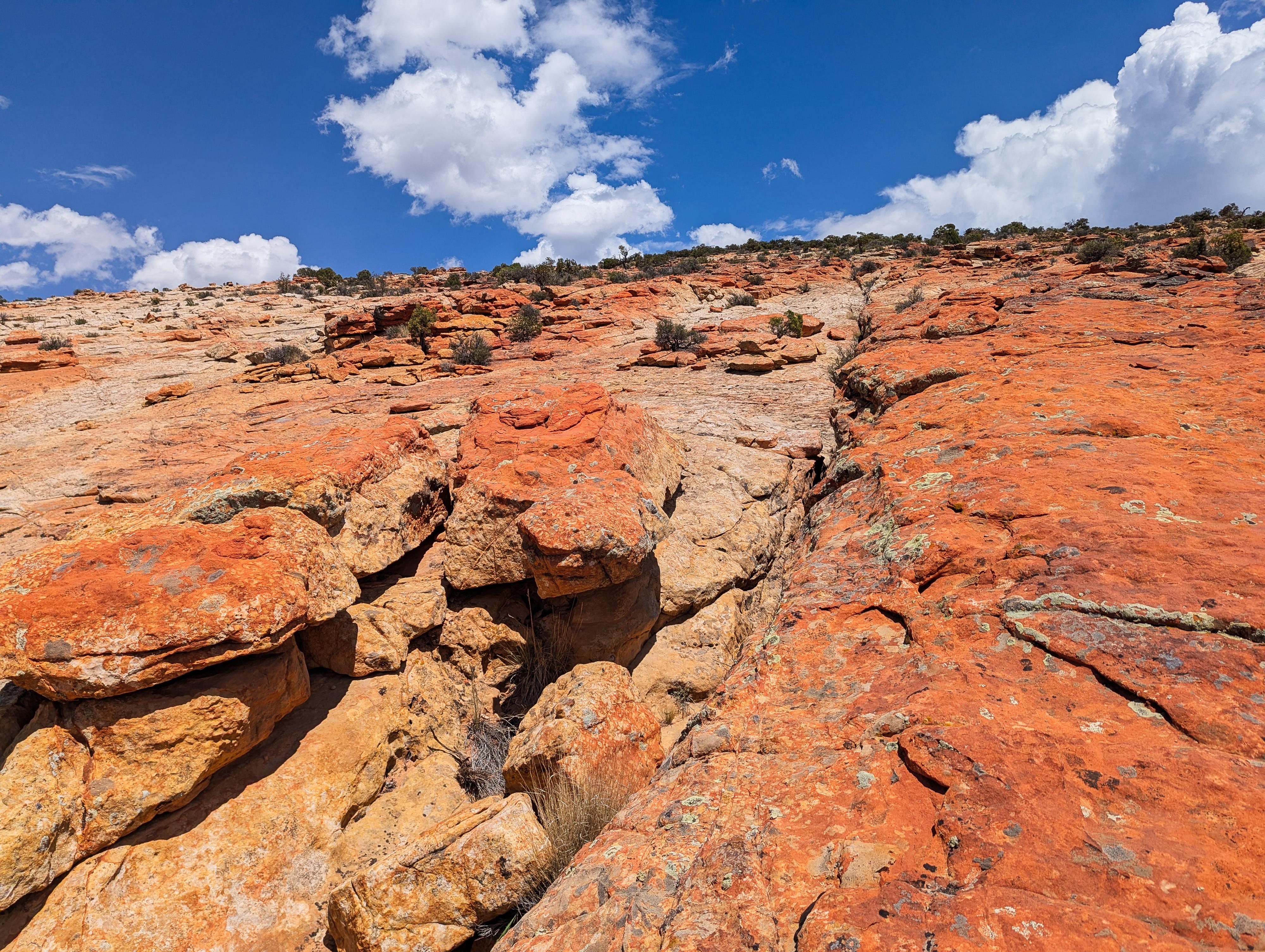
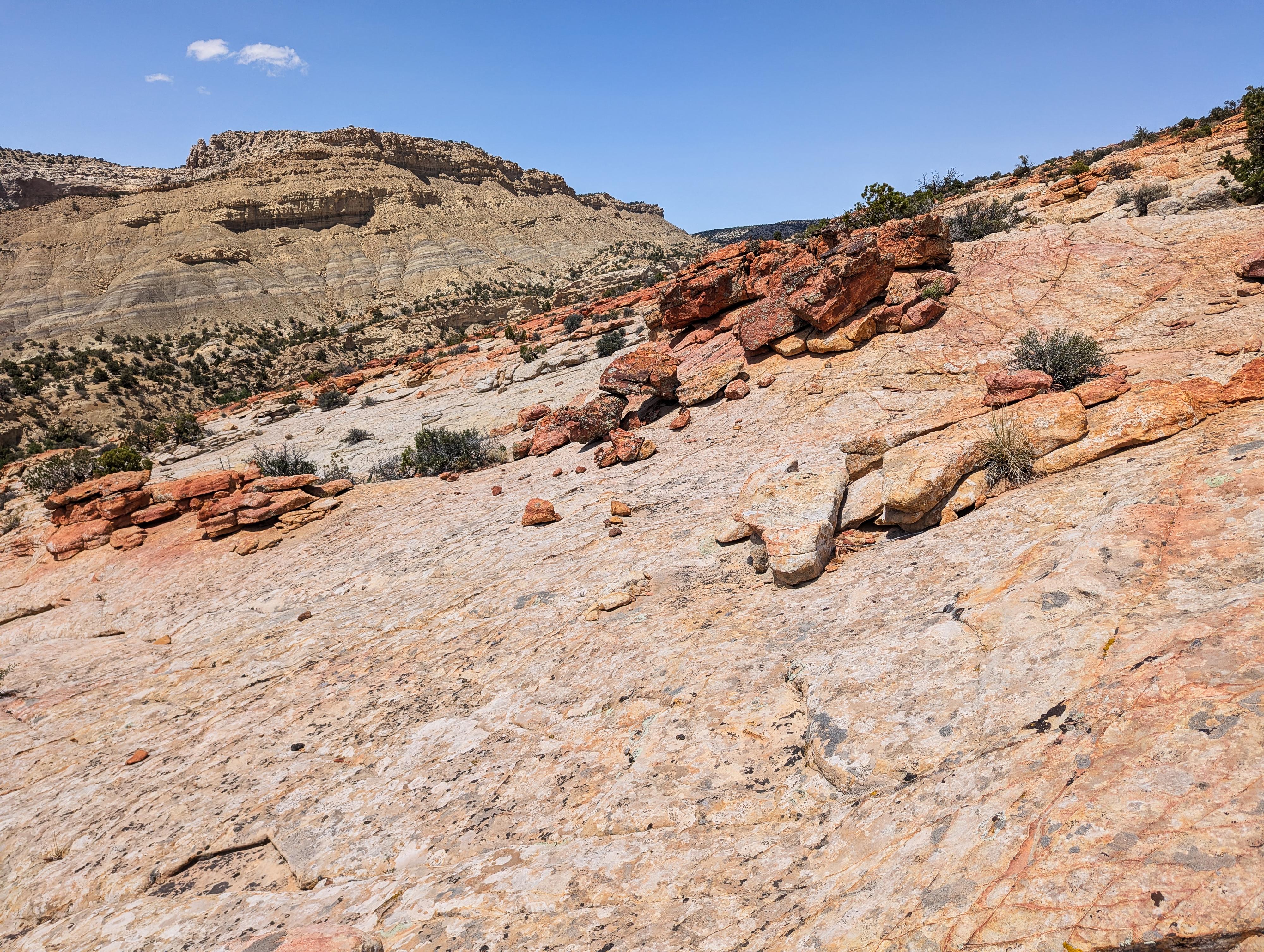
On the west side of the range is what I call the Sea of Slickrock, where a large expanse of white and red sandstone has uplifted. It looks very out of place with the rest of the surrounding environment. Time and water has worn runnels down the uplift, in places creating small pools that grasses have been able to survive and create ecosystems in. I found it a colorful and photogenic place to wander. It can be viewed from the road, but a short hike to visit the slickrock slope up close is worth the time, in my opinion.
Getting There
Travel east out of Capitol Reef National Park on highway 24. Just past the park, 0.25 miles, is the well signed Notom road. Turn right onto the Notom Road and follow it for 13.6 miles to the Sandy Ranch Junction on the left (east) side of the road.
Route Description
From the trailhead, it is an easy stroll up the wash to the base of the slickrock. Wandering as your motivation dictates. On the west side (nearest the road) is a collapsed area with an alcove or two in it. This area is quite brushy; not recommended!
Return the same way.
Photos
Videos
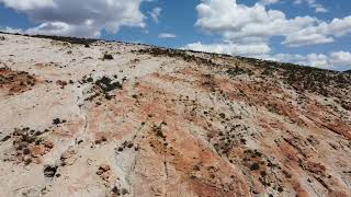
An aerial view of the sea of slickrock on the west side of the Henry Mountains
Maps

12S 508604E 4208696N
38°01'33"N 110°54'07"W