 Hiking
Sugarloaf Mountain
Hiking
Sugarloaf Mountain
Little Cottonwood Canyon
Overview
Sugarloaf Mountain is one of the easiest of the Wasatch 11.000’ peaks, and a great introduction to peak bagging in the Wasatch Mountains. The lofty summit has big views of the surrounding ridges and peaks, while the hike up passes the ever stunning Cecret (Secret) Lake. Sugarloaf Mountain is #27 out of a list of 30 peaks in the Wasatch with an elevation of 11,000’ or more, though just barely with its elevation of 11,051’.
Second, the trailhead described here starts in Albion Basin. See the trailhead section for the details on this an alternatives if it is busy/full.
Getting There
Little Cottonwood Canyon is on the east side of the Salt Lake City Valley. Get there by following I-215 to the east, taking exit 6 off the interstate and heading east toward the mountains.
Follow 6200 South which becomes Wasatch Blvd for 1.8 miles to the stop light and signs for Big Cottonwood Canyon. Continue south (straight) through the light an additional 2.3 miles to a junction and light. Stay left here, reaching the mouth of Little Cottonwood Canyon in an additional 1.6 miles.
From the mouth of Little Cottonwood, travel up the canyon 11.2 miles to the signed Secret Lake Trailhead parking, just before the Albion Basin Campground.
Route Description
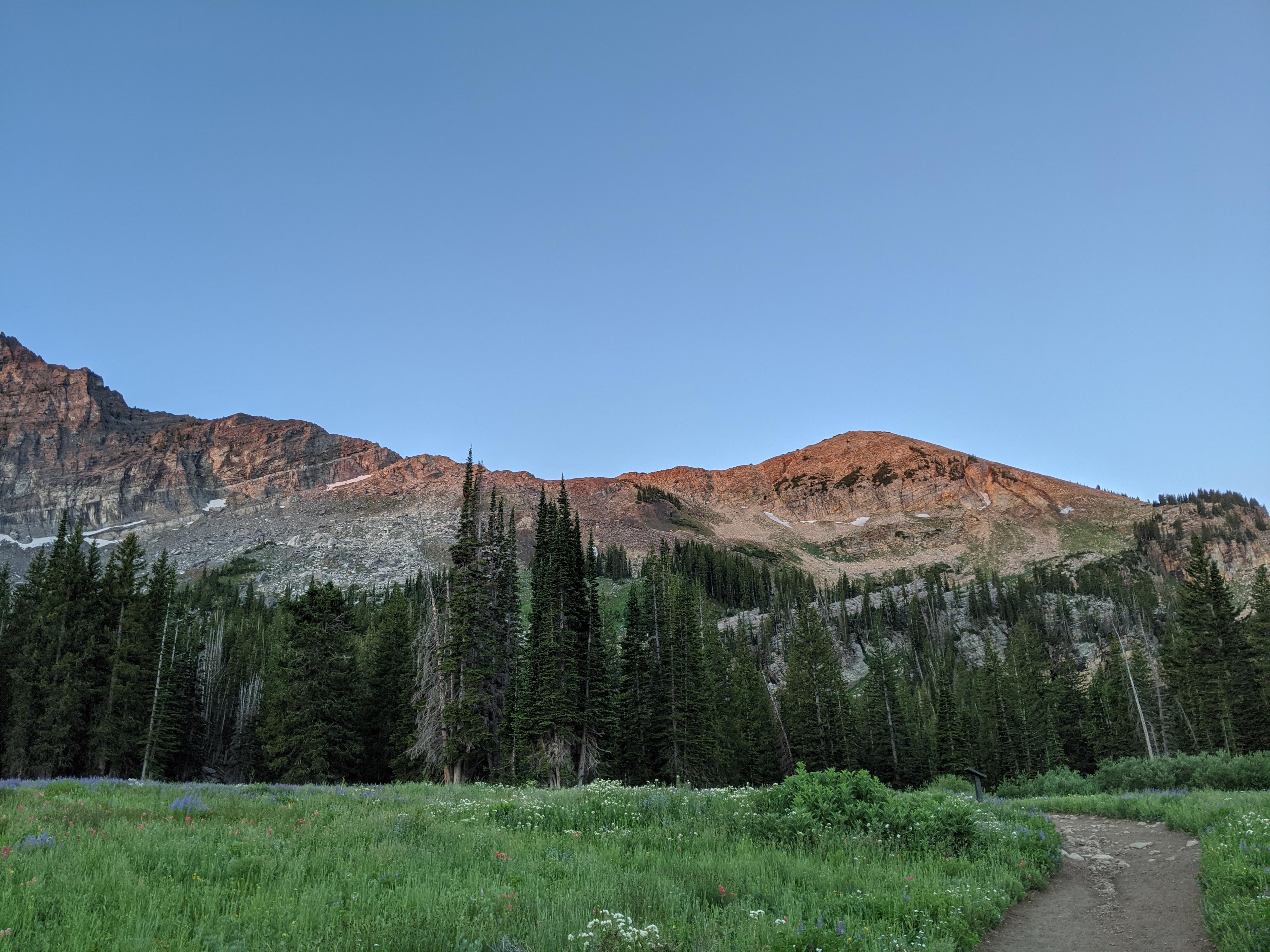
From the trailhead, find the Cecret Lake trail on the south side of the campground pay booth. It is wide, popular, and well worn. Follow it as it becomes a road, then back to a trail en route to Cecret Lake. Follow the trail all the way to the lake. Sugarloaf Mountain is the obvious mountain on the south side of the lake. Go left (east) around the lake. There are a few social trails here, but they generally coalesce into a more well-defined trail as this trail begins climbing south and up.
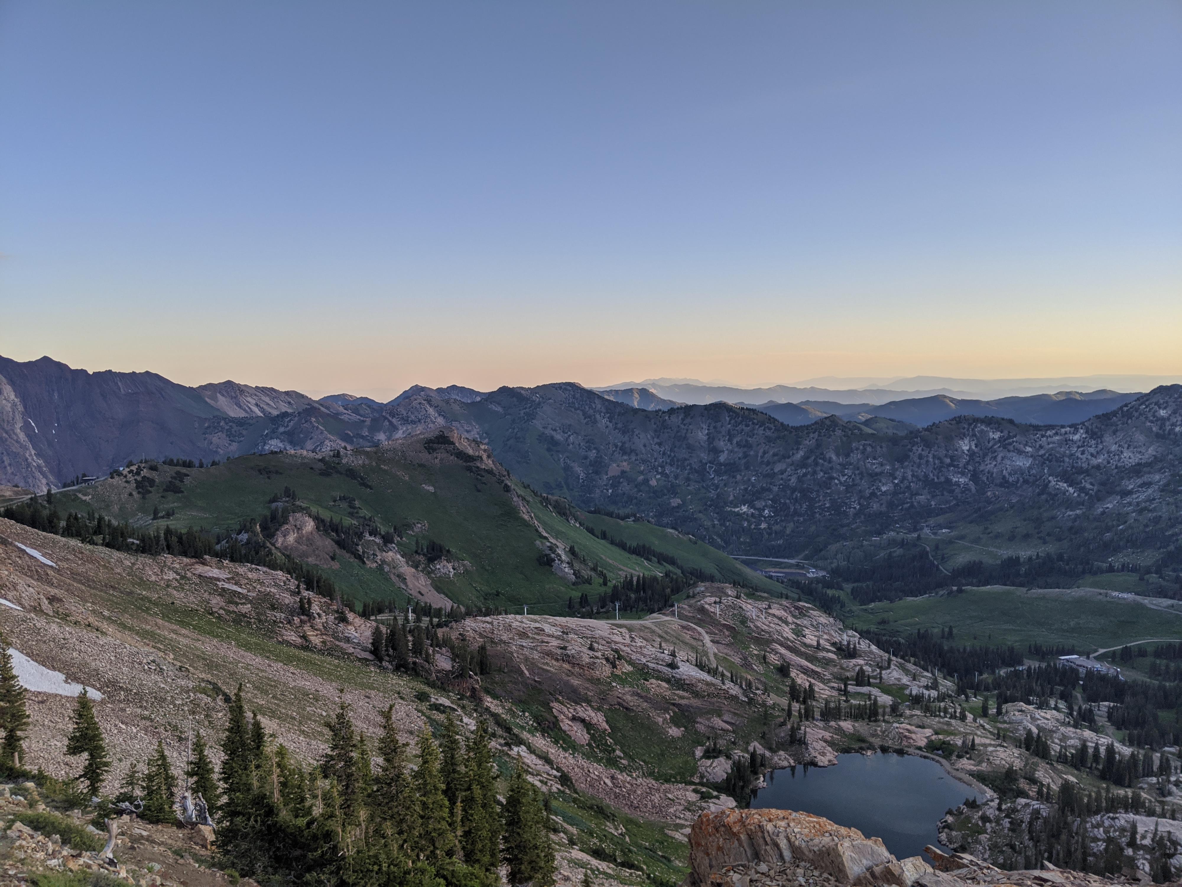
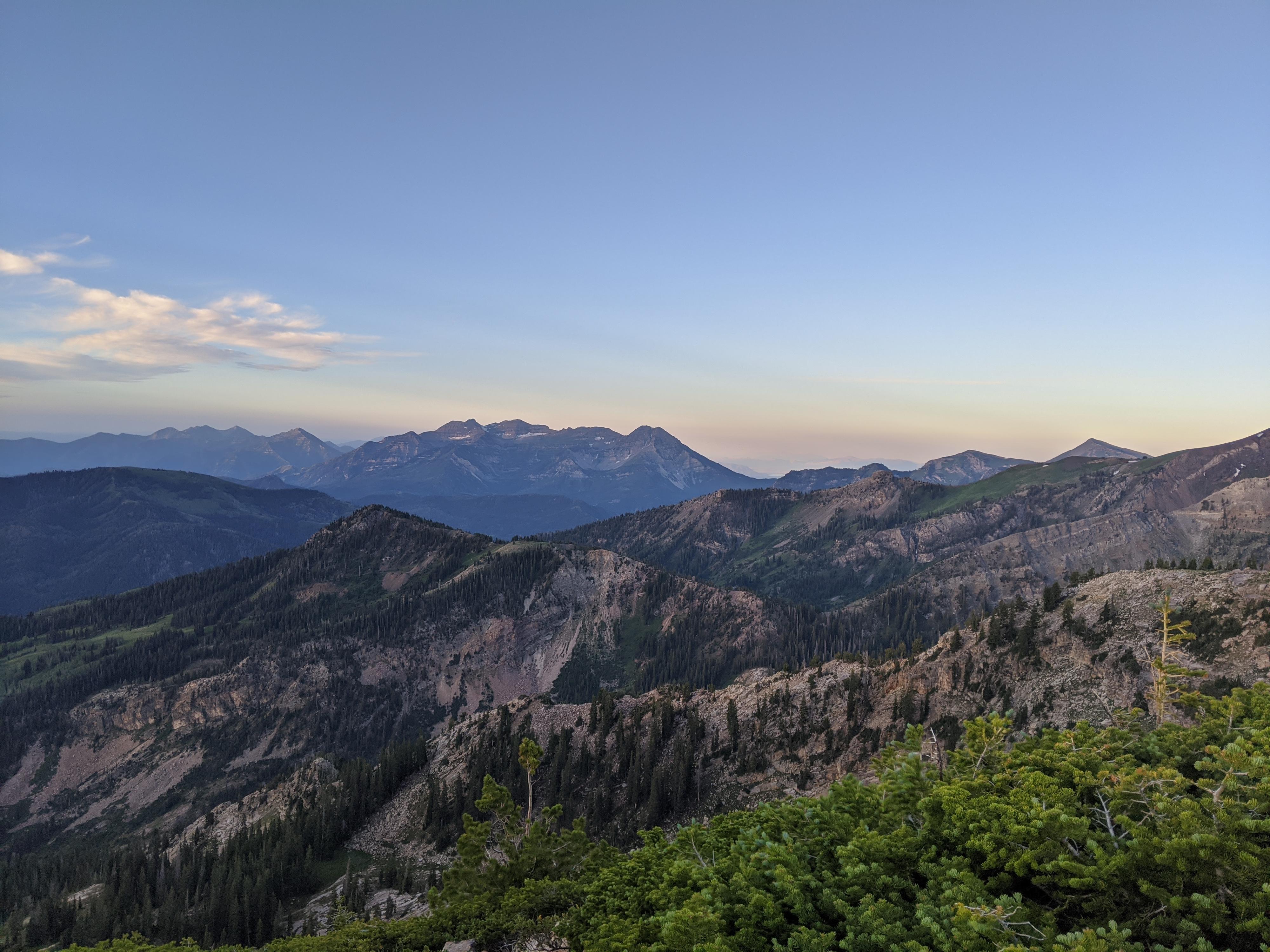
The trail begins a series of wide sweeping switchbacks as it begins climbing toward the ridge. As you get higher on the ridge, the switchbacks steepen and become shorter. Just before the ridge, the trail splits. Go right to continue to Sugarloaf Mountain, though my recommendation is to go left to the ridge, take in the views, and catch your breath first. The trail up the east ridge of Sugarloaf is rocky, but straightforward. The views of Little Cottonwood below, and Timpanogos in the distance to the south are stunning.
From the summit, the ski lifts of the ski resort are obvious to the west. Go west from the summit. Initially the rock makes finding the trail a tiny bit difficult, but within 1-2 minutes you should find a worn social trail working down the west ridge toward the ski lift. This is rocky and even a little brushy in spots, but easy to find and follow. It is only 10-15 minutes from the summit to Sugarloaf Pass and the top of the ski lift.
Follow the service road north as it contours to Germania Pass. Just before the pass, it splits. Go right, descending through a notch to another junction. Go right again, descending steeply. When Cecret Lake is visible on the right through the trees, follow a social trail to the lake. From the lake, re-trace your approach back to the trailhead.
Photos
Maps

12T 448089E 4492053N
40°34'40"N 111°36'48"W
12T 447869E 4491689N
40°34'28"N 111°36'57"W
12T 447402E 4491384N
40°34'18"N 111°37'17"W
12T 447106E 4490758N
40°33'57"N 111°37'29"W
12T 446680E 4490881N
40°34'01"N 111°37'48"W
12T 446544E 4491373N
40°34'17"N 111°37'54"W
12T 447136E 4491577N
40°34'24"N 111°37'28"W