 Hiking
Albion Meadows
Hiking
Albion Meadows
Little Cottonwood Canyon
Overview
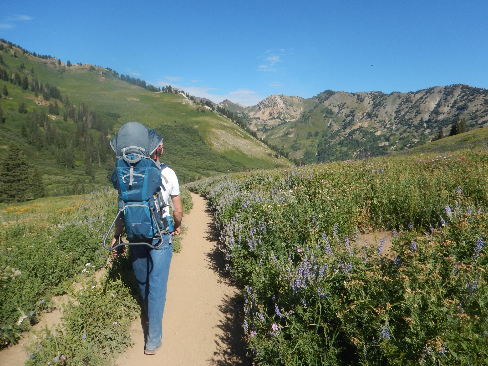
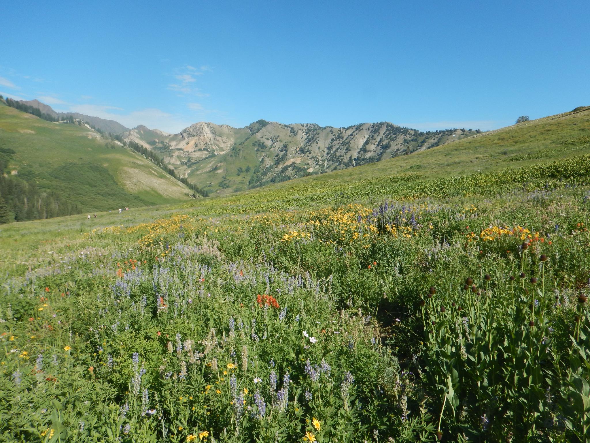
Tucked up near the top of Little Cottonwood Canyon, the Albion Meadows trail is a wildflower lover’s dream! The trail delightfully meanders through alpine meadows that, during summer, are often coated in a technicolor blanket of wildflowers. Though peak wildflower viewing may only last a few weeks , the meadow is quite pretty and recommended even after the peak.
We visited in mid-July at just about peak bloom. A week later, when we visited again, the peak had clearly passed, but the hike was still stunning. Due to the elevation change across the trail, you may hit the peak on one section of the trail even if it has passed higher or lower on the trail. The lower section of the trail was much prettier than the higher section on our second visit, which was the reverse of the week before.
The length of the trail and accessibility make it popular for families with young children.
Second, of course, you can hike this as an out and back.
Getting There
Little Cottonwood Canyon is on the east side of the Salt Lake City Valley. Get there by following I-215 to the east, taking exit 6 off the interstate and heading east toward the mountains.
Follow 6200 South which becomes Wasatch Blvd for 1.8 miles to the stop light and signs for Big Cottonwood Canyon. Continue south (straight) through the light an additional 2.3 miles to a junction and light. Stay left here, reaching the mouth of Little Cottonwood Canyon in an additional 1.6 miles.
From the mouth of Little Cottonwood, travel up the canyon. At 7.9 miles, the Gold Miners Daughter lodge and resturaunt are on the right. This is the trailhead for Lower Albion Meadows. Continue to 8.3 miles to the next large parking lot on the right and the Albion Grill./Alta Sports buildings. This is the upper Albion Meadows Trailhead. (And parking lot for the Sunnyside Lift.)
Route Description
Lower Albion Meadows (45 minutes / 1.3 miles round trip)
The lower trail isn't nearly as pretty or interesting in my opinion but can have amazing flowers depending on the timing.
The lower trail starts from the parking lot of the Goldminers Daughter Lodge. This is the large parking lot on the right just after the Peruvian Lodge.
From the parking lot, go south to the Wildcat Lift. This is right behind the ski shop. At the base of the Wildcat Lift, the Albion Meadows trail heads east as a wide path. It soon enters the trees and meanders to the Albion Grill in about a half mile.
Upper Albion Meadows (1-2 hours / 2.6 miles round trip)
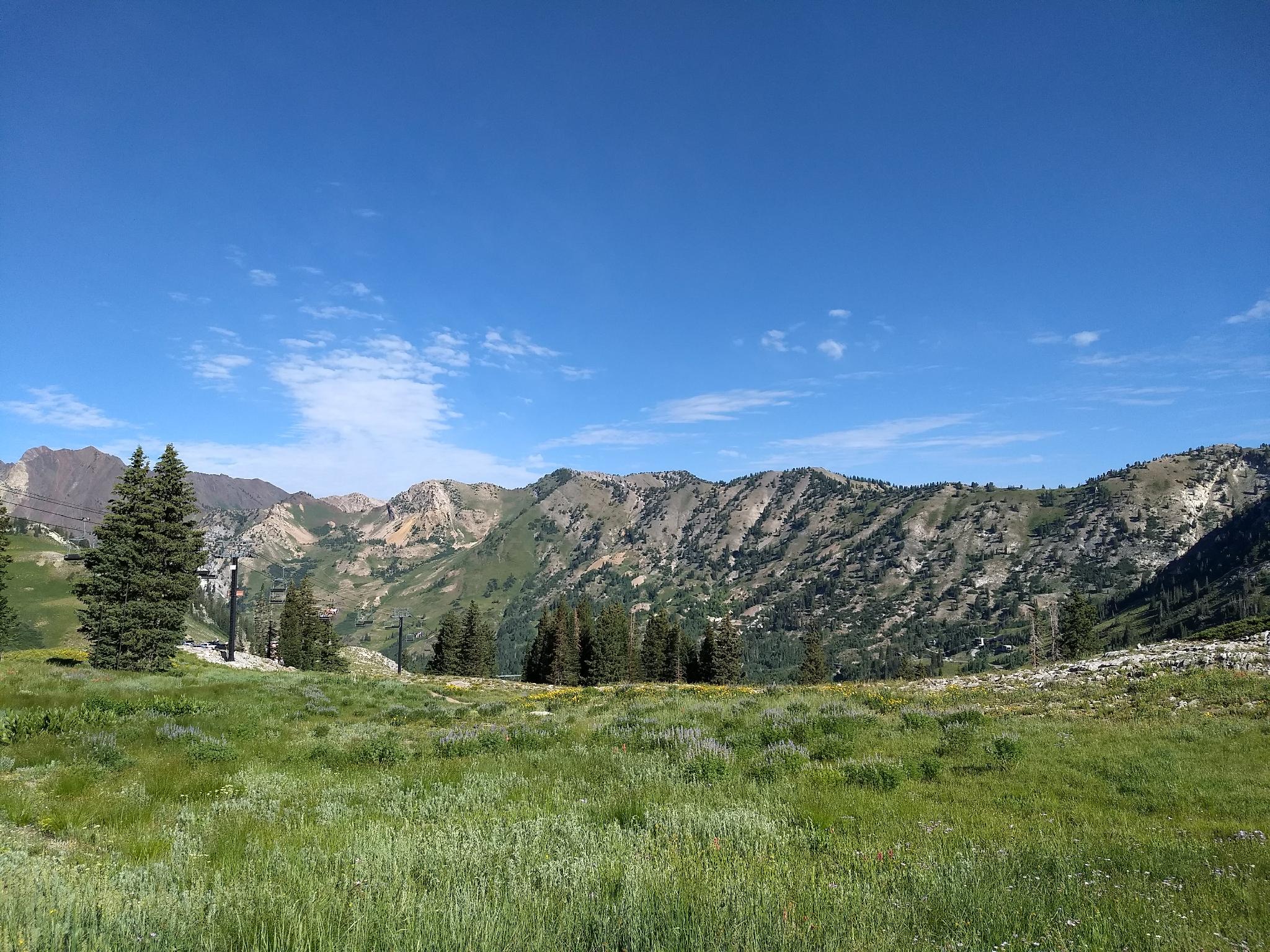
The Upper Albion Meadows trail begins at the Albion Grill/Sunnyside Lift parking lot. This is the last large parking lot on the right as you head up the canyon, right before the Albion Basin Road information booth, and just before the Albion Basin Road turns to dirt.
From the parking lot, pick up the Albion Basin Meadows trail on the south side of the grill, near the Sunnyside lift.
The trail lazily meanders up through trees before entering the broad meadow. There are many excellent photo opportunities both up and down the canyon. Stay left at the Germania Pass Jct.
At the next major junction, left goes to the Albion Basin Road, or stay right then left before Alf's Restaurant to reach the Albion Basin Campground and Secret Lake Trail.
Maps

12T 445927E 4493275N
40°35'19"N 111°38'20"W
12T 446819E 4493533N
40°35'27"N 111°37'42"W
12T 447641E 4492646N
40°34'59"N 111°37'07"W
12T 447378E 4492552N
40°34'56"N 111°37'18"W
12T 447861E 4492516N
40°34'54"N 111°36'58"W
12T 447605E 4492405N
40°34'51"N 111°37'09"W
12T 448084E 4492075N
40°34'40"N 111°36'48"W