 Hiking
Wall and Twin Lakes
Hiking
Wall and Twin Lakes
Western Uintas
Overview
Like Ruth Lake, this is one of the more popular outings along the Mirror Lake Highway. On a busy summer weekend, the trailhead can fill up early and stay full all day. This trailhead is also the starting point for Clyde Lake and surrounding lakes.
Don't let the crowds deter, however, as Wall Lake is popular for a reason! The relatively short and easy hike to the lake through the forest opens dramatically at the lake with up close views of the high Uinta Mountain peaks that surround the Mirror Lake Highway area. If you're looking for more solitude, continuing on to Twin Lakes makes an excellent addition that tends to reduce the crowds a bit.
Pack a lunch, bring the kids, and pack fishing gear, the lake makes an excellent place to hang out. This area also makes a great short family backpack.
Getting There
The trailhead is the Crystal Lake Trailhead off the Mirror Lake highway. This is at milepost 25.5, which is 25.5 from Kamas Utah on highway 150 or about 52 miles south of Evanston Wyoming on Highway 150. The Mirror Lake highway is closed from late fall to about Memorial Day. The trail would likely be very snowy until late June in most years.
At milepost 25.5, turn left onto the paved road signed from Trial Lake and Crystal Lake Trailhead. Stay left a short distance from the highway, but take the second right 0.7 miles from the highway. Follow this 0.5 miles to its end at the Crystal Lake Trailhead.
The trailhead has a pit toilet and a large parking. There are also several campgrounds in the area.
Route Description
The route is easy, assuming you find the correct trail! From the parking area, find the trail on the east side of the parking area. This is more narrow than the one on the north east side of the parking area that goes to Clyde Lake, etc... This is the trail that does NOT start by the restroom.
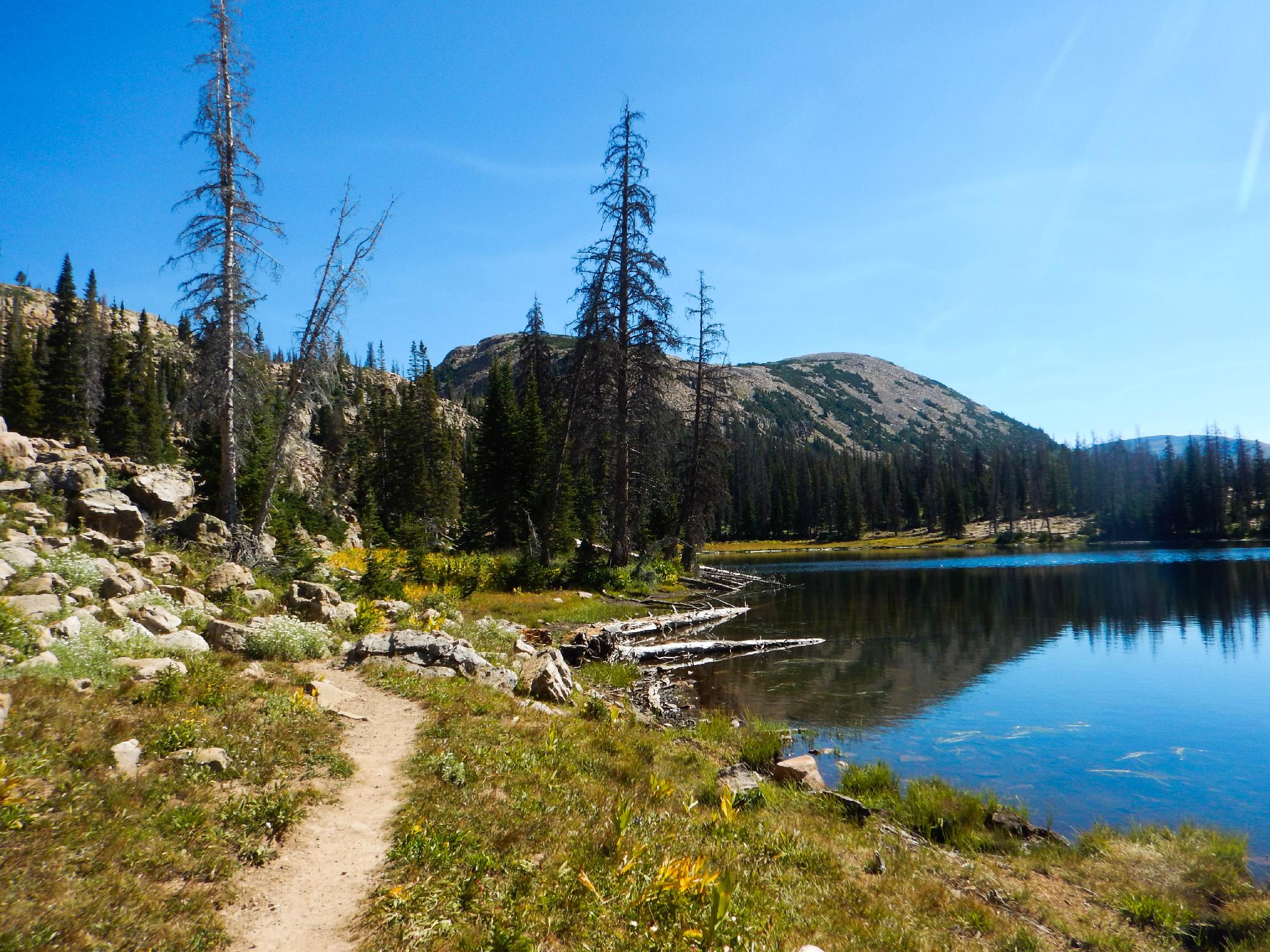
Follow the trail as it crosses between Lily Lakes and begins a small climb. The trail meanders north along the hillside and soon pops out at the southern end of Wall Lake. Stunning views! A junction here goes down to Trial Lake on the right. Be sure on your return to stay on the correct trial that returns to the trailhead.
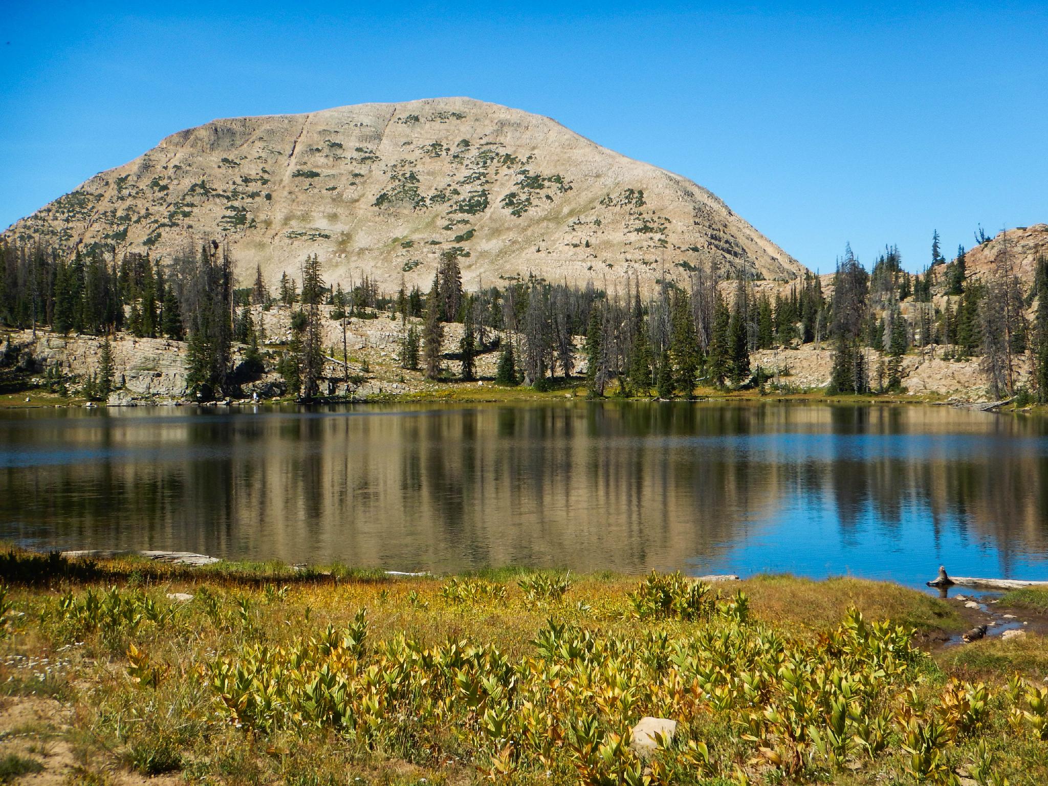
The towering peak to the west of Wall Lake is Mount Watson. The notched mountain north of the lake is, not creativley named, Notch Mountain.
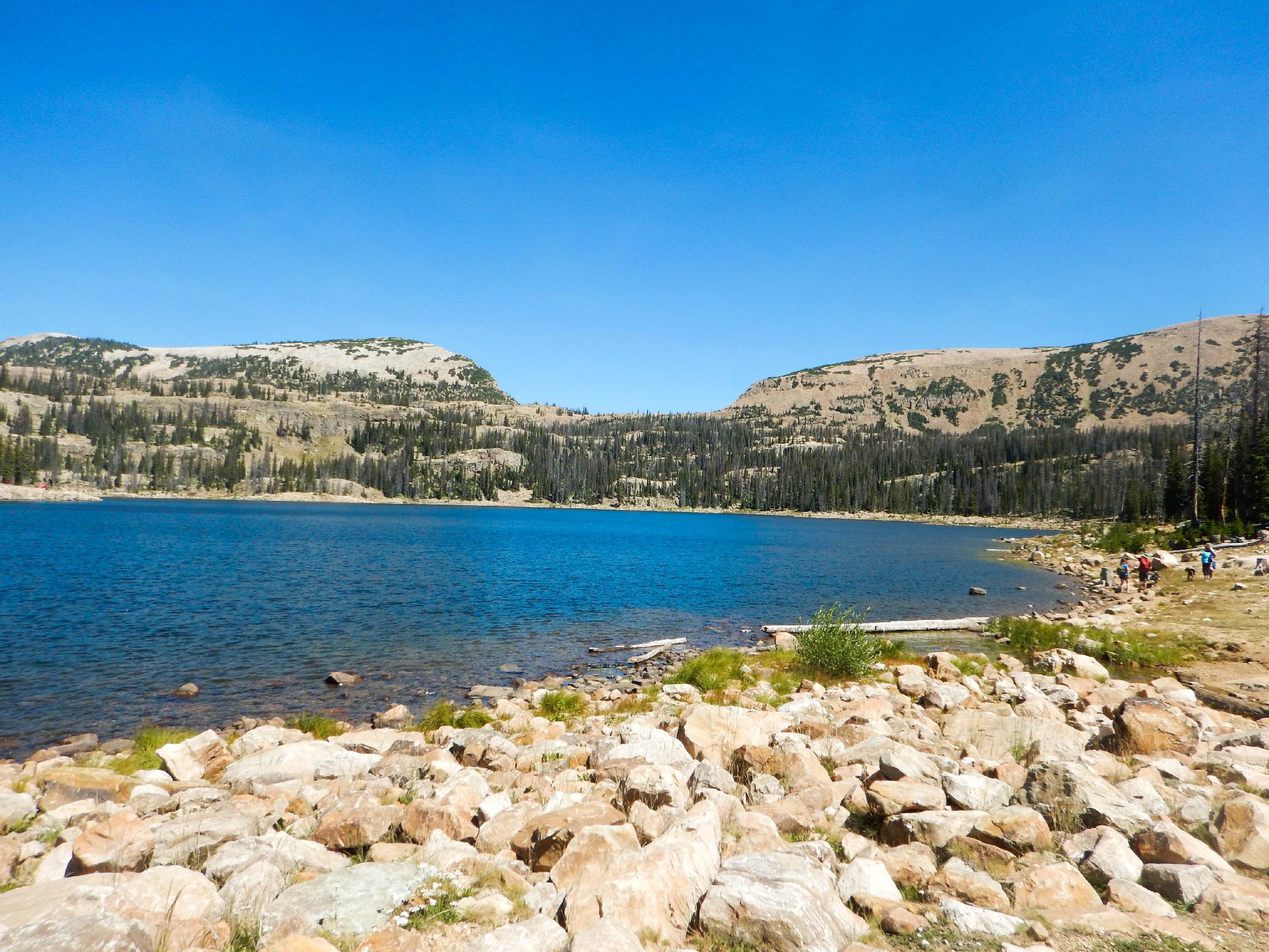
If looking to extend the hike, continue on the trail north toward Notch Mountain. The trails climbs through stunning high mountain forest, passing a string of small ponds along the way. A junction just before the base of Notch Mountain marks the way to Twin Lakes. Go left about 5-10 minutes to the large and (generally) less busy lake.
Maps

12T 503097E 4503433N
40°40'54"N 110°57'48"W
12T 503104E 4503639N
40°41'01"N 110°57'48"W
12T 503381E 4504851N
40°41'40"N 110°57'36"W
12T 503604E 4505990N
40°42'17"N 110°57'26"W
12T 503285E 4506049N
40°42'19"N 110°57'40"W