Cottonwood Creek Natural Bridge |

Joes Valley

Hiking Cottonwood Creek Natural Bridge - Joes ValleyRoadside Attraction Cottonwood Creek Natural Bridge - Joes Valley Cottonwood Creek Natural Bridge

Joes Valley

Overview

RATING: Roadside Attraction / Short Hike

Sat

Rain and snow showers before noon, then a chance of showers and thunderstorms. Mostly cloudy. High near 50, with temperatures falling to around 48 in the afternoon. Northwest wind 6 to 26 mph, with gusts as high as 39 mph. Chance of precipitation is 80%.

50 | 36

Sun

A slight chance of rain showers after noon. Mostly sunny, with a high near 53. Northwest wind 15 to 21 mph, with gusts as high as 31 mph. Chance of precipitation is 20%.

53 | 36

Mon

Sunny, with a high near 62.

62 | 35

Tue

Sunny, with a high near 65.

65 | 38

Wed

Sunny, with a high near 62.

62 | 41

View Full Weather Details
SEASON: Any
GEAR: Standard Hiking Gear

Sat

Rain and snow showers before noon, then a chance of showers and thunderstorms. Mostly cloudy. High near 50, with temperatures falling to around 48 in the afternoon. Northwest wind 6 to 26 mph, with gusts as high as 39 mph. Chance of precipitation is 80%.

50 | 36

Sun

A slight chance of rain showers after noon. Mostly sunny, with a high near 53. Northwest wind 15 to 21 mph, with gusts as high as 31 mph. Chance of precipitation is 20%.

53 | 36

Mon

Sunny, with a high near 62.

62 | 35

Tue

Sunny, with a high near 65.

65 | 38

Wed

Sunny, with a high near 62.

62 | 41

View Full Weather Details
The natural bridge from up close.

The natural bridge from up close.

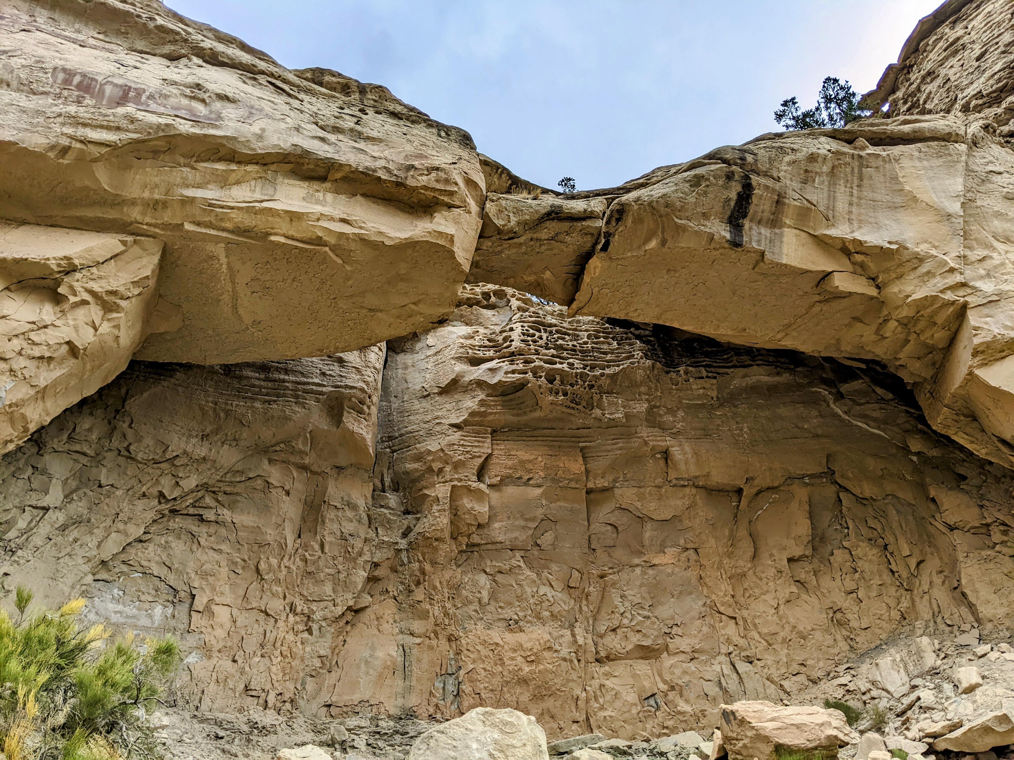
I don’t consider myself a passionate arch/natural bridge hunter, but I will admit, when I visit one, I always really enjoy seeing it. On a trip to Joe’s Valley, the lighting was perfect to see a natural bridge in Cottonwood Creek. The bridge, visible from the road, is not separated from the cliff behind it by much, but has a wide span.

The route to the bridge turned out to be steep and loose, but fun none the less. I would not make a special trip to see the bridge, but if you are in the area or a natural bridge enthusiast, it is a worthwhile stop.

The bridge from the trailhead. Just above center left.

The bridge from the trailhead. Just above center left.

Getting There

From Orangeville Utah, head west on UT-29 toward Joes Valley. About 7 miles west of Orangeville is a major junction with Cottonwood Creek Road. Go right (north) up the paved Cottonwood Creek road for 1.3 miles. The natural bridge is on the right side of the road here. There isn't a large pullout, but several spots where the shoulder is wide enough to park off the road.

Note: There are good BLM camping sites in Cottonwood Creek, as well as around Joes Valley Reservoir. The area is popular with climbers that boulder on the large boulders near the road.
Cottonwood Creek view from near the bridge.

Cottonwood Creek view from near the bridge.

Route

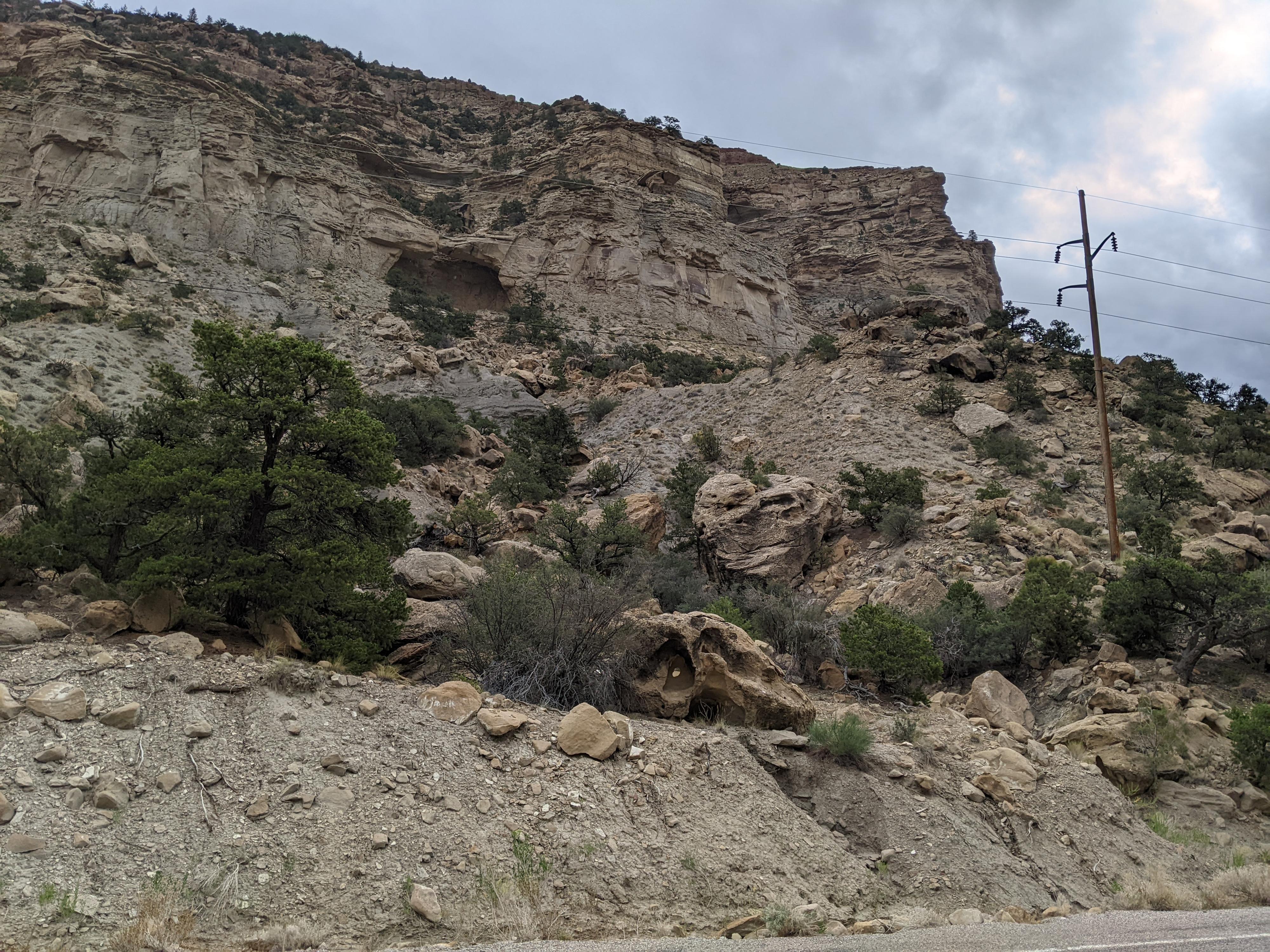
The bridge is visible on the east side of the road at the first obvious cliff band. It may be tough to pick out in some light conditions.

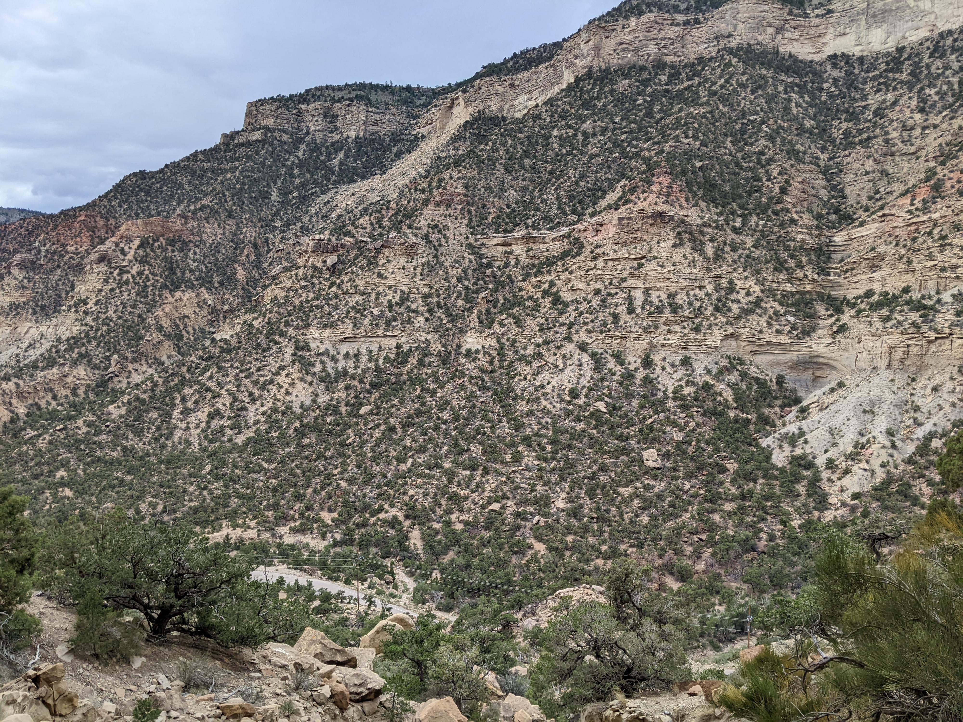
To visit, I went directly up the wash that appears to go to the natural bridge. This proved to be steep, loose, and with a couple of dirt climbing problems. Diane choose the ridge just to the south of this wash, heading up near the power pole. It seemed more stable and a much better route. Expect a bit of looseness either way, but I would recommend the ridge over trying to go up the wash proper.


Photos

Maps

Route / 0.30 miles / Elevation Range 6,679 - 6,953 ft.
Printable Maps:
Trailhead

12S 484413mE 4349491mN

N39° 17' 41" W111° 10' 51"

Natural Bridge

12S 484614mE 4349535mN

N39° 17' 42" W111° 10' 42"

Comments

Want to make a comment? Login and let yourself be heard.