 Hiking
Devils Castle Loop
Hiking
Devils Castle Loop
Little Cottonwood Canyon
Overview
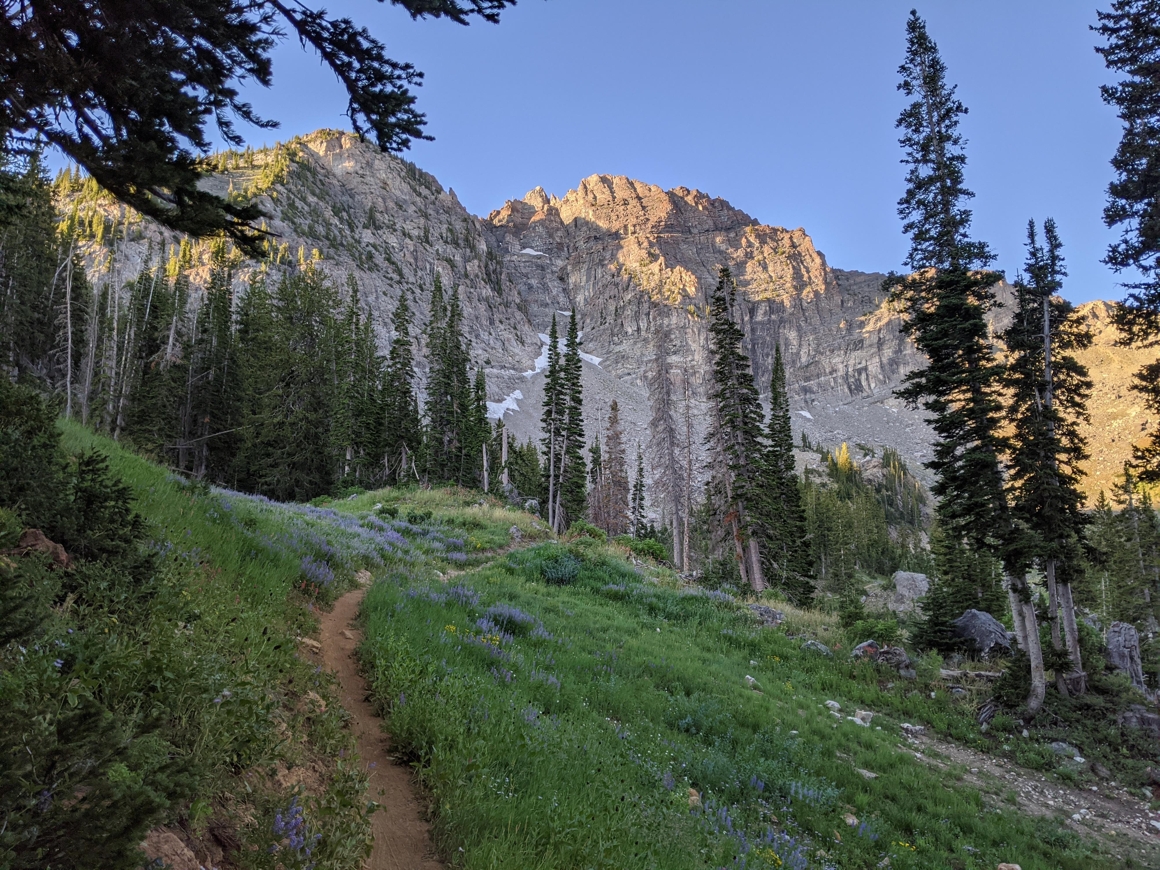
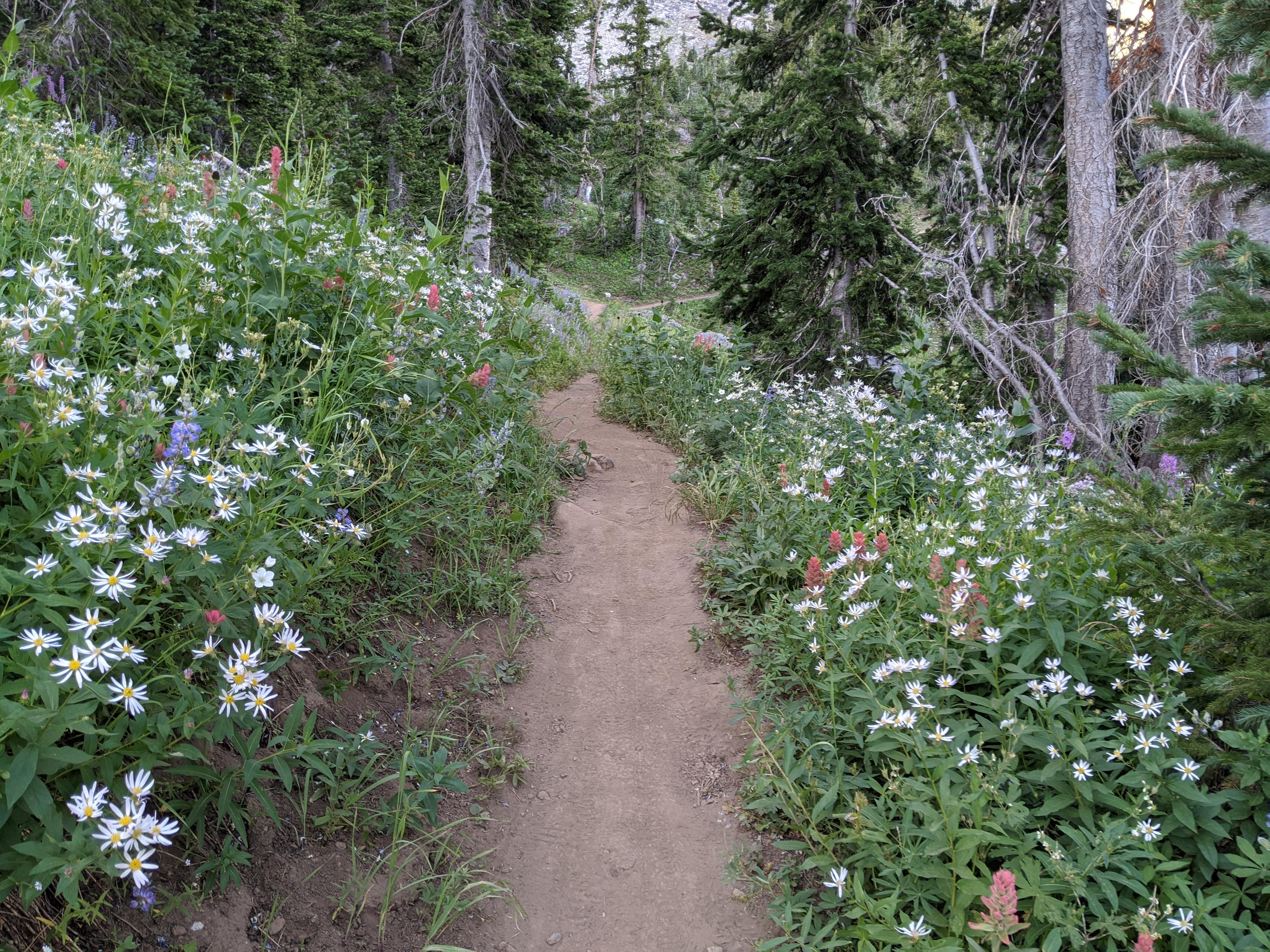
Secret Lake sees most of the hiking traffic in Albion Basin, but the Devils Castle Hiking Loop is a nice alternative. The loop sees quite a bit less traffic than Secret Lake though it has equally amazing wildflowers and views. It is a treat to get so close to the base of the forbidding limestone Devils Castle. The distance, and general ease of hiking making this loop very well suited to families or others looking for something short to-do. If you are staying at the Albion Basin campground (or are in the area), this is an excellent early morning or late evening hike. I have often seen deer and moose in the grassy areas in the morning.
Getting There
Little Cottonwood Canyon is on the east side of the Salt Lake City Valley. Get there by following I-215 to the east, taking exit 6 off the interstate and heading east toward the mountains.
Follow 6200 South which becomes Wasatch Blvd for 1.8 miles to the stop light and signs for Big Cottonwood Canyon. Continue south (straight) through the light an additional 2.3 miles to a junction and light. Stay left here, reaching the mouth of Little Cottonwood Canyon in an additional 1.6 miles.
From the mouth of Little Cottonwood, travel up the canyon 11.2 miles to the signed Secret Lake Trailhead parking, just before the Albion Basin Campground.
Route Description
From the parking area, the trail takes off from the campground booth/gate. It is well marked, wide, and easy to follow. The area is crisscrossed with trails that go to the campground and Albion Basin. Stay on the most used trail. It merges with a dirt road.
Shortly (1 minute) after passing two large boulders that are on the right side of the dirt road, look for a single track on the left. Take this single track. There are many side trails in the basin, generally stay on the most used trail. It heads generally south and soon enters a forested section. Devils Castle looms to the south and is a good landmark throughout your hike.
The trail begins ambling more east as it nears Devils Castle. An immense boulder on the right with a wooden seat makes an excellent stopping point to take in the views of Devils Castle and Albion Basin. The large boulder is known as Tacos Diablos Boulder to climbers and hosts a few stout climbs.
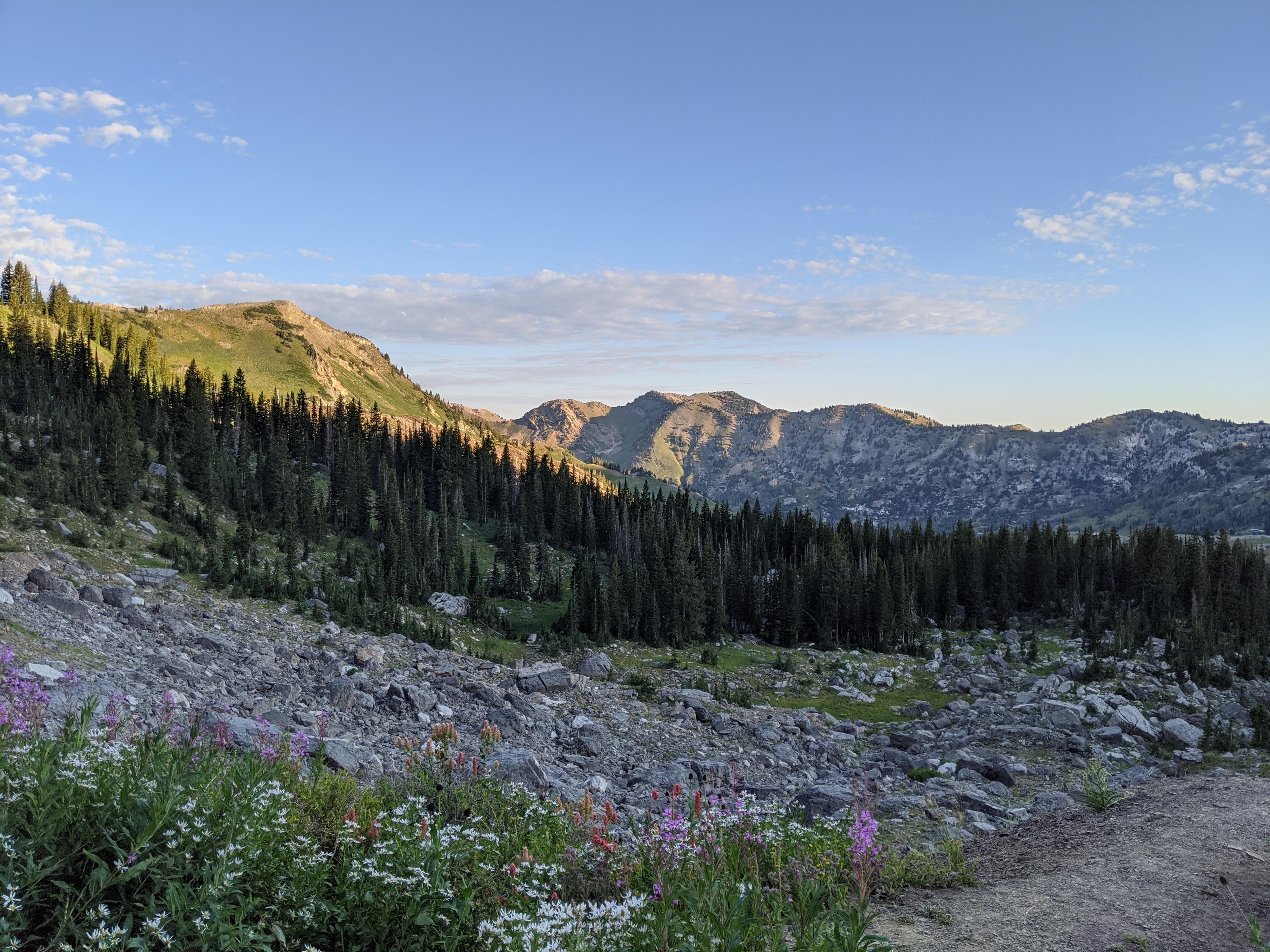
Continuing from the boulder, the trail follows the base of Devils Castle east for a few minutes, then heads north and intersects with the Point Supreme service road. Go left here, following the service road. It meanders down through some houses, then reaches the Albion Basin Campground. Go left on the campground road to circle back to the trailhead.
Maps

12T 448112E 4492097N
40°34'41"N 111°36'47"W
12T 447849E 4491058N
40°34'07"N 111°36'58"W
12T 447949E 4491677N
40°34'27"N 111°36'54"W
12T 448243E 4491438N
40°34'20"N 111°36'41"W