 Hiking
Mount Aire
Hiking
Mount Aire
Millcreek Canyon
Overview
With about 1900 feet of gain in 1.75 miles, Mt. Aire is a steep hike. In spite of its steepness, or maybe because of it, this is a popular summit with hikers. The summit isn't particularly high compared to others in the area, but the hike is pleasant and the views excellent. This is a good summer or fall hike. Dog are permitted on all days, but only allowed off leash on odd numbered days. If bringing a dog, be sure to bring plenty of water. There is a small intermittent stream and springs the first part of the hike, but about 80% of the hike is dry.
Getting There
Millcreek Canyon is on the east side of the Salt Lake Valley, just south of I-80 and Parleys Canyon. To get there, take I-215 South from I-80 and take exit 4 off of I-215 and go left (east) on 3900 South.
Turn left on Wasatch Blvd just after crossing under the highway, then the next right on Millcreek Canyon Road.
0.7 miles from the junction of Wasatch Blvd and Millcreek Canyon Road is the entrance to Millcreek Canyon and the pay booth.
Mileage below is from the pay booth.
0.7 miles - Pipeline Trailhead on the left (north).
2.4 miles - Church Fork Trailhead on the left (north).
2.5 miles - Desolation on the right (south).
3.4 miles - Porter Fork on the right (south).
3.5 miles - Burch Hollow Trailhead (north).
3.7 miles - Terraces Picnic Area / Trailhead (south).
3.8 miles - Winter Gate Closure
5.4 miles - Elbow Fork Trailhead (Mount Aire)
Route Description
From the Elbow Fork trailhead, follow the trail north. It parallels the stream quickly coming to the Lambs Canyon junction. Go left here, crossing a bridge and following the stream up. The stream dries up the farther up you get.
Near the pass, the trail enters a grove of aspen trees before cresting the ridge and offering the first big views. Catch your breath here, there is still 700' of elevation to be gained!
Mount Aire is to the right. Follow the trail as it steeply zig-zags up to the summit.
From the summit, Parleys Canyon is the first canyon to the north. Looking south the most prominent peak is Gobblers Knob, with Mount Raymond just to the right (west) of it with Baker Pass in between.
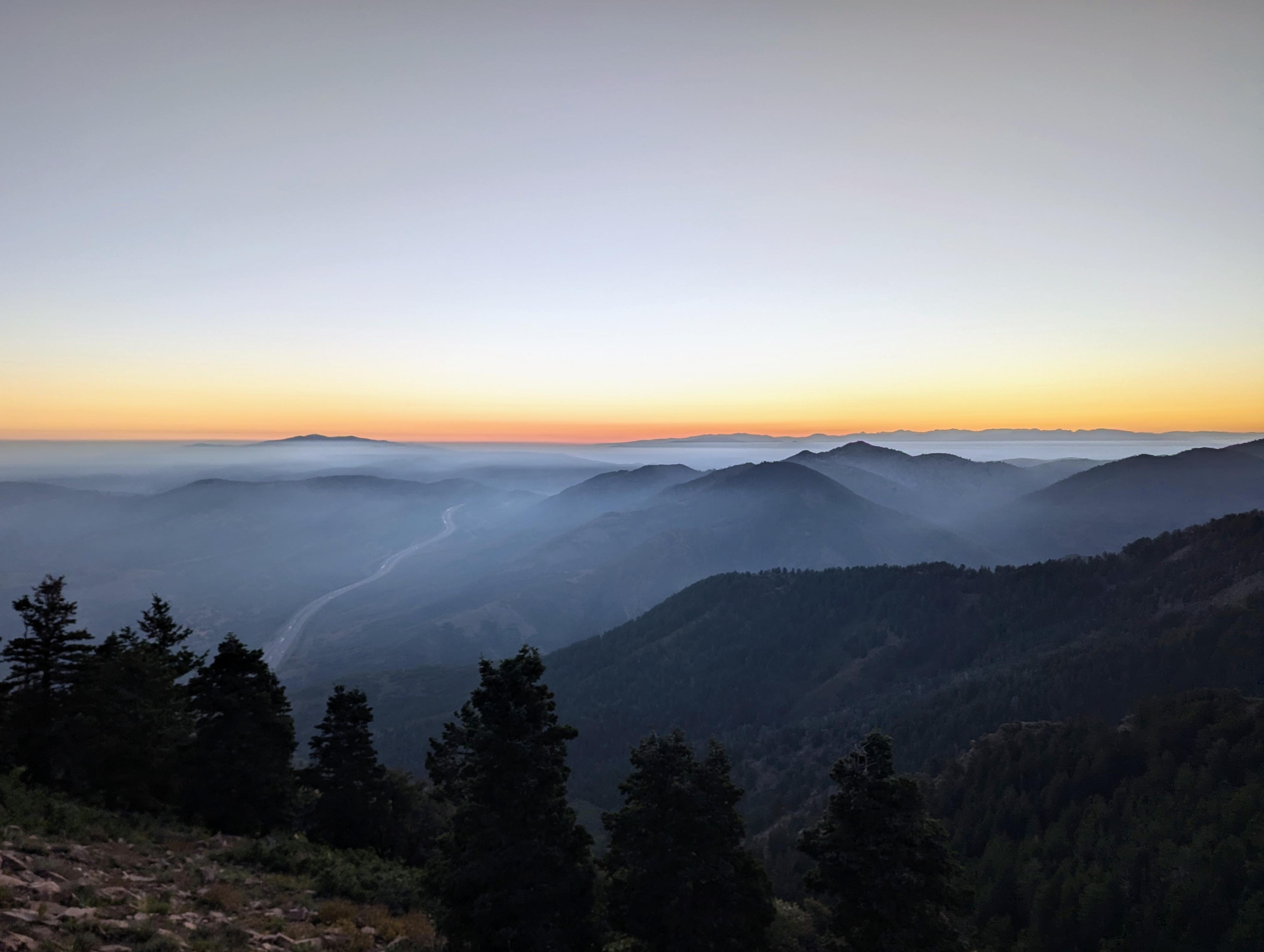
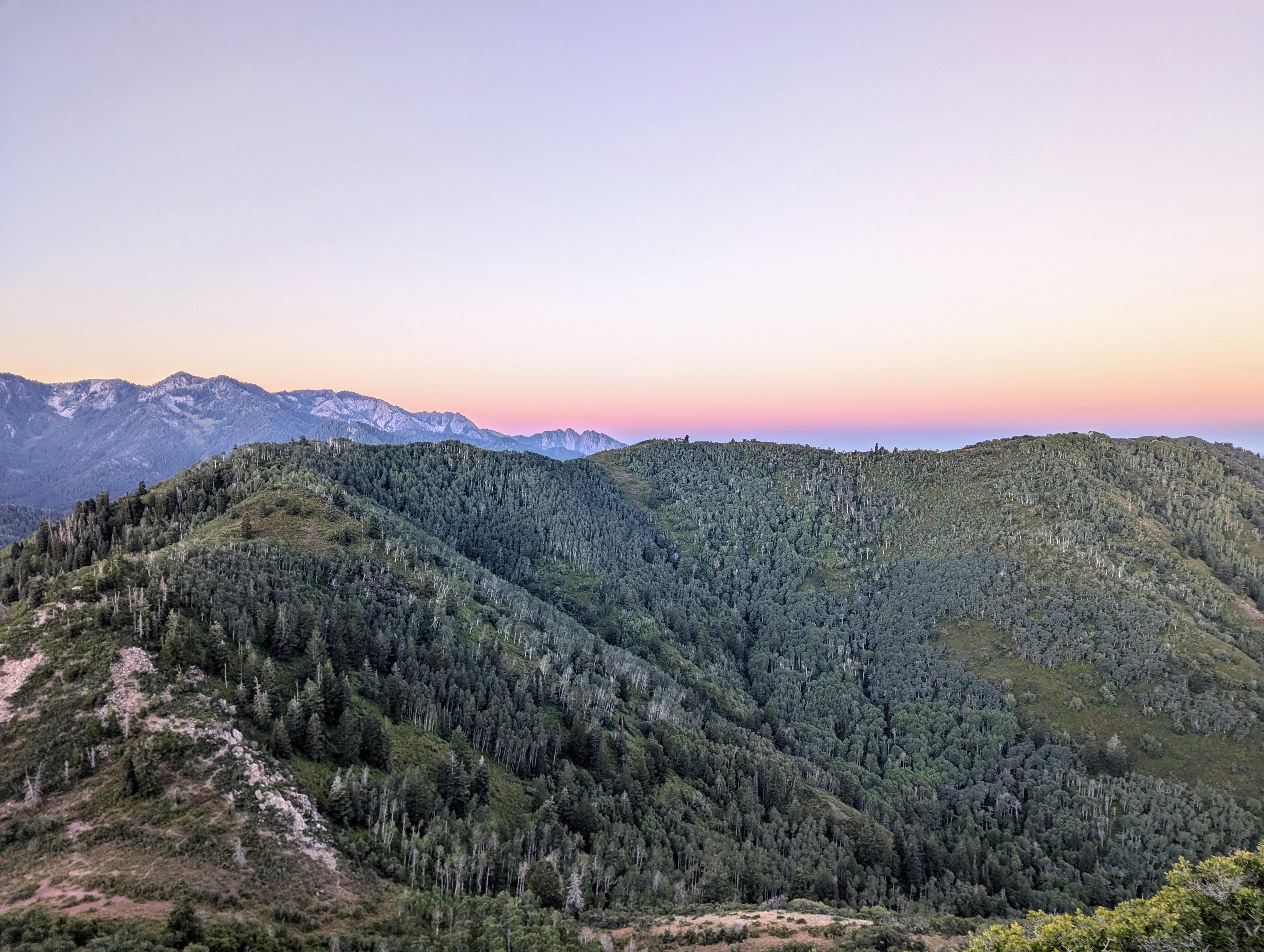
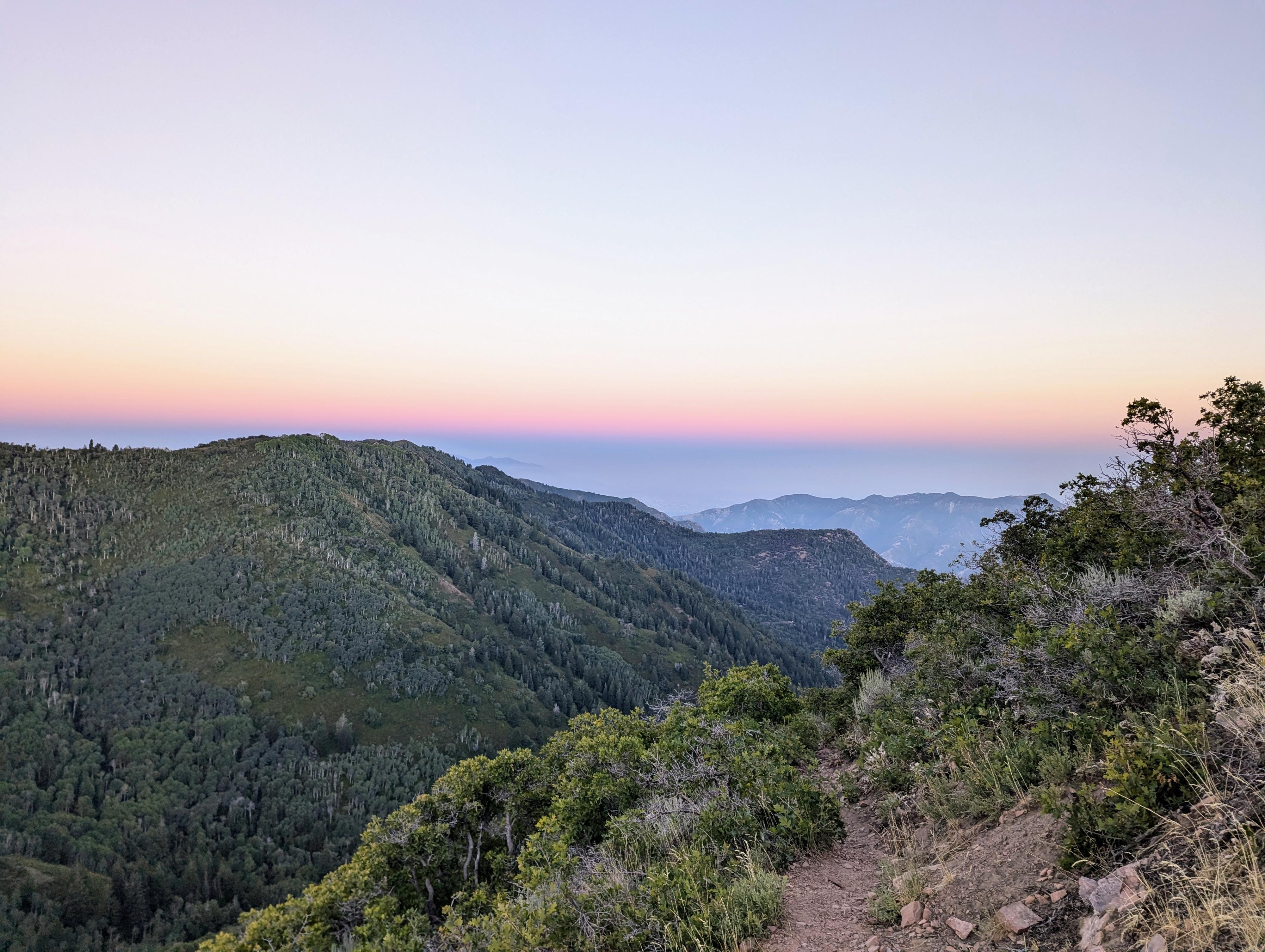
Photos
Maps

12T 441702E 4506442N
40°42'25"N 111°41'24"W
12T 441736E 4506752N
40°42'35"N 111°41'23"W
12T 441757E 4506807N
40°42'36"N 111°41'22"W
12T 441035E 4507483N
40°42'58"N 111°41'53"W
12T 441281E 4507902N
40°43'12"N 111°41'43"W