 Hiking
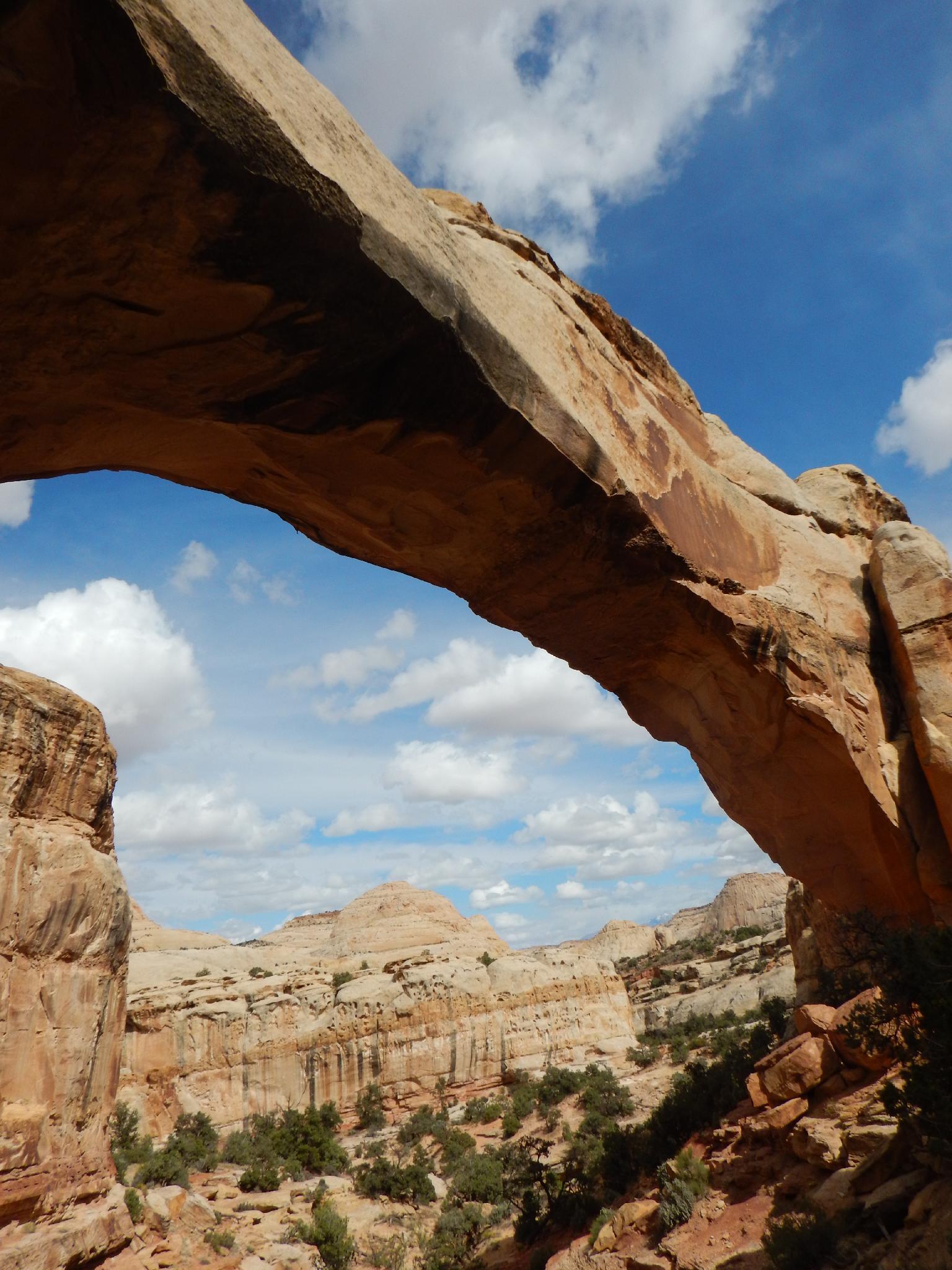
Hickman Bridge
Hiking
Hickman Bridge
Capitol Reef
Overview
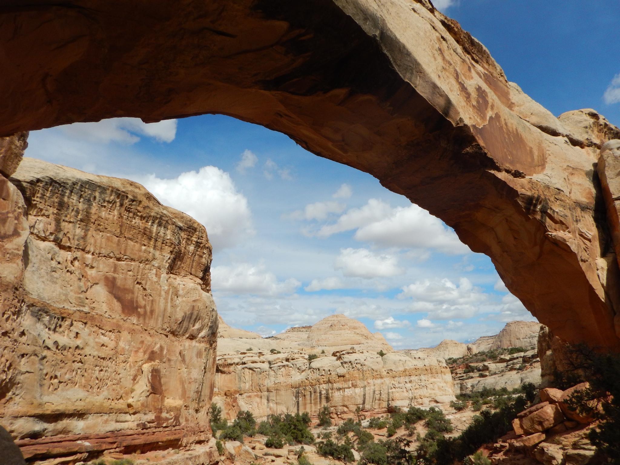
This is a short and very popular hike. On a busy spring or fall weekend, finding a parking spot at the trailhead can be difficult. The hike gains a bit of elevation, but is suitable for most. It meanders up above the Fremont River, then does a loop of Hickman Bridge, a natural bridge with a 133 foot span, before returning to the trailhead. Motivated hikers can make this a side trip to the Rim Overlook or Navajo Domes, while families or less motivated can visit the bridge and back in a short 1-2 hour outing.
Hickman Bridge is named after Joseph Hickman, one of the early advocates for protecting Capitol Reef. He and Ephraim P. Pectol were crucial in the early efforts to create Capitol Reef National Monument. Hickman became a legislator in 1924, and had Wayne Wonderland State Park created, which later became Capitol Reef National Monument, and now Capitol Reef National Park. Sadly, Hickman drowned shortly after the creation of the State Park, and did not live to see the Monument or National Park status conferred upon the lands he worked hard to protect.
An interpretative guide and trail markers make this a fun outing for kids to discover and learn about the area. Finding the markers can be a bit of a game of hide and seek. The guide is available at the trailhead for fifty cents.
Getting There
From the Visitor Center, travel east on Highway 24 about 2 miles to the signed Hickman Bridge trailhead on the north (left) side of the road (mile post 81.2). There is a pit toilet here. This is where the highway crosses the Fremont River.
Route Description
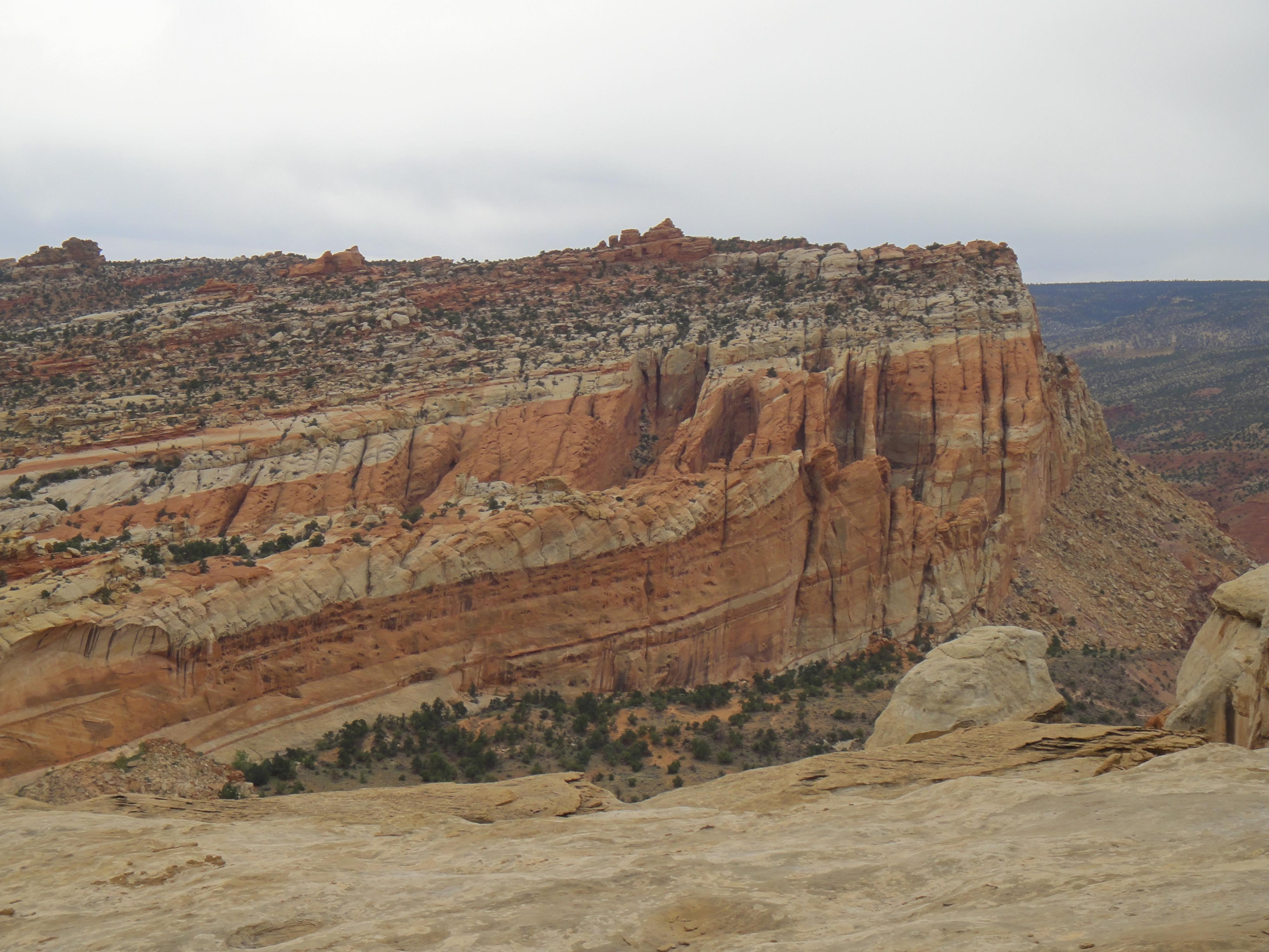
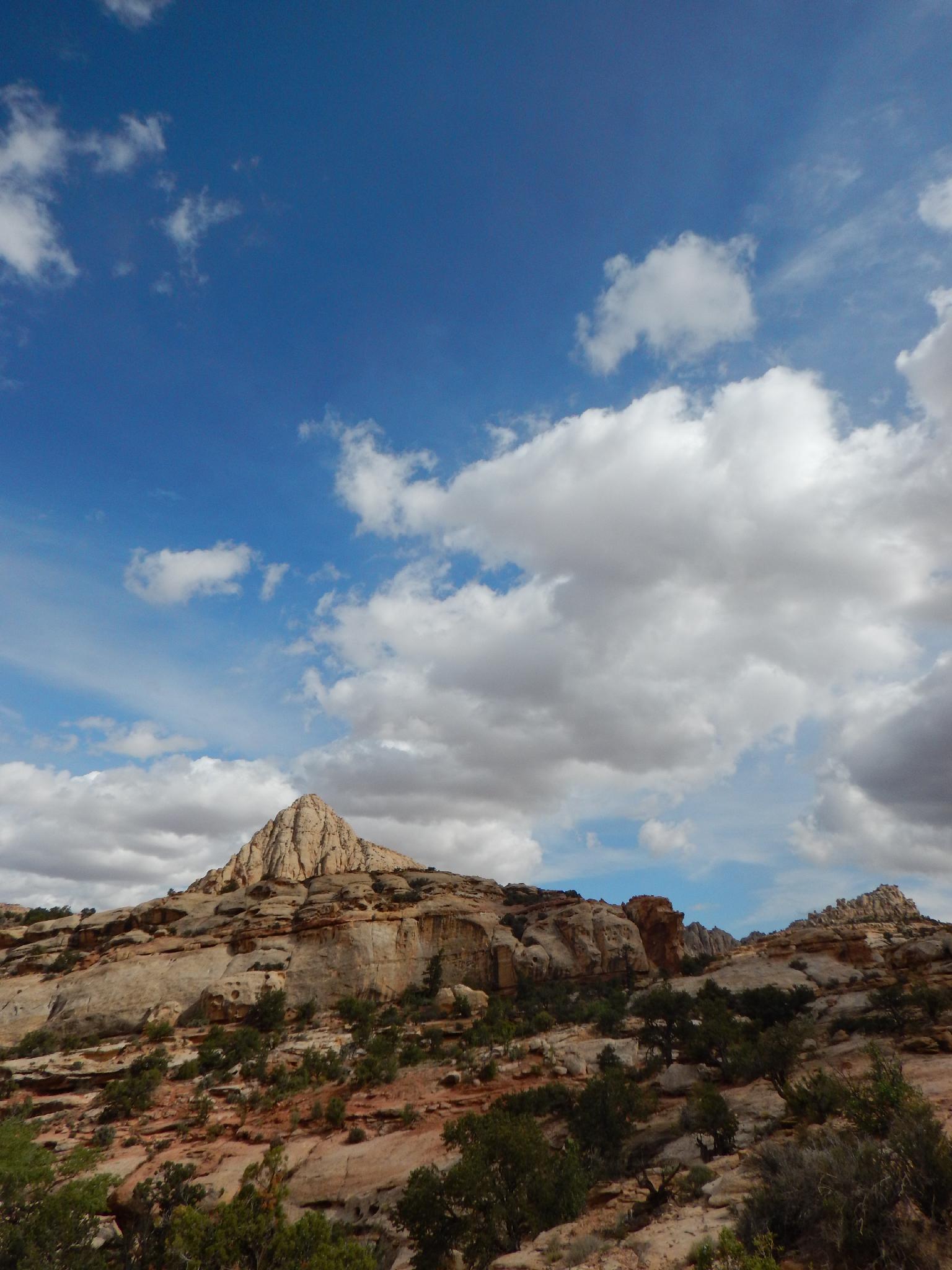
From the trailhead, follow the trail as it works up out of the Fremont River to a junction. Go left here (right goes to the Rim Overlook and Navajo Domes area). The trail follows a wash bottom, visiting two small natural bridges before dividing one final time. This last junction is a loop, and can be done in either direction, however I prefer going left here. The trail passes a photogenic overlook before turning north and visiting the bridge.
Continue on the trail to complete the loop and return to the trailhead.
Photos
Maps

12S 480102E 4237874N
38°17'19"N 111°13'39"W
12S 480196E 4237954N
38°17'22"N 111°13'35"W
12S 479631E 4238048N
38°17'25"N 111°13'58"W
12S 479488E 4238195N
38°17'30"N 111°14'04"W