 Hiking
Broads Fork
Hiking
Broads Fork
Big Cottonwood Canyon
Overview
Broads Fork is a hike I kept putting off doing. From the map, it appeared a steep 2.5-mile uphill hike to a meadow. How exciting could it be?!?! When Diane and I finally did the hike, I was surprised at the beauty of Upper Broads Fork.
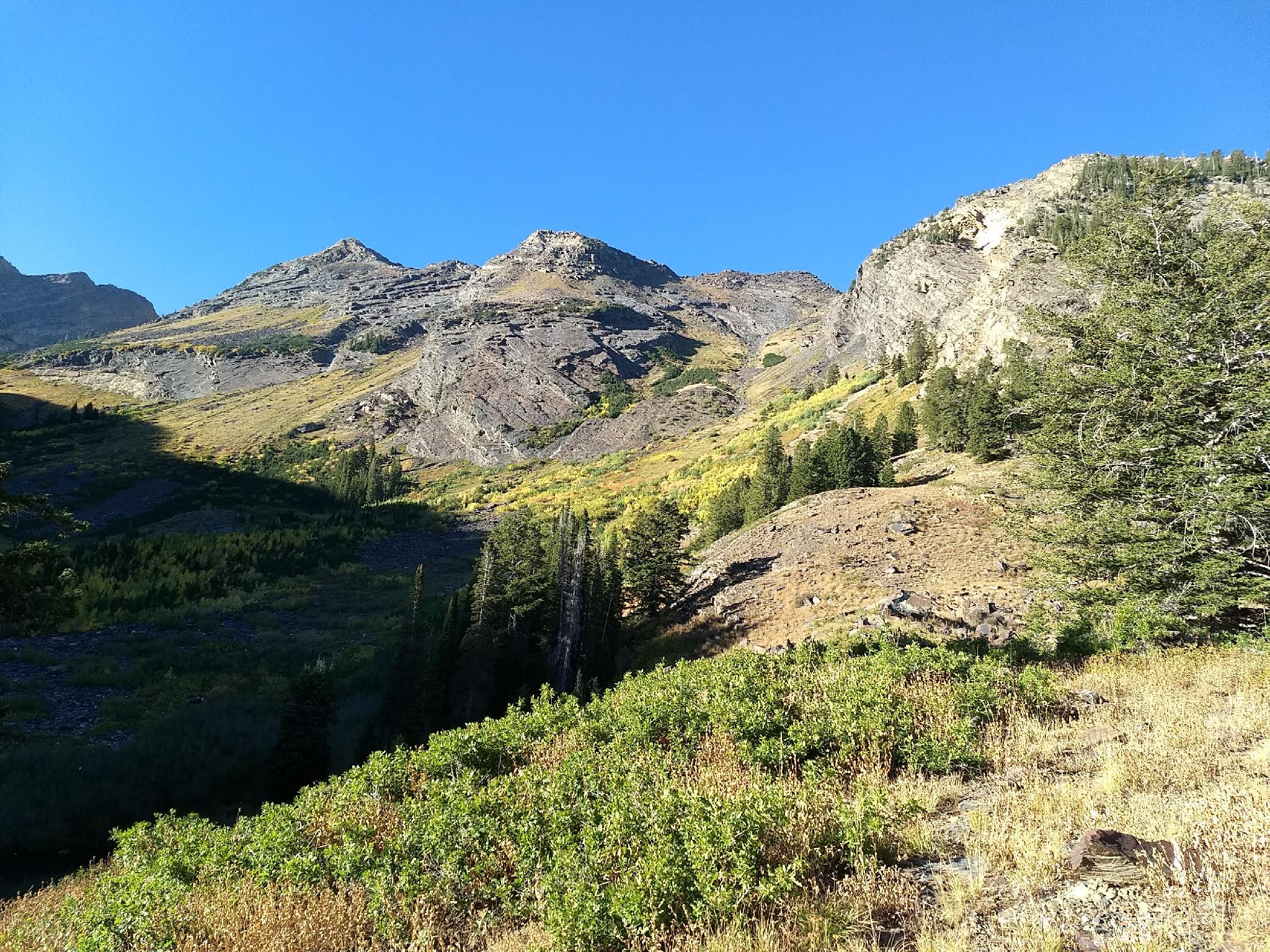
The hike is indeed steep, climbing from the canyon floor at about 6000' to near 8300' in a high mountain meadow. Disappointingly, much of the hike is moderately wooded, with only glimpses of the broader scenery. At about 2.5 miles, however, the terrain suddenly opens into an alpine meadow surrounded by jagged peaks and talus slopes. The scene is stunning and well worth the effort!
Given the incredible popularity of Lake Blanche, just once canyon to the east, it is surprising how few people make the hike up Broads Fork. It is indeed a trail that I think is much underrated and under appreciated.
Getting There
Big Cottonwood Canyon is on the east side of the Salt Lake City Valley. Get there by taking I-215 to the east, taking exit 6 off the interstate and heading east.
Follow 6200 South which becomes Wasatch Blvd for 1.8 miles to the stop light and signs for Big Cottonwood Canyon.
Turn left at the light and reset your odometer.
Drive up Big Cottonwood Canyon. At 4.7 miles, just at the start of the S-Curve, the trailhead is on the right side of the road. If the trailhead is full, another small parking area is just up the road on the right as well.
Route Description
From the trailhead, the Broads Fork trail begins on the south-west corner of the parking lot. A small wooden sign marks the start of the path. Be sure you are on the correct path. The far more popular Lake Blanche trail starts on the east side of the parking lot.
The trail quickly begins climbing west, making a sweeping switchback after 10 or so minutes. A small side trail here offers an excellent view down into the canyon. Continue rising upward! The trail reaches, then parallels a stream to a wood bridge. The bridge is a nice cool and refreshing place on a hot day, and more or less the halfway point to the meadow. (1.2 miles to here)
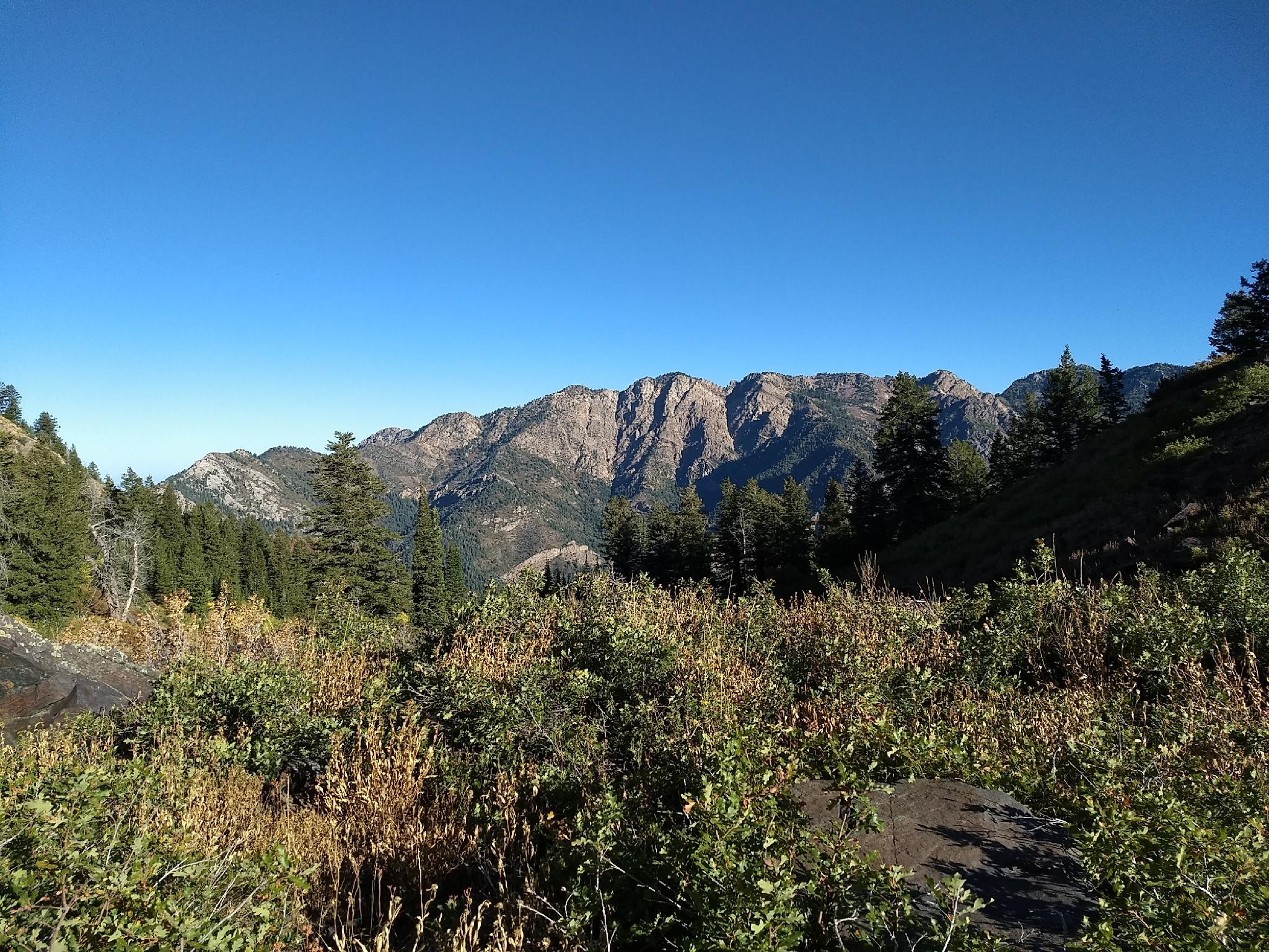
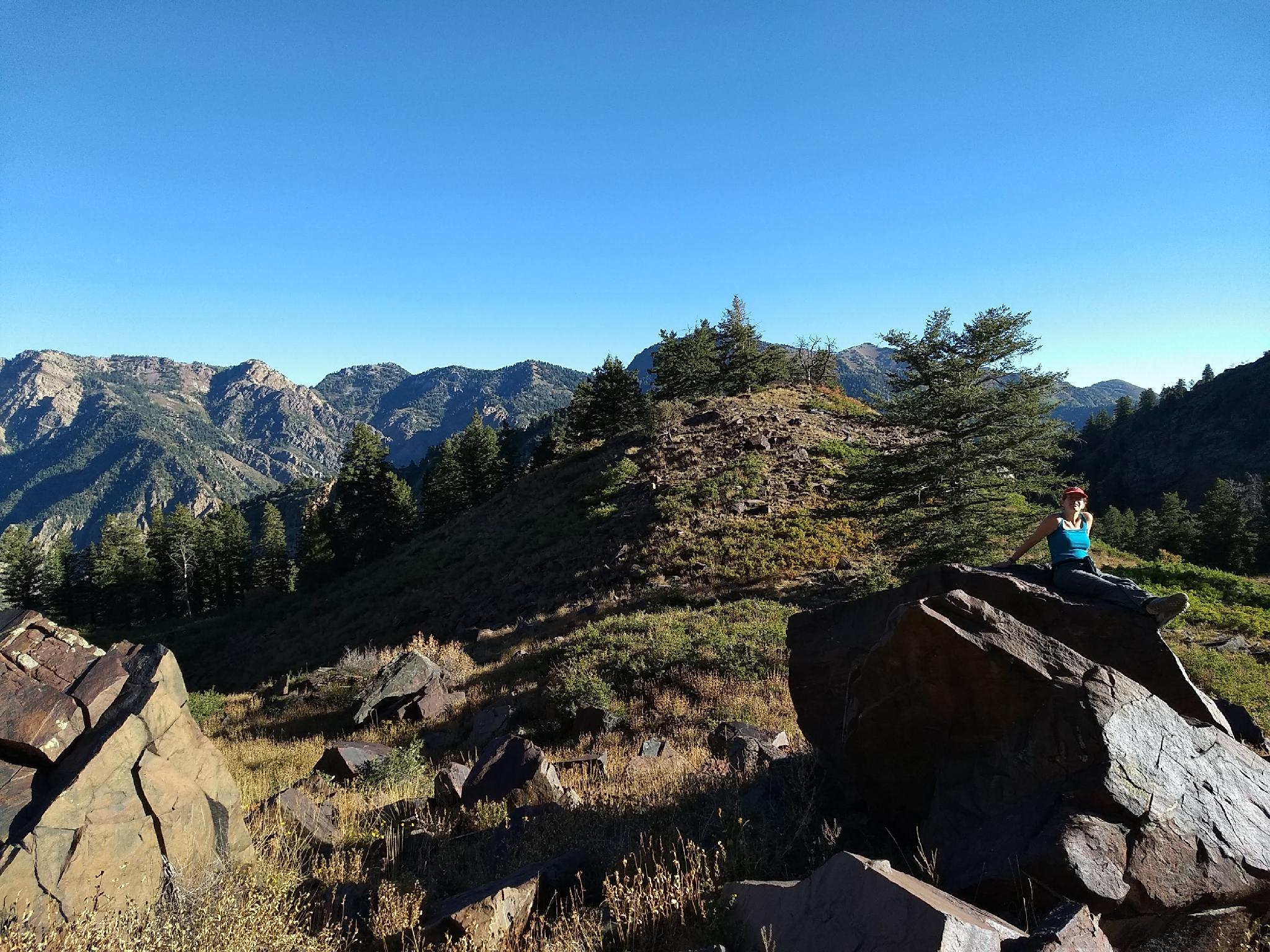
The trail continues climbing from the bridge, though a little less steeply at times. The wooded terrain gives way in a few places for views of the cliffs that line both sides of Broads Fork. A campsite appears on the right side of the trail, followed quickly by a junction. Either fork works, as the path now braids into numerous smaller trails and enters the broad open upper Broads Fork valley. This is the destination and a great place to have lunch.
Return the same way, though motivated and advanced hikers use Broads Fork as a starting point to the higher peaks that surround the valley or route find over the ridge to Lake Blanche. There are several good campsites in the area, making this is an excellent short backpacking destination as well.
Maps

12T 438801E 4498289N
40°37'59"N 111°43'25"W
12T 438393E 4498250N
40°37'58"N 111°43'43"W
12T 438533E 4498219N
40°37'57"N 111°43'37"W
12T 438474E 4497252N
40°37'26"N 111°43'39"W
12T 439250E 4496073N
40°36'48"N 111°43'05"W