 Hiking
Little Wild Horse Canyon / Bell Canyon
Hiking
Little Wild Horse Canyon / Bell Canyon
San Rafael Swell
Overview
If you only do one hike in the San Rafael Swell, Little Wild Horse should be the one. It is often hard to choose a favorite hike in an area, but for the San Rafael Swell, I would have to say Bell and Little Wild Horse is it. It is hands down the most popular hike in the area. As such, don't come here if you are looking for the lonely scenery and solitude much of the southern Utah desert provides, you are likely to see other people here, many other people. Depending on the time of year, this hike can be crowded, as the large parking areas at the trailhead can testify to.
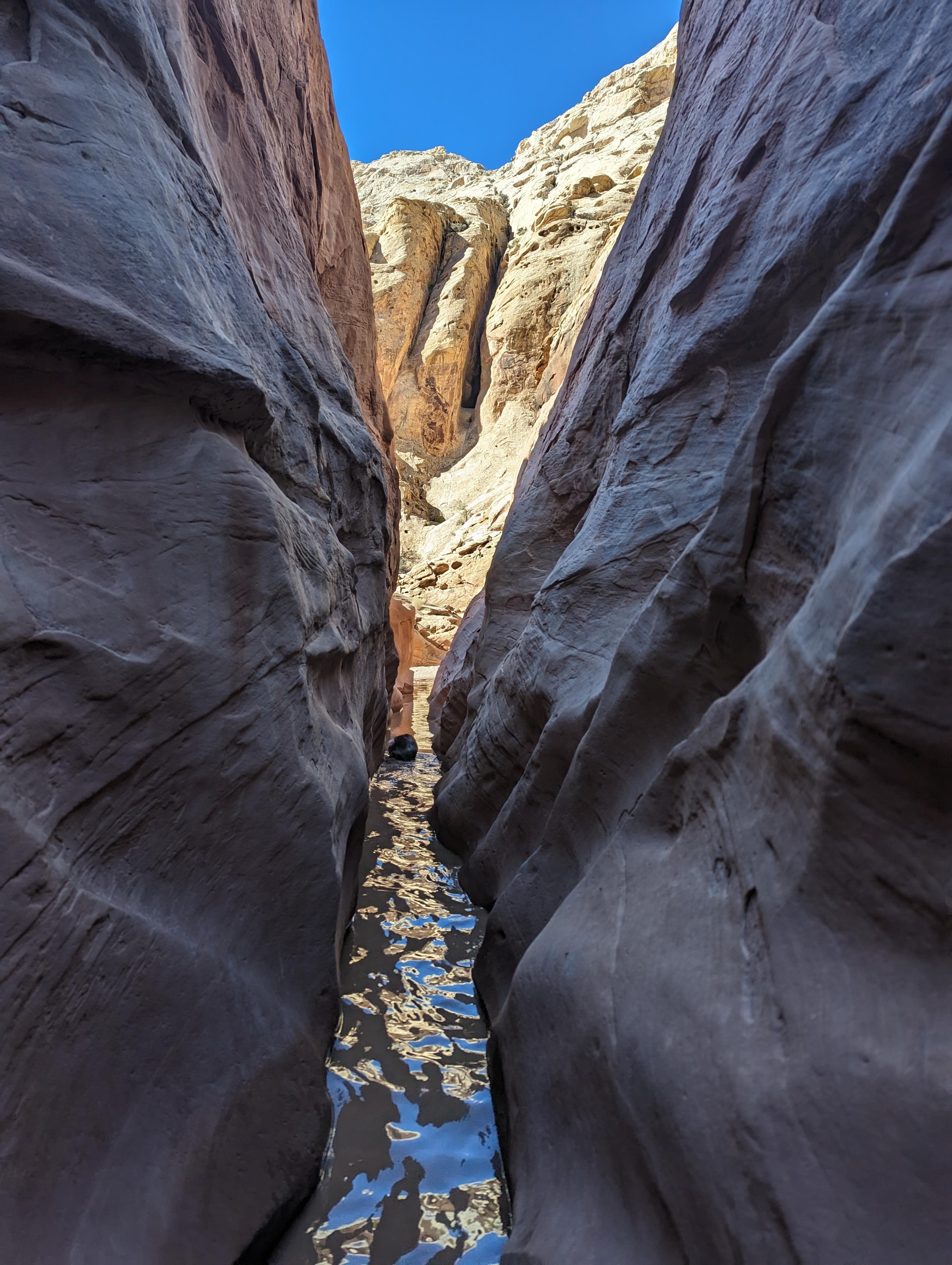
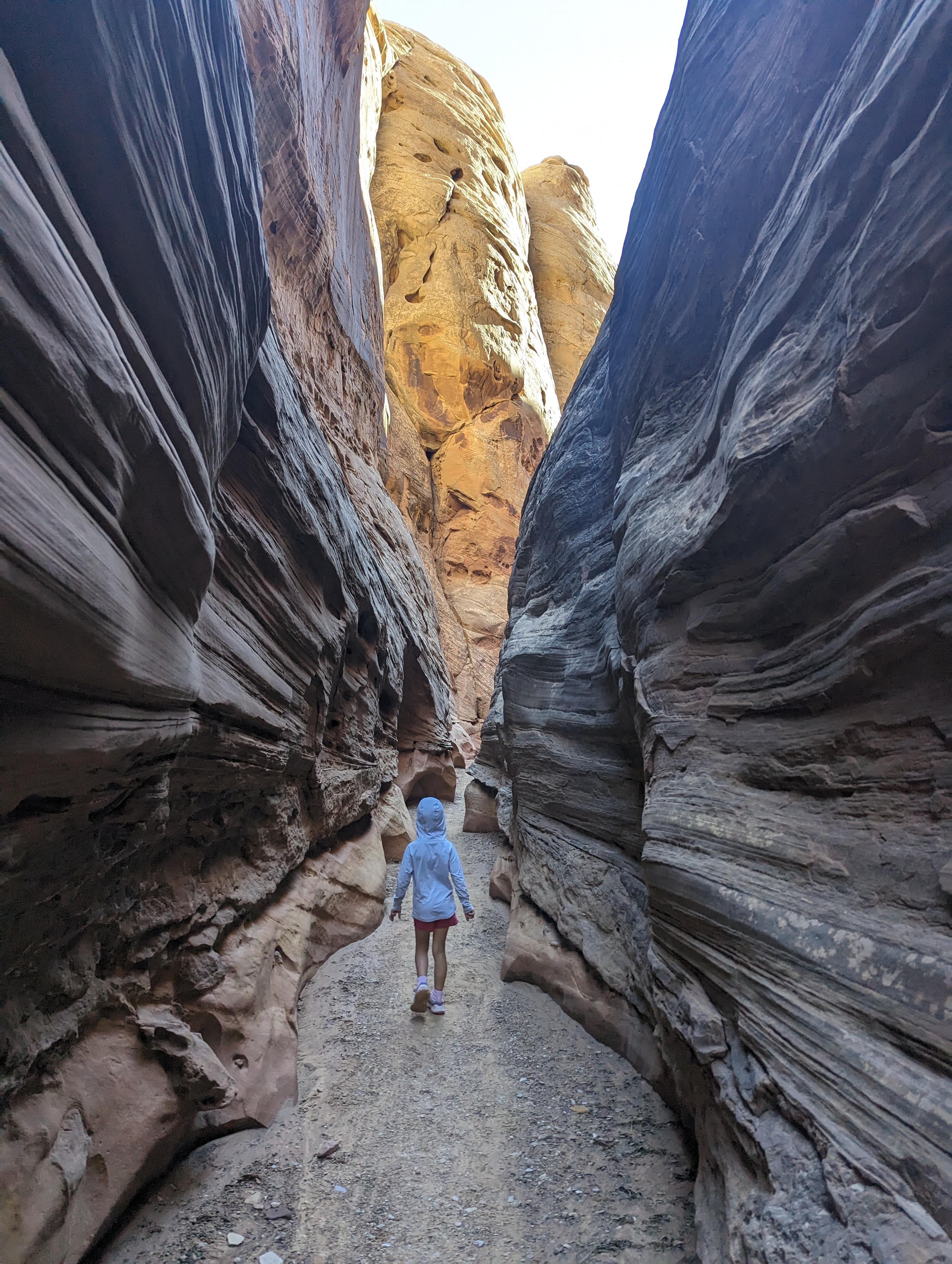
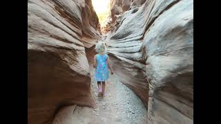
This loop hike includes a narrow winding slot, great views of the back of the reef, and another great canyon on the return. Tough to beat. Hot in the summer, this is a great fall, winter, or spring hike, and family friendly. It can have a bit of water just after recent rains, but not much over ankle or knee.
Getting There
Reach the trailhead by going west from Green River Utah on I-70 to the junction with highway 24 that goes to Hanksville. Go toward Hanksville for about 25 miles to Mile Post 135.
Route Description
Approach to Little Wild Horse (15-20 minutes)
From the trailhead, follow the well-defined trail up the wash. About 15 or so minutes from the car, the wash narrows and turns to slickrock. This short slickrock section has one small up climb that may prove difficult for some. If so, backtrack to the start of the slickrock slot, and follow a trail on the left (looking up canyon) that bypasses the obstacle.
Up Little Wild Horse (1.5-2 hours)
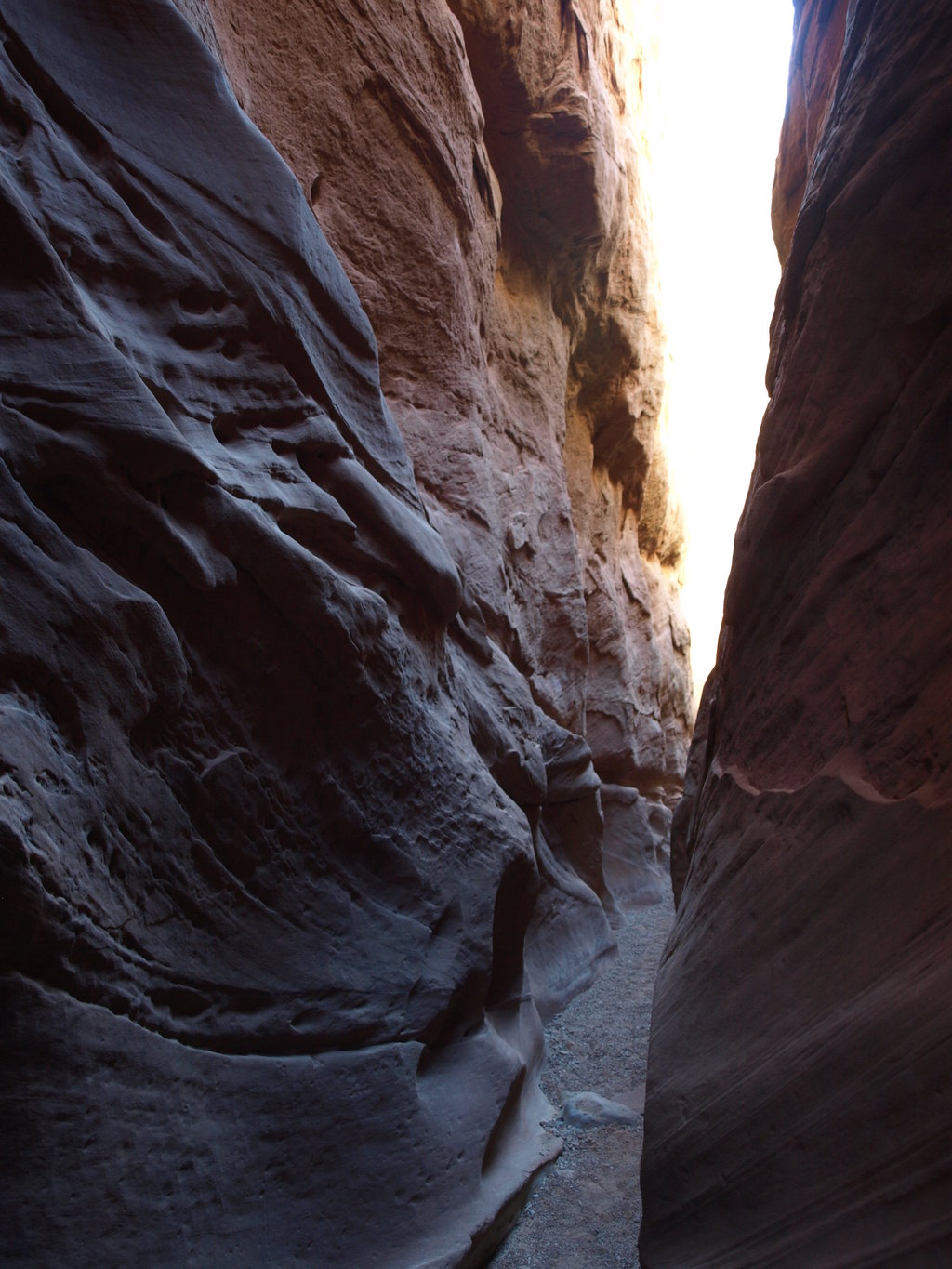
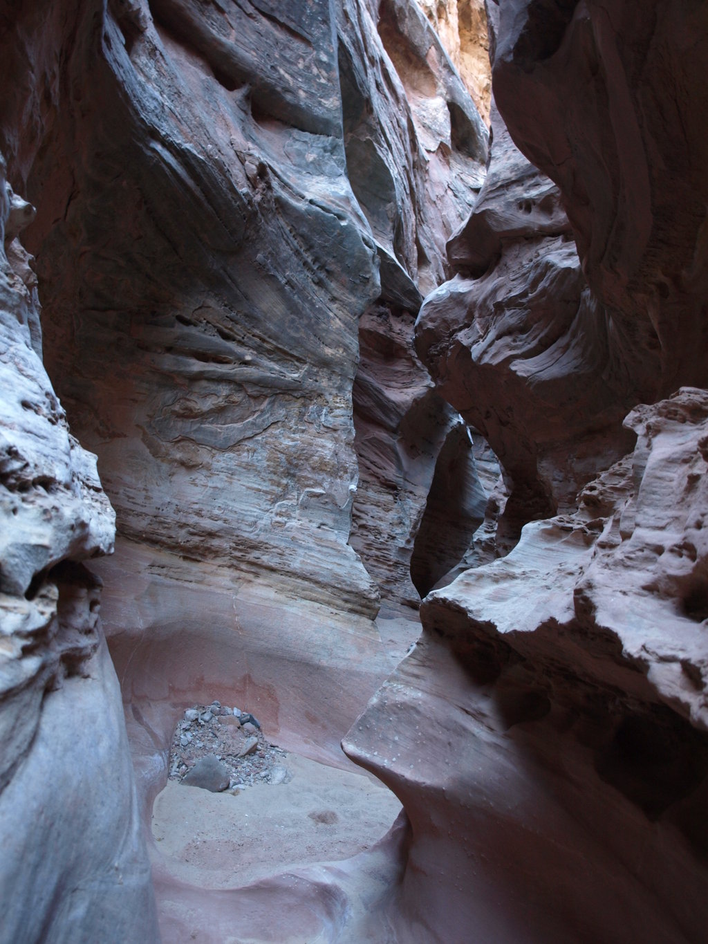
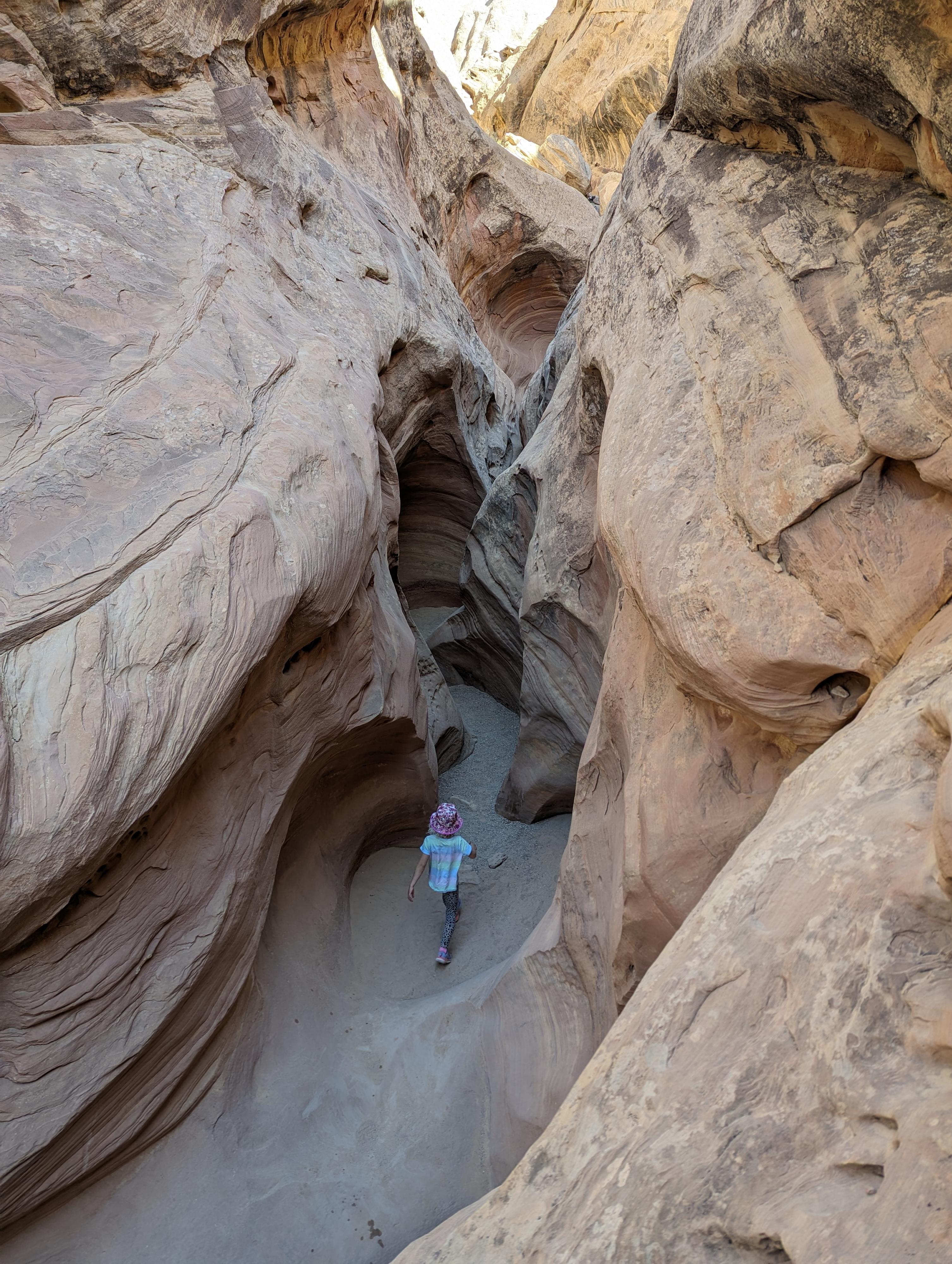
Shortly after this first slickrock section (less than 5 minutes), be on the lookout for Little Wild Horse coming in on the right. Many have missed this junction in the past, but as of winter 2009, the junction is signed. Go right, up Little Wild Horse. The canyon is sublime. As it cuts and winds its way through the reef, it gets very narrow and deep. Beautiful. It takes 1.5-2 hours to hike this section of the canyon, depending on how often you stop for photographs. Once the canyon opens and begins exiting the reef completely, watch for the trail to leave the canyon on the left (looking up canyon). This is also currently signed as Bell Canyon with an arrow.
Back to the Trailhead via Bell (2-2.5 hours)
The trail follows the back of the reef before reaching an old mining road (The Behind the Reef Road). The large buttress in the distance to the right, forming the point, is Chute Buttress. Follow the old mining road left (west), as it goes up a small incline, then descends to the bottom of Bell Canyon. This is currently well signed.
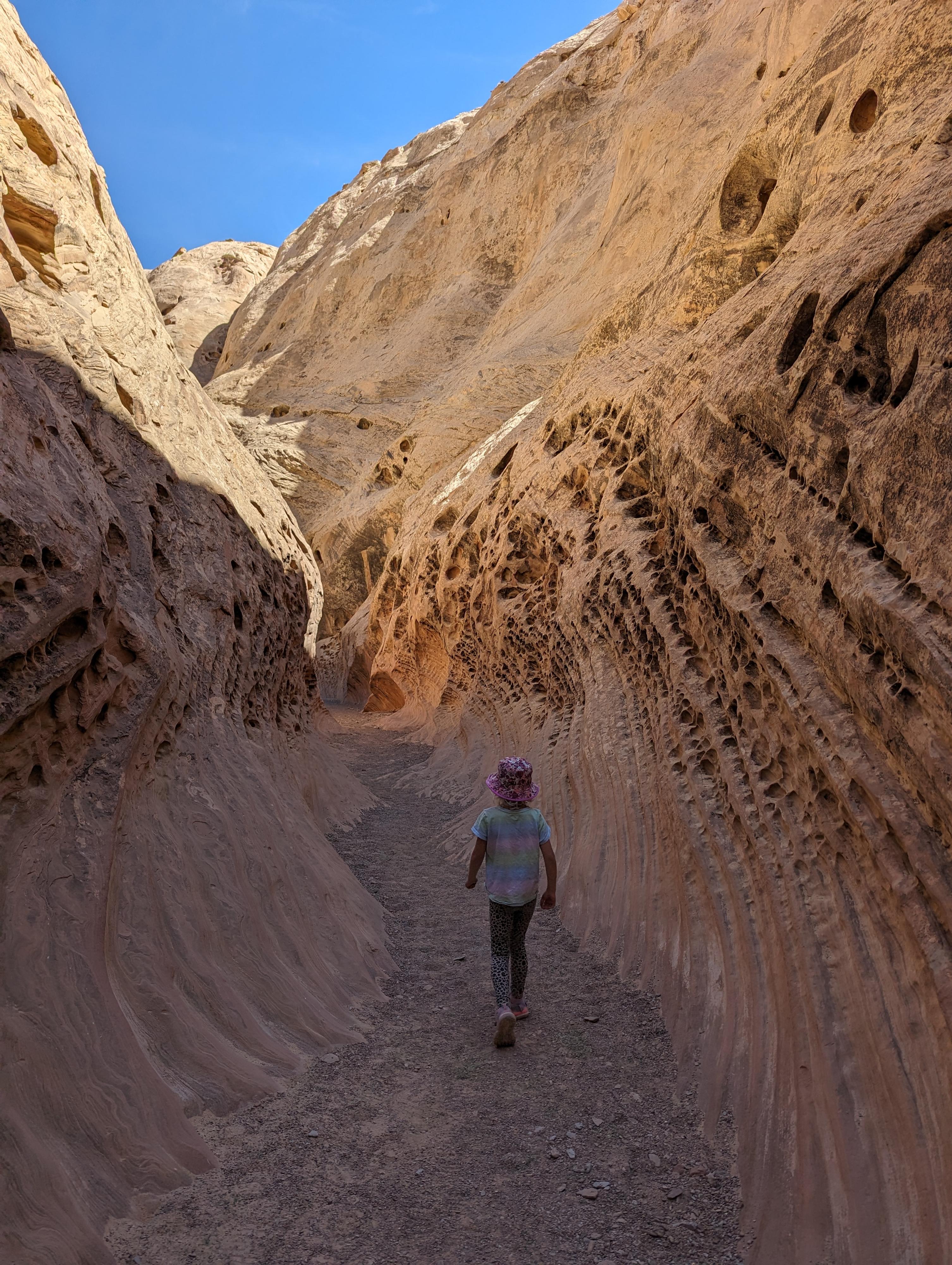
Go down Bell Canyon. The canyon is a much different character than Little Wild Horse, more open and wide, with a few sections of shallow narrows. There are no major obstacles in Bell, but a few boulders to find ways over and around. Follow the path of least resistance. This will lead you back to the junction with Little Wild Horse, and back to the trailhead.
Photos
Videos

Little Wild Horse Canyon & Bell Canyon
Hiking Little Wild Horse Canyon
Maps

12S 517180E 4270493N
38°34'58"N 110°48'10"W
12S 516926E 4271151N
38°35'19"N 110°48'20"W
12S 516805E 4271249N
38°35'22"N 110°48'25"W
12S 515834E 4272750N
38°36'11"N 110°49'05"W
12S 517841E 4273705N
38°36'42"N 110°47'42"W
12S 515505E 4273234N
38°36'27"N 110°49'19"W