 Hiking
Malan's Peak
Hiking
Malan's Peak
Ogden
Overview
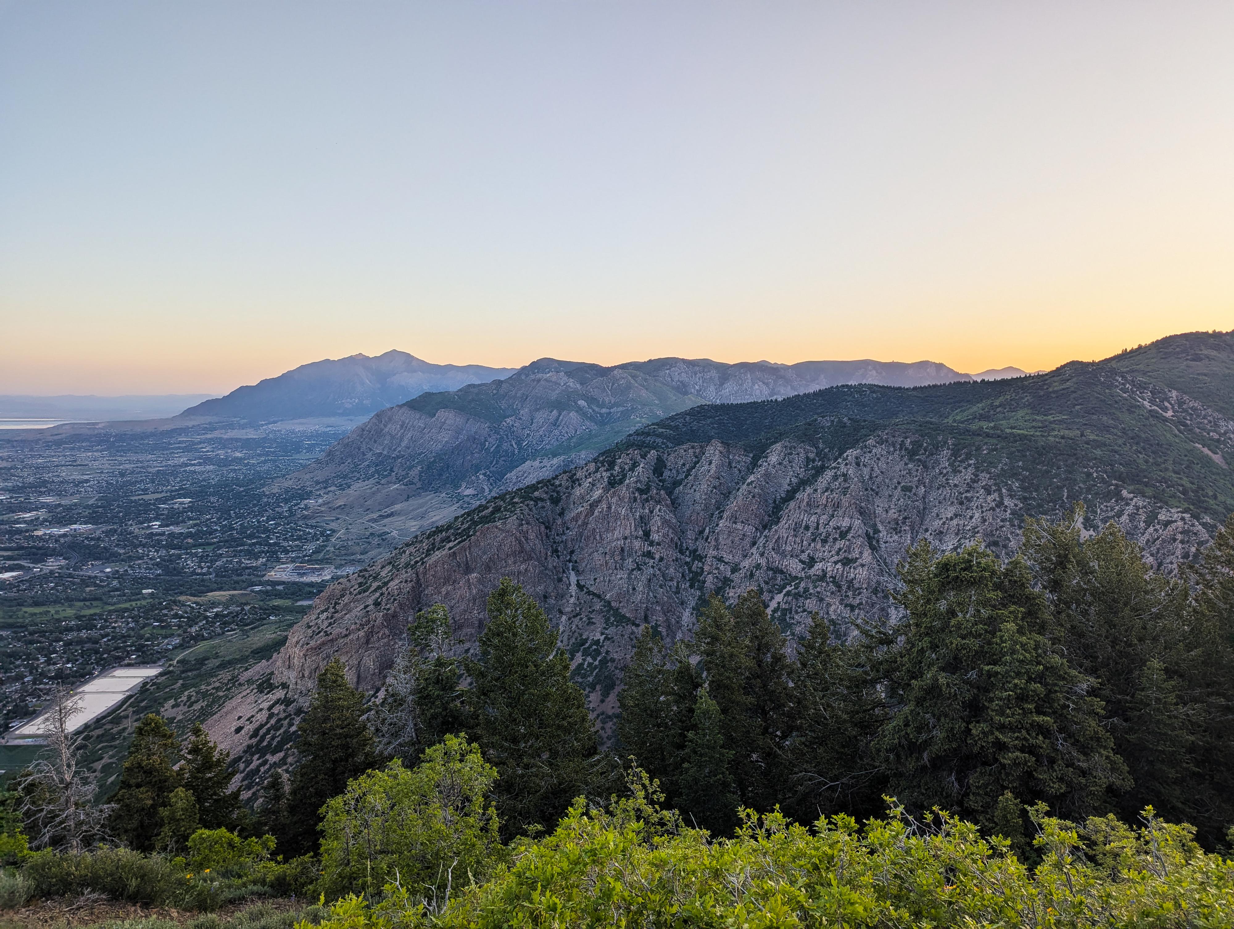
Malans Peak, rising about 2,100' above the Ogden Foothills, is a beautiful hike, particularly in spring when wild flowers are blooming or in the fall when fall colors have taken over the scrub oak. This hike reminded me a lot of Grandeur Peak near Salt Lake. It is about 2.5 miles to the top and 2,100' feet of gain, making it a steep hike! The length and steepness make it popular with morning hikers and trail runners getting some exercise in before work, which was my approach to the hike as well! The trail is mostly shaded, making it suitable for summer hikes. I wouldn't hike it on the hottest day of the year, but an early stay on a warm day is very reasonable.
Bartholomew “Tim” Malan, an Italian immigrant who settled in Ogden as a child, purchased about 800 acres in 1891 and began building a road up Taylor Canyon. By 1894, he had completed the Malan Heights Resort at the top of the canyon, in a scenic basin now known as Malan’s Basin. The resort quickly gained popularity for its panoramic views of the valley and surrounding Wasatch Mountains. Malan even provided transportation up the mountain for a small fee, making it accessible to more visitors.
Tourists frequently praised the stunning mountain scenery, with some comparing the experience to world-renowned destinations. The hotel offered a unique mix of natural beauty and mountain retreat amenities, attracting many vacationers during its brief operation.
However, the resort faced repeated issues with vandalism and damage to the road and property. Malan attempted to address the destruction by imposing a small toll, but the situation didn’t improve. The hotel ultimately shut down in 1904 and was destroyed in a forest fire in 1910.
Getting There
The trailhead is the 27th Street Trailhead. Follow 27th Street in Ogden east until it ends at the trailhead. In the spring of 2025, the trailhead was being relocated a bit to be a parking lot instead of just on-street parking. On busy weekends, street parking gets quite busy. Hopefully, the new trailhead parking will alleviate some parking issues.
Route Description
As of 2025, the 27th Street Trailhead is being relocated and enlarged. From the trailhead, Taylor Canyon is the canyon due east from the trailhead, and Malans Peak is the peak to the right (south) of Taylor Canyon in the foreground. It is not the more distant Ogden Peak at the head of Taylor Canyon.
Initially, the area is a bit of a maze of trails. Head east on whatever most-used trail strikes your fancy for a few minutes until you reach the Bonneville Shoreline Trail. Once on the Bonneville Shoreline Trail, go left (north) to a junction on the north side of Taylor Creek.
Go right and head up the Taylor Canyon trail that follows the creek up the canyon. The trail quickly becomes more shaded, with the creek generally having at least a small flow. A junction signed North Taylor Canyon/South Taylor Canyon is reached about 0.45 miles (10-15 minutes) from the trailhead, where the South Taylor Canyon trail crosses a bridge. Stay straight, continuing up Taylor Canyon.
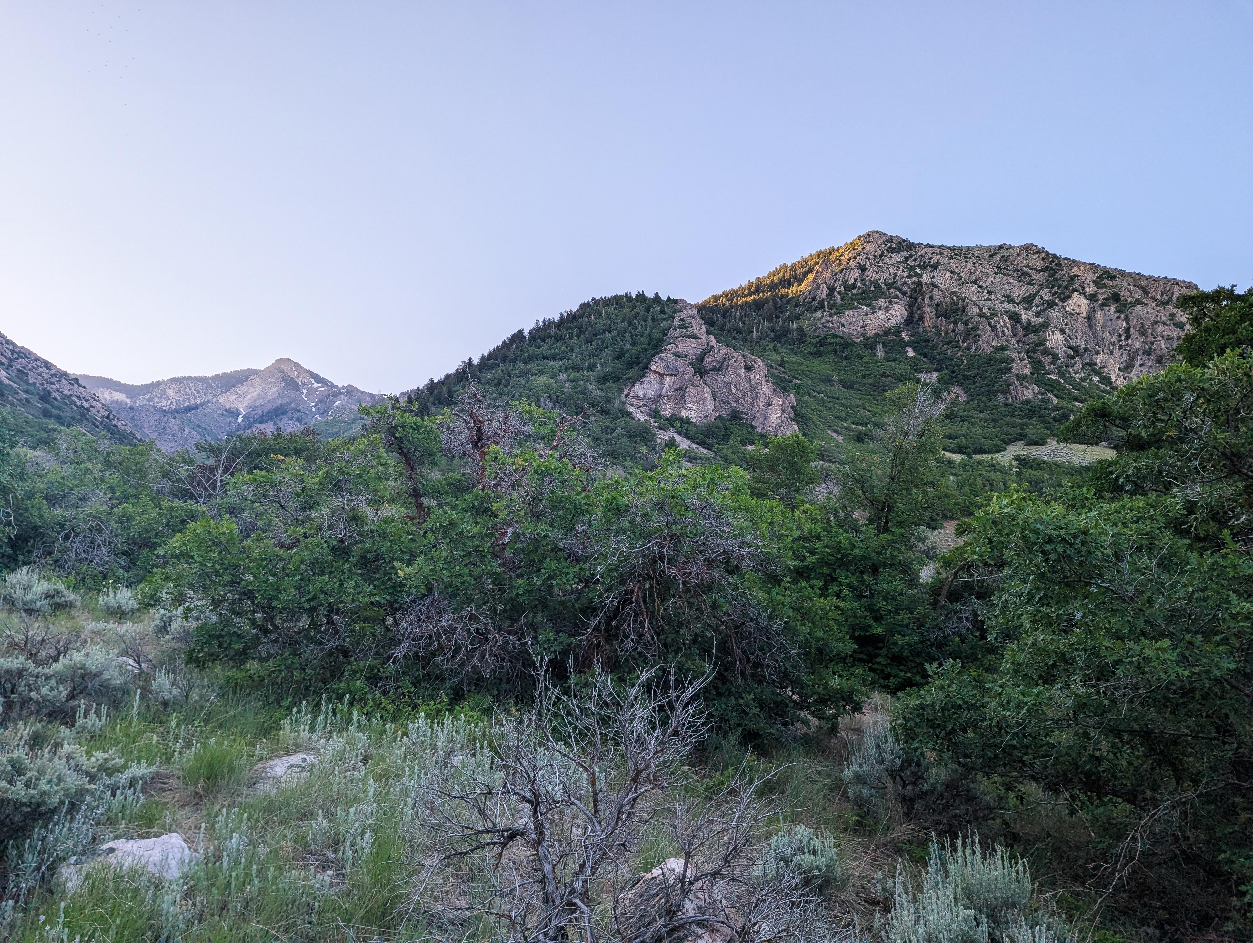
About 0.9 miles from the trailhead, a major junction is reached at a footbridge. Left is signed Taylor Canyon, right is signed Malan's Basin. Go right. The trail now leaves the creek bed and begins a very steep climb up to Malan's Peak. It is about 1.5 miles from the junction at the creek up to Malan's Peak, with a few switchbacks along the way. Thought steep, there are some amazing views along the way.
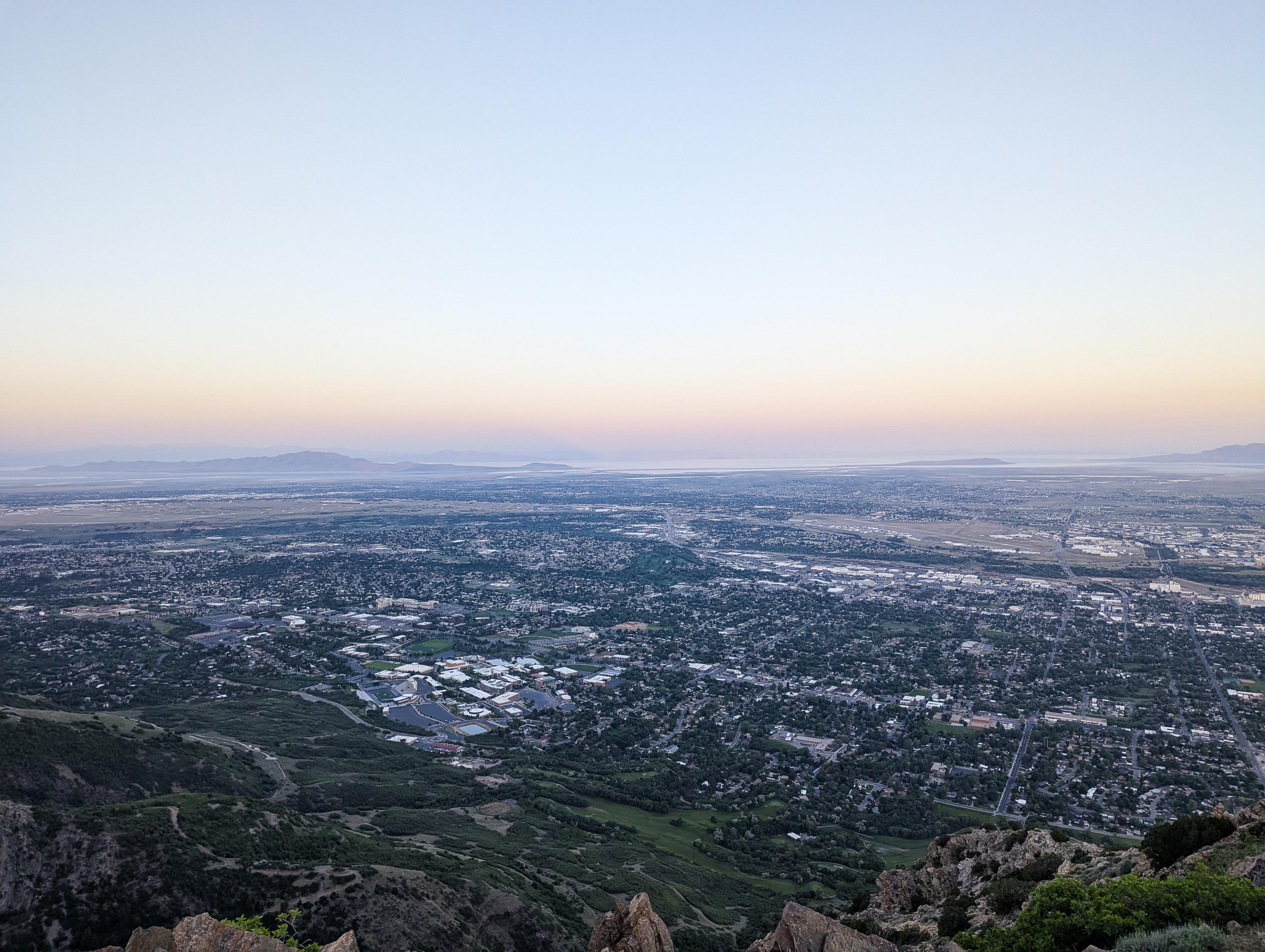
The "peak" is a flat spot on the ridge with wide views of the Ogden Valley and Antelope Island in the distance to the south. The trail continues on in Malan's Basin from here.
Return the same way.
Photos
Maps

12T 422129E 4563143N
41°12'57"N 111°55'44"W
12T 422433E 4563143N
41°12'57"N 111°55'31"W
12T 422682E 4563027N
41°12'54"N 111°55'20"W
12T 423289E 4562780N
41°12'46"N 111°54'54"W
12T 422976E 4562146N
41°12'25"N 111°55'07"W