 Hiking
Rim Overlook and Navajo Knobs
Hiking
Rim Overlook and Navajo Knobs
Capitol Reef
Overview
Rising dramatically from the slickrock expanse of Capitol Reef National Park, the Navajo Knobs are among the park’s most striking landmarks. Perched high atop the massive Navajo Sandstone formation, this hike offers a commanding 360-degree view over the Waterpocket Fold, Fruita orchards, and the vast desert beyond.
Rim Overlook and Navajo Knobs is a great hike to get out and stretch your legs on easy terrain. The hike can be done to the Rim Overlook (4.5 miles round trip) or stretched out to the Navajo Knobs (around 9 miles round trip). The trail meanders up at a gradual but consistent pace, gaining about 1600' of elevation. It feels relentless on the way up but is still one of my favorite hikes in the park. I recommend this hike as a nice fall hike, overlooking the colorful leaves in Fruita. On my last trip, I started at first light, just when it was light enough to see the trail without a headlamp. Hiking up as the light starts illuminating the park was magic! As a bonus, you are likely to have the trail mostly to yourself.
Getting There
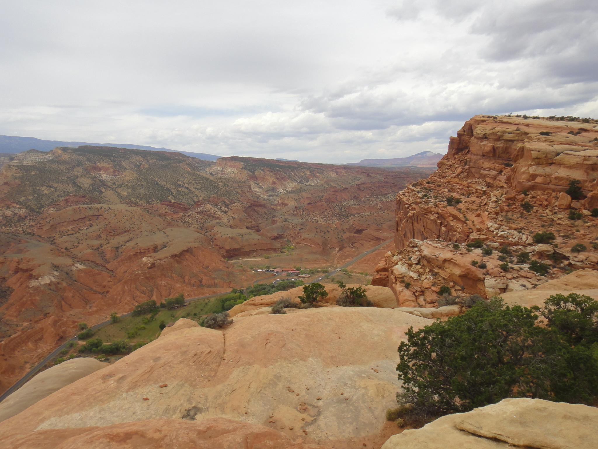
From the Visitor Center, travel east on Highway 24 about 2 miles to the signed Hickman Bridge trailhead on the north (left) side of the road (mile post 81.2). There is a pit toilet here.
Route Description
From the trailhead, follow the Hickman Bridge Trail. After just a few minutes (0.3 miles) it splits. Left goes to Hickman Bridge; go right instead. After a few more minutes, there is a great viewpoint for Hickman Bridge. The trail should be easy to find and is well cairned, but be mindful of cryptobiotic soil.
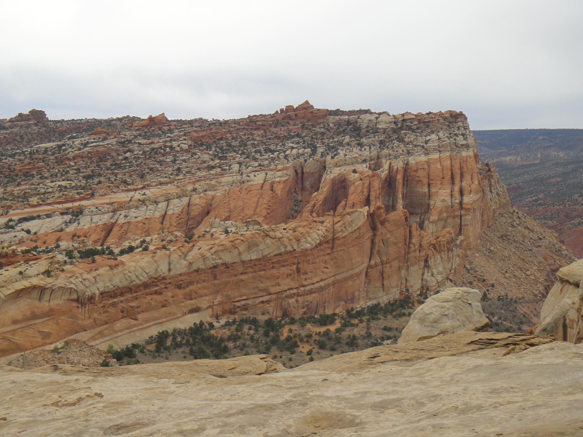
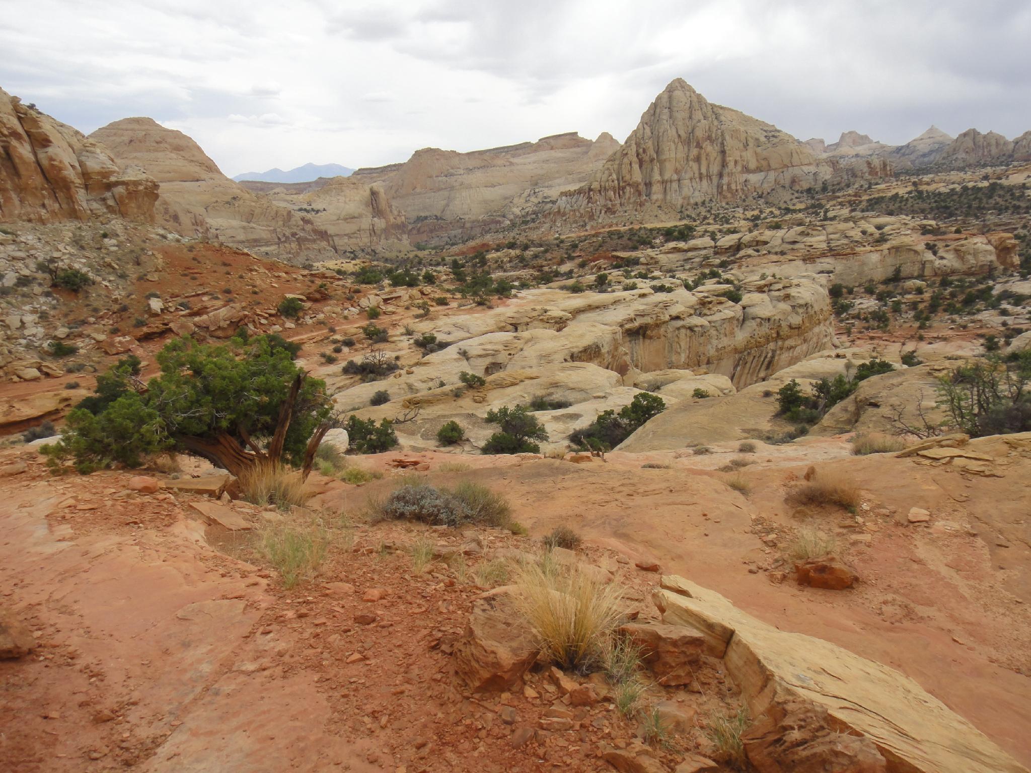
After 1-1.5 hours, the Rim Overlook is reached. The view down into Fruita and the more distant views of the Waterpocket Fold and the Boulder Mountains to the south are excellent.
From the Rim Overlook, the trail continues contouring around and up toward the Navajo Knobs viewpoint. It meanders around, with amazing views of the cliffs immediately to the north and The Castle to the south near the visitors center. The trail ends at the overlook. Plan on about 2.5-3 hours from the trailhead to the overlook.
Photos
Maps

12S 480092E 4237845N
38°17'18"N 111°13'40"W
12S 480201E 4237954N
38°17'22"N 111°13'35"W
12S 478186E 4238157N
38°17'28"N 111°14'58"W
12S 476396E 4239780N
38°18'21"N 111°16'12"W