 Hiking
Mill A North
Hiking
Mill A North
Big Cottonwood Canyon
Overview
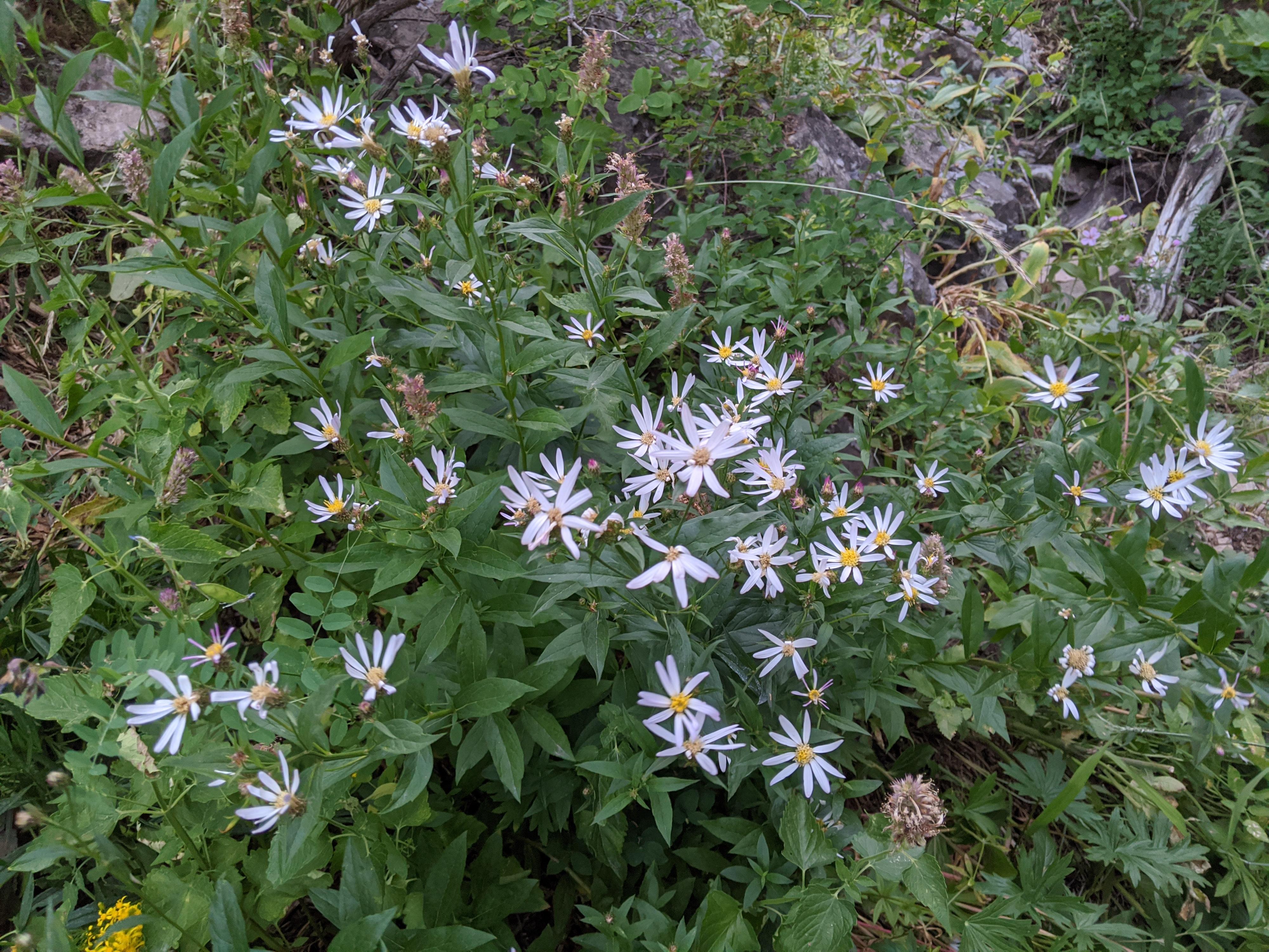
Mill A is not an official Forest Service trail, and the path up Mill A is much less travelled than most other hikes in the canyon. The lower part of the canyon was mined and is still occasionally panned by hopeful prospectors. Once above the lower section, the canyon becomes enclosed and a bit overgrown. This is a hike I recommend for those looking for wildflowers or fall colors. Being an out and back, it is well suited for a short stroll. The farther you go, the more overgrown and difficult the going becomes.
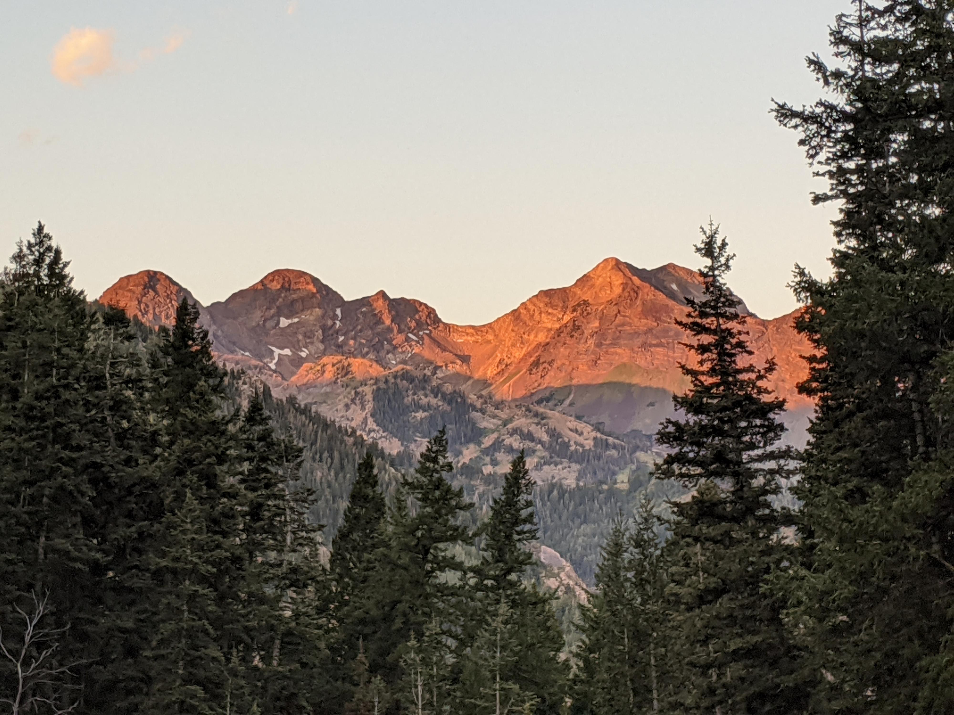
I was feeling a bit disappointed in this hike, until I turned around. The views across Big Cottonwood are excellent on this hike, especially once you get about 7800’ or higher in elevation. The rugged ridge separating Big and Little Cottonwood Canyons with Twin, Dromedary and Sunrise peaks is well framed from Mill A. Be sure to look back occasionally or take in all the views on the return!
Getting There
Big Cottonwood Canyon is on the east side of the Salt Lake City Valley. Get there by taking I-215 to the east, taking exit 6 off the interstate and heading east.
Follow 6200 South which becomes Wasatch Blvd for 1.8 miles to the stop light and signs for Big Cottonwood Canyon.
Turn left at the light and reset your odometer.
Drive up Big Cottonwood Canyon. At 7.3 miles there is a parking area on the left (north) side of the road with a trail angling up. This is the trailhead.
Route Description
From the trailhead, the obvious trail angles up into the trees. This is an old mining/logging road. Stay on the main path as it ascends through old mining piles. There are a couple of primitive campsites on the benches here, as well as an old partial mining tunnel. Stay on the main path as it climbs and goes up the first (main) fork at the first minor junction.
Soon the trail leaves the mining area as Mill A becomes more vegetated and narrower. The trail is easy to follow, but occasionally overgrown. If you lose it, it is worth taking a minute to re-find. It is in the canyon bottom or not far up on the left or right sides. (Mostly on the left in the beginning.)
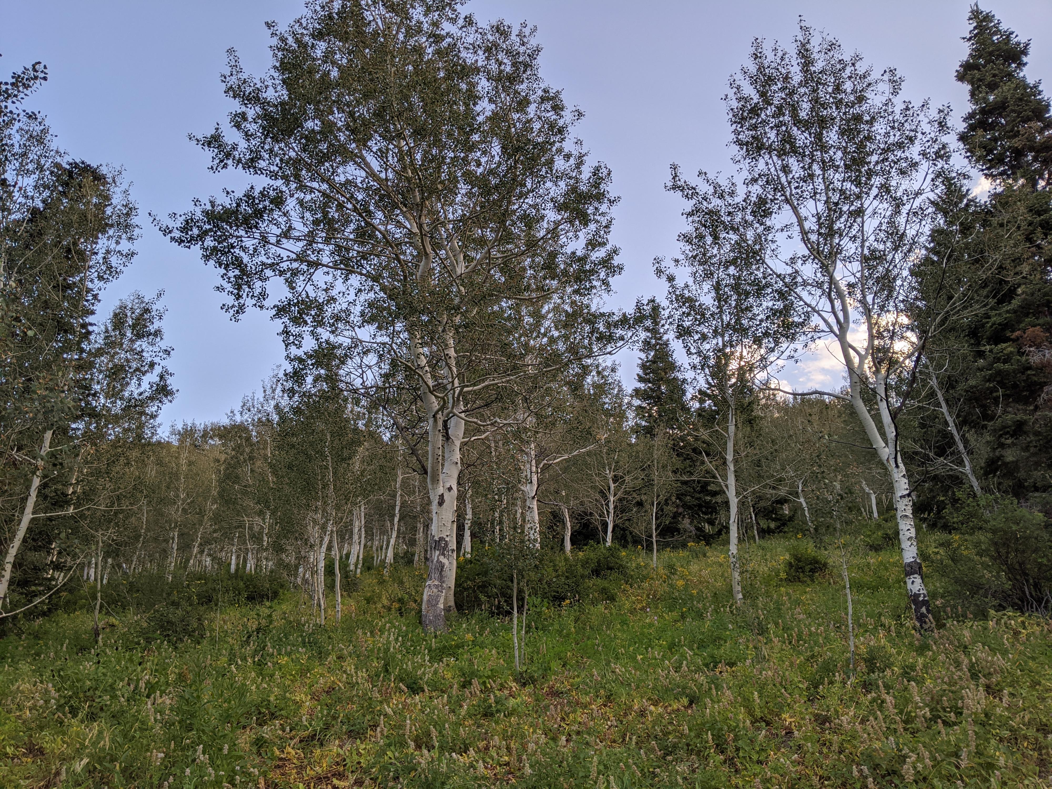
The trail passes under a rugged cliff band and continues up, mostly along the right side of the drainage now. A junction of sorts is reached, with a minor side drainage coming in on the right. The trail deteriorates here, with a game trail going up the left drainage a short distance. Hiking up the slope between the two drainages is the most used path. It makes a couple of small switchbacks and enters a lovely aspen covered slope.
The trail disintegrates in the aspens and is my recommended turn around point. Motivated hikes can continue up the aspen slope on relatively easy terrain to join the Desolation Trail at about the 8600’ elevation line. This, however, requires good route finding.
Photos
Maps

12T 442234E 4499313N
40°38'34"N 111°40'59"W
12T 442593E 4500678N
40°39'18"N 111°40'45"W