 Canyoneering
Alcove Amble Canyon
Canyoneering
Alcove Amble Canyon
Dirty Devil
Overview
With easier access, this is a canyon I would highly recommend. As is, however, access requires about 3 miles of rough driving on a jeep road that will test all but the most experienced off-roaders mettle. It was passable in a Grand Cherokee, but not without a bit of road building and rock moving in spots.
So, the approach road sucks, what about the canyon? It is a delightful intermediate romp with many entrances and exits. A handful of rappels ends in a dramatic grotto just before the exit. At the exit, big views of the seldom seen Dirty Devil River above Lake Powell offers an excellent lunch spot. The exit requires a bit of class 4 scrambling and a tiny bit of route finding, making this best suited to intermediate canyoneers.
Though straightforward, the anchors will require creativity and/or use of a Fiddlestick. If you are not a fan of the Fiddlestick, bring lots of webbing or be prepared to build deadman at most of the drops. With a Fiddlestick, most of the anchors are straight forward but quite a way back from the edge.
Getting There
From Hanksville, travel south on highway 95 for 45.8 miles. This is just after the highway crosses the Dirty Devil River bridge. The side road is exceptionally hard to see when east bound. You may need to pass the road, turn around, and find it on the way back.
Route Description
Approach (5 minutes)
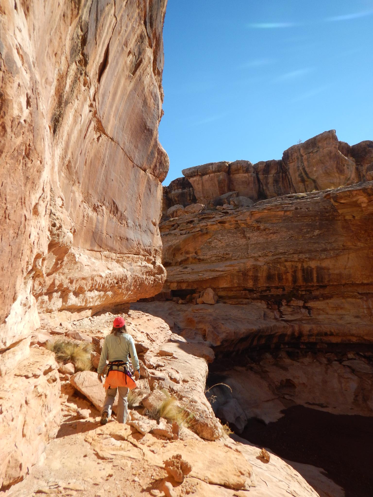
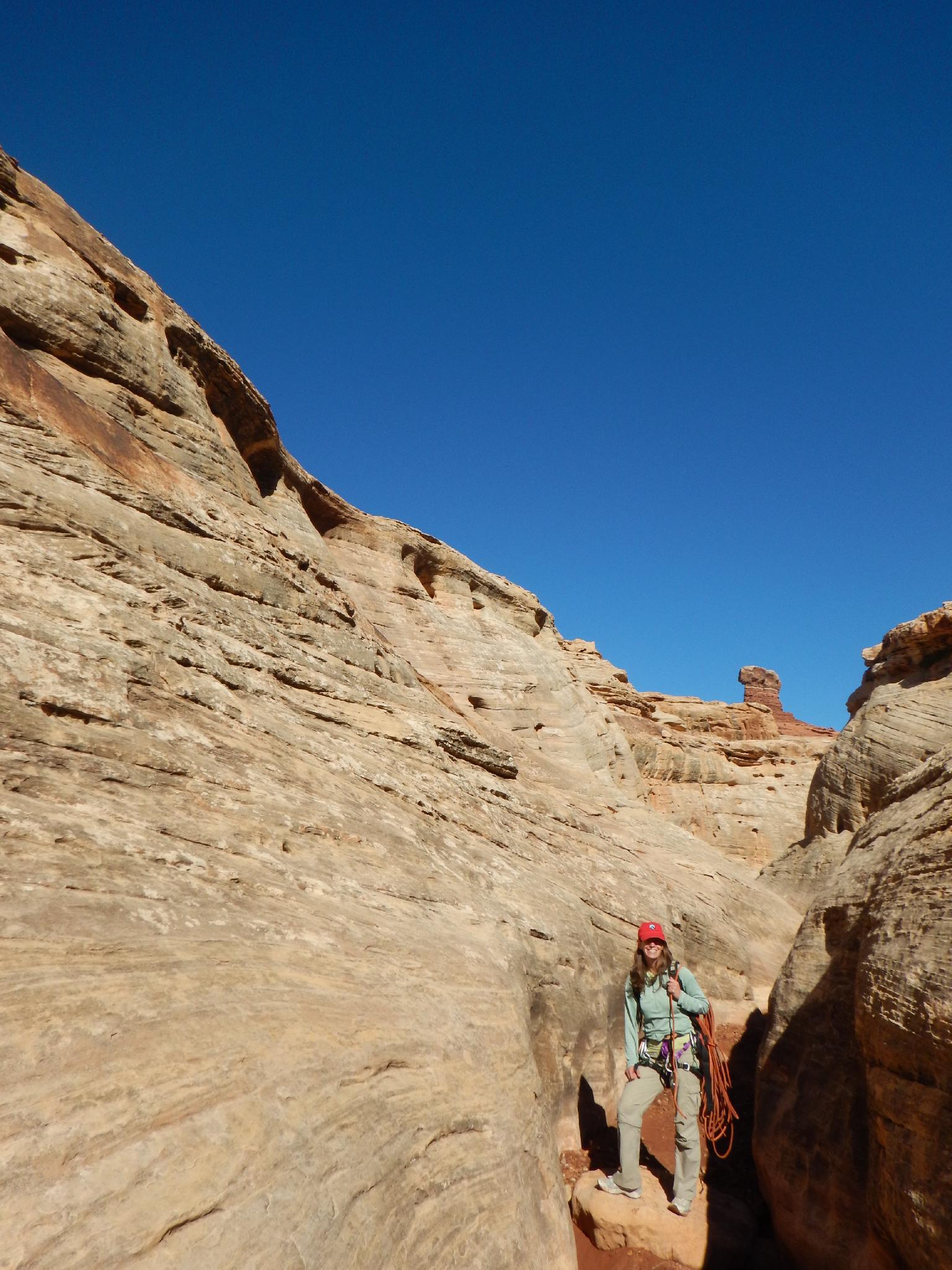
From the trailhead, head north and a bit east, quickly reaching the canyon rim in just a couple of minutes. If you can't reach the canyon bottom easily from where you intersect it, go east (right) along the rim until it is easy to enter the canyon bottom.
Canyon
As you head down canyon, a small dryfall is quickly reached. The drop is about 10 m ( 33 ft. ), but may require rope for a 20 m ( 66 ft. ) rappel depending on what you use as an anchor. Two minutes down from this first rappel is another short 10 m ( 33 ft. ) rappel. Again, depending on the anchor you use, you may need 15 m ( 50 ft. ) or more rope.
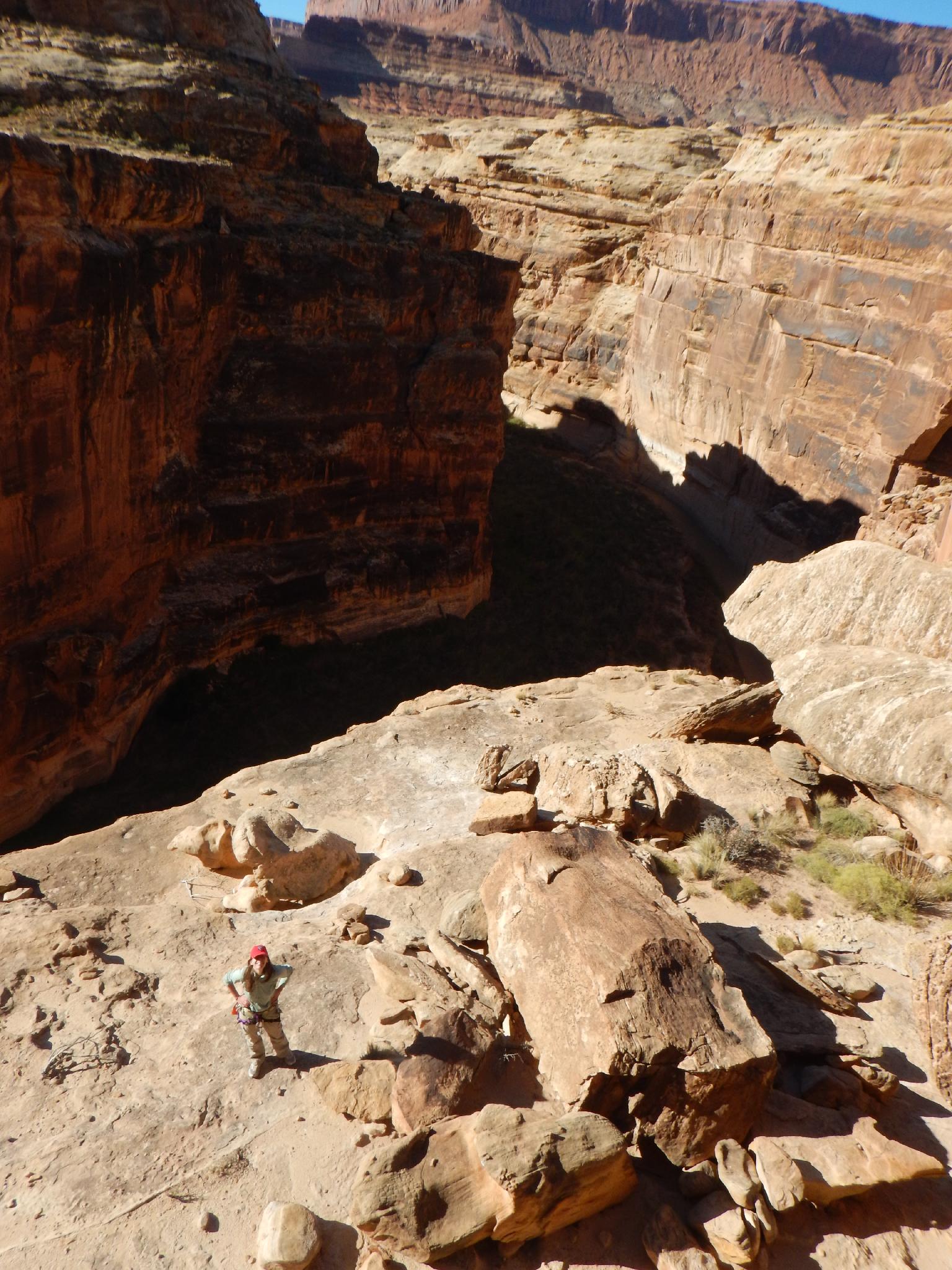
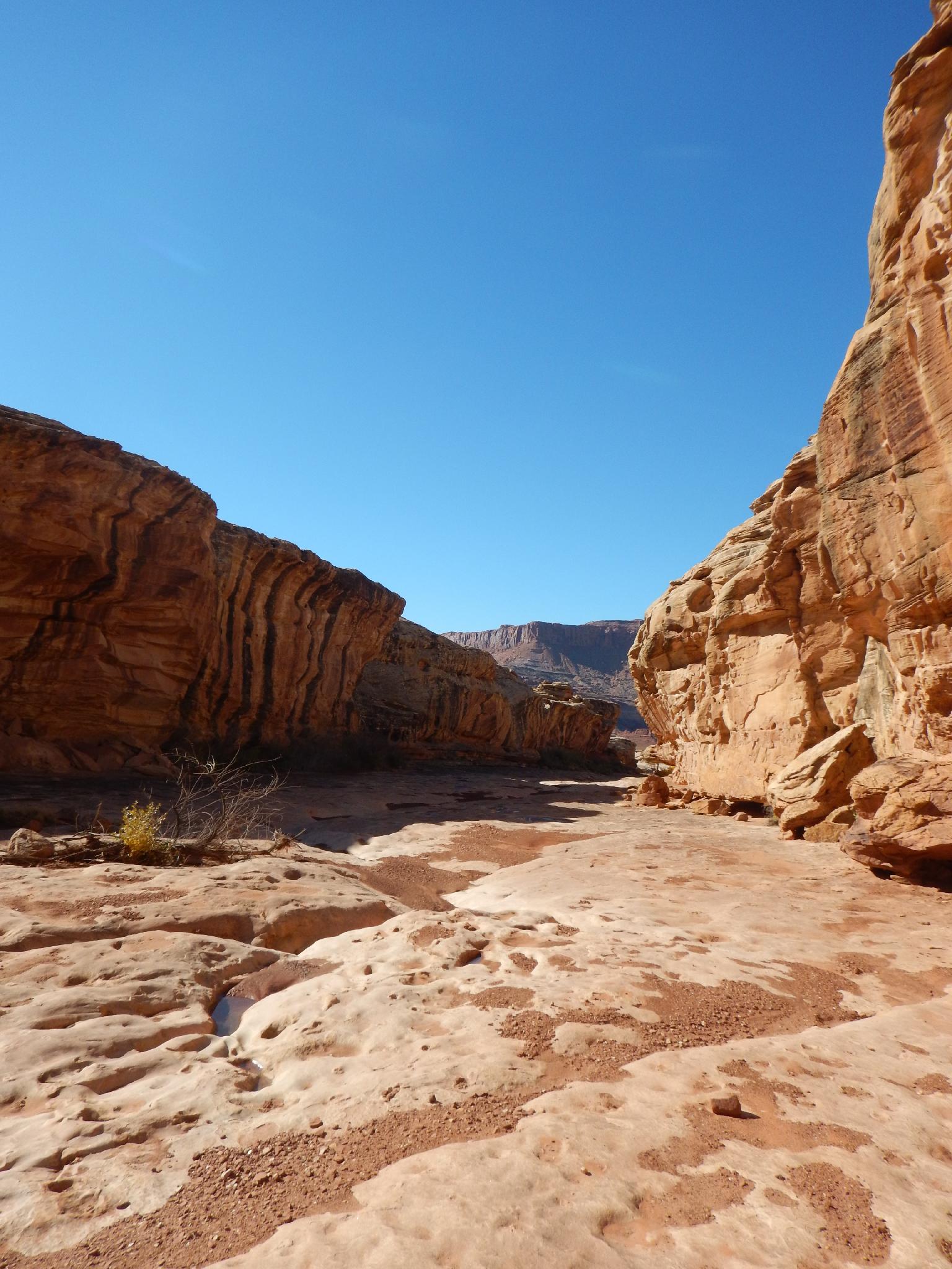
The canyon opens, with an entrance/exit on each side, then drops at the next rappel. This rappel is tricky. There are two stages, both less than 10 m ( 33 ft. ) each, but each can have difficult anchors. Be sure to figure out both drops before committing to one. The easy way out is to rappel both in one 40 m ( 132 ft. ) rappel, but this requires building an anchor near the edge.
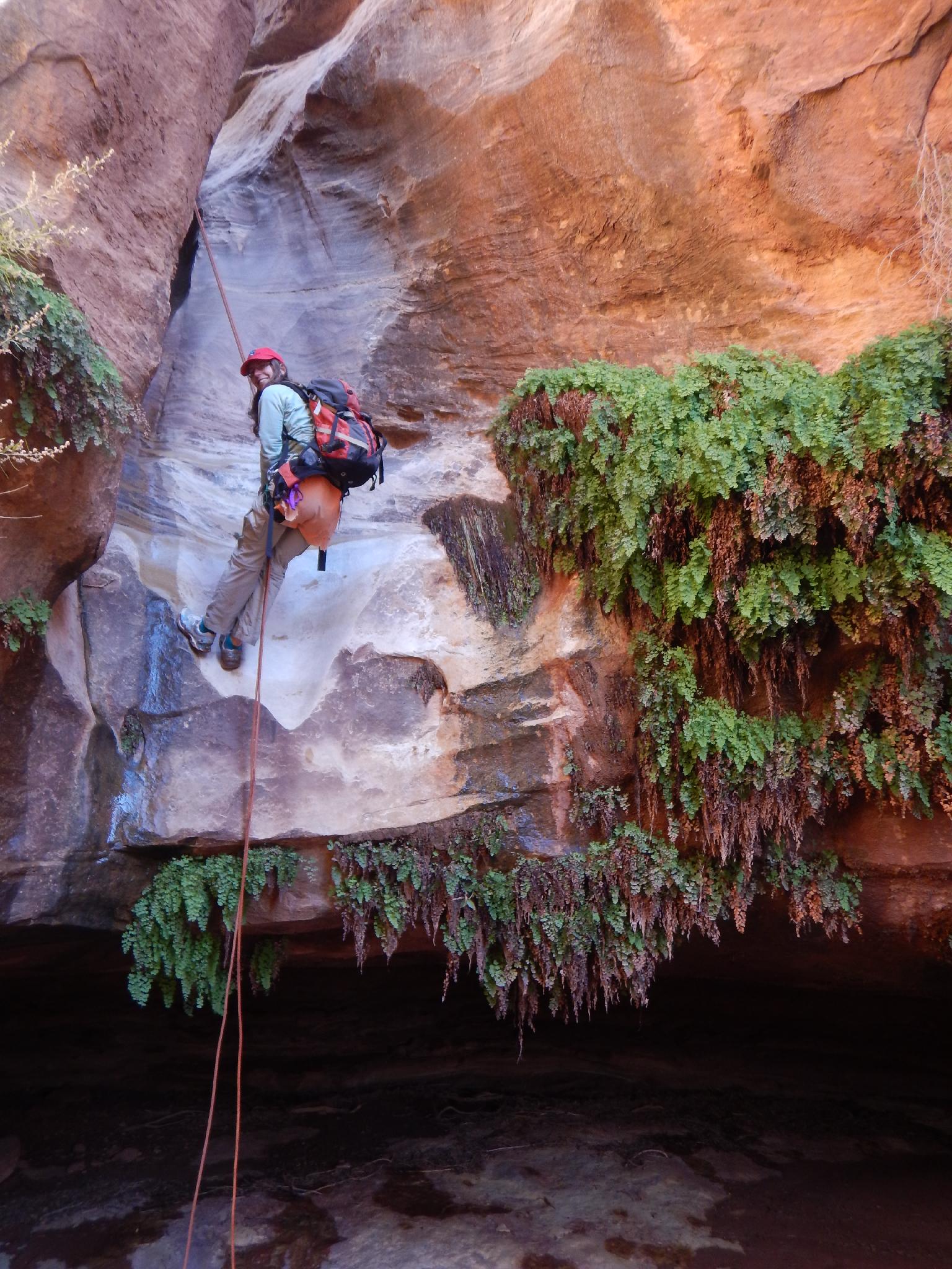
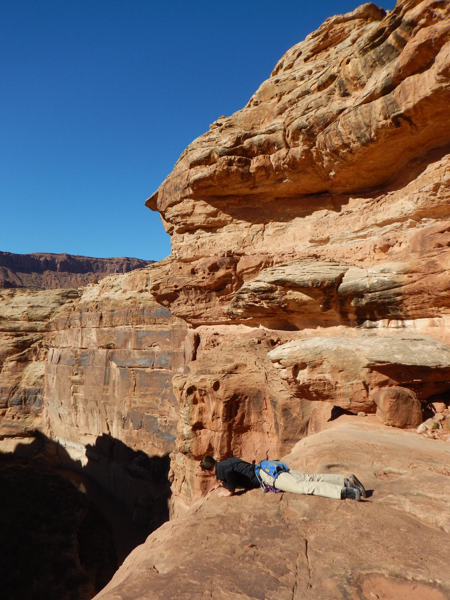
The canyon is easy again for a couple of minutes, then narrows abruptly into the one short slot section of the day. This section is narrow and stunning. A few minutes into it is the final rappel, a short 8 m ( 27 ft. ) rappel into a breathtaking grotto. Mid-day when the light reaches the grotto is fantastic!
This grotto rappel is a very important landmark. As you head down canyon about 1-2 minutes, look for a scramble route out on the left (south). This starts with a little easy class 4. Work up, then left around the corner and up. (One class 4 move getting around the corner). Once around the corner scramble up where convenient. We used several large boulders.
Exit (15 minutes)
From the rim, go cross country directly to the tall skinny mesa you parked at the base of. Assuming you pick the right mesa to aim for, navigation is easy.
Maps

12S 555997E 4199387N
37°56'25"N 110°21'46"W
12S 555992E 4199579N
37°56'31"N 110°21'46"W
12S 555271E 4199314N
37°56'23"N 110°22'16"W
12S 555298E 4199330N
37°56'24"N 110°22'14"W