 Roadside Attraction
Faux Falls
Roadside Attraction
Faux Falls
Moab
Overview
Pioneer Horace Sheley was ahead of his time with an ambitious vision of pumping water from Mill Creek over to Spanish Valley. His vision did not come to fruition until about 1981 when the modern day construction and ambition culminated in the in the creation of Ken's Lake.
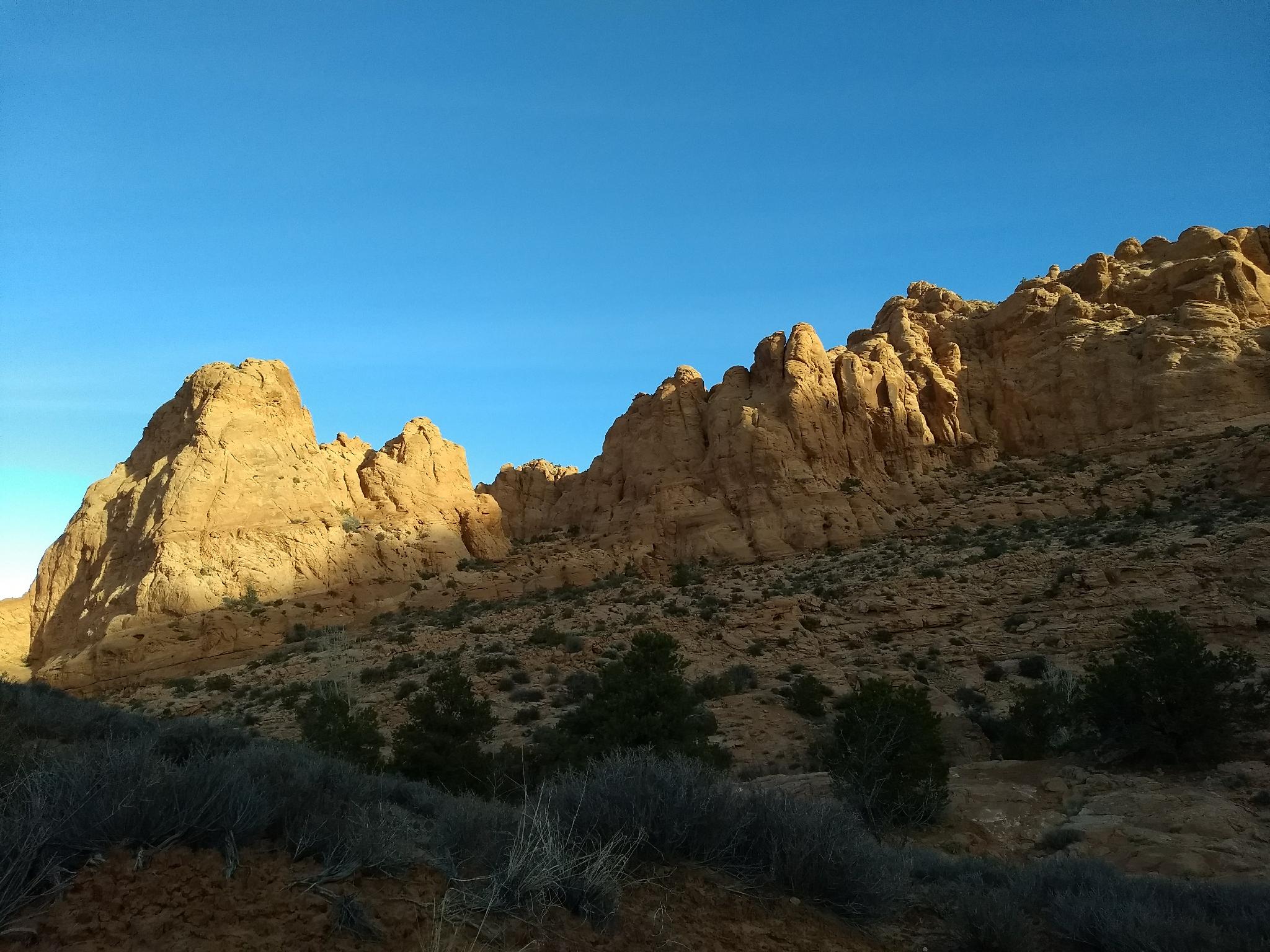
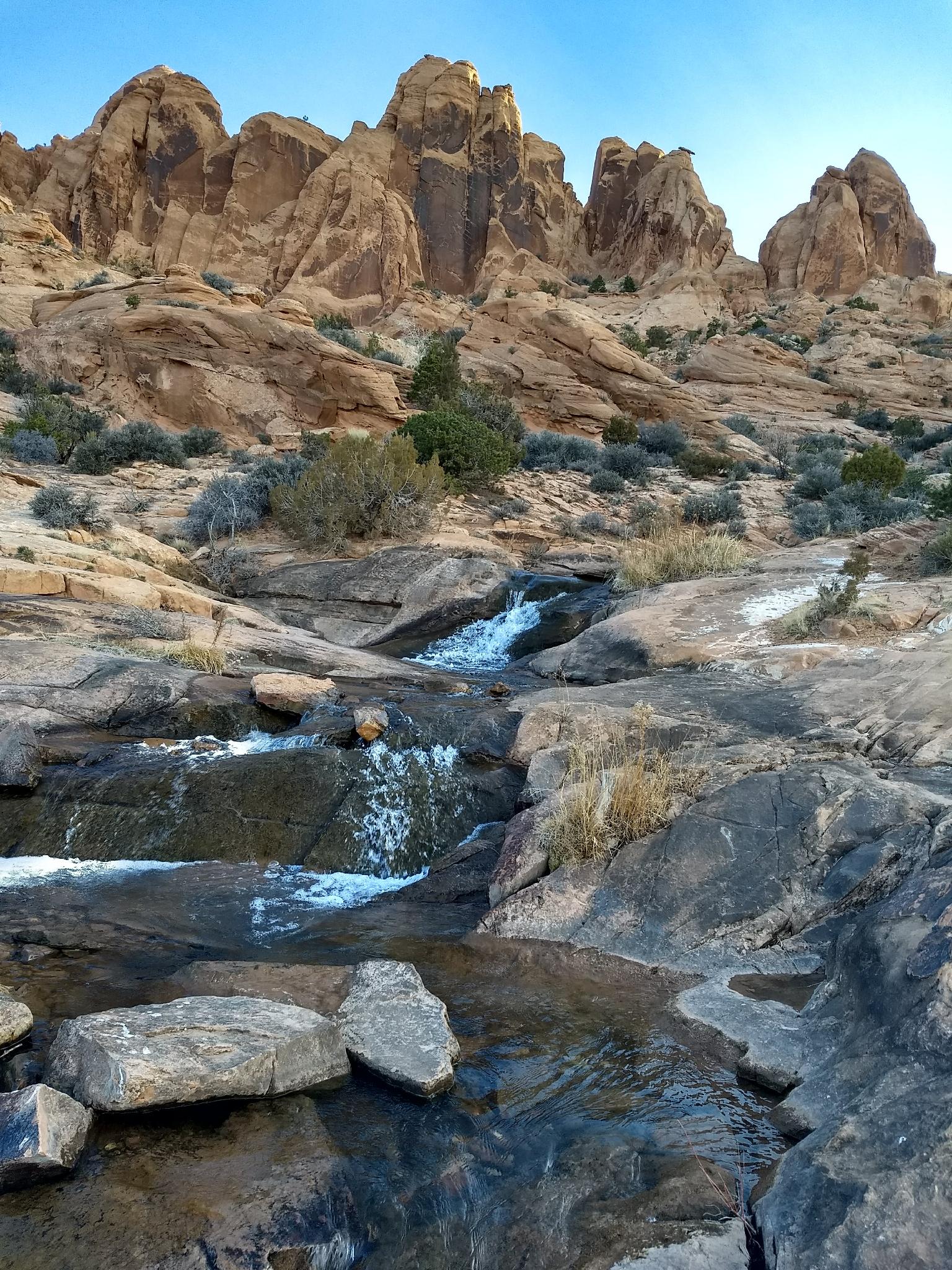
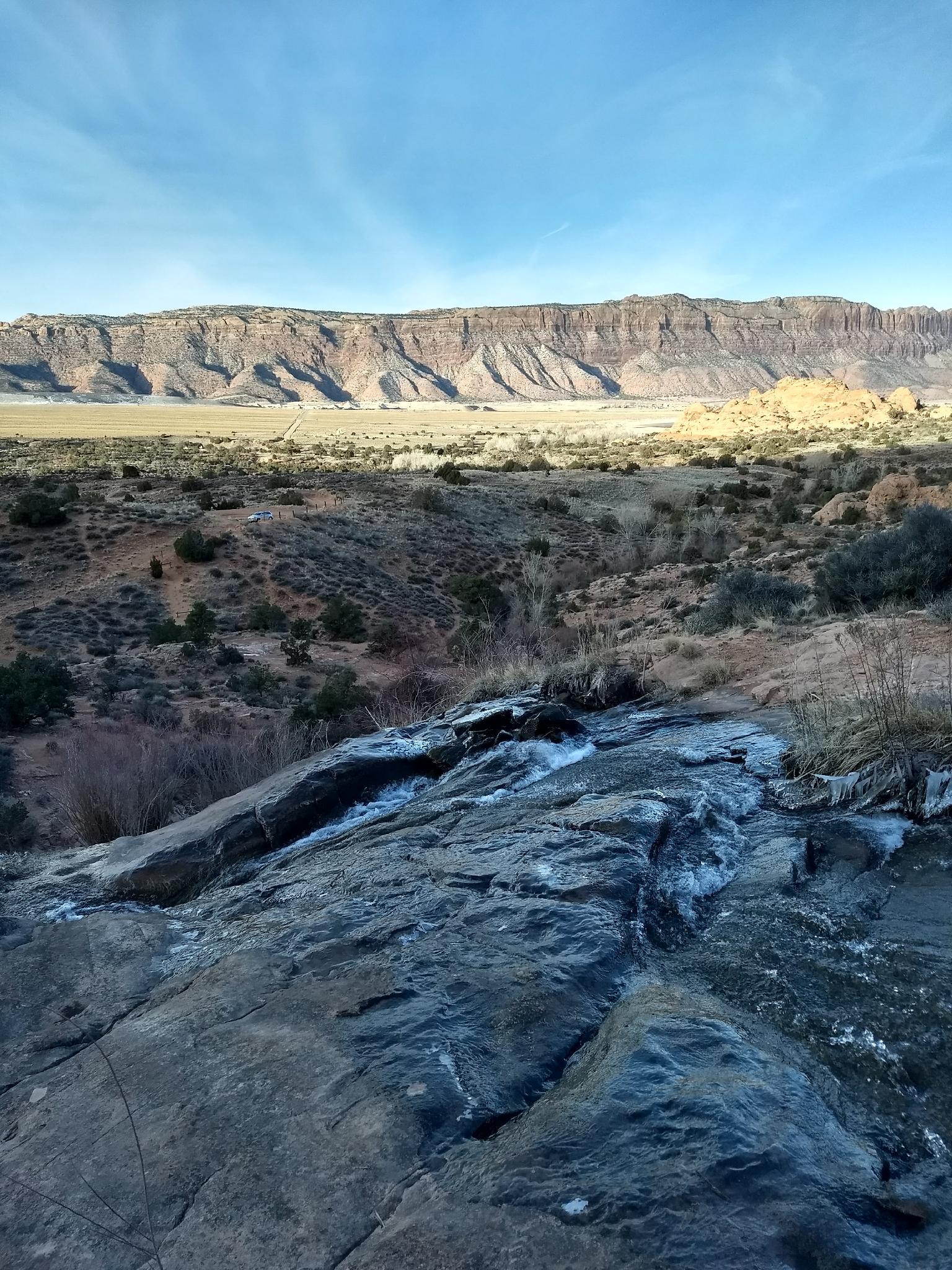
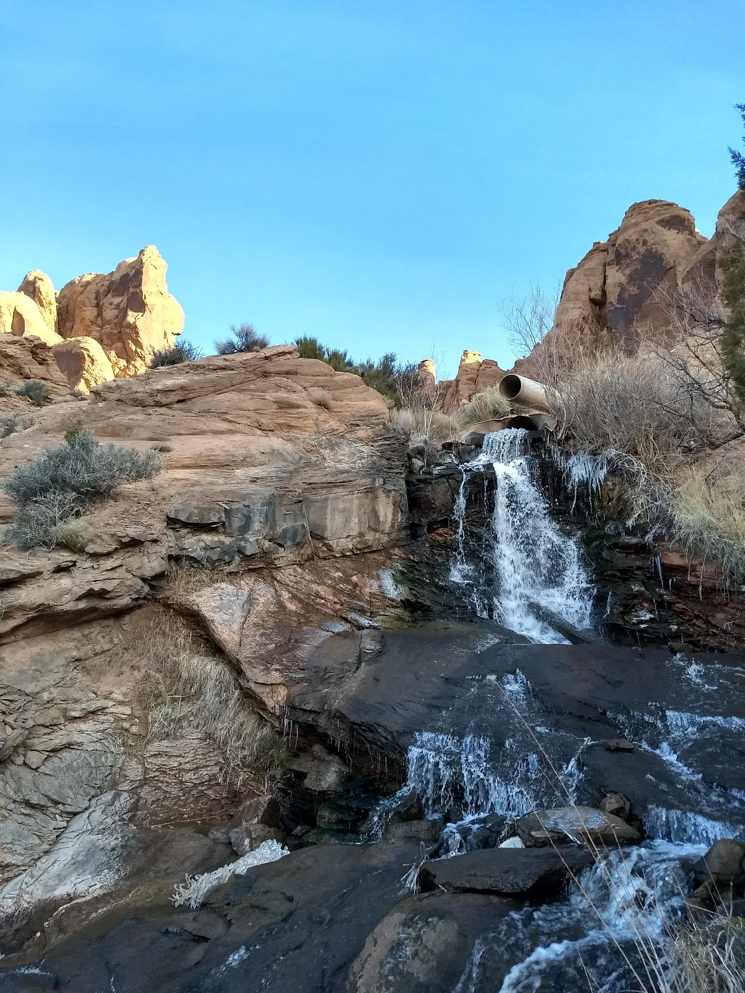
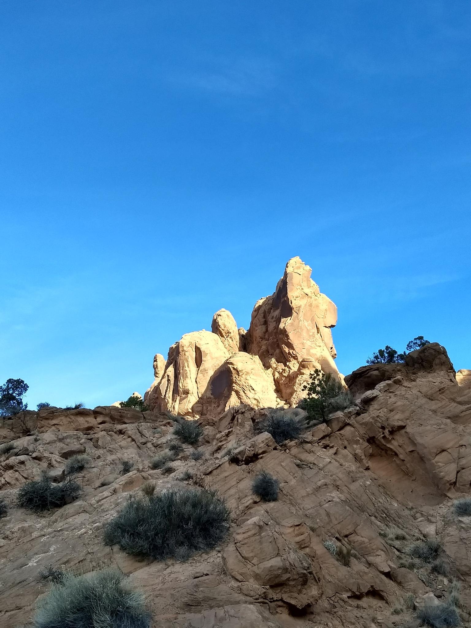
Moving the water required drilling a 645-foot tunnel and pumping water from Mill Creek up through the sandstone tunnel to an outlet high on the ridge. The water then cascades down a rocky created channel filling Ken's Lake. En route from the ridge to the lake, Faux Falls was created. The falls are a stunning contrast to the dry surroundings and a great place to hang out on a hot summer day. There are not deep pools for swimming, but rather cascades and shallow area to splash and refresh in.
Getting There
Go south out of Moab on highway 191 about 7.5 miles to mile marker 117.9.
Route Description
From the trailhead, a well worn social trail meanders down to the picturesque base of the falls. If you're more motivated, follow the higher social trail that meanders up to the outlet pipe high on the ridge that creates the falls.
Maps

12S 637885E 4259890N
38°28'36"N 109°25'09"W
12S 637969E 4260046N
38°28'41"N 109°25'06"W
12S 638443E 4260311N
38°28'49"N 109°24'46"W
12S 638547E 4260371N
38°28'51"N 109°24'42"W
12S 638653E 4260503N
38°28'56"N 109°24'37"W