 Hiking
Sugarloaf Pass via Greeley
Hiking
Sugarloaf Pass via Greeley
Little Cottonwood Canyon
Overview
Sugarloaf Pass is an amazing spot! In the winter, thousands of skiers take in this view when skiing at Alta. In the summer, a service road makes for relatively easy access to the pass, and a lovely hike. The access road has enough switchbacks to never feel too steep. The grassy slopes the road ascends are awash with wildflower blooms in mid-to-late summer. It is a nice hike that is not as crowded as Cecret (Secret) Lake.
As a bonus, a semi-loop can be made by returning via the ever popular Cecret (Secret) Lake tucked up against the base of Sugarloaf Peak.
Due to traffic in Albion Basin, my recommendation is to go early and have a backup plan if getting into Albion Basin proves to difficult. Grizzly Gulch or Collins Gulch are good fallbacks that are nearby. You can start from the lower Alta parking lot and hike up Albion Meadows to reach the trailhead, but this adds about 3.5 miles round-trip. If considering starting from Alta, it is more scenic to go up Collins Gulch and return via this route.
Getting There
Little Cottonwood Canyon is on the east side of the Salt Lake City Valley. Get there by following I-215 to the east, taking exit 6 off the interstate and heading east toward the mountains.
Follow 6200 South which becomes Wasatch Blvd for 1.8 miles to the stop light and signs for Big Cottonwood Canyon. Continue south (straight) through the light an additional 2.3 miles to a junction and light. Stay left here, reaching the mouth of Little Cottonwood Canyon in an additional 1.6 miles.
From the mouth of Little Cottonwood, travel up the canyon 11.2 miles to the signed Secret Lake Trailhead parking, just before the Albion Basin Campground.
Route Description
From the trailhead, follow the Albion Basin road back the way you came. In just a few minutes, a dirt road leaves on the south (left side). Follow this dirt road as it descends to Alf’s Restuarant (closed in the summer). After Alf’s the road makes a bend to the left, then a side road leaves on the right. Take this side road.
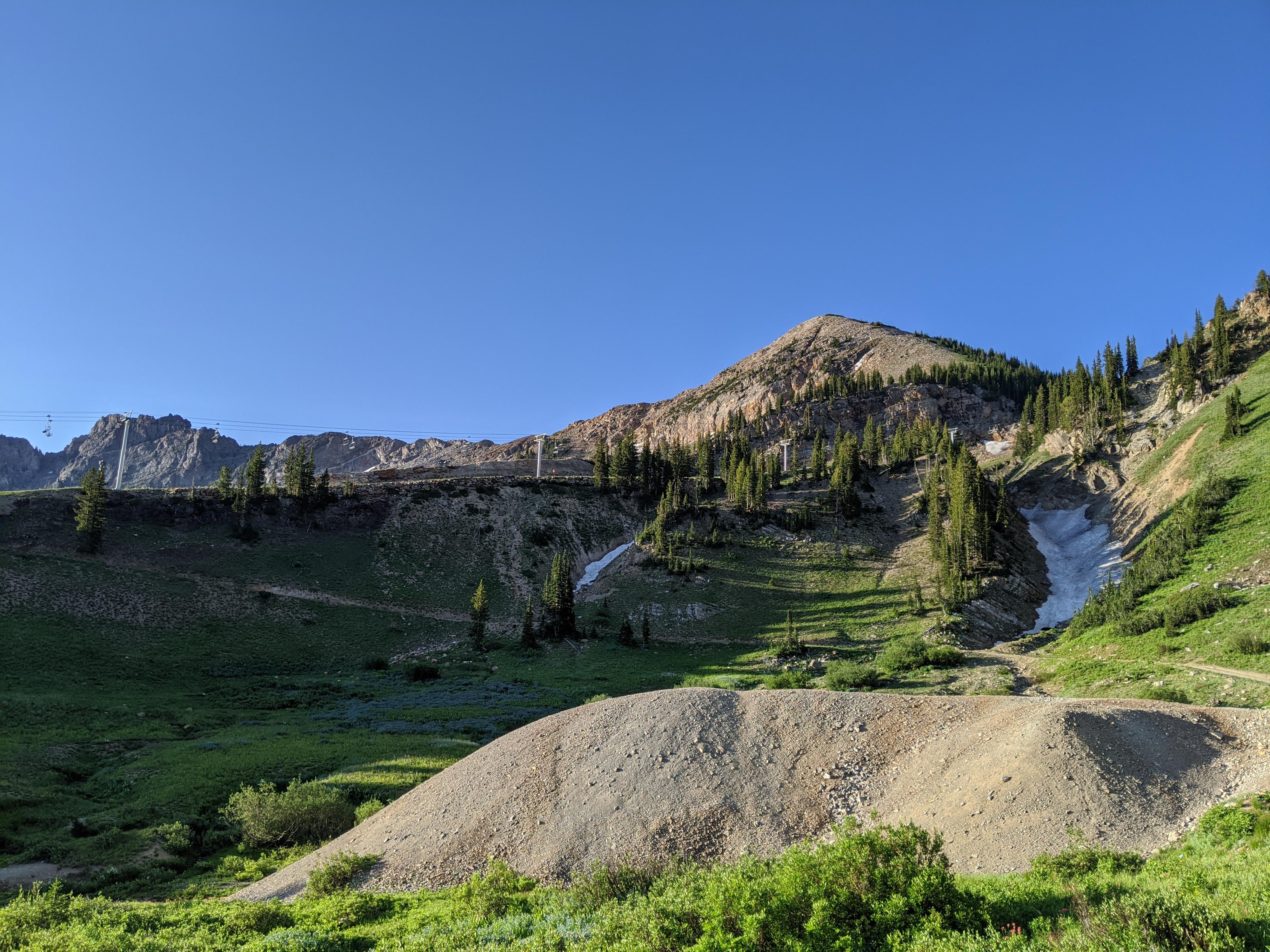
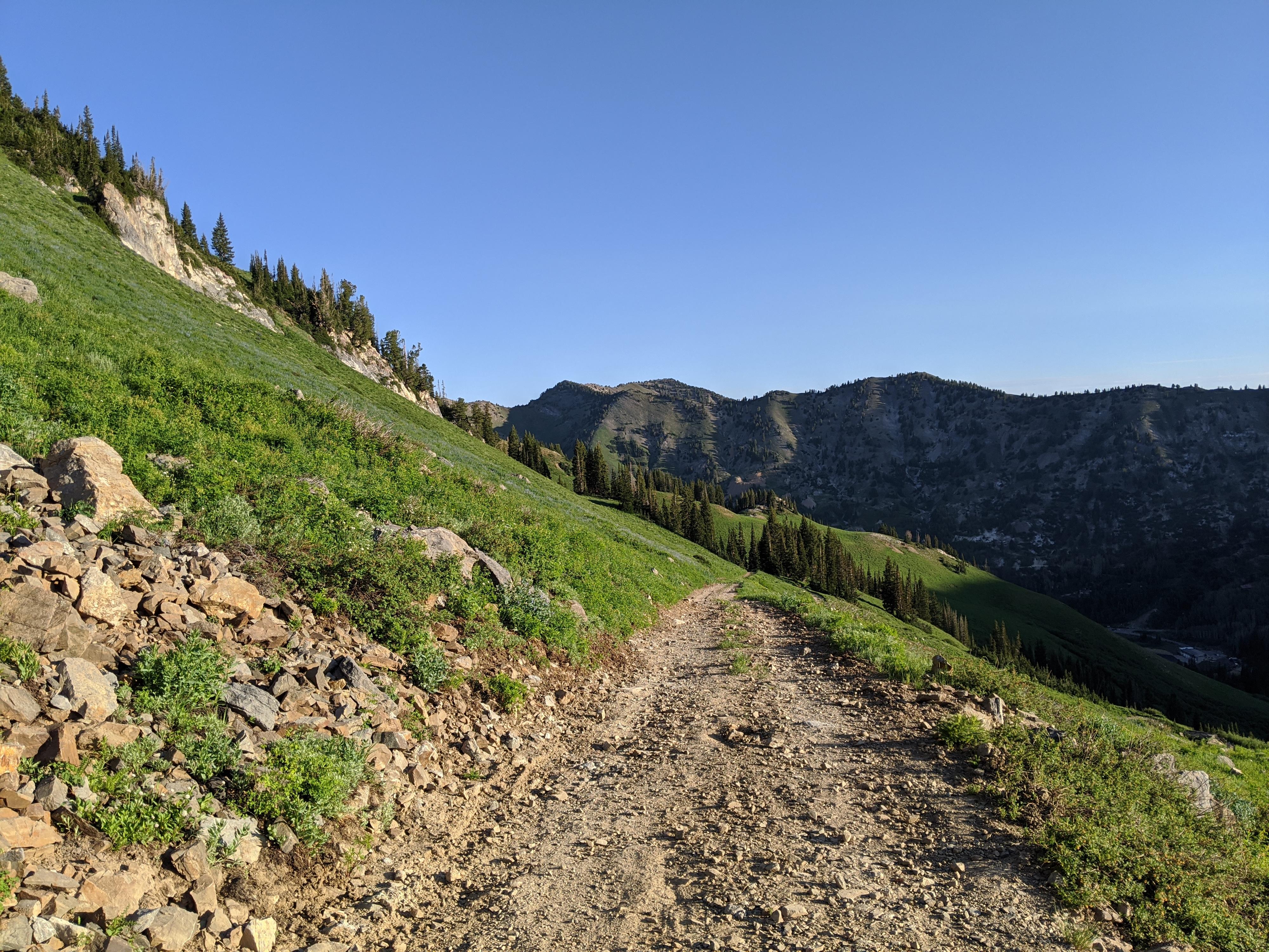
Navigation is easy from here, follow the road as it climbs and switchbacks up Glory Gulch. The views and wildflowers seemingly get better and better. The road passes old mine tailing piles as Devil’s Castle and Sugarloaf Peak come in the view.
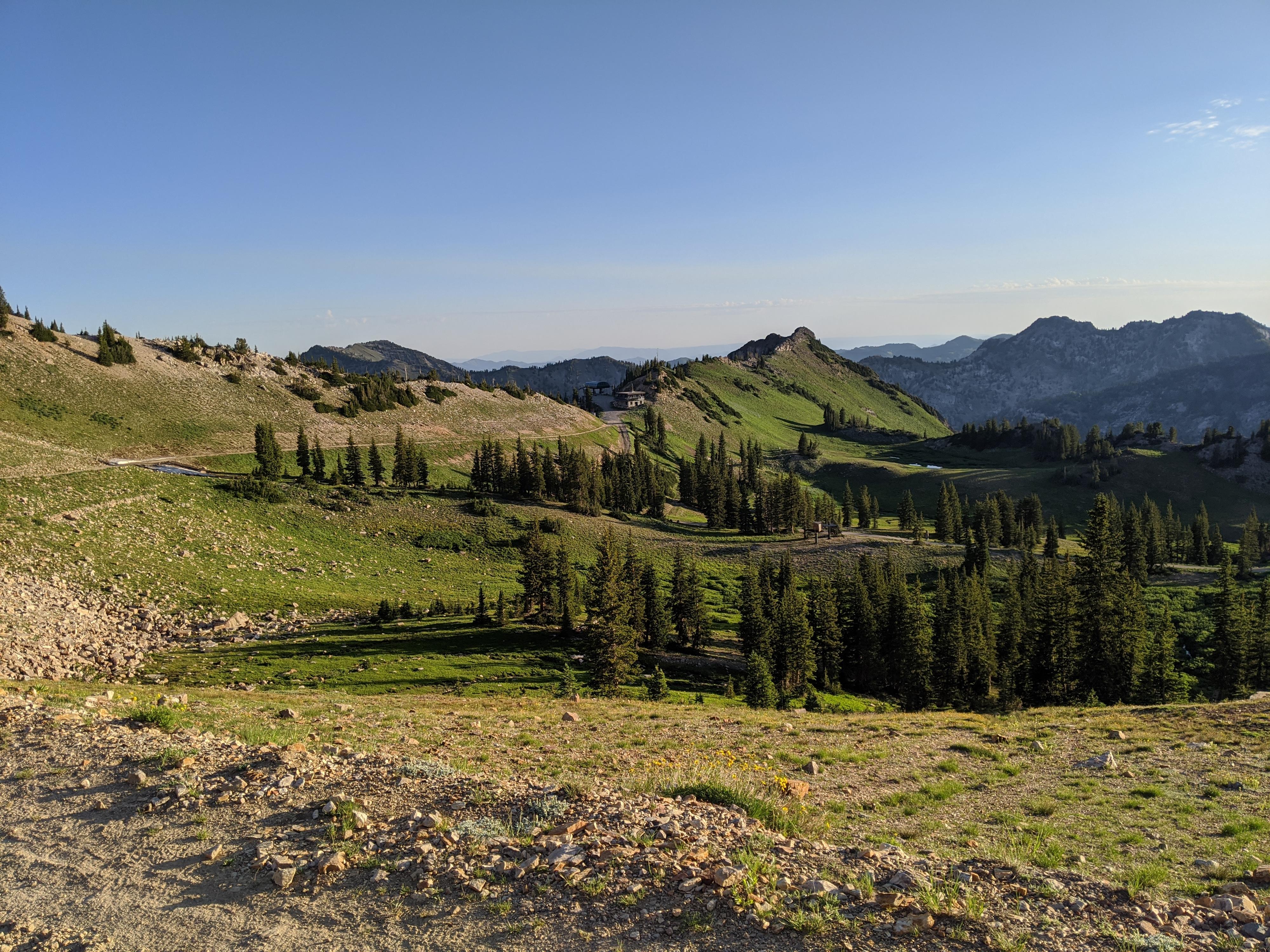
At a ridge, the road reaches a junction. Right continues up to Germania and Sugarloaf Passes, left is the Cecret (Secret) Lake optional return. Go right. The road climbs and goes through a narrow notch before a final climb to Germania Pass. At the pass is a junction. Go left, reaching Sugarloaf Pass, the top of a ski lift, and excellent views in just a few minutes.
Return the same way or go right at the *Jct - Secret Lake Return* and descend to Cecret (Secret) Lake, then follow the Cecret (Secret) Lake trail back to the trailhead.
Photos
Maps

12T 448118E 4492094N
40°34'41"N 111°36'47"W
12T 448070E 4492326N
40°34'48"N 111°36'49"W
12T 447130E 4491576N
40°34'24"N 111°37'29"W
12T 446542E 4491370N
40°34'17"N 111°37'54"W
12T 446639E 4490881N
40°34'01"N 111°37'49"W