 Hiking
Little Mountain
Hiking
Little Mountain
Emigration Canyon
Overview
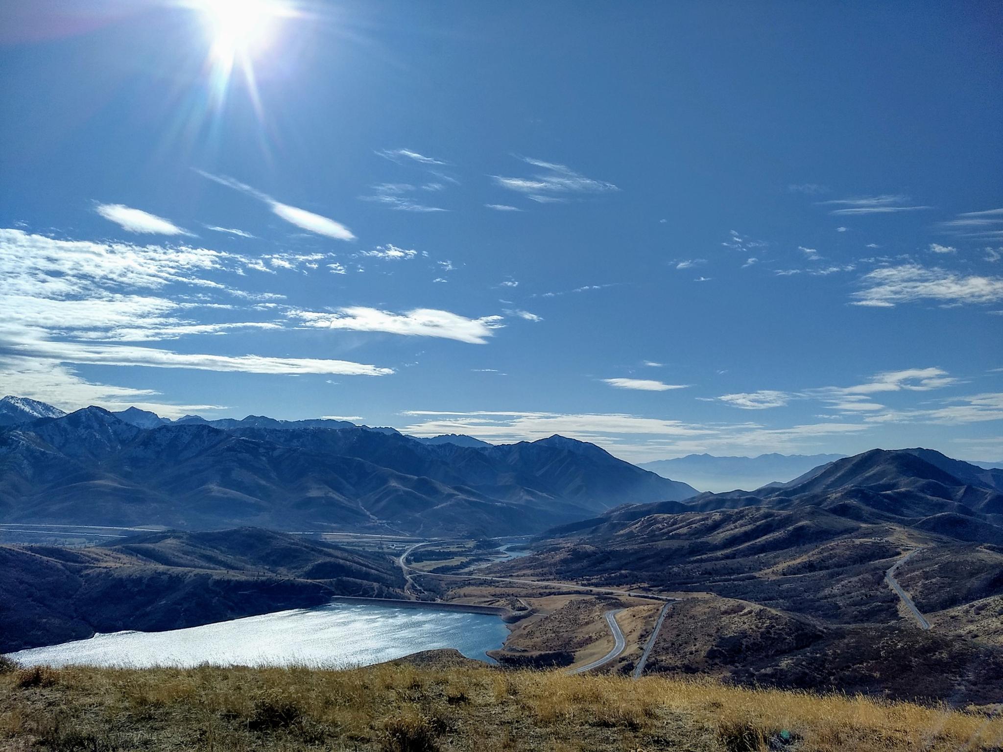
Little Mountain was the last obstacle the early pioneers faced on their route to the Salt Lake Valley. The trail was first developed in 1846 by the ill-fated Donner Party, and later heavily travelled by Mormon pioneers. Today, a paved road makes an easy passage over the pass. From the pass, the summit of Little Mountain north along the ridgeline. The summit is not particularly scenic but easy access and sun exposure make it easily accessible in the shoulder seasons when the higher mountains are still snow packed. This is also a route many do on snowshoes or cross-country skis in the winter.
Getting There
From Salt Lake City, travel east about 6 miles on I-80 to exit 134 (East Canyon / Little Dell). From exit 134, travel north on UT-65 for 2.4 miles. Turn left here, toward Emigration Canyon, and follow it 1.5 miles to the pass.
There is a large parking area, toilet, and informational sign on the south side of the road. This is the trailhead. The trail begins across the road from the trailhead.
Route Description
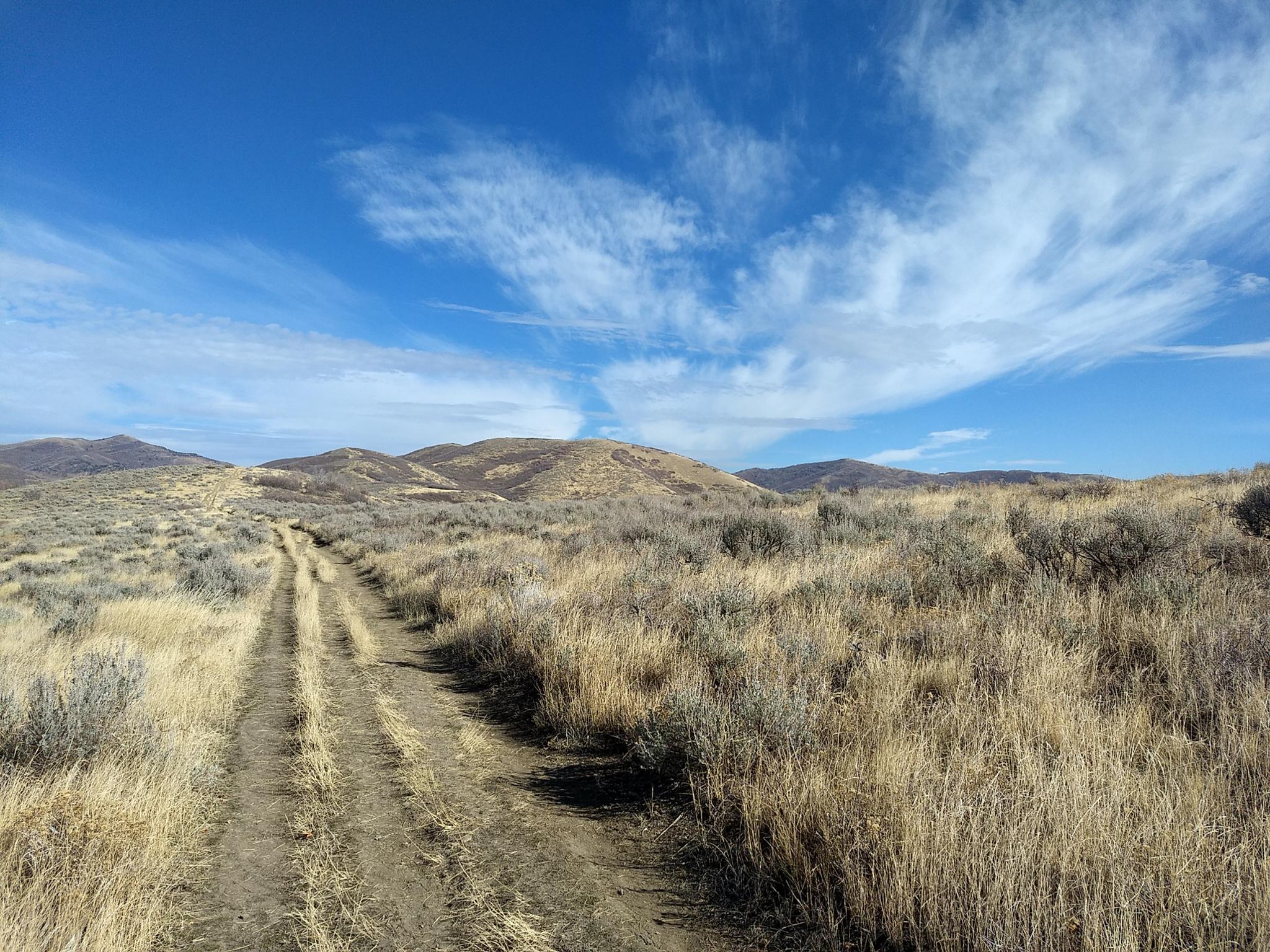
From the parking area at the pass, follow the dirt road that heads north. This starts on the other side of the road from the parking area. The road climbs steeply, then settles into a more mellow grade. Along the ridge, the trail becomes a single track and splits. The left trail climbs to the small summit on the left, then descends to a saddle below Little Mountain. The trail to the right goes more directly to the saddle below Little Mountain.
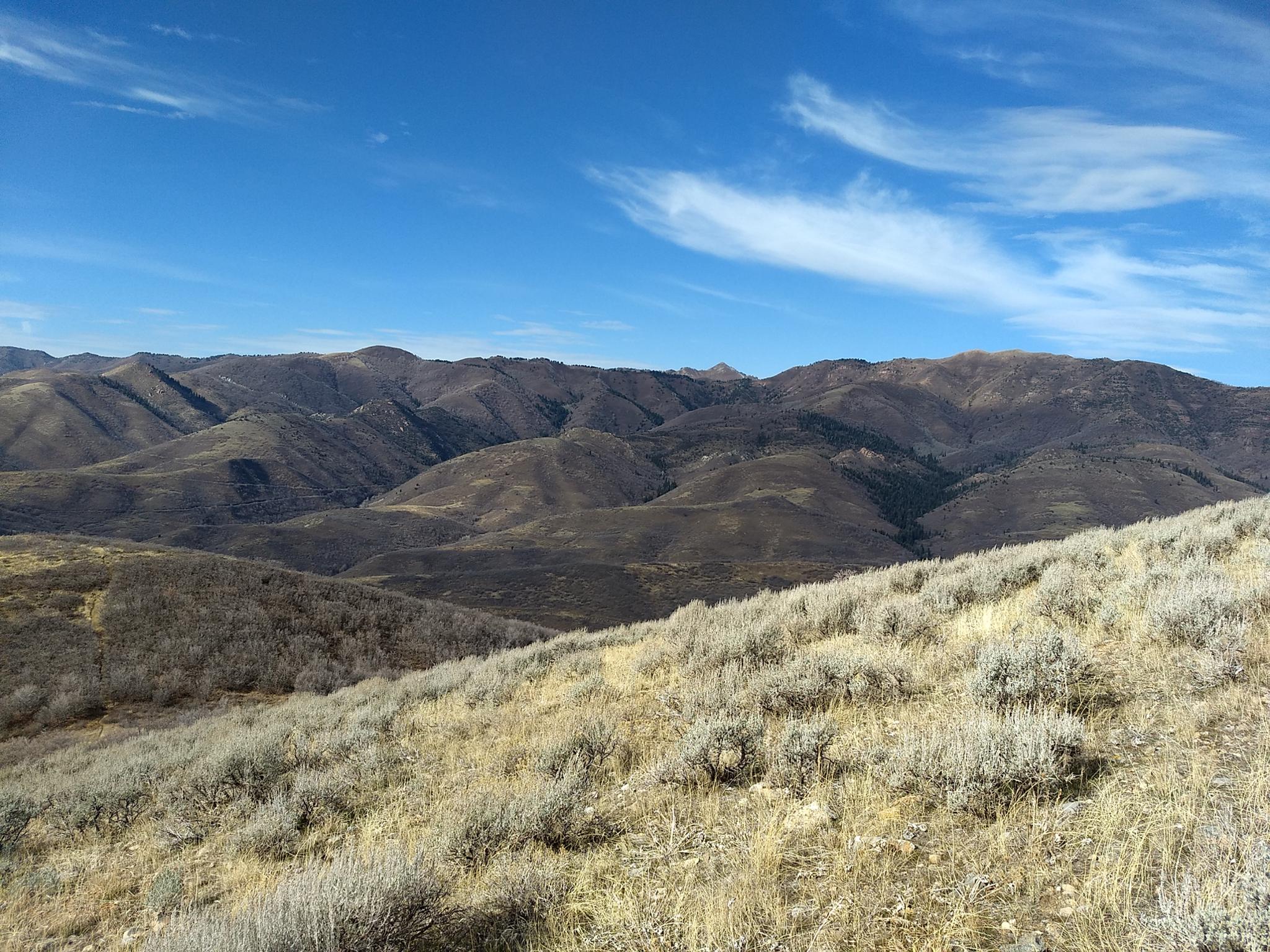
From the saddle, a good social trail climbs to the ridge of Little Mountain and forks at the top. Most go right (south) along the ridge to a nice overlook and cairn. For the true peak bagger, however, the true summit is north (left) along the ridge.
To reach the true summit, follow the social trail north along the ridge. At a high point, follow whatever seems the most sensible social trail as it descends then climbs back up to the true summit. This last section, on my trip, had flagging marking a trail, but it was still hard to follow in spots and not well used. Once below the high point of Little Mountain, the social trail seemed to disappear, but open slopes make it easy to climb to the summit.
Return the same way.
Photos
Maps

12T 439381E 4514009N
40°46'29"N 111°43'06"W
12T 440811E 4515421N
40°47'16"N 111°42'06"W
12T 441177E 4515701N
40°47'25"N 111°41'50"W
12T 441422E 4515419N
40°47'16"N 111°41'39"W
12T 441758E 4516316N
40°47'45"N 111°41'25"W