 Hiking
The Salmon
Hiking
The Salmon
Boulder Mountain
Overview
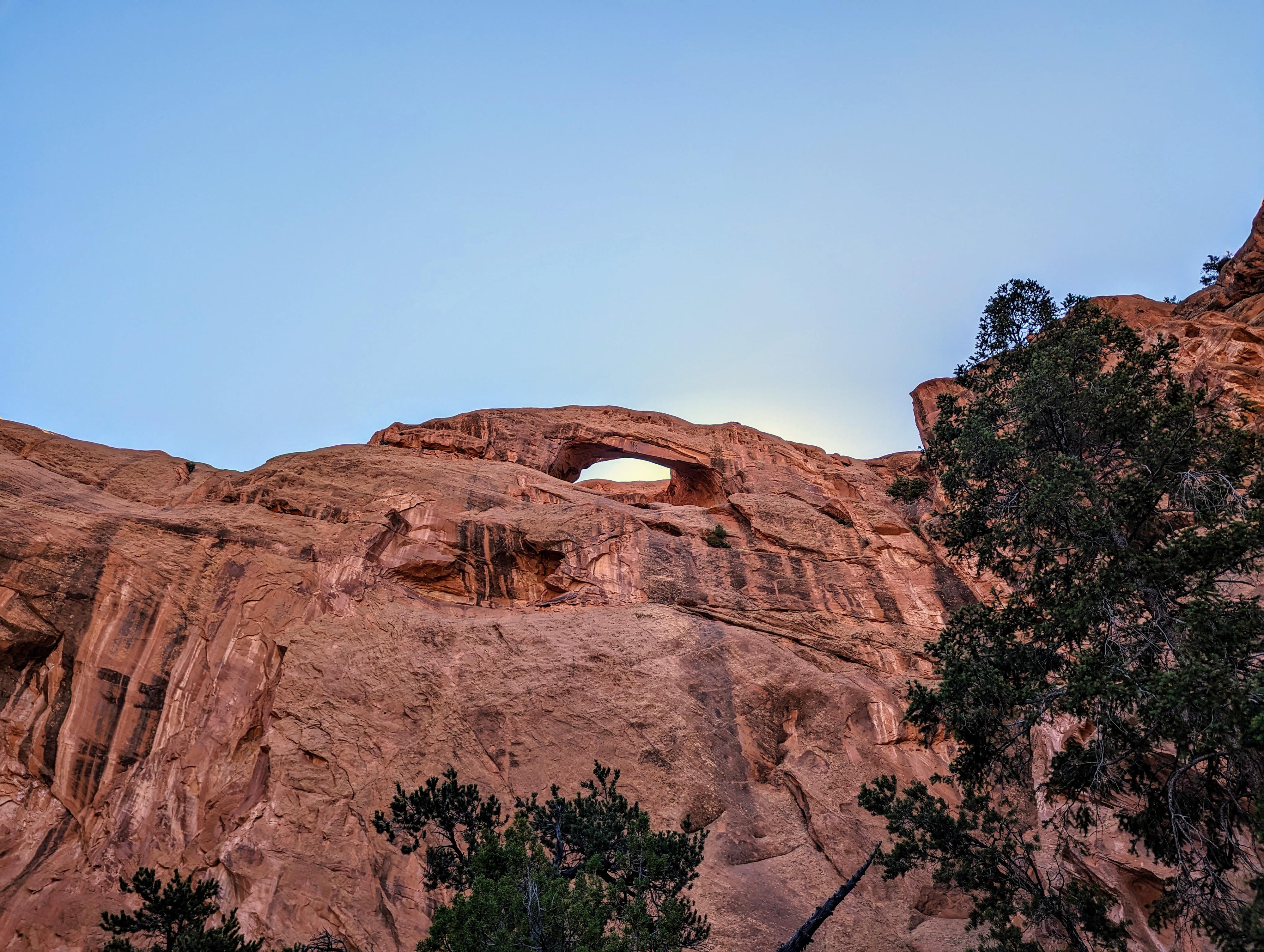
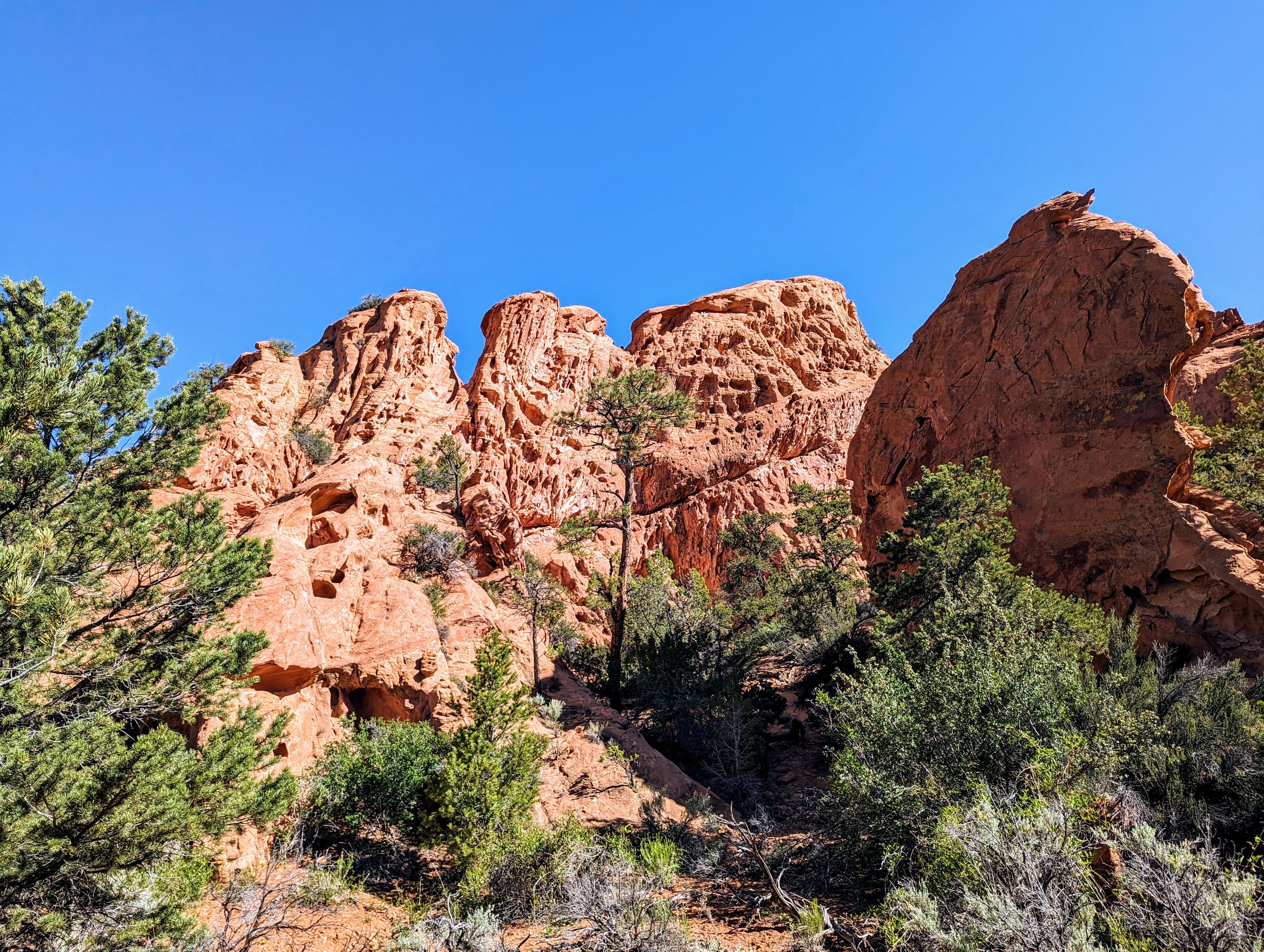
The Salmon is a sandstone formation east of Lower Bowns Reservoir. I was intrigued to find "Natural Arches" marked on the topographical map on the Salmon. Armed with just that information, the family and I went out to check it out. Turns out to be an easy hike, partly along a cattle trail, to the arches. There are two, but the highest is difficult to see, and really only visible from a distance. The second is easy to visit from the bottom and a fairly impressive arch.
This is probably not a destination hike, unless you are an arch enthusiast, but is a nice short hike if you are visiting the nearby Lower Pleasant Creek Falls or Tantalus Creek Corral.
Getting There
The trailhead is east of UT-12 beyond Lower Bown Reservoir. To get there, head south on UT-12 from the UT-24/UT-12 junction east of Torrey. Follow UT-12 for about 17 miles to milepost 106.1.
Route Description
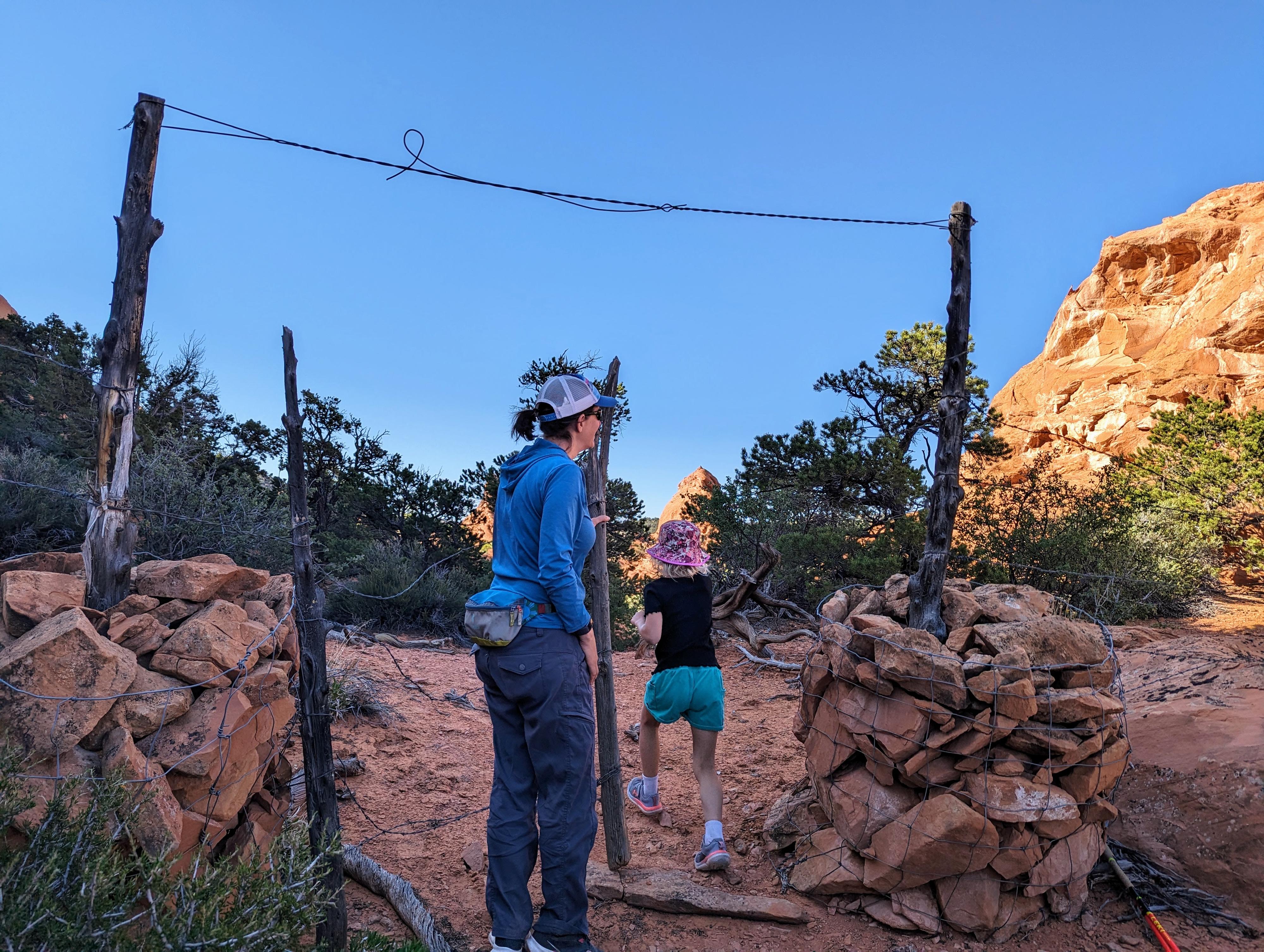
The trailhead is fairly nondescript. The goal is to cross over the ridge south of the trailhead. From where you park, begin heading southwest. After just a few minutes, begin angling more south and up. On our visit, there had been recent cattle moved on an old trail here, and it was fairly easy to find and follow the path.
The path of least resistance will lead you to a gate/fence. Pass through it and continue over the top of the ridge. From the top of the ridge, on our visit, the cattle trail braids into many trails. Head down to Maverick Draw via whatever looks to be the easiest path. Just keep an eye on your route so you can find it again at the end of the hike!
Follow Maverick Draw up stream. The large sandstone feature, The Salmon, is easily visible in the distance. As you get closer, look for the arches. The highest arch is most visible from a distance. The lower arch is easy to spot up the first major drainage that goes to The Salmon. Return the same way.
Maps

12S 482086E 4220295N
38°07'49"N 111°12'16"W
12S 482068E 4220034N
38°07'41"N 111°12'17"W
12S 482438E 4219355N
38°07'19"N 111°12'01"W
12S 482471E 4219373N
38°07'19"N 111°11'60"W