Double Arch |

Arches

Hiking Double Arch - Arches Hiking Double Arch

Arches

Overview

RATING: Easy Hiking
MAPS: THE WINDOWS SECTION, UT;

Sat

A chance of rain showers before 9am, then showers and thunderstorms likely. Mostly cloudy, with a high near 60. Southwest wind 10 to 15 mph. Chance of precipitation is 60%.

60 | 44

Sun

Mostly sunny, with a high near 64.

64 | 44

Mon

Sunny, with a high near 72.

72 | 42

Tue

Sunny, with a high near 77.

77 | 48

Wed

Sunny, with a high near 81.

81 | 50

View Full Weather Details
SEASON: Any, although summers can be hot.
GEAR: Standard Hiking Gear
WATER: None

Sat

A chance of rain showers before 9am, then showers and thunderstorms likely. Mostly cloudy, with a high near 60. Southwest wind 10 to 15 mph. Chance of precipitation is 60%.

60 | 44

Sun

Mostly sunny, with a high near 64.

64 | 44

Mon

Sunny, with a high near 72.

72 | 42

Tue

Sunny, with a high near 77.

77 | 48

Wed

Sunny, with a high near 81.

81 | 50

View Full Weather Details
Double Arch

Double Arch

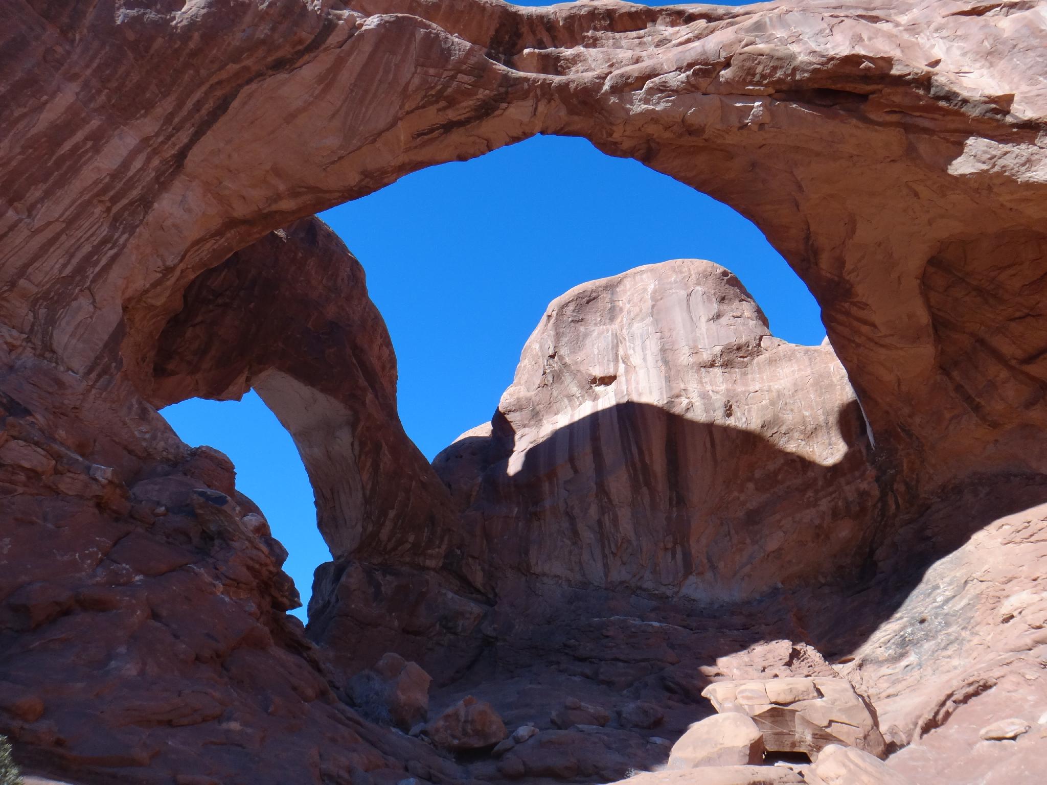
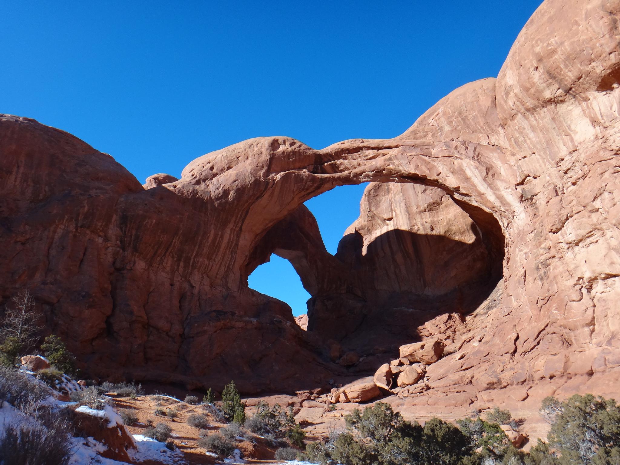
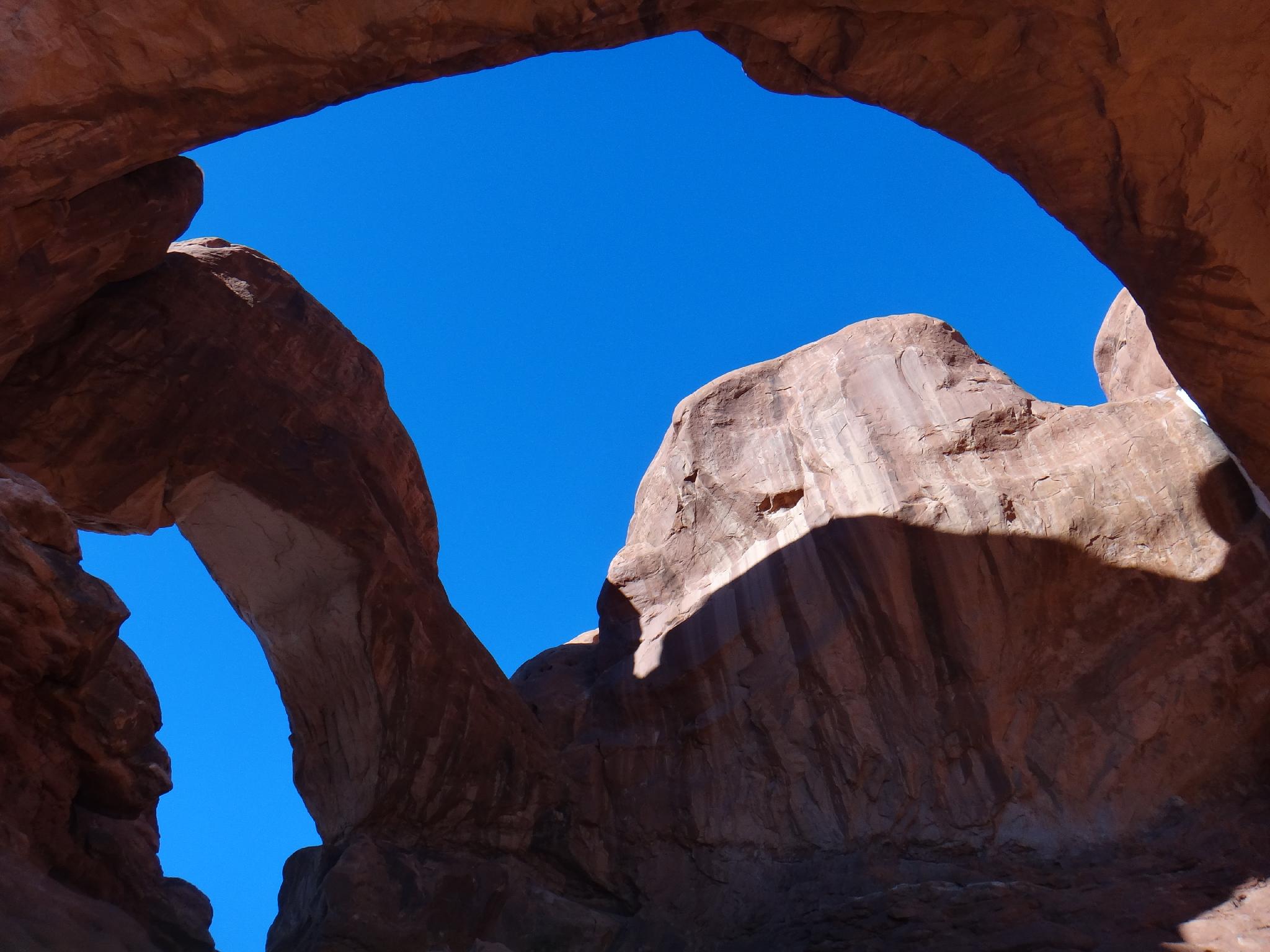
Double Arch is uncommon in Arches National Park in that the arches were created from water erosion from above, rather than the more common side erosion that created most of the other arches in the park. The size of the arches is impressive, with the biggest arch being 148 feet wide and about 104 feet high. It is a very worthwhile short hike, accessible to most.

On a trivia note, the arch was briefly visible in the beginning of the movie Indiana Jones and the Last Crusade.

Approaching Double Arch

Approaching Double Arch

Getting There

From the visitors center, follow the main park road 9.1 miles to just passed the Balanced Rock pullout. Turn right onto The Window Road and follow it to its end in 2.5 miles. This is both The Windows Trail and Double Arch Trailheads.

The view from under Double Arch

The view from under Double Arch

Route

From the trailhead, it is about 0.25 miles to Double Arch. The arch is situated below Elephant Butte, the highest point in Arches National Park.

En route to the arch, the large rock formation on the left is known as the Parade of Elephants, an easy to understand name when you view the formation with a little imagination!


Maps

Route / 0.91 miles / Elevation Range 5,119 - 5,172 ft.
Printable Maps:
Trailhead Double Arch

12S 627107mE 4283189mN

N38° 41' 17" W109° 32' 19"

Double Arch

12S 626966mE 4283512mN

N38° 41' 28" W109° 32' 24"

Comments

Want to make a comment? Login and let yourself be heard.